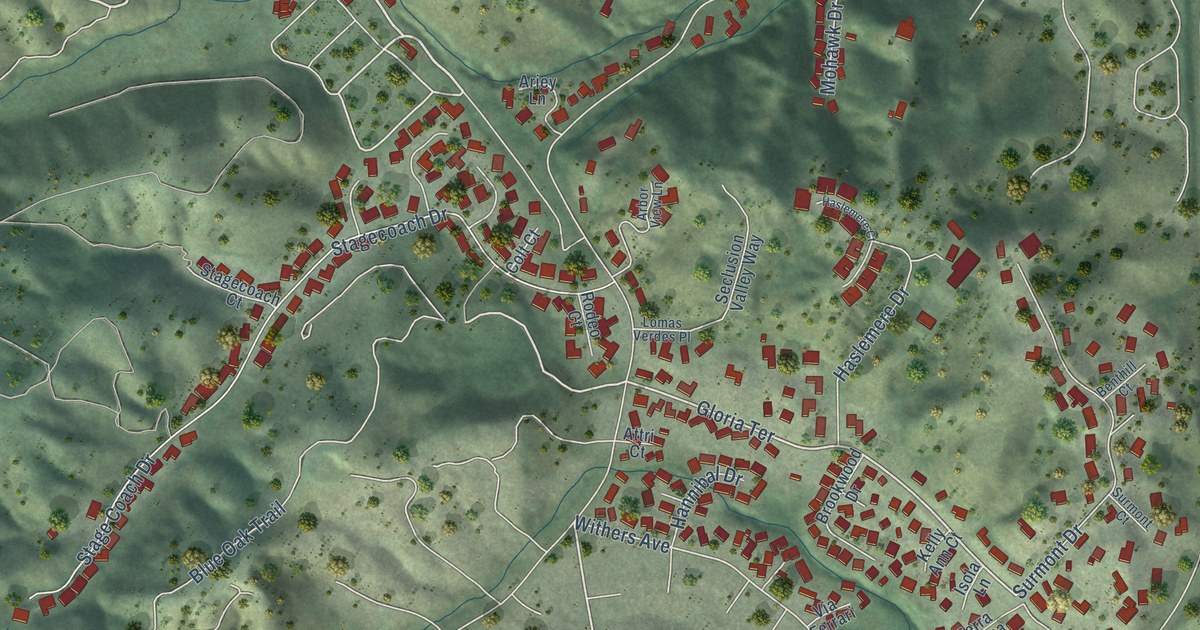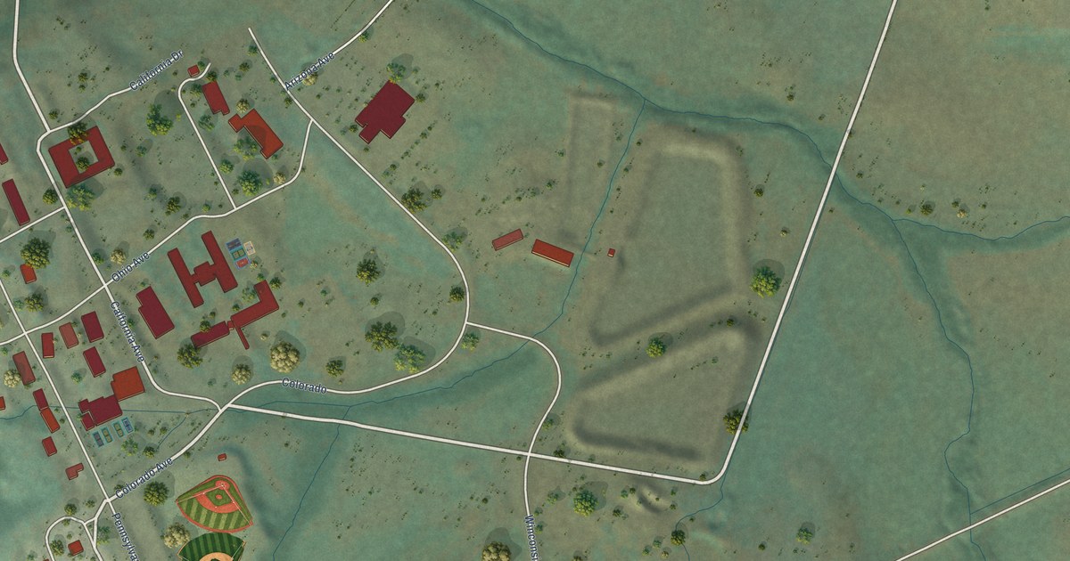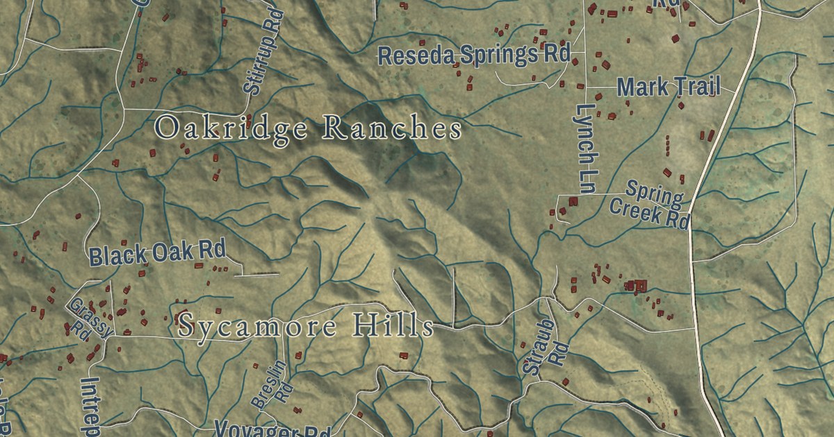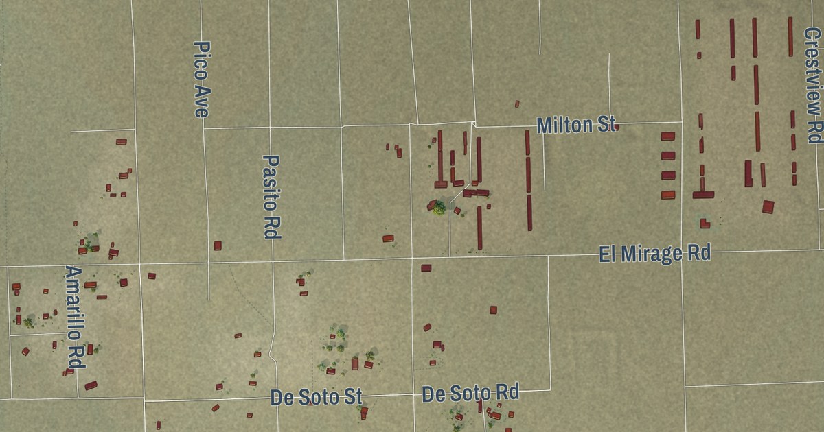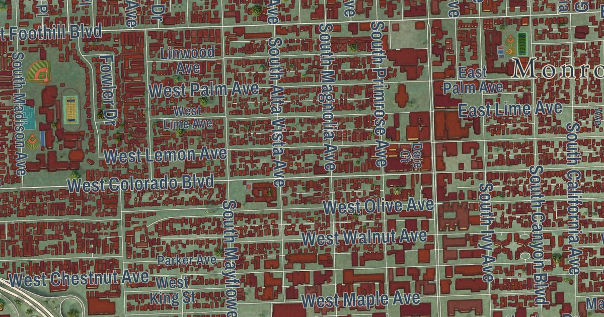
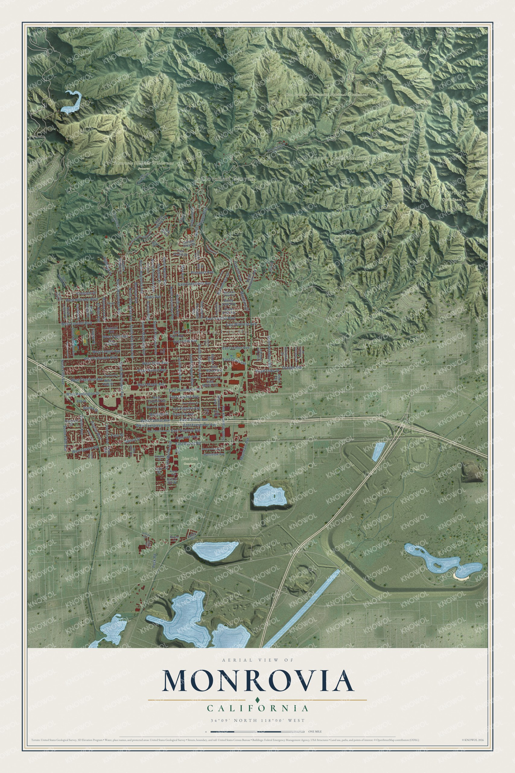
This beautifully detailed map of Monrovia, California was created in 2026 using aerial imagery combined with modern topographical, census, street and landmark data. It’s a one-of-a-kind view of Monrovia that combines accurate data with a vintage aesthetic. The map shows every building in its true location, many of the roads carry their names, and the shaded topographic relief shows the shape of the land.
Explore an aerial view of Monrovia, California
On the map you’ll find Monrovia City Hall, Angeles National Forest, Live Oak Cemetery, Monrovia Hillside Wilderness Preserve, San Gabriel Mountains National Monument, and Cloverleaf Canyon, along with West Huntington Drive, West Foothill Boulevard, South Fifth Avenue, East Foothill Boulevard, North Fifth Avenue, South Mountain Avenue, and more. If you look closely you can even find your house accurately drawn in its correct location. Zoom in on the preview to look for yours.
Did you know this piece of Monrovia, California history?
From the Los Angeles County History: "Mr. Lawton here made his first business venture by opening the first hotel at Monrovia; later he opened the first restaurant in the town."
Take a closer look at the Monrovia map
Street and place names on the Monrovia, California map
These names are printed on the map of Monrovia, California.
Places: Monrovia City Hall, Angeles National Forest, Live Oak Cemetery, Monrovia Open Space, Monrovia Hillside Wilderness Preserve, San Gabriel Mountains National Monument and Cloverleaf Canyon.
Streets and roads: East Huntington Drive, South Myrtle Avenue, West Huntington Drive, West Foothill Boulevard, West Colorado Boulevard, South Fifth Avenue, East Foothill Boulevard, North Fifth Avenue, East Central Avenue, West Central Avenue, North Canyon Boulevard, West Duarte Road.
More street names, A to Z
Acacia Avenue, Alamitas Avenue, Almond Avenue, Alta Street, Alta Vista Avenue, Bob Street, Bonita Street, Briarcliff Road, Canyon Crest Drive, Cloverleaf Drive, Court Street, Crescent Drive, Date Court, Diamond Street, Doray Circle, East Cherry Avenue, East Cypress Avenue, East Duarte Road, East El Sur Street, East Evergreen Avenue, East Fig Avenue, East Greystone Avenue, East Lemon Avenue, East Lime Avenue, East Maple Avenue, East Olive Avenue, East Palm Avenue, East Pomona Avenue, East Scenic Drive, East Walnut Avenue, East Wildrose Avenue, Eighth Avenue, El Nido Avenue, El Norte Street, Encino Avenue, Fano Street, Fig Avenue, Fig Lane, Fowler Drive, Garfield Place, Genoa Street, Gladys Avenue, Grand Avenue, Granite Avenue, Hacienda Drive, Heather Heights Court, Hidden Valley Avenue, Highland Place, Hill Street, Hurstview Avenue, Jasmine Avenue, Jeffries Avenue, Kruse Avenue, Linwood Avenue, Los Angeles Avenue, Lower Clamshell Tktl, Madeline Drive, Mauna Loa Drive, May Avenue, Melrose Avenue, Monrovia Canyon Truck Trail, Monrovista Avenue, Montana Street, Mountain Avenue, Mountain View Avenue, North Alta Vista Avenue, North Bradoaks Avenue, North Encinitas Avenue, North Hidden Valley Road, North Ivy Avenue, North Lincoln Place, North Magnolia Avenue, North Mayflower Avenue, North Myrtle Avenue, North Poppy Avenue, North Primrose Avenue, North Sunset Place, Norumbega Drive, Novice Lane, Oakcliff Avenue, Oak Grove, Oaks Avenue, Ocean View Avenue, Orange Avenue, Parker Avenue, Patterson Drive, Peck Road, Pilgrim Way, Poinsettia Avenue, Prospect Avenue, Railroad Avenue, Ridgeside Drive, Royal Oaks Drive, Sherman Avenue, Sierra Terrace, Sky Way, Sombrero Road, South Alta Vista Avenue, South Bradbury Road, South California Avenue, South Canyon Boulevard, South Ivy Avenue, South Lincoln Place, South Madison Avenue, South Magnolia Avenue, South Mayflower Avenue, South Park Rose Avenue, South Primrose Avenue, South Shamrock Avenue, Starlit Lane, Stedman Place, Tenth Avenue, Terrace View Drive, Terrado Drive, Valle Vista Avenue, Valley Circle, Valley View Avenue, Valmont Drive, Venice Avenue, Walker Avenue, West Cherry Avenue, West Chestnut Avenue, West Cypress Avenue, West Evergreen Avenue, West Hillcrest Boulevard, West King Street, West Lemon Avenue, West Lime Avenue, West Madison Avenue, West Maple Avenue, West Olive Avenue, West Palm Avenue, West Pomona Avenue, West Walnut Avenue.
See the Monrovia, California map on a wall
The Monrovia map as an 18 x 24 inch print in a black frame.

This beautifully detailed map of Monrovia makes an attractive addition to your office, library, or den, and it can even be used to teach children the geography and history of the area. It also makes a great gift for someone who left Monrovia and still calls it home. When you’re done exploring, click here to get your copy of the Monrovia map.