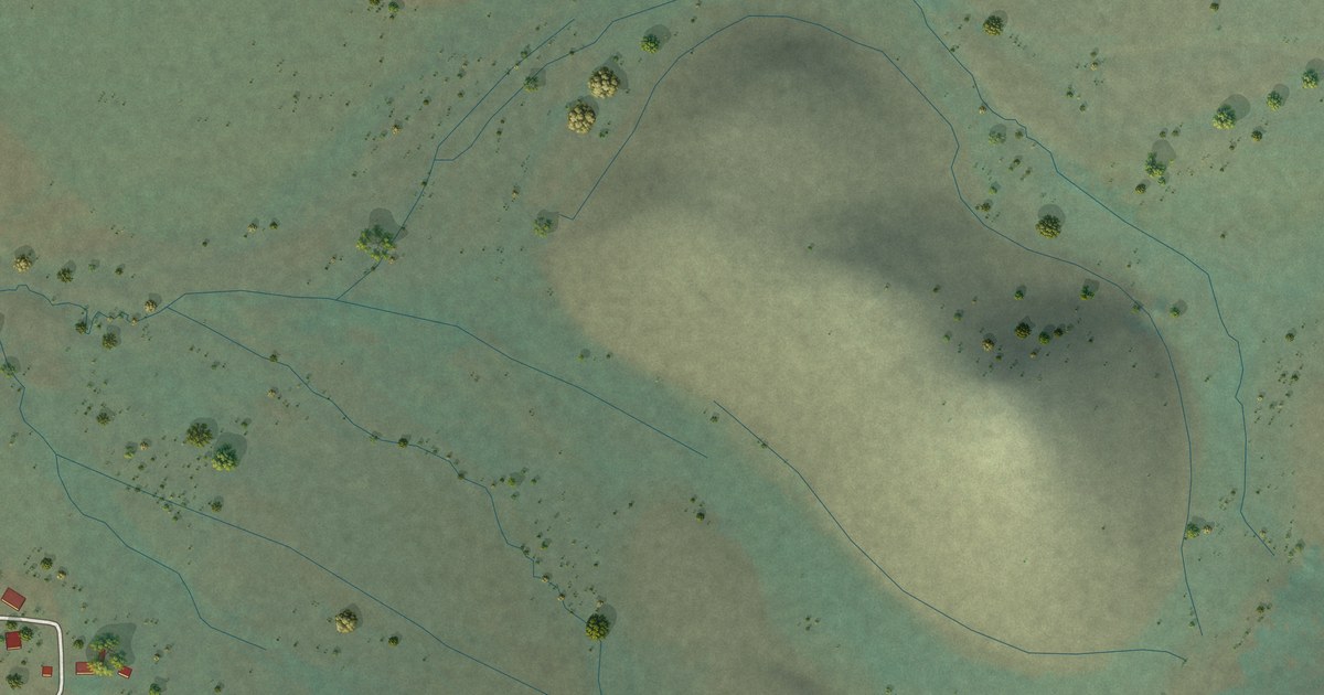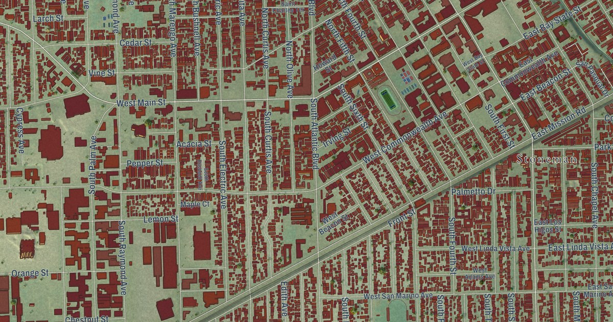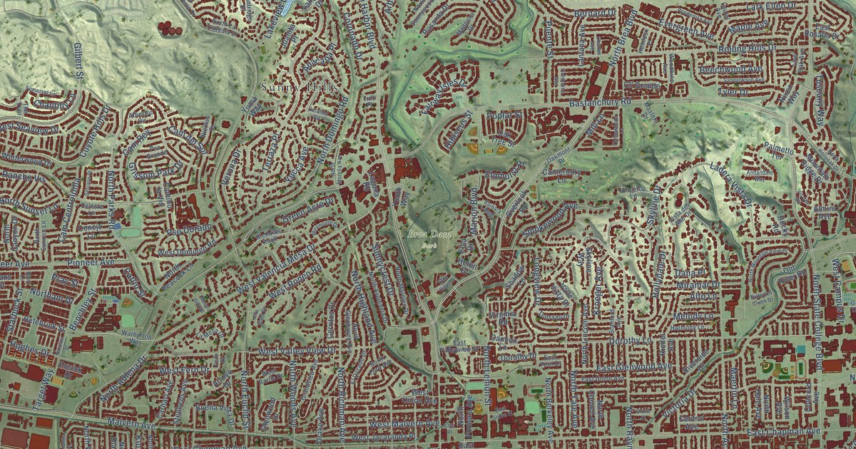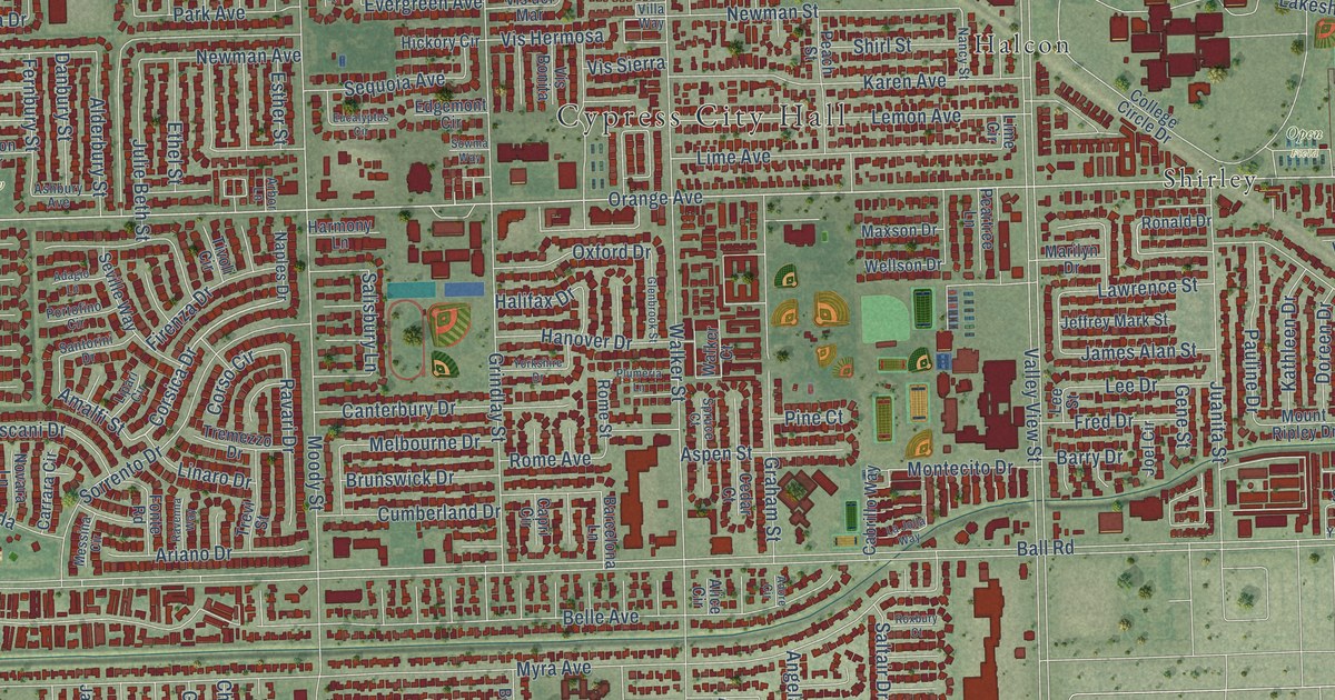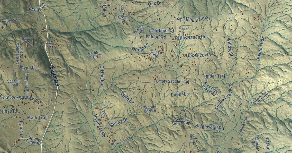
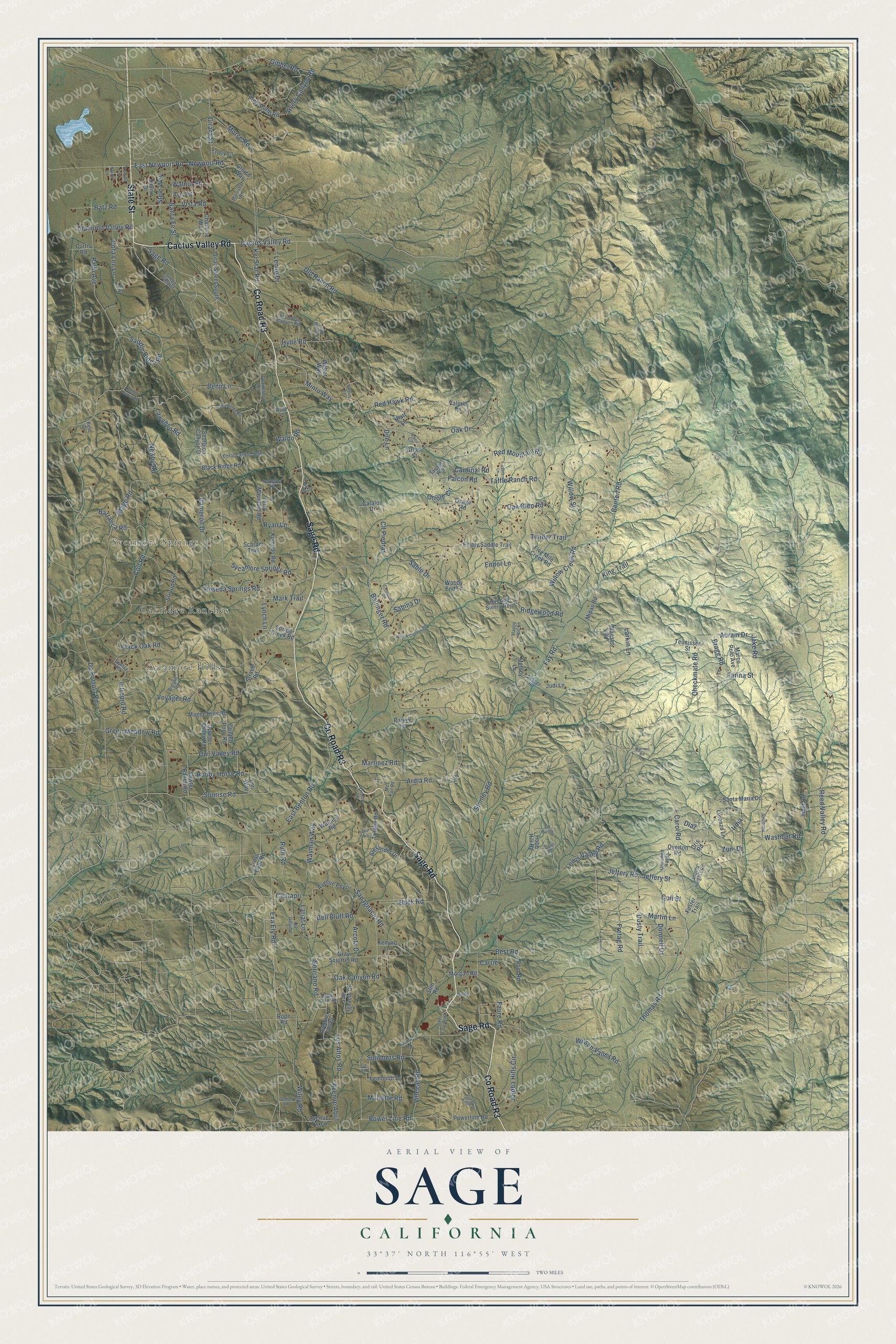
This beautifully detailed map of Sage, California was created in 2026 using aerial imagery combined with modern topographical, census, street and landmark data. It's a modern aerial view of Sage in Riverside County, California, that combines modern data with a vintage aesthetic. The roads feature printed names, and if you look closely you can find your exact house accurately shown in its correct location.
Explore an aerial view of Sage, California
On this map you'll find Sycamore Springs, Sycamore Hills, Oakridge Ranches, Cactus Valley Road, State Street, Sage Road, Co Road R3, Thomas Road, Dusty Trail, Jeffery Road, Gibbel Road, East Newport Road, and more. Each red shape is a building, so zoom in on the preview and look for yours.
Every town has a first chapter, and Sage is no exception. Beekeepers worked the country around Sage in Riverside County. In 1912 a freak rain dropped four inches on the neighborhood of Sage in May, and that fall the beekeepers there were enjoying a bountiful crop of late honey. That's from the Gleanings in Bee Culture magazine.
Sage is a community in Riverside County. The Census Bureau counted 3,370 people here in 2020.
Take a closer look at the Sage map
Names on this map
These names are printed on this map.
Places: Sycamore Springs, Sycamore Hills and Oakridge Ranches.
Streets and roads: Cactus Valley Road, State Street, Sage Road, County Road R3, Thomas Road, Dusty Trail, Jeffery Road, Gibbel Road, East Newport Road, Sable Drive, Lewis Valley Road, Willow Creek Road.
More street names, A to Z
Abram Drive, Alexander Drive, Arcola Drive, Ardia Road, Avenue Abril, Avenue Fiesta, Avenue Peyri, Avenue Sierra Rojo, Avenue Taxco, Avery Canyon Road, Avis Road, Ballinger Road, Barranca Road, Batz Road, Bell Bluff Road, Benji Lane, Bent Drive, Benton Road, Best Road, Black Oak Road, Black Ridge Road, Bohill Road, Bragg Road, Breslin Road, Buck Road, Cahuilla Heights Road, Cameron Drive, Cardinal Road, Carol Road, Carrie, Catalon Drive, Cedar Glen Road, Chameleon Road, Charlene Way, Checkmate Road, Chenopod Drive, Cll Burro, Cll Capri, Cll Gayube, Cll Piedras, Colt Road, Colt Street, Coral Canyon Way, Cora Lee Lane, Cris Road, Cross Over Road, Curtis Road, Debby Lane, Delise Drive, Denise Road, De Portola Road, Diamond Valley Road, Diaz, Doe Lane, Donnell Drive, East Benton Road, Eid Road, Emerald Lane, Empty Saddle Trail, Endor Lane, Exa Ely Road, Falcon Road, Farina Street, Faure Road, Fay Road, Five Mile Creek Road, Foster Trail, Fretag Road, Garnet Lane, Gary Road, Ginter, Girad Street South, Girard Street, Golden Eagle Drive, Grama Road, Grassy Road, Gray Squirrel Road, Green Canyon, Green Circle, Green Meadow Road, Green Street, Greico Way, Guillermo Lane, Happy Hill Lane, Hemet Ranch Road, Hiatt Lane, Hobby Horse Road, Hobo Hill Road, Hyde Road, Imler Road, Intrepid Road, Irma, Jake Road, Jeffery Street, Jojoba Hills Circle, Judi Lane, Kel Star Road, Kenyon Lane, King Trail, Komodo Road, Lariat Lane, Larkin Lane, Lawghlin Road, Lemboldt Drive, Lemm Drive, Lorenzo Lane, Lori Way, Los Altos Road, Louis Lane, Lynch Lane, Maeser Road, Magee Hills Road, Marco Polo Avenue, Mariette Road, Mark Trail, Marlissa Road, Martinez Road, Martin Lane, Martin Road, Mc Fall Road, Melody Lane, Minto Way, Mipas Road, Morgan Road, Morse Road, Newby Road, Newport Road, Northview Road, Oak Canyon Road, Oak Drive, Oak Glen Road, Old Hallow Lane, Old Ranch Road, Oriole Circle, Osage Road, Overton Road, Owl Valley Road, Painted Pony Road, Palm Avenue, Parker Lane, Pocket Canyon Road, Polly Butte Road, Power Line Road, Powerline Road, Quarter Valley Road, Red Hawk Road, Red Mountain Road, Reed Valley Road, Reseda Springs Road, Ridgewood Road, Root Road, Rope Road, Ruiz Court, Ruth Road, Ryan Lane, Sabina Drive, Saddle Ridge Road, San Ignacio Drive, San Ignacio Road, Santa Fe Street, Santa Maria Drive, Schram Trail, Scorpion Canyon Drive, Sel Gado Canyon Road, Serriano Road, Sidewinder Road, Skaggs Road, Slim Road, Spring Creek Road, Stage Road, Stanley Road, Stein Way, Stirrup Road, Straub Road, Summers Road, Sunrise Road, Sycamore Springs Road, Taffle Ranch Road, Tanager Way, Terry Mountain Road, Teunissen Street, Timber Trail, Tosal Road, Tracy Lane, Trifone Road, Unnamed Roads, Valerio Road, Varnum Road, Vawter Ranch Road, Villegas Road, Vista Road, Voyager Road, Wade Lane, Waldo Road, Wallace Road, Walnut Street, Washout Road, Wayman Way, Weber Way, Werner Road, Wiley Road, Willow Canyon Road, Willow Street, Wilson Valley Road, Woody End Lane, Zuni Drive.
See it on a wall
The Sage map as a framed print. Swipe for more.


Created by KNOWOL in 2026. The buildings are small red shapes, the roads carry their printed names, and shaded relief shows the shape of the land. The title panel reads "AERIAL VIEW OF SAGE, CALIFORNIA" with 33°37' NORTH 116°55' WEST.
Hang it in the hallway, the office or the cabin, or give it to someone who left Sage and still calls it home. Open the preview and look for a street you know. See sizes and frames for the Sage map.