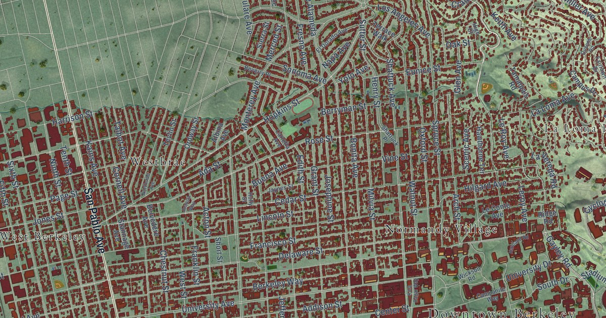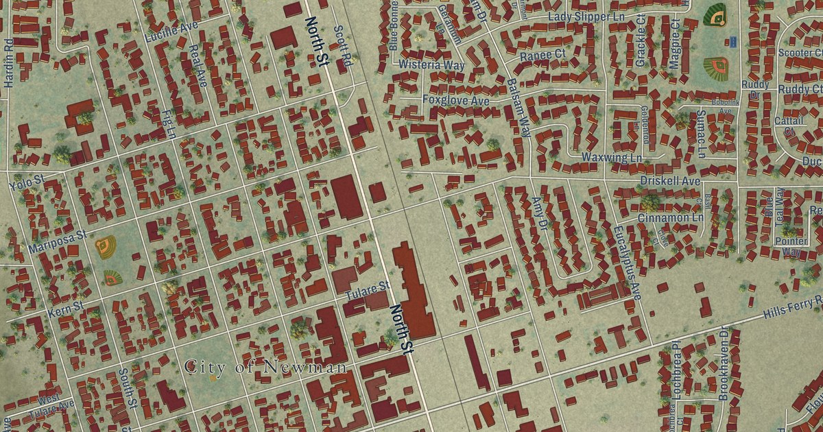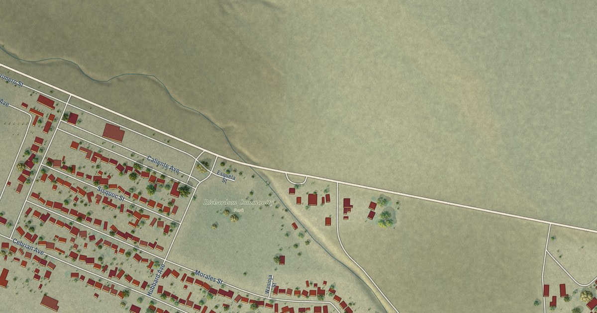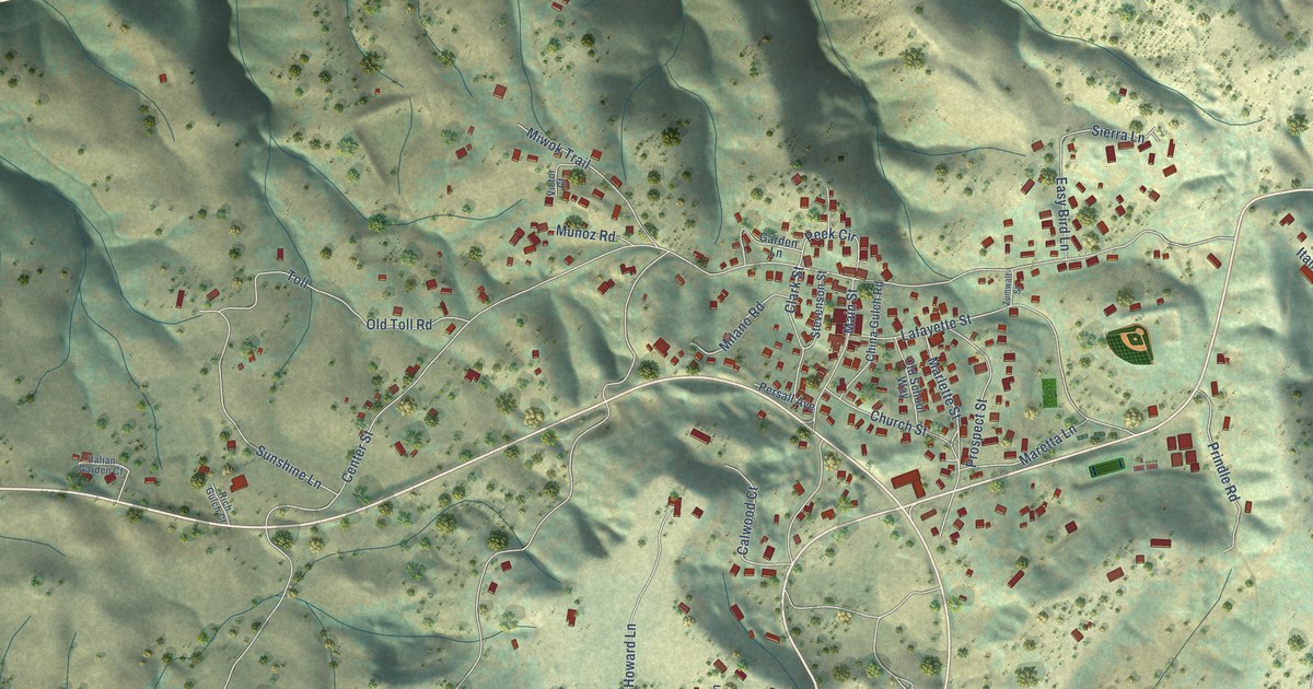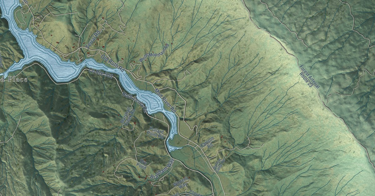
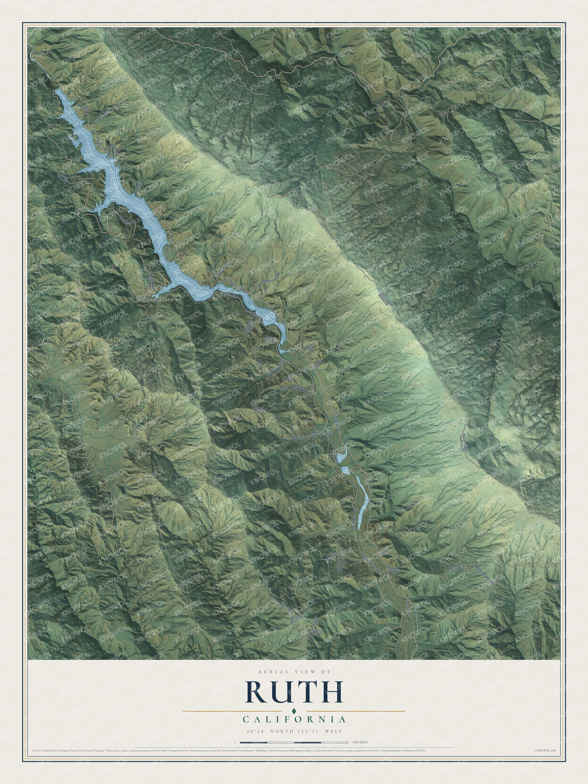
This beautifully detailed map of Ruth, California was created in 2026 using aerial imagery combined with modern topographical, census, street and landmark data. It's a modern aerial view of Ruth in Trinity County, California, that combines modern data with a vintage aesthetic. The roads feature printed names, and if you look closely you can find your exact house accurately shown in its correct location.
Explore an aerial view of Ruth, California
On this map you'll find Ueland Place, Lower Mad River Road, Mad River Road, Cedar Camp Road, Ruth Zenia Road, Upper River Road, Rodeo Drive, Terral Road, Branham Way, Old Ruth Road, 1S51, Ruth Dump Road, and more. Each red shape is a building, so zoom in on the preview and look for yours.
Here is a piece of Ruth history. The town of Ruth was named for Ruth McKnight, the granddaughter of John T. McKnight and his wife, who lived in the area. After the Humboldt Bay Municipal Water District built a dam on the Mad River and Ruth Lake filled by 1962, Ruth School was rebuilt on a new site about two miles south of town. In 1906 a new teacher headed for the school lost his way, spent the night in the woods, and reached Ruth a day later, just in time to open the spring term. That's from the Trinity County Office of Education.
Ruth is a community in Trinity County. The Census Bureau counted 254 people here in 2020.
Take a closer look at the Ruth map
Names on this map
These names are printed on this map.
Places: Ueland Place.
Streets and roads: Lower Mad River Road, Mad River Road, Cedar Camp Road, Ruth Zenia Road, County Route 502, County Route 504, Upper River Road, Rodeo Drive, Terral Road, Branham Way, Old Ruth Road, Ruth Dump Road.
More street names, A to Z
Barlow Camp Road, Browns Camp, Buckwheat Lane, Carlson Road, Clover Gulch, Clover Gulch Road, Deer Cv, Dry Pond, Forest Arterial Route 23, Forest Route 2513, Forest Route 2539, Forest Route 3553, Holly Road, Horse Ridge Lookout Road, Lakeview Drive, Lower West Side Road, Marshall Creek Road, Marshall Rock Road, Old Cedar Gap Road, Park Place, Pollard Point Road, Seven Oaks Lane, Souza Road, Tompkins Creek Road, West Bank Road, West Side Road, White Mountain Road, Winters Way.
See it on a wall
The Ruth map as a framed print. Swipe for more.


Created by KNOWOL in 2026. The buildings are small red shapes, the roads carry their printed names, and shaded relief shows the shape of the land. The title panel reads "AERIAL VIEW OF RUTH, CALIFORNIA" with 40°18' NORTH 123°21' WEST.
It suits a den, a classroom or a front hall, and it makes a gift for anyone with Ruth roots. Open the preview and find the block you know. See sizes and frames for the Ruth map.