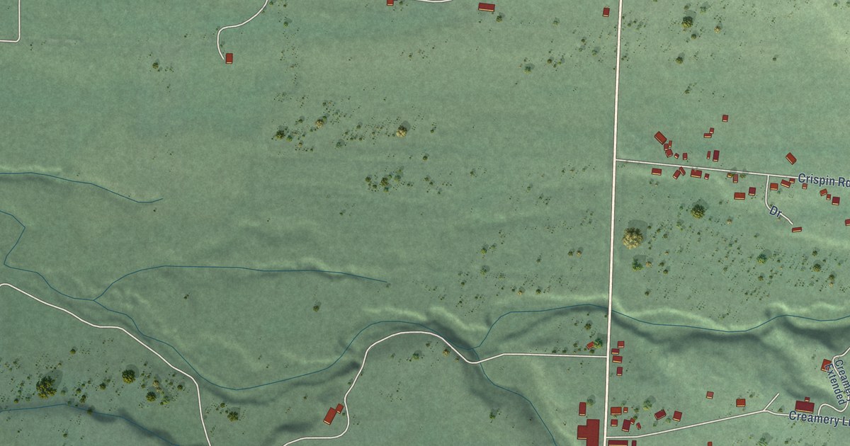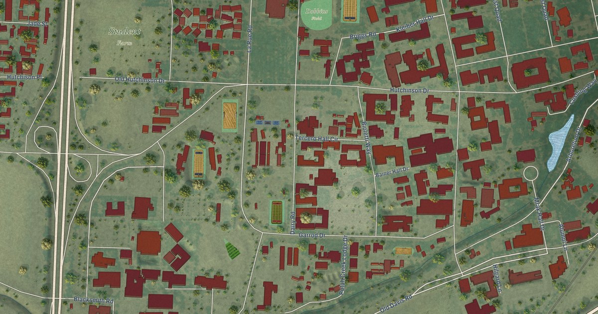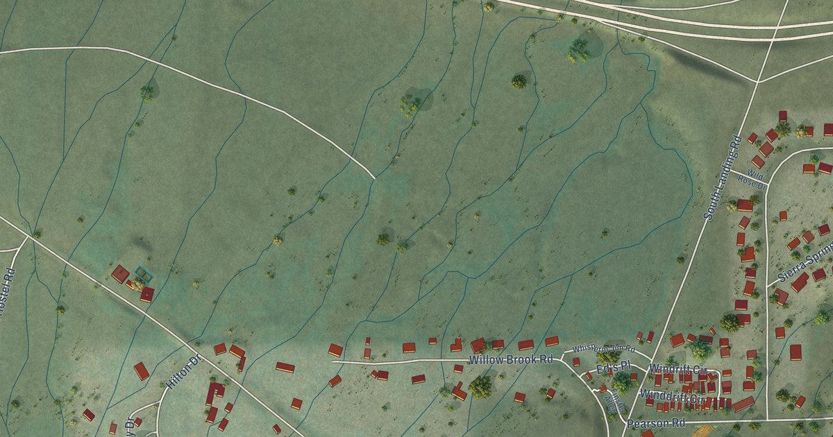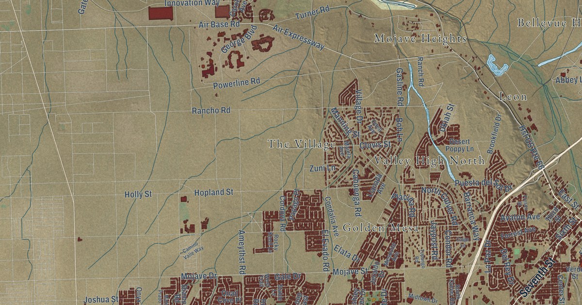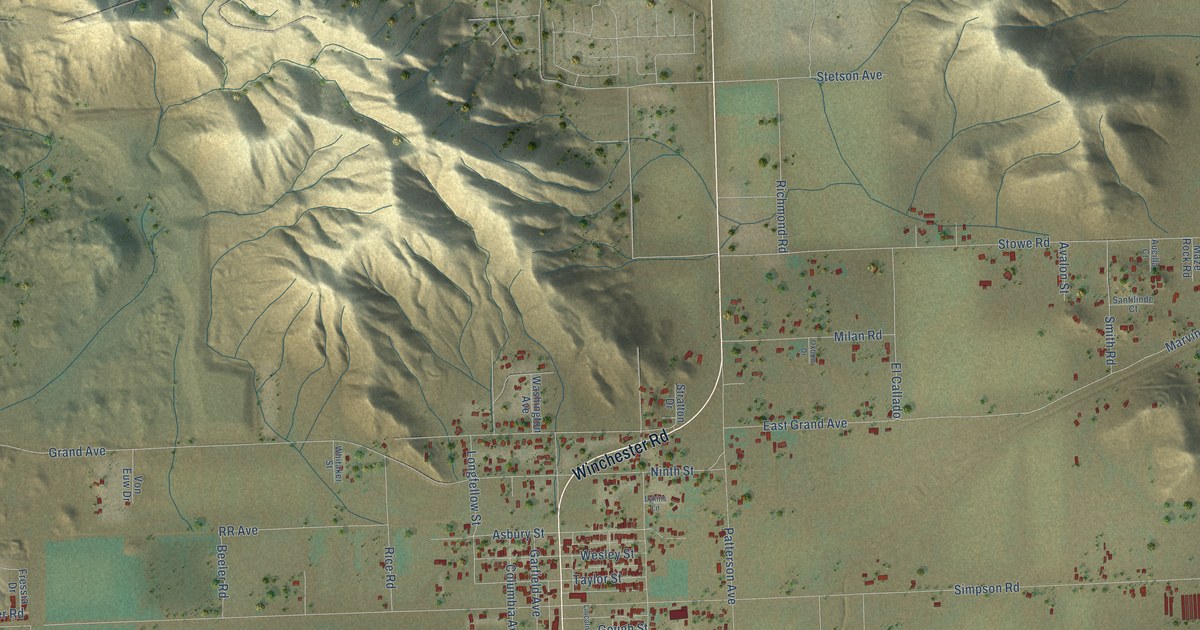
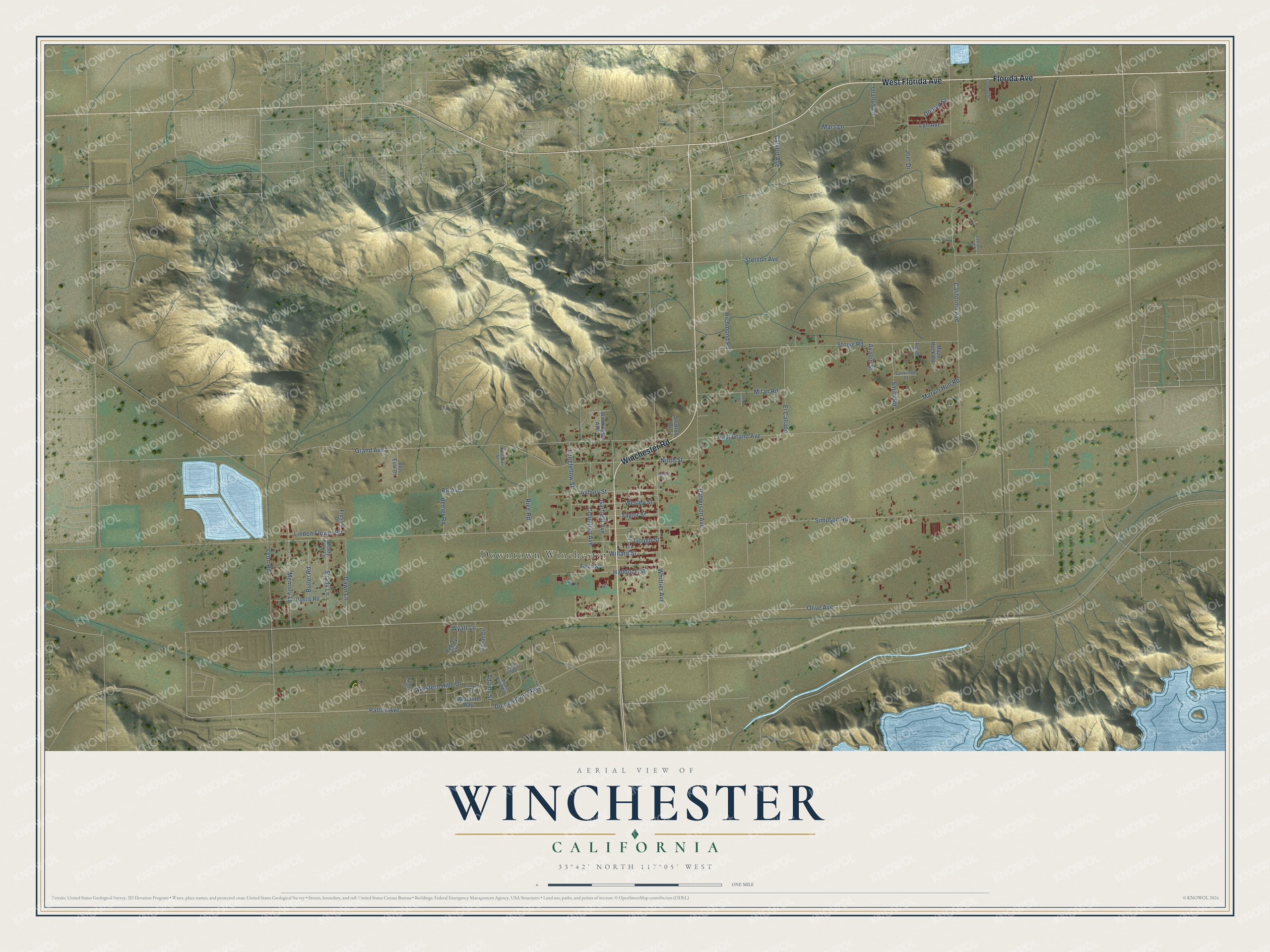
This beautifully detailed map of Winchester, California was created in 2026 using aerial imagery combined with modern topographical, census, street and landmark data. It's a modern aerial view of Winchester in Riverside County, California, that combines modern data with a vintage aesthetic. The roads feature printed names, and if you look closely you can find your exact house accurately shown in its correct location.
Explore an aerial view of Winchester, California
On this map you'll find Downtown Winchester, West Florida Avenue, Winchester Road, Florida Avenue, Patton Avenue, Olive Avenue, Wyatt Lane, Simpson Road, California Avenue, Grand Avenue, Stowe Road, Leon Road, and more. Each red shape is a building, so zoom in on the preview and look for yours.
Every town has a first chapter, and Winchester is no exception. Winchester took its place on the map in Southern California's land boom. When the San Jacinto and Pleasant Valley Irrigation District collapsed, business dwindled to a single crossroads store, and for years only a whistling post and a post office were left. Then someone dug for water and found an underground reservoir a few feet down. Pumps soon drew great quantities of water from it, and the once thirsty land was heavy with alfalfa, corn, grain and fruit. That's from the 1912 History of Riverside County.
Winchester is a community in Riverside County. The Census Bureau counted 3,068 people here in 2020.
Take a closer look at the Winchester map
Names on this map
These names are printed on this map.
Places: Downtown Winchester.
Streets and roads: West Florida Avenue, Winchester Road, Florida Avenue, Patton Avenue, Olive Avenue, Wyatt Lane, Simpson Road, California Avenue, Grand Avenue, Stowe Road, Leon Road, Patterson Avenue.
More street names, A to Z
Adams Street, Asbury Street, Aubrey Circle, Aucilla Court, Avalon Street, Beeler Road, Butler Road, Byerly Road, Calvert Avenue, Columbia Avenue, Cordoba Drive, Crooked Trail, Dallas Circle, Dawn Lane, Domenigoni Parkway, Donald Street, East Grand Avenue, El Callado, Finch Street, Fressia Drive, Garfield Avenue, Gough Street, Haddock Street, Joel Drive, Kenita Court, Lawrence Court, Lincoln Avenue, Linden Flower Road, Longfellow Street, Lykins Lane, Lyn Avenue, Mars Lane, Marvin Hull Road, Maze Rock Road, Memory Lane, Mesquite Way, Milan Road, Ninth Street, Oxbow Drive, Rice Road, Richmond Road, RR Avenue, Santilinde Court, Shady Lane, Shady Tree Lane, Smith Road, Stetson Avenue, Stratton Drive, Taylor Street, Tyron Smith Court, Uranus Lane, Von Euw Drive, Washington Avenue, Wesley Street, Western Hills Drive, Whitaker Street, Whittier Avenue, Willard Street, Wyatt Earp Way.
See it on a wall
The Winchester map as a framed print. Swipe for more.


Created by KNOWOL in 2026. The buildings are small red shapes, the roads carry their printed names, and shaded relief shows the shape of the land. The title panel reads "AERIAL VIEW OF WINCHESTER, CALIFORNIA" with 33°42' NORTH 117°05' WEST.
Hang it in the hallway, the office or the cabin, or give it to someone who left Winchester and still calls it home. Open the preview and look for a street you know. See sizes and frames for the Winchester map.