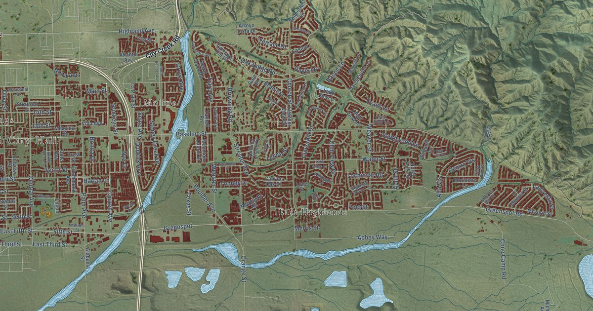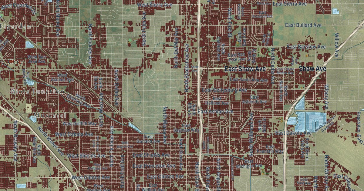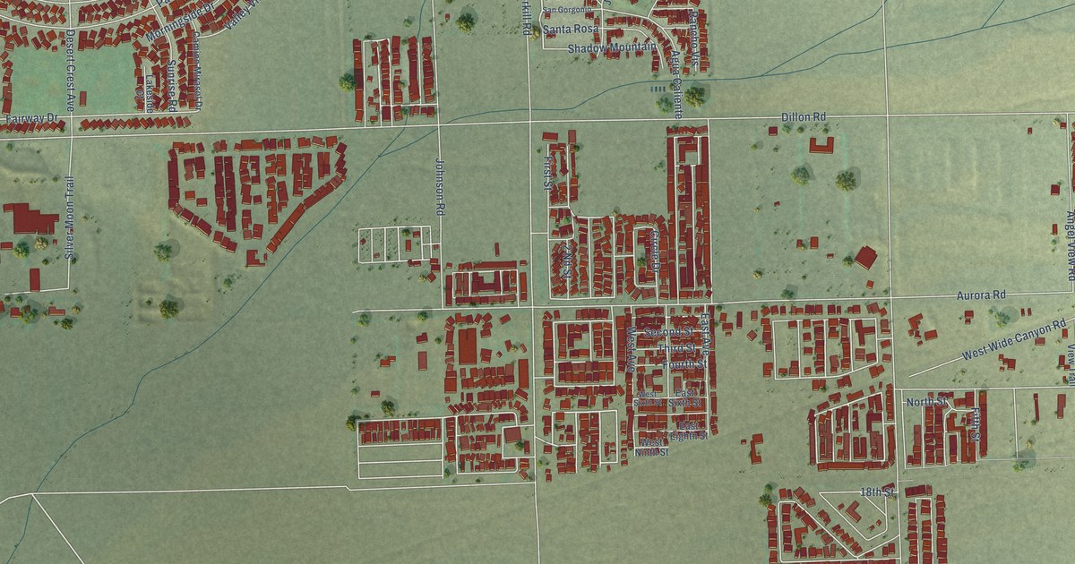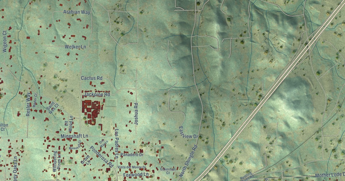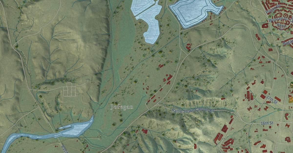
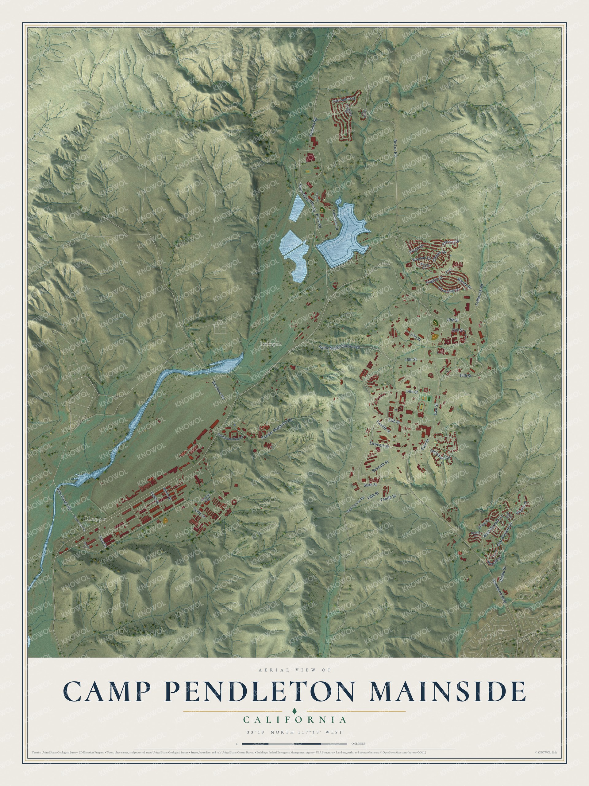
This beautifully detailed map of Camp Pendleton Mainside, California was created in 2026 using aerial imagery combined with modern topographical, census, street and landmark data. It's a modern aerial view of Camp Pendleton Mainside in San Diego County, California, that combines modern data with a vintage aesthetic. The roads feature printed names, and if you look closely you can find your exact house accurately shown in its correct location.
Explore an aerial view of Camp Pendleton Mainside, California
On this map you'll find Chappo, Jofegan, 19th Street, 15th Street, 16th Street, East Barnett Circle, Eleventh Street, Wonsan Drive, East Street, De Luz Road, Chrisman Circle, Rifle Range Road, and more. Each red shape is a building, so zoom in on the preview and look for yours.
Camp Pendleton Mainside has a story worth telling. The Santa Margarita Ranch House has been the center of ranch life and then Marine Corps base life. It was the home of Pio Pico, the last governor of Mexican California, then of Don Juan Forster, the O'Neills, the Floods and the Baumgartners, and finally the families of 35 Marine Corps generals. That's from the Camp Pendleton Historical Society.
Camp Pendleton Mainside is a community in San Diego County. The Census Bureau counted 9,683 people here in 2020.
Take a closer look at the Camp Pendleton Mainside map
Names on this map
These names are printed on this map.
Places: Chappo and Jofegan.
Streets and roads: 19th Street, 15th Street, 16th Street, East Barnett Circle, Eleventh Street, Wonsan Drive, East Street, De Luz Road, Chrisman Circle, Rifle Range Road, Rattle Snake Canyon Road, Vandegrift Boulevard.
More street names, A to Z
13th Street, 14th Street, 17th Street, 18th Street, Administration Road, Angeles Street, Avenue East, Basilone Road, Biddle Street, Chosin Circle, Chunchon Drive, Eighth Street, Elliott Street, Fallbrook Road, Ferrari Court, Fifth Street, Forrestal Drive, Fourth Street, Fuller Street, Golf Course Road, Hagaru Street, Harris Street, Knox Road, Lakeside Drive, Los Padres Drive, Marine Drive, Neville Circle, Ninth Street, Pohang Drive, Powder Magazine Road, Pusan Drive, Russell Street, Santa Margarita Road, School Street, Second Street, Sequoia Road, Seventh Street, Sixth Street, Stagecoach Road, Tenth Street, Third Street, Twelfth Street, West Barnett Circle, Wharton Street, Wonju Circle.
Created by KNOWOL in 2026. The buildings are small red shapes, the roads carry their printed names, and shaded relief shows the shape of the land. The title panel reads "AERIAL VIEW OF CAMP PENDLETON MAINSIDE, CALIFORNIA" with 33°19' NORTH 117°19' WEST.
It looks right in a kitchen, an office or a den, and it's a gift for anyone who grew up in Camp Pendleton Mainside or moved away. Open the preview and find your street. See sizes and frames for the Camp Pendleton Mainside map.