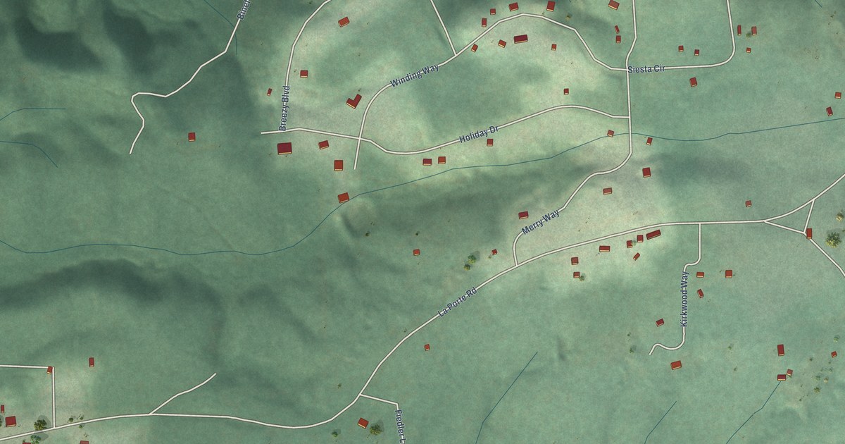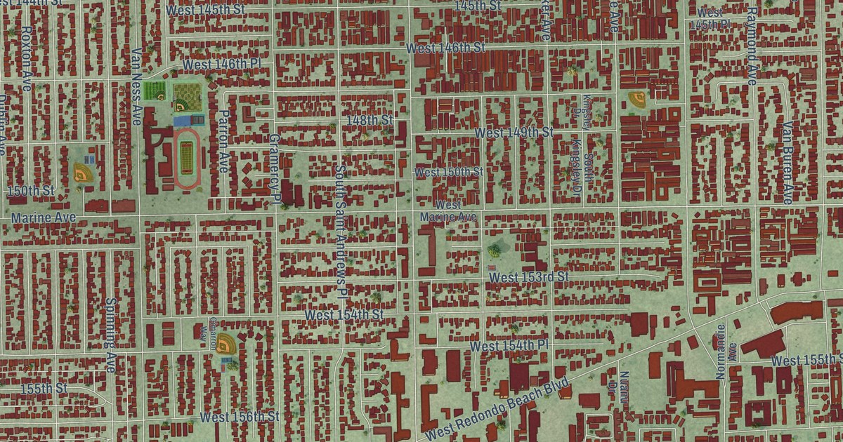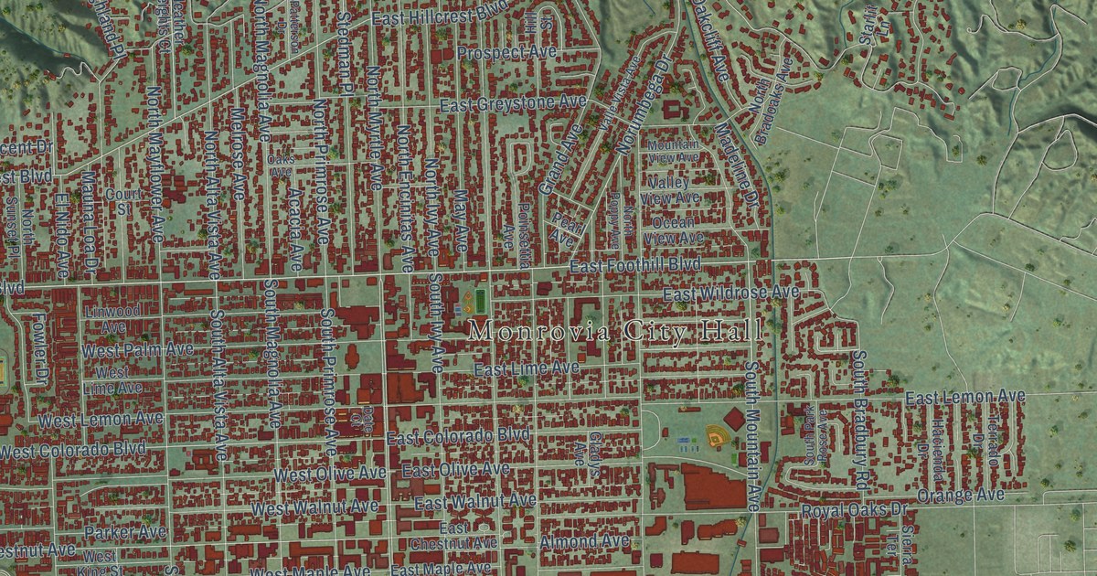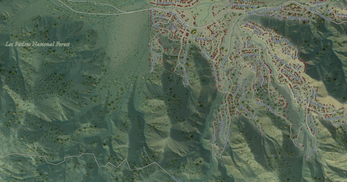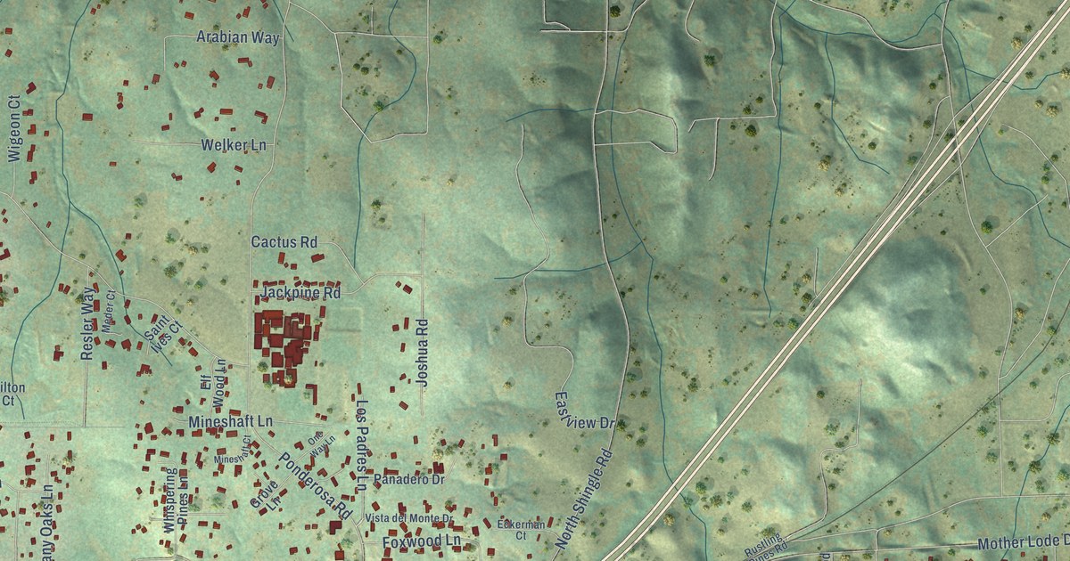
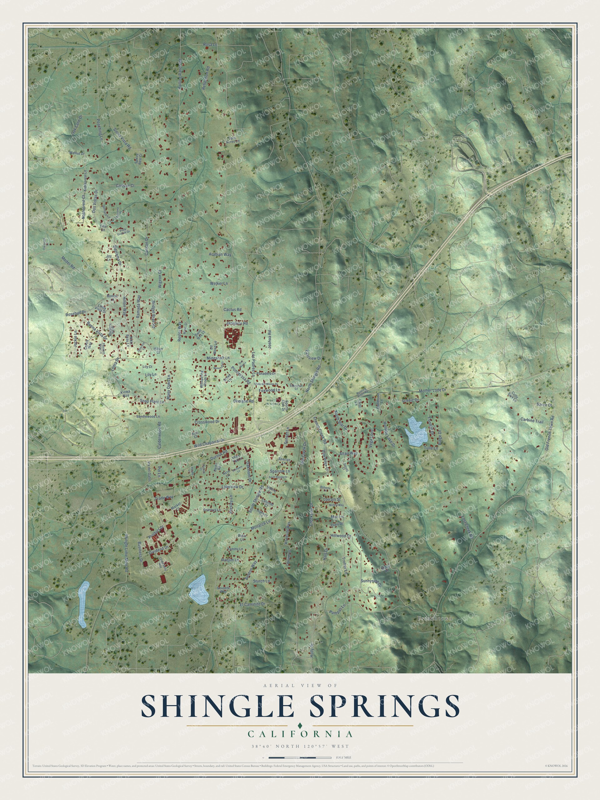
This beautifully detailed map of Shingle Springs, California was created in 2026 using aerial imagery combined with modern topographical, census, street and landmark data. It's a modern aerial view of Shingle Springs in El Dorado County, California, that combines modern data with a vintage aesthetic. The roads feature printed names, and if you look closely you can find your exact house accurately shown in its correct location.
Explore an aerial view of Shingle Springs, California
On this map you'll find Frenchtown, Dos Vistas Drive, Ponderosa Road, Old French Town Road, Mother Lode Drive, French Creek Road, Carlson Drive, Meder Road, South Shingle Road, Creekside Drive, Holly Drive, Business Drive, and more. Each red shape is a building, so zoom in on the preview and look for yours.
Here is a piece of Shingle Springs history. Shingle Springs took its name from a shingle machine that a man named Scott ran there. In El Dorado County, lumbering came even before gold mining, and the town's name is a reminder of it. That's from the Grizzly Bear magazine.
Shingle Springs is a community in El Dorado County. The Census Bureau counted 4,660 people here in 2020.
Take a closer look at the Shingle Springs map
Names on this map
These names are printed on this map.
Places: Frenchtown.
Streets and roads: Dos Vistas Drive, Ponderosa Road, Old French Town Road, Mother Lode Drive, French Creek Road, Carlson Drive, Meder Road, South Shingle Road, Creekside Drive, Holly Drive, Business Drive, Durock Road.
More street names, A to Z
Acre Lane, Altair Way, Arabian Way, Barex Court, Benton Way, Blueberry Hill Drive, Bonner Lane, Bridget Brae Road, Buena Vista Drive, Cactus Road, Calderwood Road, Calumet Court, Carbine Trail, Carlson Court, Carol Lane, Carousel Lane, Cercis Way, Childhood Lane, Clare Drive, Commodity Way, Cousins Court, Crosswood Drive, Cutty Sark Lane, Deelane Road, Dividend Drive, Durock Court, Eastview Drive, Eckerman Court, El Caminito Drive, Elf Wood Lane, Foothill Drive, Foxwood Lane, Galaxy Court, Gouveia Way, Grannys Lane, Grove Lane, Hart Drive, Haven Lane, Heinz Road, Highbury Lane, Hillwood Drive, Hilton Court, Hilton Way, Holiday Lake Drive, Idle Creek Drive, Jackie Lane, Jackpine Road, Joshua Road, Joy Lane, Kiowa Way, Kori Court, Lakeview Drive, Lily Court, Lily Lane, Linda Vista Drive, Loma Drive, Lorrain Street, Los Padres Lane, Lost Creek Road, Mac Lane, Many Oaks Lane, Market Court, Meder Court, Mineshaft Court, Mineshaft Lane, Mithril Way, Monarch Lane, Nikki Beau Lane, Noblecrest Court, Noblecrest Lane, North Shingle Road, North Star Drive, Oak Lane Drive, Oakmont Drive, One Way Lane, Palm Lane, Pampas Lane, Panadero Drive, Pine Ridge Court, Pin Lane, Pleasant View Lane, Poaching Lane, Pony Tail Lane, Presley Lane, Product Drive, Raejim Lane, Ramada Way, Reflection Road, Resler Way, Ridge Drive, Roberta Lane, Rolling Ranch Road, Rosa Lane, Rosebud Drive, Rustling Pines Road, Saint Ives Court, Sandlewood Lane, Scenic Drive, Shingle Lime Mine Road, Sierrama Court, Sierrama Drive, Sierra Vista Road, Soap Plant Lane, Sottile Lane, South Shingle Court, Sparrow Lane, Spartan Lane, Spearmint Lane, Spin Acres Lane, Spirits Rest Court, Sports Club Drive, Steep Road, Sturch Lane, Sunfaire Lane, Sunflower Lane, Sunnyside Drive, Sunset Lane, Tammy Lane, Tika Lane, Trade Way, Trotter Lane, Tulle Lane, Vega Loop, Via del Gatos, Vista del Monte Drive, Vista Grande Drive, Walnut Drive, Welker Lane, Whispering Pines Lane, Wigeon Court, Wild Chaparral Drive, Woodside Way.
See it on a wall
The Shingle Springs map as a framed print. Swipe for more.


Created by KNOWOL in 2026. The buildings are small red shapes, the roads carry their printed names, and shaded relief shows the shape of the land. The title panel reads "AERIAL VIEW OF SHINGLE SPRINGS, CALIFORNIA" with 38°40' NORTH 120°57' WEST.
It suits a den, a classroom or a front hall, and it makes a gift for anyone with Shingle Springs roots. Open the preview and find the block you know. See sizes and frames for the Shingle Springs map.