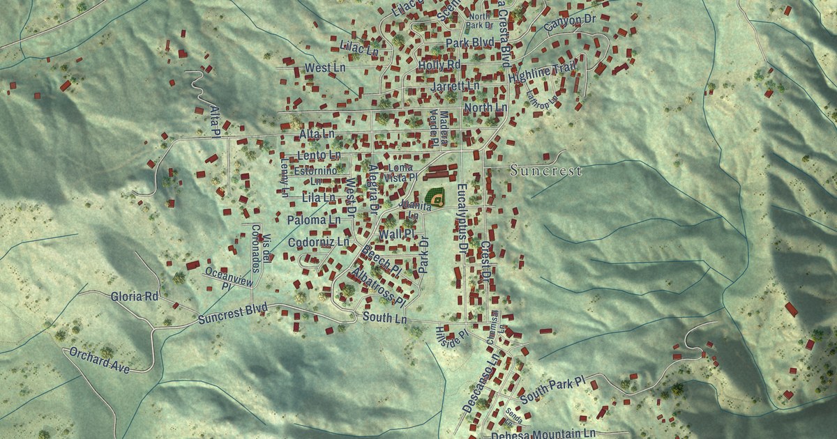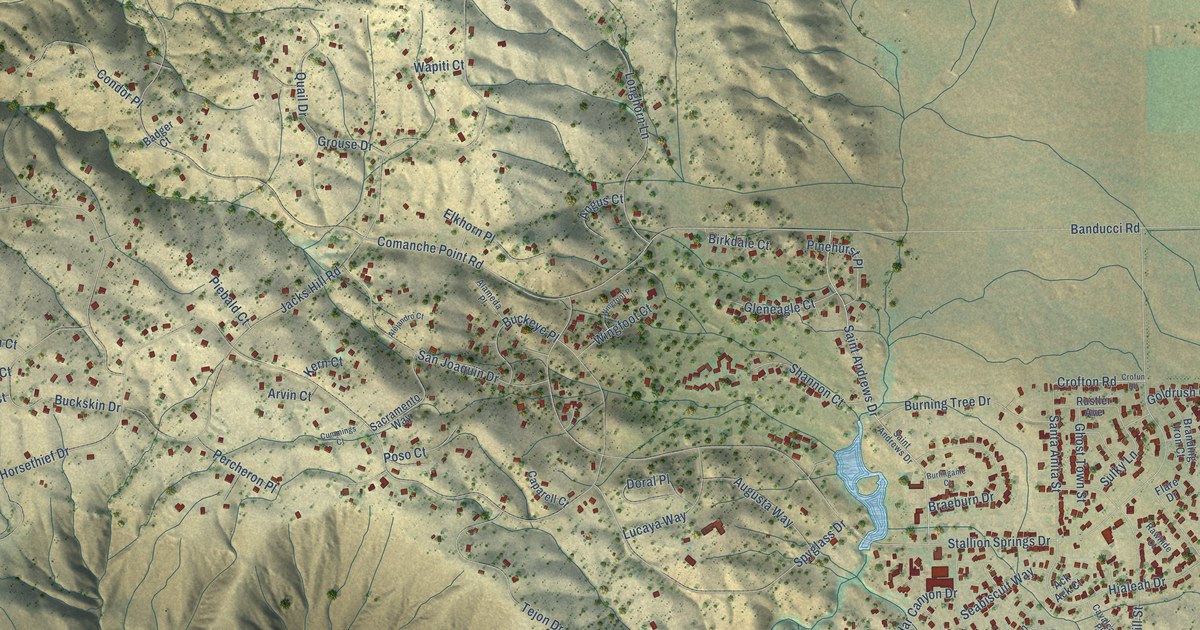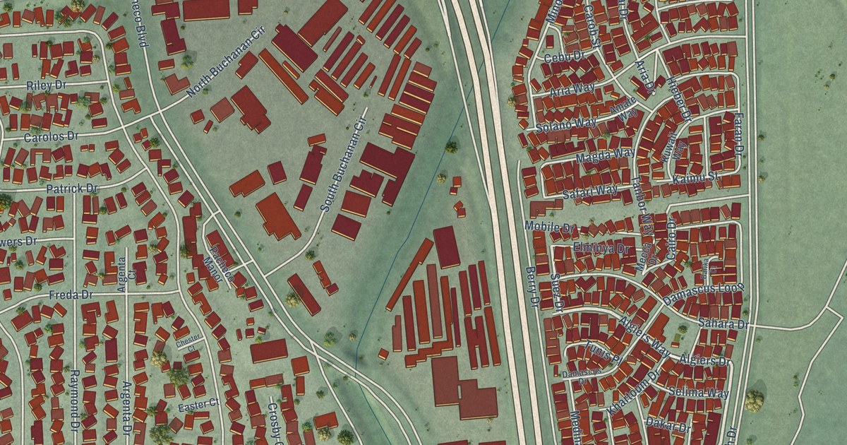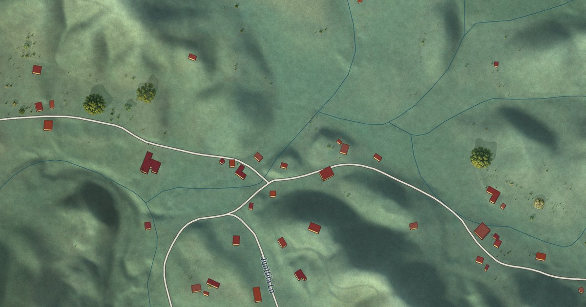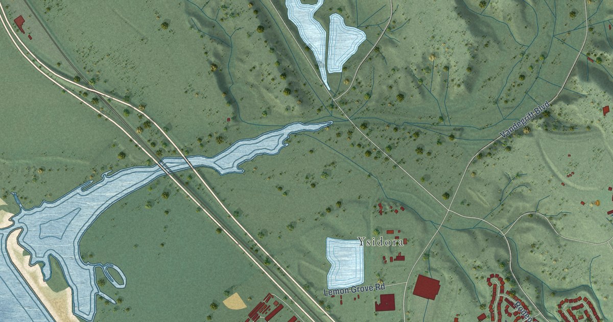
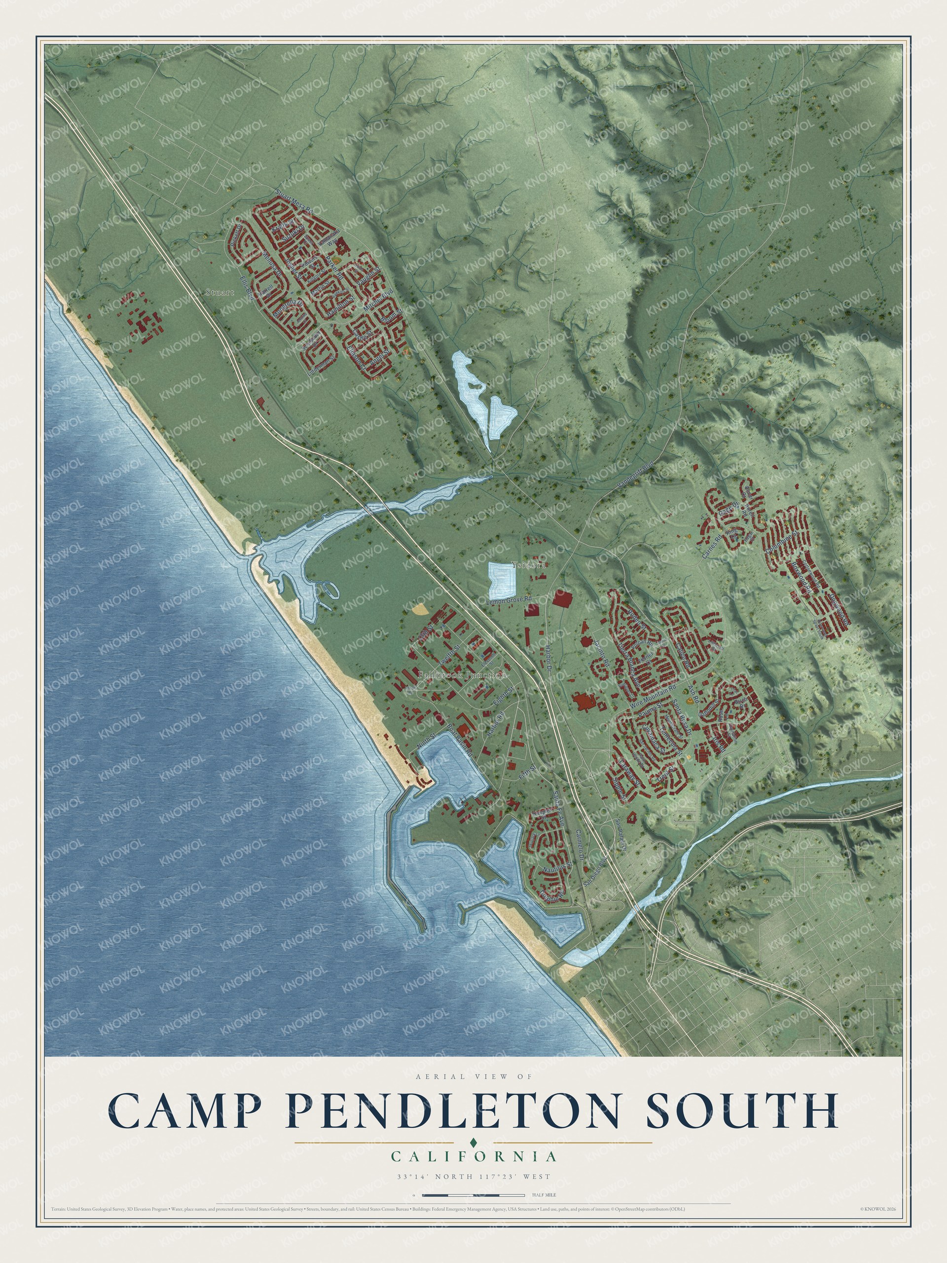
This beautifully detailed map of Camp Pendleton South, California was created in 2026 using aerial imagery combined with modern topographical, census, street and landmark data. It's a modern aerial view of Camp Pendleton South in San Diego County, California, that combines modern data with a vintage aesthetic. The roads feature printed names, and if you look closely you can find your exact house accurately shown in its correct location.
Explore an aerial view of Camp Pendleton South, California
On this map you'll find Stuart, Fallbrook Junction, Ysidora, Harbor Road, Santa Fe Avenue, Ash Road, Harbor Drive, Eighth Street, 13th Street, Ninth Street, Vandegrift Boulevard, Wire Mountain Road, and more. Each red shape is a building, so zoom in on the preview and look for yours.
Every town has a first chapter, and Camp Pendleton South is no exception. Camp Pendleton was named for Maj. Gen. Joseph H. Pendleton, who had long pushed for a West Coast training base for the Marines. President Franklin D. Roosevelt came for the official dedication on September 25, 1942, and Mrs. Joseph H. Pendleton took part in the ceremony. Building began in March 1942, and the 9th Marine Regiment marched up from Camp Elliott in San Diego to become the first troops on the new base. That's from the California State Military Museum.
Camp Pendleton South is a community in San Diego County. The Census Bureau counted 12,468 people here in 2020.
Take a closer look at the Camp Pendleton South map
Names on this map
These names are printed on this map.
Places: Stuart, Fallbrook Junction and Ysidora.
Streets and roads: Harbor Road, Santa Fe Avenue, Ash Road, Harbor Drive, Eighth Street, 13th Street, Ninth Street, Vandegrift Boulevard, Wire Mountain Road, Stuart Mesa Road, Carnes Road, Parker Road.
More street names, A to Z
Abner Court, Abrell Road, Alderwood Street South, Angel Street, Birch Drive, Bloom Street, Boat Basin Road, Boxwood Road, Calico Road, Carmelo Drive, Carnation Street, Castle Street, Columbine Street, Cottonwood Road, Cuyamaca Street, Daffodill Street, Dogwood Road, Dolphin Road, Edgar Court, Eleventh Street, Eliason Court, Ellis Boulevard, Ferrier Court, Fifth Street, Gage Drive, Hamilton Street, Harrell Drive, Hawkins Street, Imhoff Road, Iris Road, Jacinto Road, Jamul Drive, Jenkins Court, Joyner Street, Killgore Street, King Court, Koepler Street, Kralik Street, Laraway Street, Lemon Grove Road, Lilac Lane, Linderman Street, Littleton Court, Martin Street, Menusa Drive, Mitchel Boulevard, Mongrella Drive, Monserrate Street, Nautilus Street, Palo Verde Drive, Pauma Street, Pickett Drive, Powers Street, Quinn Street, Rodeo Street, Rodrigues Court, Rose Lane, San Diego Boulevard, San Jacinto Road, San Rafael Drive, Santa Rosa Drive, Schroeder Drive, Sipple Street, Skipjack Lane, Speer Court, Suzuki Drive, Temecula Street, Tierra Blanca Avenue, Trent Street, Twelfth Street, Vaughn Street, Volcan Road, Yamanaka Way.
See it on a wall
The Camp Pendleton South map as a framed print. Swipe for more.


Created by KNOWOL in 2026. The buildings are small red shapes, the roads carry their printed names, and shaded relief shows the shape of the land. The title panel reads "AERIAL VIEW OF CAMP PENDLETON SOUTH, CALIFORNIA" with 33°14' NORTH 117°23' WEST.
Hang it in the hallway, the office or the cabin, or give it to someone who left Camp Pendleton South and still calls it home. Open the preview and look for a street you know. See sizes and frames for the Camp Pendleton South map.