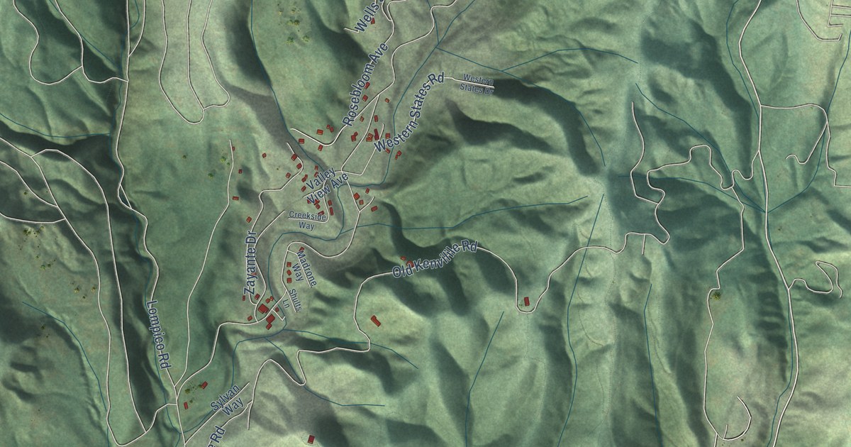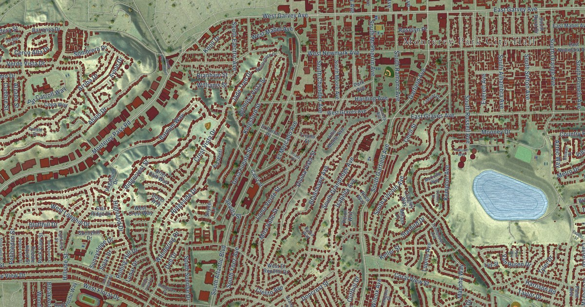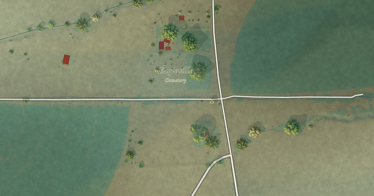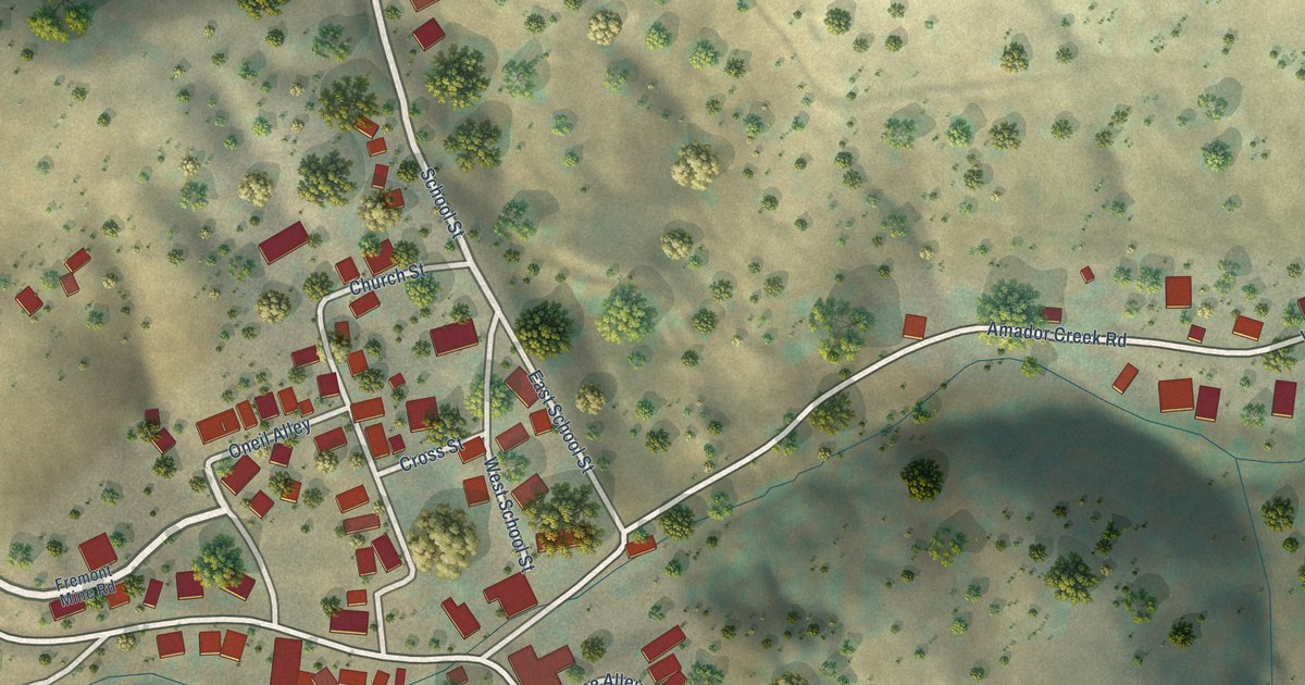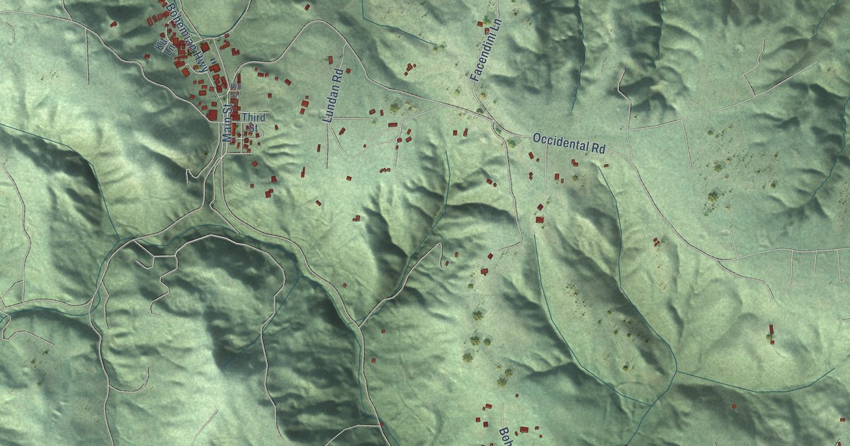
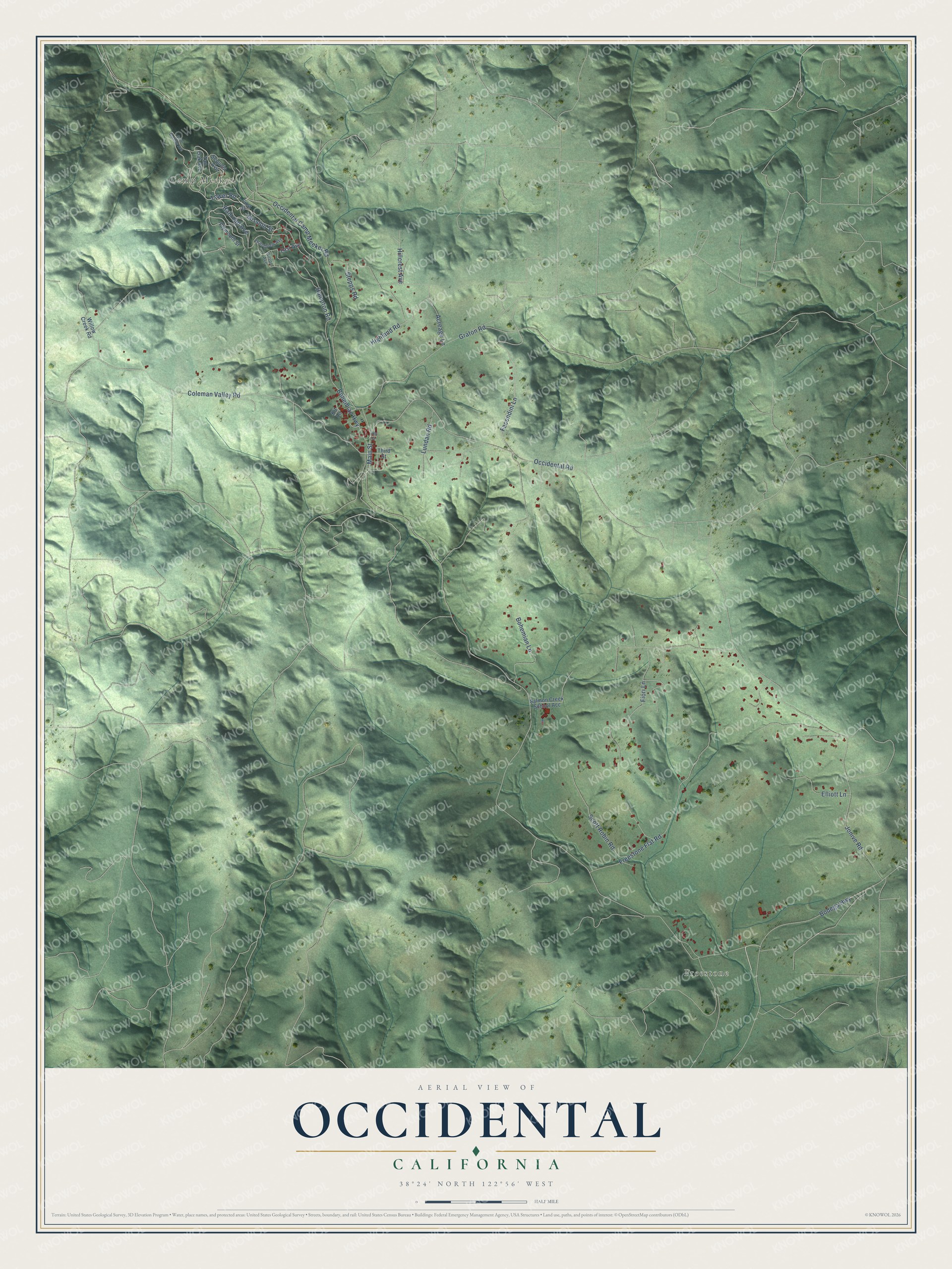
This beautifully detailed map of Occidental, California was created in 2026 using aerial imagery combined with modern topographical, census, street and landmark data. It's a modern aerial view of Occidental in Sonoma County, California, that combines modern data with a vintage aesthetic. The roads feature printed names, and if you look closely you can find your exact house accurately shown in its correct location.
Explore an aerial view of Occidental, California
On this map you'll find Camp Meeker, Freestone, Bodega Highway, Railroad Avenue, Main Street, Hillcrest Avenue, Facendini Lane, Tower Road, Bohemian Highway, Jonive Road, Occidental Road, Coleman Valley Road, and more. Each red shape is a building, so zoom in on the preview and look for yours.
Occidental has a story worth telling. Before it was Occidental, the town went by Summit, Meeker's, Howard's Summit and Howard's Station. William Howard, known as Dutch Bill, arrived around 1849, and later Melvin Cyrus Meeker, known as Boss, laid out the rival town of Occidental in a grid, so two neighbors each built a town side by side. The North Pacific Coast Railroad began running its narrow gauge trains to Occidental in 1876, carrying lumber, tanbark, wine, charcoal, fruit and butter to San Francisco. That's from the County of Sonoma.
Occidental is a community in Sonoma County. The Census Bureau counted 1,132 people here in 2020.
Take a closer look at the Occidental map
Names on this map
These names are printed on this map.
Places: Camp Meeker and Freestone.
Streets and roads: Bodega Highway, Railroad Avenue, Main Street, Hillcrest Avenue, Facendini Lane, Tower Road, Bohemian Highway, Jonive Road, Occidental Road, Coleman Valley Road, Fiori Lane, Occidental Camp Meeker Road.
More street names, A to Z
Acreage Lane, Bohemian Lane, East Avenue, Elliott Lane, First Street, Freestone Flat Road, Gilson Avenue, Grandview Avenue, Graton Road, Hampton Road, Highland Road, Hill Street, Kit Lane, Lundan Road, Mission Street, Plymouth Street, Saint Dorothy Avenue, Salmon Creek School Acc, Scott Robin Road, Sequoia Avenue, Stepps Road, Tan Oak Avenue, Third Street, Willow Creek Road.
See it on a wall
The Occidental map as a framed print. Swipe for more.


Created by KNOWOL in 2026. The buildings are small red shapes, the roads carry their printed names, and shaded relief shows the shape of the land. The title panel reads "AERIAL VIEW OF OCCIDENTAL, CALIFORNIA" with 38°24' NORTH 122°56' WEST.
It looks right in a kitchen, an office or a den, and it's a gift for anyone who grew up in Occidental or moved away. Open the preview and find your street. See sizes and frames for the Occidental map.