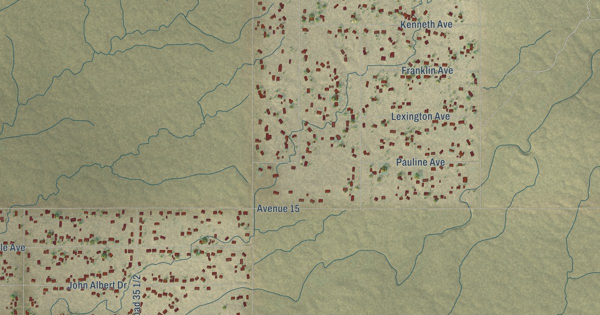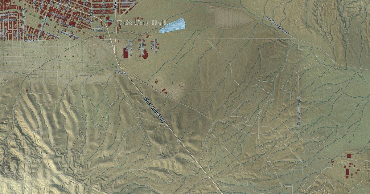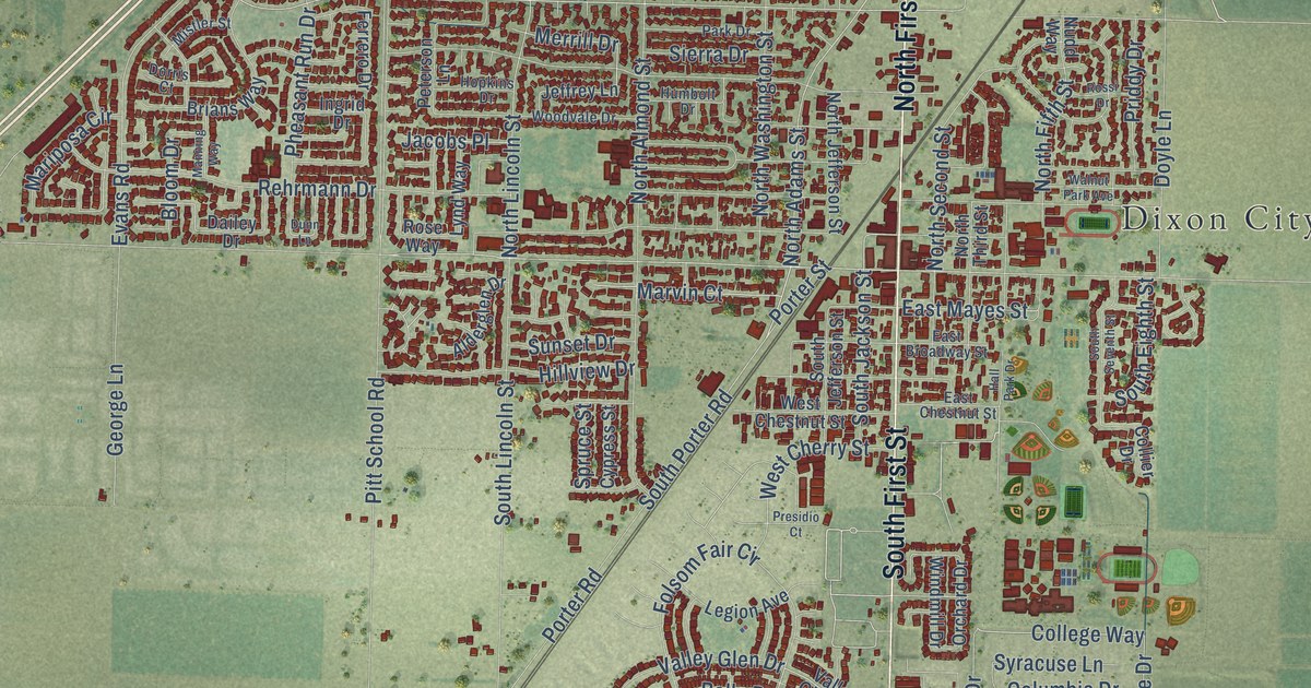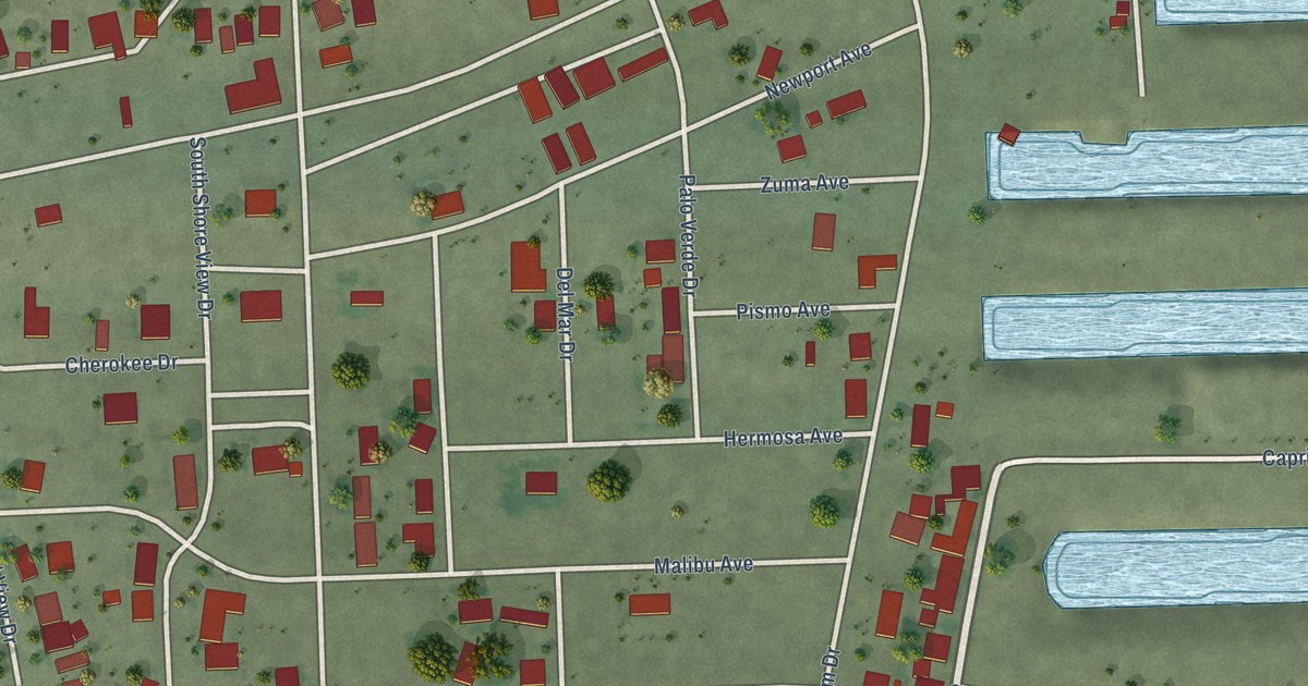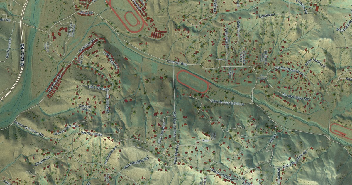
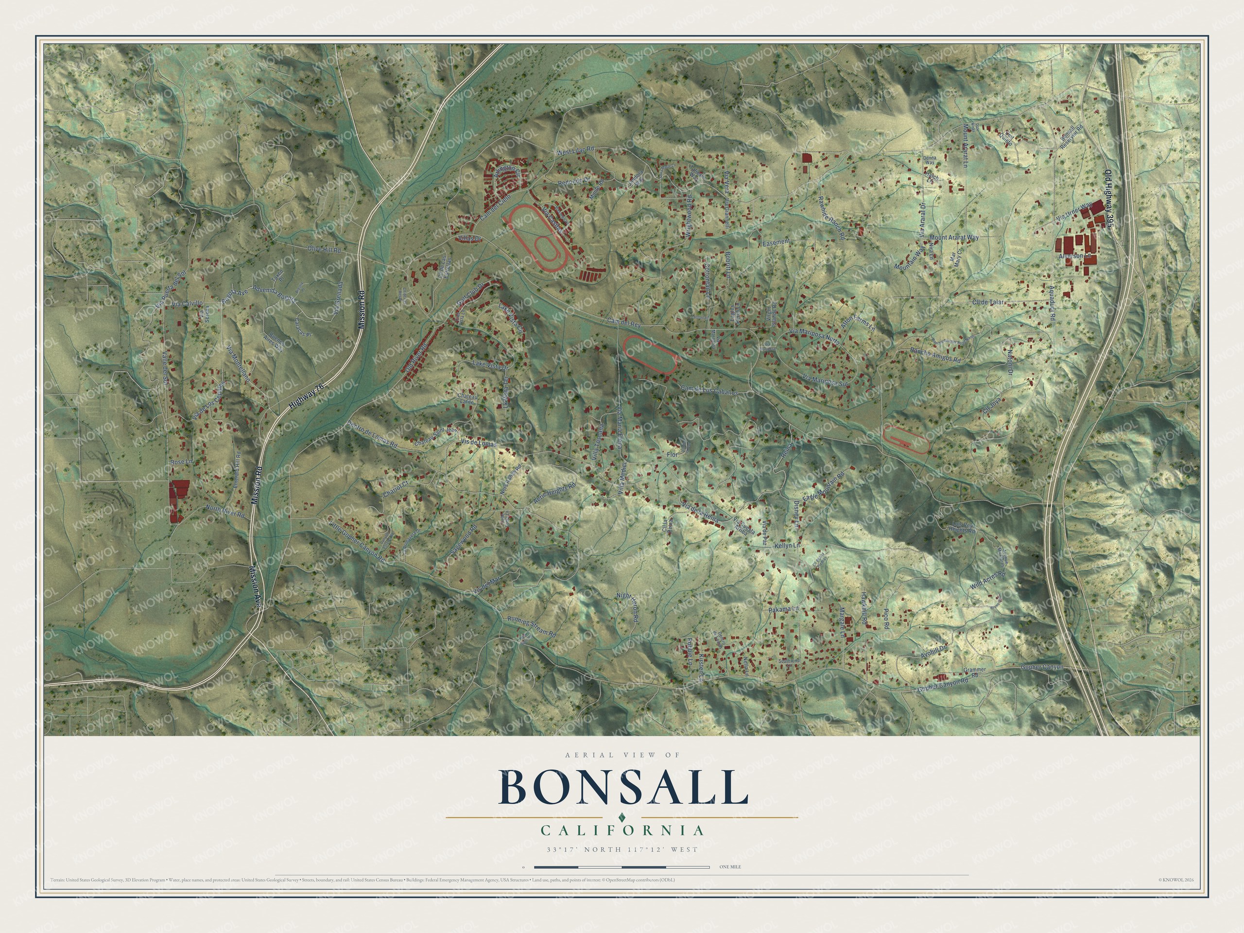
This beautifully detailed map of Bonsall, California was created in 2026 using aerial imagery combined with modern topographical, census, street and landmark data. It's a modern aerial view of Bonsall in San Diego County, California, that combines modern data with a vintage aesthetic. The roads feature printed names, and if you look closely you can find your exact house accurately shown in its correct location.
Explore an aerial view of Bonsall, California
On this map you'll find Highway 76, Mission Road, Mission Avenue, Old Highway 395, Via de Los Cepillos, Via Montellano, Gopher Canyon Road, West Lilac Road, Cam del Rey, Advenida Bogota, Bogota Avenue, Hawkhill Road, and more. Each red shape is a building, so zoom in on the preview and look for yours.
Every town has a first chapter, and Bonsall is no exception. Bonsall was first known as Mount Fairview and later as Osgood. When residents asked for a post office in 1889, officials in Washington chose the name Bonsall, for James Bonsall, a retired Methodist minister who started a fruit tree nursery there that year. As the story goes, his wagon broke down while he was hauling lumber through Gopher Canyon. He liked the area so much that he bought land, built a home and started his nursery with three dollars in cash. That's from the Fallbrook Historical Society.
Bonsall is a community in San Diego County. The Census Bureau counted 4,546 people here in 2020.
Take a closer look at the Bonsall map
Names on this map
These names are printed on this map.
Streets and roads: Highway 76, Mission Road, Mission Avenue, Old Highway 395, Via de Los Cepillos, Via Montellano, Gopher Canyon Road, West Lilac Road, Cam del Rey, Advenida Bogota, Bogota Avenue, Hawkhill Road.
More street names, A to Z
Aerie Heights Road, Afton Farms Lane, Alverson Lane, Anna Marie Lane, Aquaduct Road, Arlington Circle, Avenue Mil Flores, Avohill Drive, Bobritt Lane, Bonsall Reservior Road, Braslia Place, Bruns Road, Buenos Aires Way, Calle Loma Lane, Cam del Cielo, Cam de Los Caballos, Canyon Estates Road, Caracas Place, Chariot Court, Chateau Lafite, Chateau Saint Jean, Cll de Las Estrellas, Cll de Las Piedras, Cll de Las Rosas, Cll de Talar, Cll Joya, Cll la Reina, Club Vista Lane, Cmt Quieto, Cottontail, Cottontail Lane, Dentro de Lomas, Dentro de Lomas Road, Disney Lane, Donna Way, Dos Ninas, Eagle Mountain Road, Eagles Perch Lane, Easement, Emerald Hill Road, Flor, Golf Club Drive, Gopher Canyon, Grammer Road, Hatch Lane, Jimdora Way, Kellyn Lane, Kirsten Lane, Lake Vista Circle, Lake Vista Drive, La Primavera Drive, Little Gopher Canyon Road, Lk Vista Terrace, Luis Rey Heights Road, Margale Lane, Mar Mary Cr, Monte Road, Mountain Way, Mount Ararat Lane, Mount Ararat Way, Natoni Drive, Nella Lane, Night Heron Road, Nira Lane, Nors Ranch Road, North River Road, Old Barn Road, Old River Road, Olive Hill Road, Pakama Lane, Pico Road, Rancho Amigos Road, Rancho Amigos Road North, Rawhide Ranch Road, Redondo Drive, Reina, Robbie Lane, Rose Lane, Running Stream Road, Sagewood Road, Southwind Lane, Taliesin Way, Taxco Place, Valle del Sol, Via Ararat Drive, Via Calvillo, Via Casitas, Via Cuesta Arriba, Via de la Flor, Via de la Reina, Via de Paz, Via Giannelli, Via Grenada, Via Larga Vis, Via Margarita, Via Maria Elena, Via Mariposa, Via Mariposa Norte, Via Mariposa Sur, Via Puerta del Sol, Via Serena, Via Urner Way, Via Vera, Villa Medici, Villas Drive, Villa Toscana, Virgin Islands Road, Vis del Mar, Vis de Lomas, Wild Acres Road, Wrightwood Road.
See it on a wall
The Bonsall map as a framed print. Swipe for more.


Created by KNOWOL in 2026. The buildings are small red shapes, the roads carry their printed names, and shaded relief shows the shape of the land. The title panel reads "AERIAL VIEW OF BONSALL, CALIFORNIA" with 33°17' NORTH 117°12' WEST.
Hang it in the hallway, the office or the cabin, or give it to someone who left Bonsall and still calls it home. Open the preview and look for a street you know. See sizes and frames for the Bonsall map.