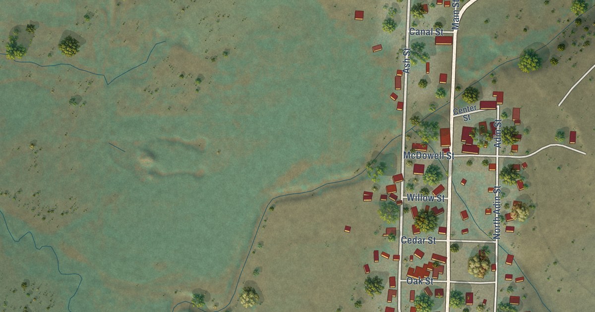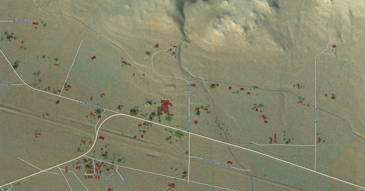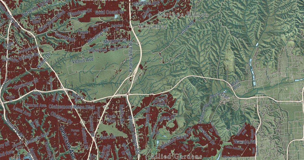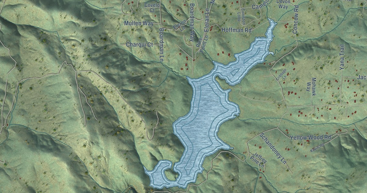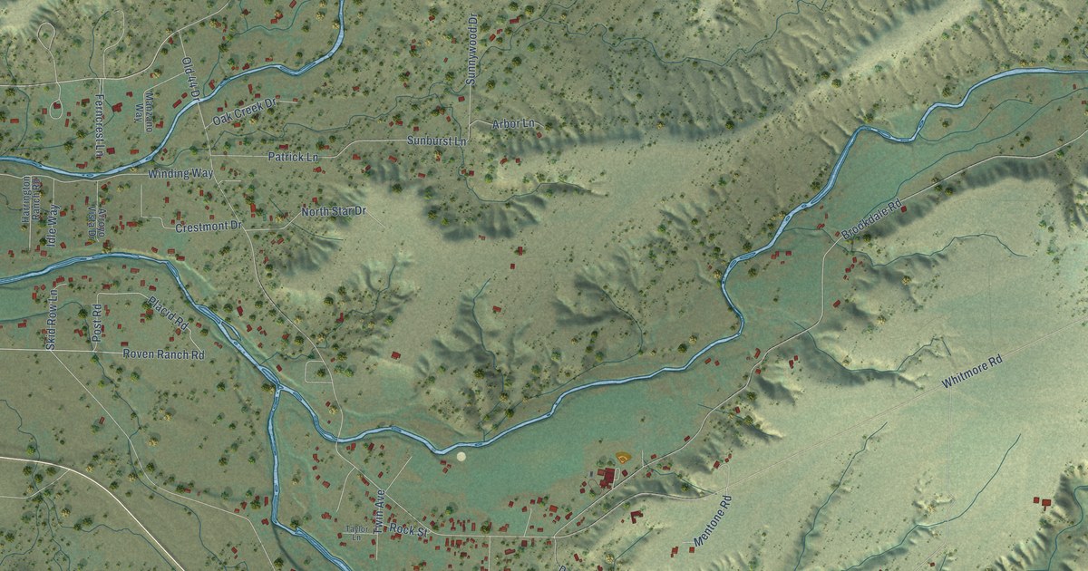
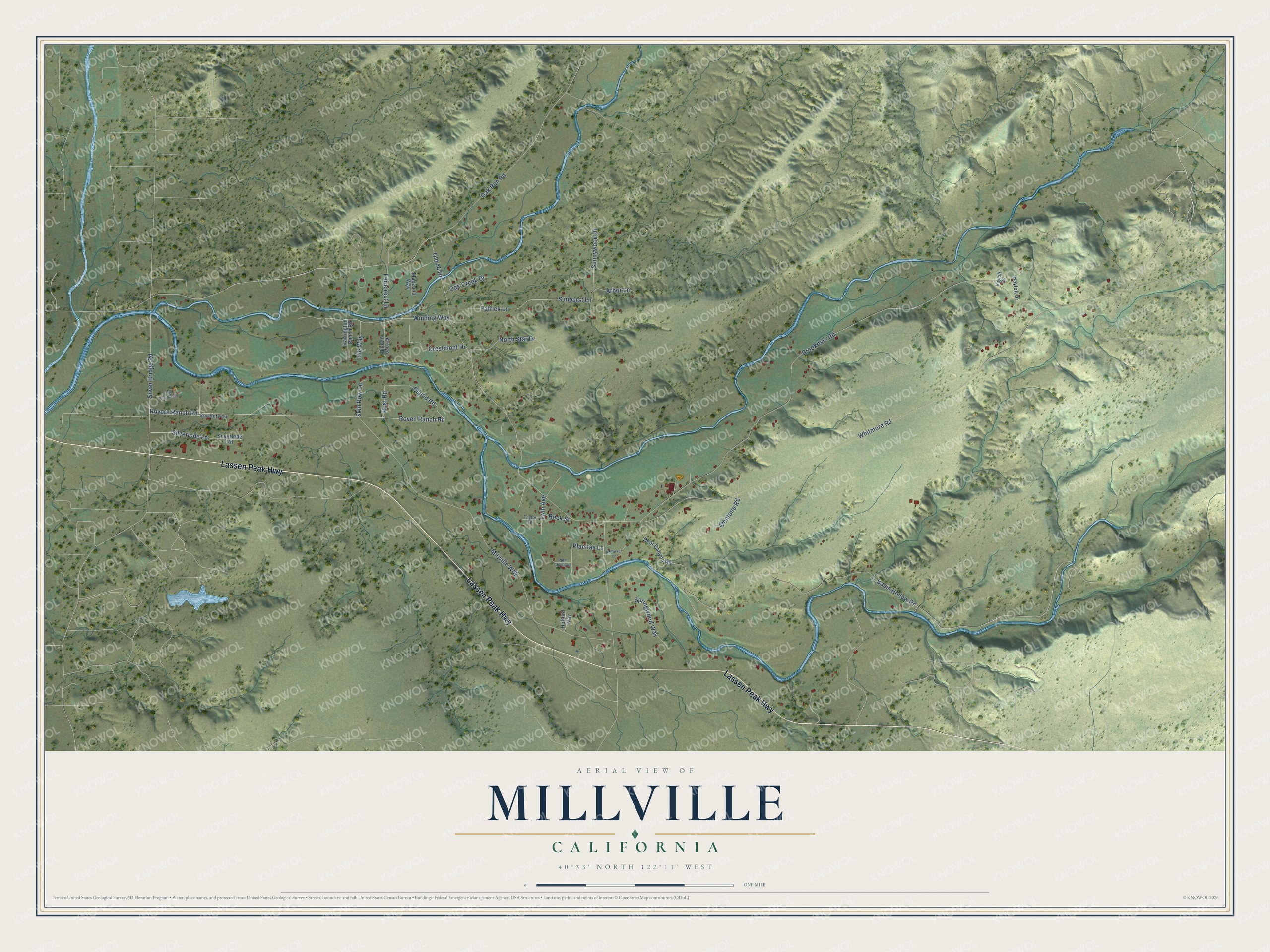
This beautifully detailed map of Millville, California was created in 2026 using aerial imagery combined with modern topographical, census, street and landmark data. It's a modern aerial view of Millville in Shasta County, California, that combines modern data with a vintage aesthetic. The roads feature printed names, and if you look closely you can find your exact house accurately shown in its correct location.
Explore an aerial view of Millville, California
On this map you'll find Lassen Peak Highway, Placid Road, Sunburst Lane, Old 44 Drive, Whitmore Road, Brookdale Road, Oak Run Road, Basin Hollow Road, Millville Way, Rovern Ranch Road, Roven Ranch Road, Silver Bridge Road, and more. Each red shape is a building, so zoom in on the preview and look for yours.
Here is a piece of Millville history. Brothers S. E. and N. T. Stroud began farming the site of Millville in 1853. In 1855 D. D. Harrill of Shasta built a flour mill there and named the town Buncombe Mills, after his birthplace in North Carolina. Later a group of citizens met on the porch of Joseph Smith's store, the first in town, and renamed it Millville. In the early 1860s Millville was the largest town in Shasta County after Shasta itself. That's from the Shasta County historian Rosena A. Giles.
Millville is a community in Shasta County. The Census Bureau counted 724 people here in 2020.
Take a closer look at the Millville map
Names on this map
These names are printed on this map.
Streets and roads: Lassen Peak Highway, Placid Road, Sunburst Lane, Old 44 Drive, Whitmore Road, Brookdale Road, Oak Run Road, Basin Hollow Road, Millville Way, Rovern Ranch Road, Roven Ranch Road, Silver Bridge Road.
More street names, A to Z
Al Parker Lane, Arbor Lane, Arroyo Vista Drive, Cow Pasture Road, Crestmont Drive, Deer Canyon Road, Ferncrest Lane, Harrington Ranch Road, Hayloft Drive, Hayloft Road, Hufford Way, Idle Way, Manzano Way, Mentone Road, New Christy Lane, North Star Drive, Oak Creek Drive, Patrick Lane, Placitas Lane, Post Road, Rock Street, Serenity Lane, Silverlode Lane, Silverlode Road, Skid Row Lane, Springwood Way, Sunnywood Drive, Taylor Lane, Twin Avenue, Winding Way.
See it on a wall
The Millville map as a framed print. Swipe for more.


Created by KNOWOL in 2026. The buildings are small red shapes, the roads carry their printed names, and shaded relief shows the shape of the land. The title panel reads "AERIAL VIEW OF MILLVILLE, CALIFORNIA" with 40°33' NORTH 122°11' WEST.
It suits a den, a classroom or a front hall, and it makes a gift for anyone with Millville roots. Open the preview and find the block you know. See sizes and frames for the Millville map.