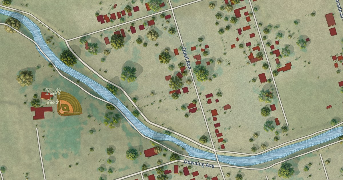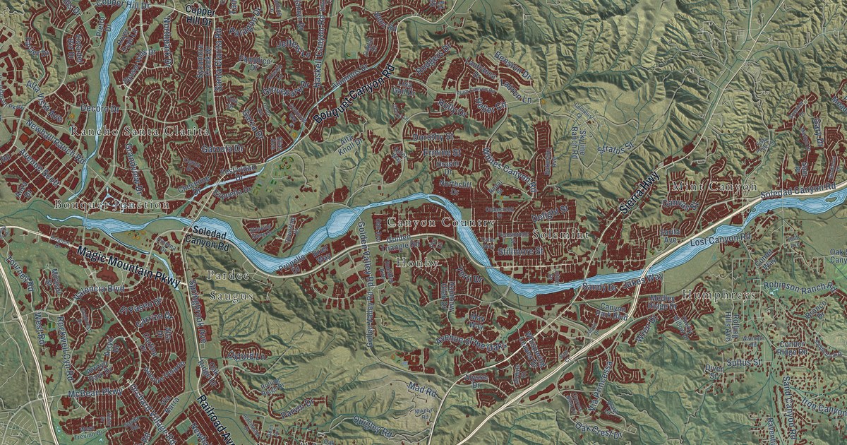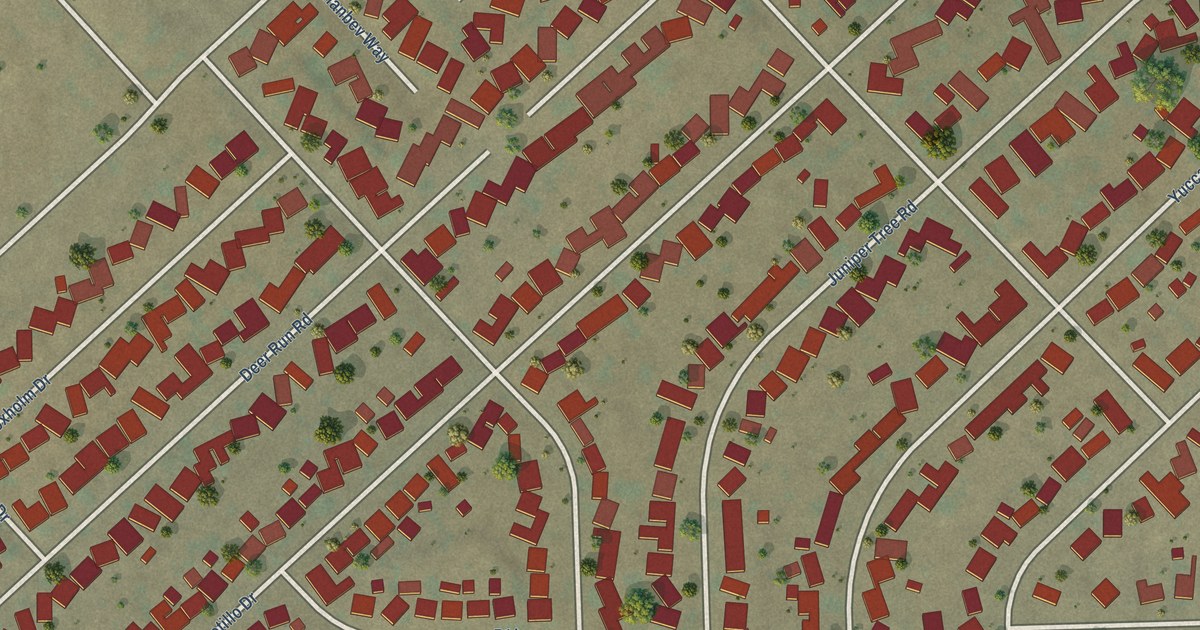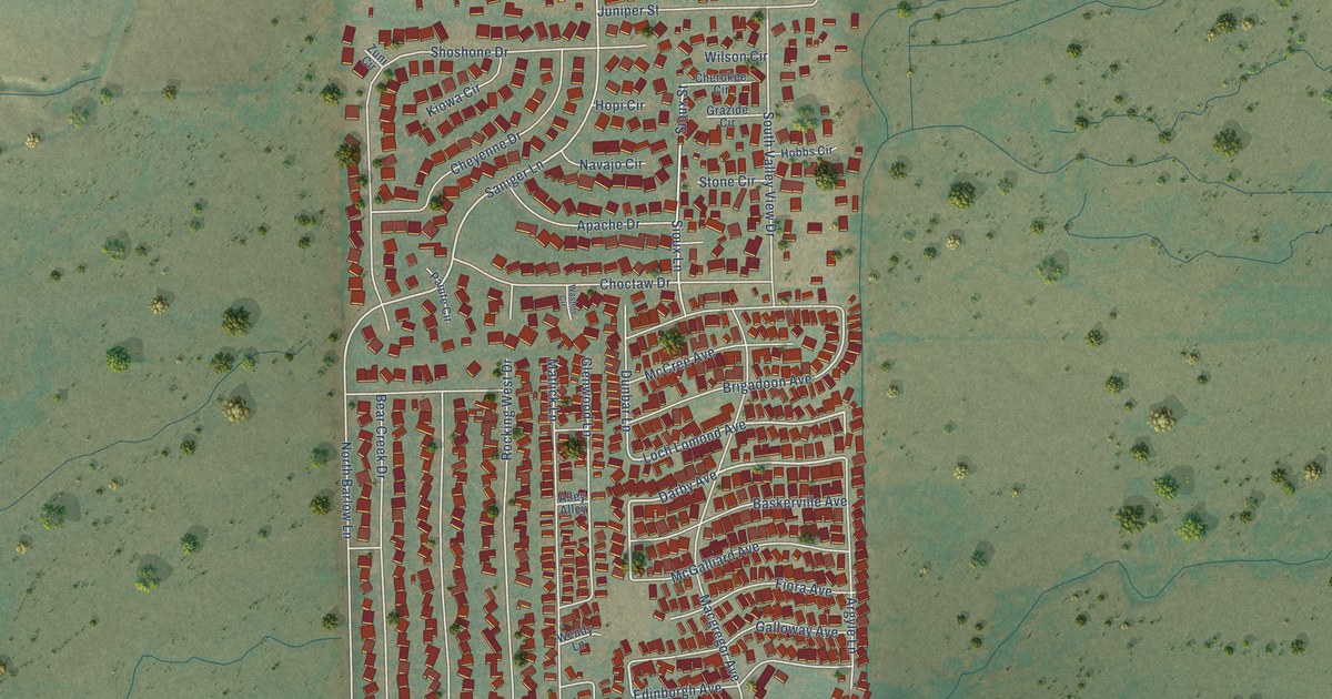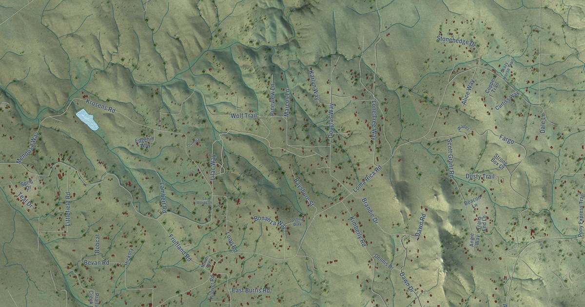
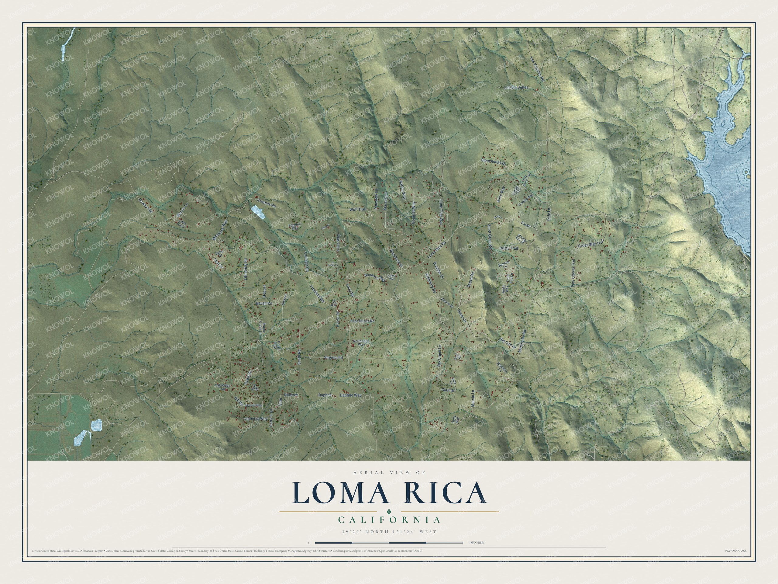
This beautifully detailed map of Loma Rica, California was created in 2026 using aerial imagery combined with modern topographical, census, street and landmark data. It's a modern aerial view of Loma Rica in Yuba County, California, that combines modern data with a vintage aesthetic. The roads feature printed names, and if you look closely you can find your exact house accurately shown in its correct location.
Explore an aerial view of Loma Rica, California
On this map you'll find Howcut Road, Elite, Smith Road, Loma Rica Road, Fruitland Road, Marysville Road, Los Verjeles Road, Wolf Trail, Kimberly Road, Fargo, Krosens Road, Scott Grant Road, and more. Each red shape is a building, so zoom in on the preview and look for yours.
Loma Rica has a story worth telling. The Reverend George M. Lambert and his son Charles cleared heavily timbered land in the Loma Rica district and set out vines, prunes, apricots and walnuts. There he planted the first commercial Thompson Seedless grape vineyard in the district. He held community sings at his son's home, where people of all denominations gathered, and the colony later built a community hall for its meetings. That's from the 1924 History of Yuba and Sutter Counties.
Loma Rica is a community in Yuba County. The Census Bureau counted 2,409 people here in 2020.
Take a closer look at the Loma Rica map
Names on this map
These names are printed on this map.
Streets and roads: Howcut Road, Elite, Smith Road, Loma Rica Road, Fruitland Road, Marysville Road, Los Verjeles Road, Wolf Trail, Kimberly Road, Fargo, Krosens Road, Scott Grant Road.
More street names, A to Z
Alice Way, Alita Court, Angie Way, Bayberry Lane, Bayshore Street, Beacon Lane, Bevan Road, Big Oak Lane, Bobcat, Bonanza Way, Brandie Drive, Clair Drive, Copper Trail, Crazy Horse Trail, Cross Star Trail, Curry Trail, Curtiss Way, Dale Lane, Daphne, Daphne Way, Dawn Drive, Dawn Road, Dennis Drive, Dori Court, Douglas Way, Dry Creek Lane, Dusty Trail, East Burris Road, Edgehill Way, Getty Way, Hickory, Hill Road, Hillview, Hoover Road, Joshua Way, Judy Street, Karlyn Way, Kitty Cat Lane, Lambert Road, La Vonda Lane, Lilac Way, Littlefield Road, Little Quail, Lone Tree Way, Loop Road, Los Ver Jelles, Malott Way, Manna Lane, Marcia Lane, Marcos Lane, Mendosa Way, North Avenue, Northridge Way, Oak Ridge Trail, Olympia, Pineview Lane, Pony Express Trail, Prairie Creek Lane, Sprig Drive, Stonehedge Drive, Strong Box Court, Teal Drive, Trails End Lane, Valencia Way, Vickie Drive, Virginia Road, Wades.
See it on a wall
The Loma Rica map as a framed print. Swipe for more.


Created by KNOWOL in 2026. The buildings are small red shapes, the roads carry their printed names, and shaded relief shows the shape of the land. The title panel reads "AERIAL VIEW OF LOMA RICA, CALIFORNIA" with 39°20' NORTH 121°24' WEST.
It looks right in a kitchen, an office or a den, and it's a gift for anyone who grew up in Loma Rica or moved away. Open the preview and find your street. See sizes and frames for the Loma Rica map.