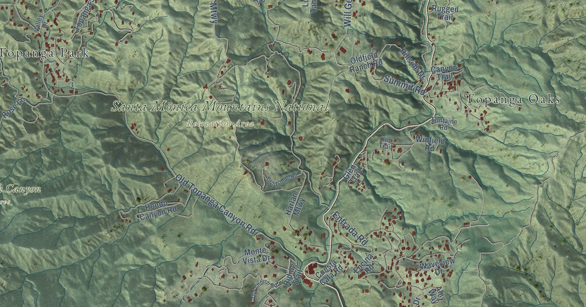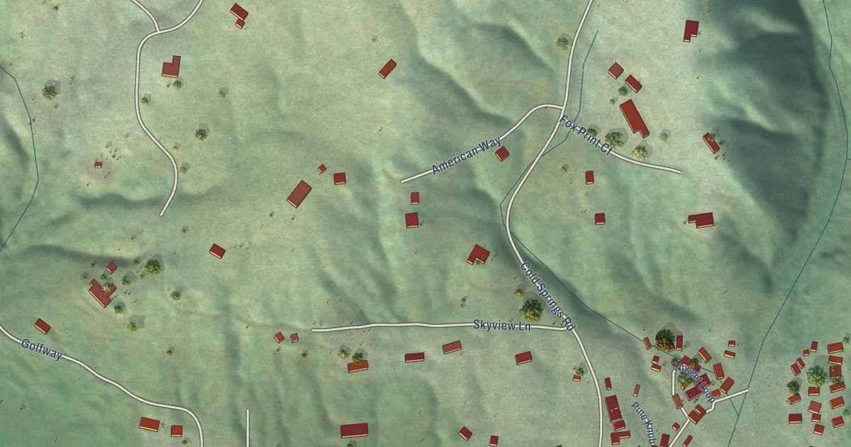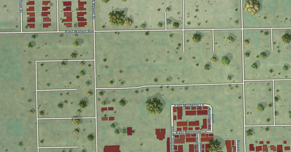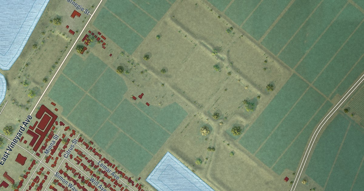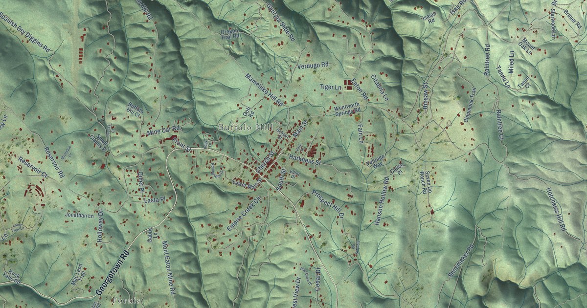
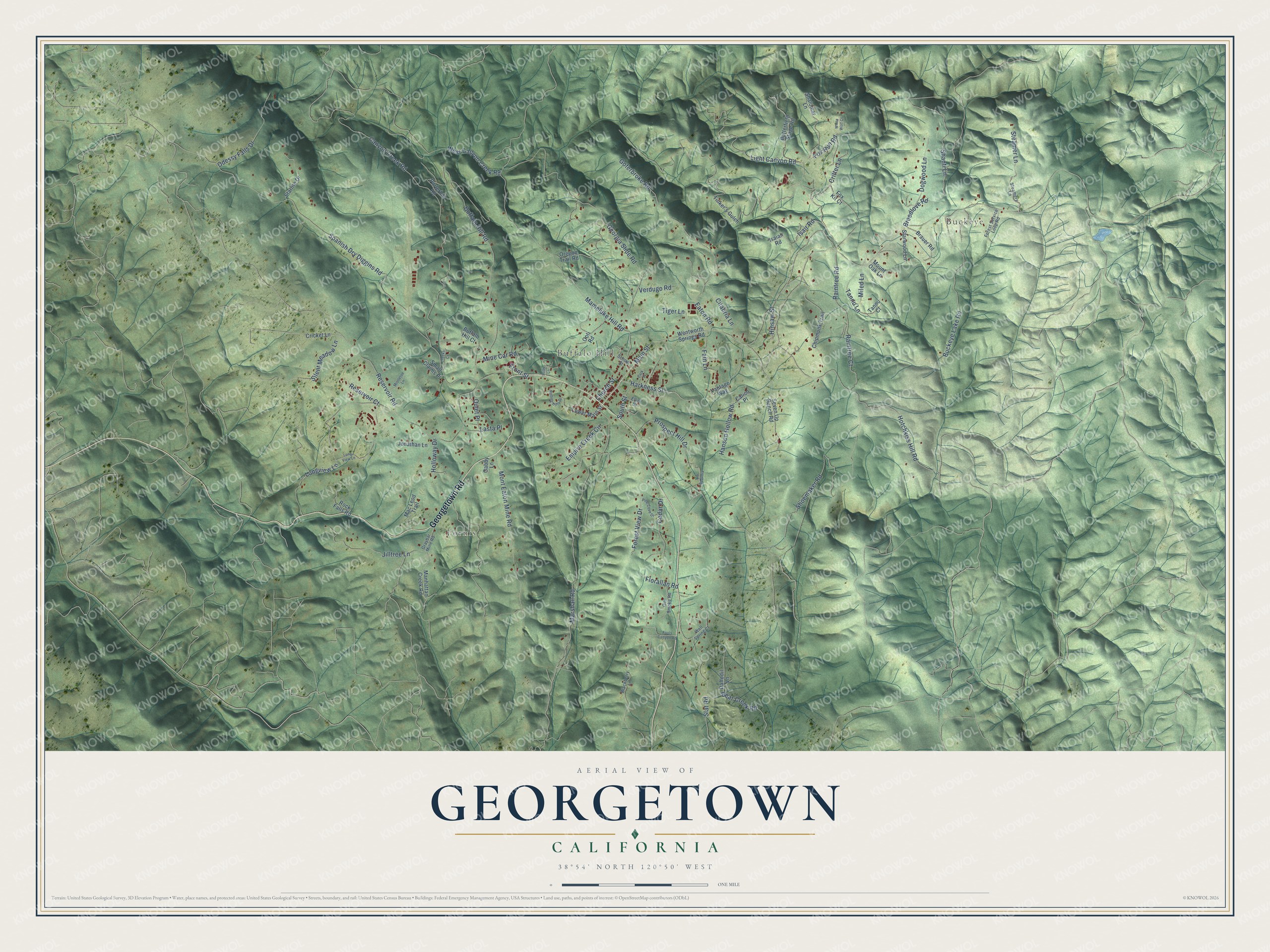
This beautifully detailed map of Georgetown, California was created in 2026 using aerial imagery combined with modern topographical, census, street and landmark data. It's a modern aerial view of Georgetown in El Dorado County, California, that combines modern data with a vintage aesthetic. The roads feature printed names, and if you look closely you can find your exact house accurately shown in its correct location.
Explore an aerial view of Georgetown, California
On this map you'll find Buckeye, Fornis, Buffalo Hill, Georgetown Road, Main Street, Harkness Street, Light Canyon Road, Isair Road, Raintree Court, Shoemaker Road, Spanish Dry Diggins Road, Georgia Slide Road, and more. Each red shape is a building, so zoom in on the preview and look for yours.
Every town has a first chapter, and Georgetown is no exception. George Phipps and his party founded Georgetown on August 7, 1849. Miners nicknamed the camp Growlersburg, for the heavy gold nuggets that growled in their pans. After a disastrous fire in 1852, the town moved from the canyon at lower Main Street to its present site. Main Street was laid out 100 feet wide, with side streets of 60 feet, a rare thing in early town planning. That's from the California Office of Historic Preservation.
Georgetown is a community in El Dorado County. The Census Bureau counted 2,255 people here in 2020.
Take a closer look at the Georgetown map
Names on this map
These names are printed on this map.
Places: Buckeye, Fornis and Buffalo Hill.
Streets and roads: Georgetown Road, Main Street, Harkness Street, Light Canyon Road, Isair Road, Raintree Court, Shoemaker Road, Spanish Dry Diggins Road, Georgia Slide Road, Canyon Creek Road, Hotchkiss Hill Road, Reservoir Road.
More street names, A to Z
Bear Creek Road, Blackberry Lane, Brauer Road, Breedlove Road, Buckeye Lake Road, Buffalo Hill Court, Buffalo Hill Road, Butterfield Stage Road, Calico Place, Cedar Drive, Chipmunk Trail, Church Street, Citabria Lane, Creeks Court, Cricket Lane, Critter Lane, Daffodil Lane, Dogwood Lane, Eaton Road, Elliot Drive, Empire Creek Circle, Fain Lane, Florallan Road, Fools Canyon Road, Forest Service Loop Road, Forest View Drive, Fox Kit Court, Fox Run Road, Front Street, Gabby Lane, Goferbroke Road, Graybar Mine Road, Gun Smoke Road, Hanson Hollow Road, Hinsaw Street, Holloway Drive, Isaiah Road, Jilltree Lane, Jonathan Lane, Lasta Place, Longview Lane, Long View Lane, Lower Main Street, Mac Leod Trail, Mameluke Hill Road, Manhattan Creek Road, Marshall Road, Miled Lane, Mine Car Road, Mistletoe Lane, Mont Eaton Mine Road, Mount Oak Lane, Odessy Falls Drive, Ooti Road, Oregon Trail Road, Park Place, Pine Cove Drive, Polly Lane, Porterhill Road, Prospect Hill Drive, Quiet Place, Raintree Road, Reservoir Court, Rock Falls Road, Rolling Hills Drive, School Street, Seven Up Ranch Road, Shalomar Lane, Shanti Lane, Silent Meadow Lane, Slat Road, Small Claims Place, South Street, Starlite Drive, Starwood Lane, Steamer Lane, Steamers Lane, Tannu Court, Tannu Lane, Tiger Lane, Tinker's Gulch, Vantage Way, Verdugo Road, Via Sequoia, Well Spring Court, Wentworth Springs Road, West Canyon Creek Road, White Wolf Court.
See it on a wall
The Georgetown map as a framed print. Swipe for more.


Created by KNOWOL in 2026. The buildings are small red shapes, the roads carry their printed names, and shaded relief shows the shape of the land. The title panel reads "AERIAL VIEW OF GEORGETOWN, CALIFORNIA" with 38°54' NORTH 120°50' WEST.
Hang it in the hallway, the office or the cabin, or give it to someone who left Georgetown and still calls it home. Open the preview and look for a street you know. See sizes and frames for the Georgetown map.