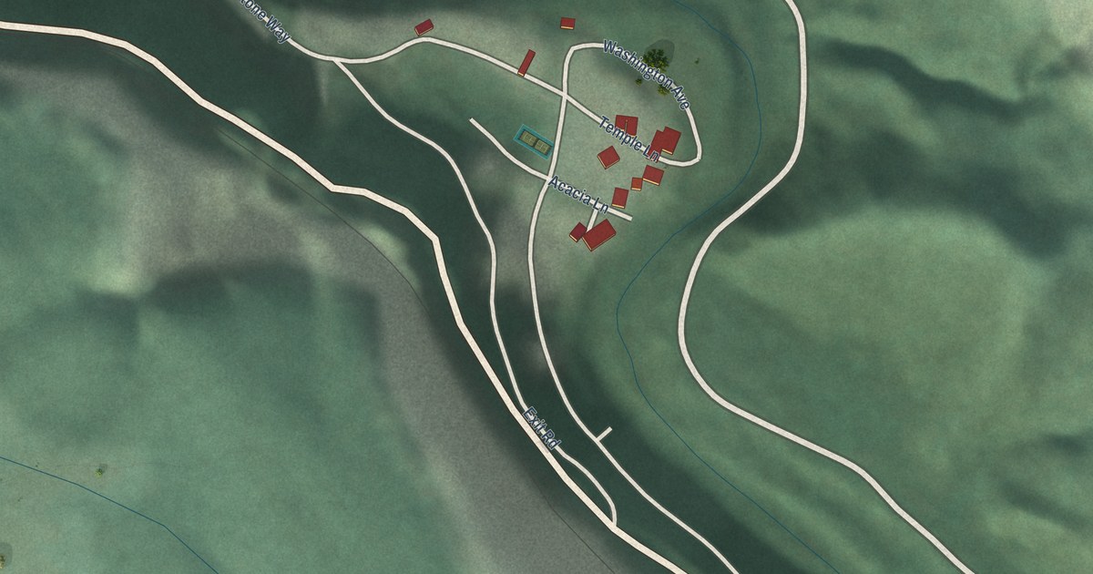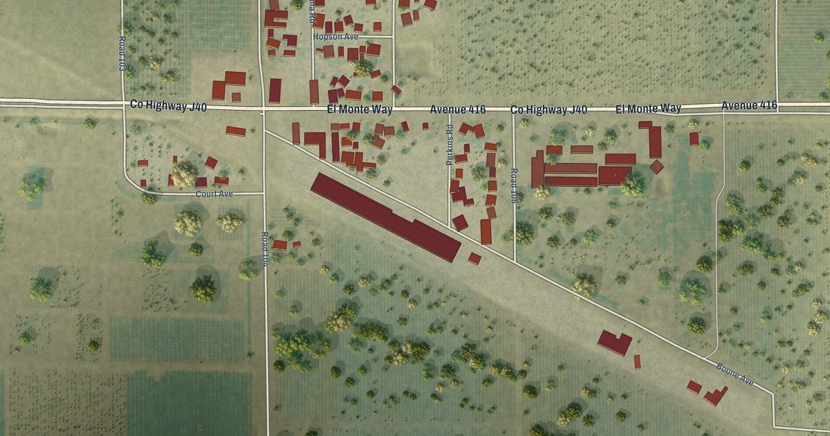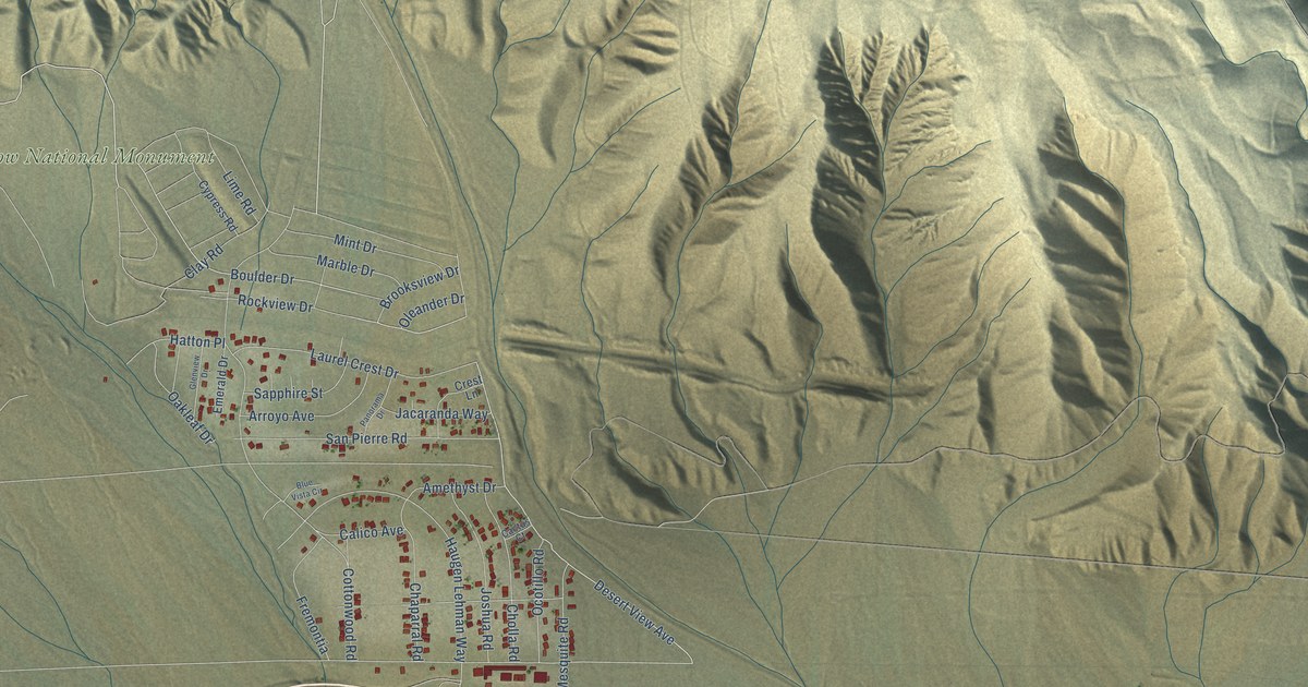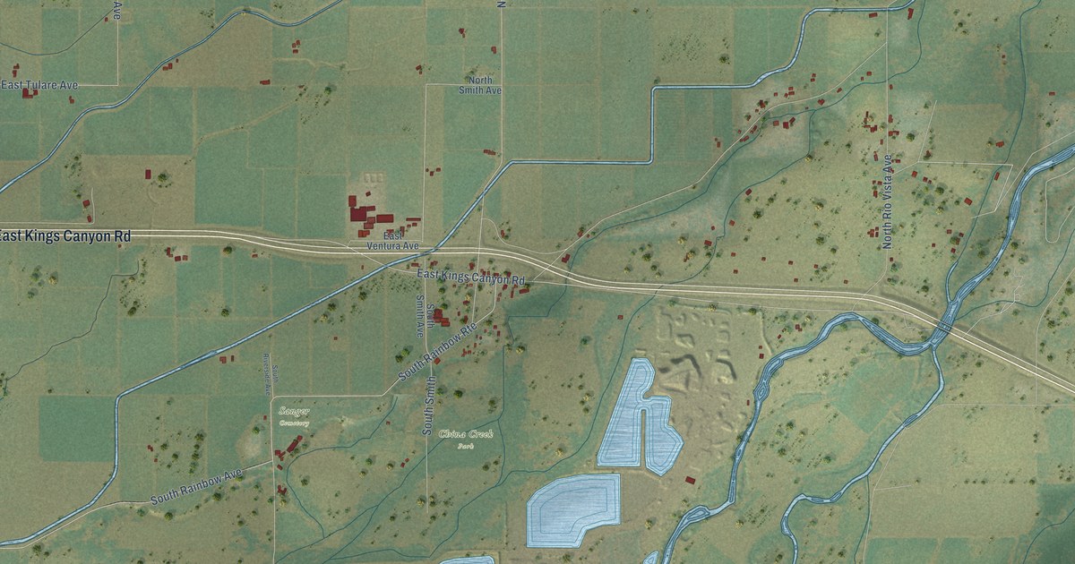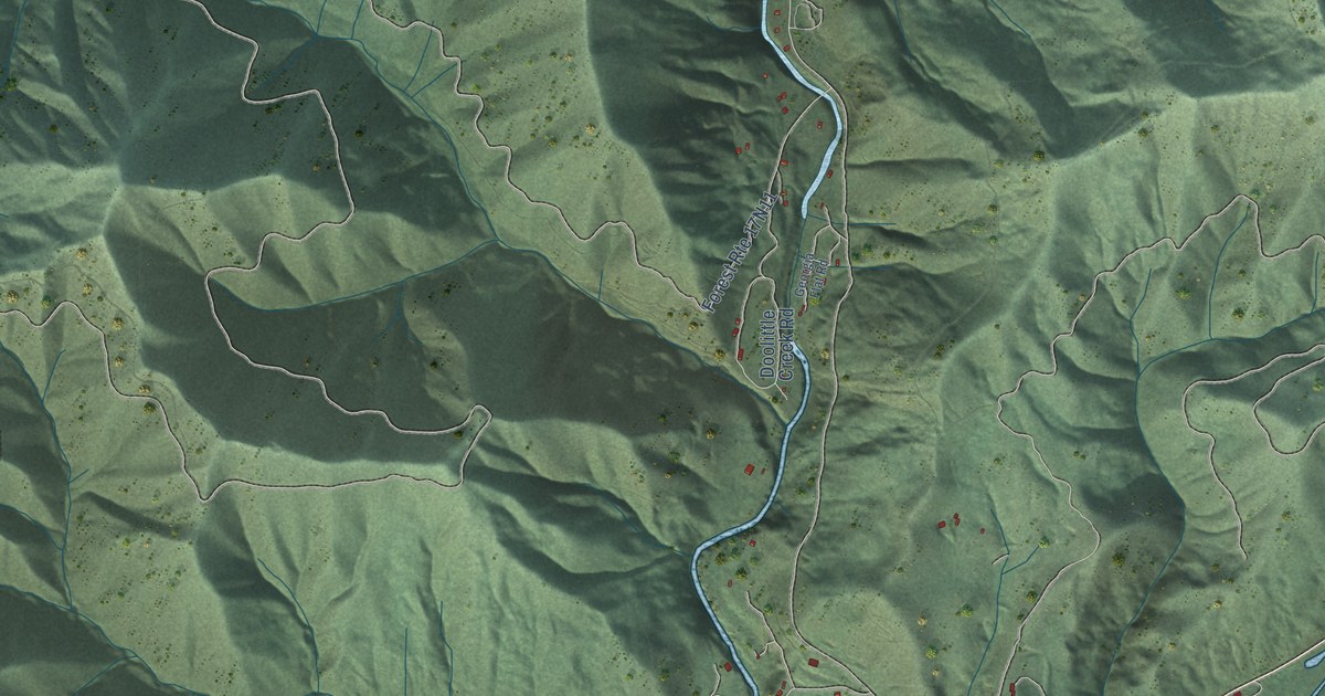
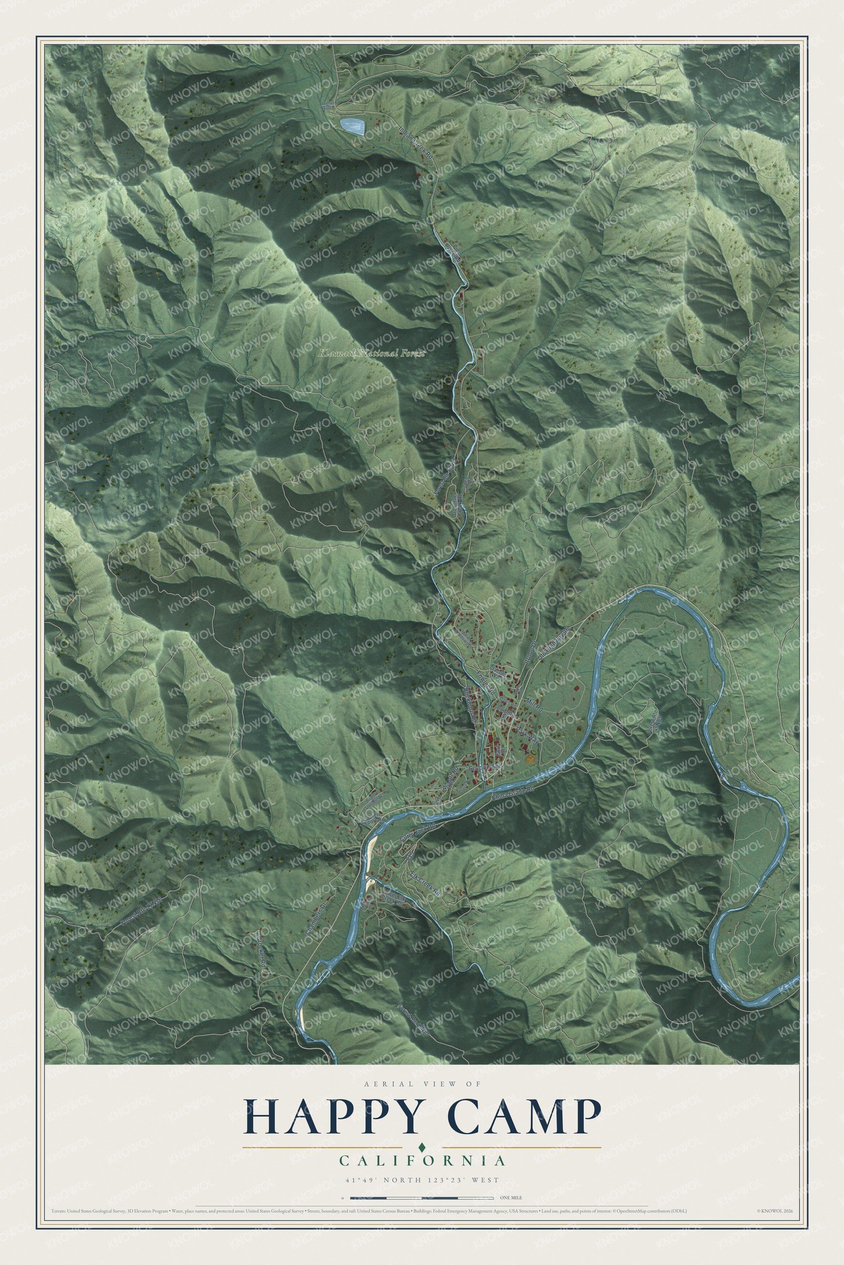
This beautifully detailed map of Happy Camp, California was created in 2026 using aerial imagery combined with modern topographical, census, street and landmark data. It's a modern aerial view of Happy Camp in Siskiyou County, California, that combines modern data with a vintage aesthetic. The roads feature printed names, and if you look closely you can find your exact house accurately shown in its correct location.
Explore an aerial view of Happy Camp, California
On this map you'll find Klamath National Forest, Elk Creek Road, Indian Creek Road, China Grade Road, Curly Jack Road, Itroop Drive, Buckhorn Road, Fowler Road, Chambers Drive, Second Avenue, Crocker Road, Old Highway 96, and more. Each red shape is a building, so zoom in on the preview and look for yours.
Happy Camp has a story worth telling. Happy Camp is home to the Karuk People's Center. It opened in September 2002 with a museum, library, archive, basket weaving classroom and the office of the Karuk Language Program. Its exhibits, from a dugout canoe to basketry and ceremonial regalia, show the cultural continuity and innovation of the Karuk people across time. The center keeps up an active schedule of public programs. They help visitors understand how central Karuk art, history and culture are to Karuk lives. That's from the Karuk Tribe.
Happy Camp is a community in Siskiyou County. The Census Bureau counted 905 people here in 2020.
Take a closer look at the Happy Camp map
Names on this map
These names are printed on this map.
Places: Klamath National Forest.
Streets and roads: Elk Creek Road, Indian Creek Road, China Grade Road, Curly Jack Road, Itroop Drive, Buckhorn Road, Fowler Road, Chambers Drive, Second Avenue, Crocker Road, Old Highway 96, Airport Road.
More street names, A to Z
Airport Storage Acc, Davis Road, Doolittle Creek Road, Doolittle Street, Druey Road, East Street, Georgia Flat Road, Indian Meadows Drive, Jacobs Way, Lower Airport Road, Lower Elk Creek Road, Luther Gulch, Memory Lane, Mill Road, Nugget Street, Park Way, Piith Drive, Pine Place Road.
See it on a wall
The Happy Camp map as a framed print. Swipe for more.


Created by KNOWOL in 2026. The buildings are small red shapes, the roads carry their printed names, and shaded relief shows the shape of the land. The title panel reads "AERIAL VIEW OF HAPPY CAMP, CALIFORNIA" with 41°49' NORTH 123°23' WEST.
It looks right in a kitchen, an office or a den, and it's a gift for anyone who grew up in Happy Camp or moved away. Open the preview and find your street. See sizes and frames for the Happy Camp map.