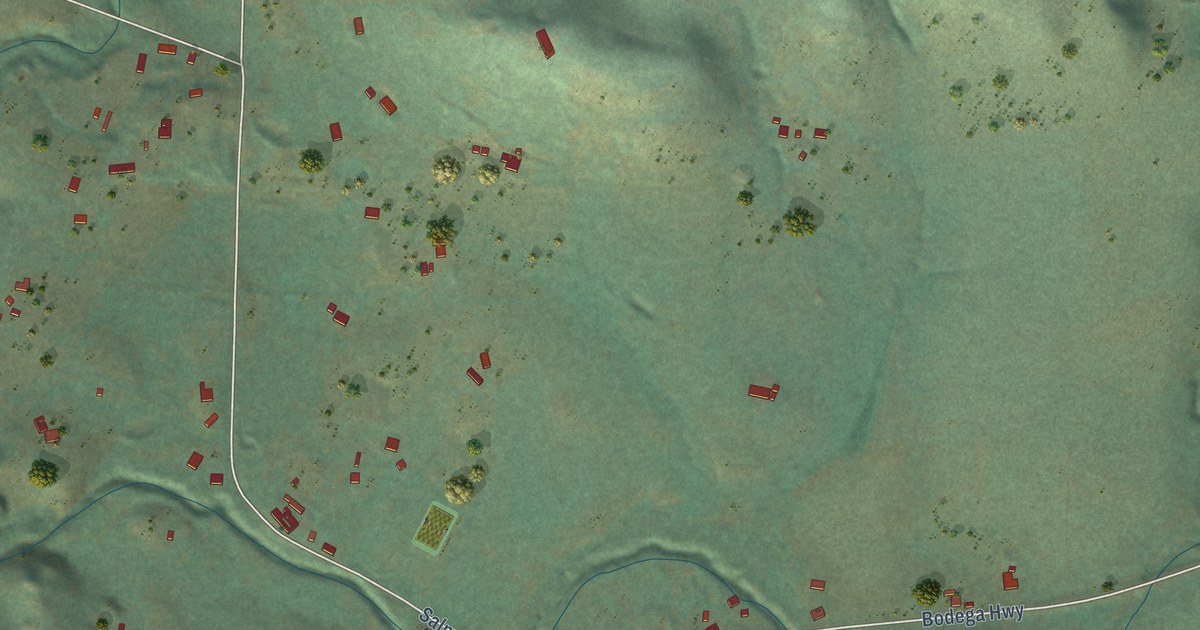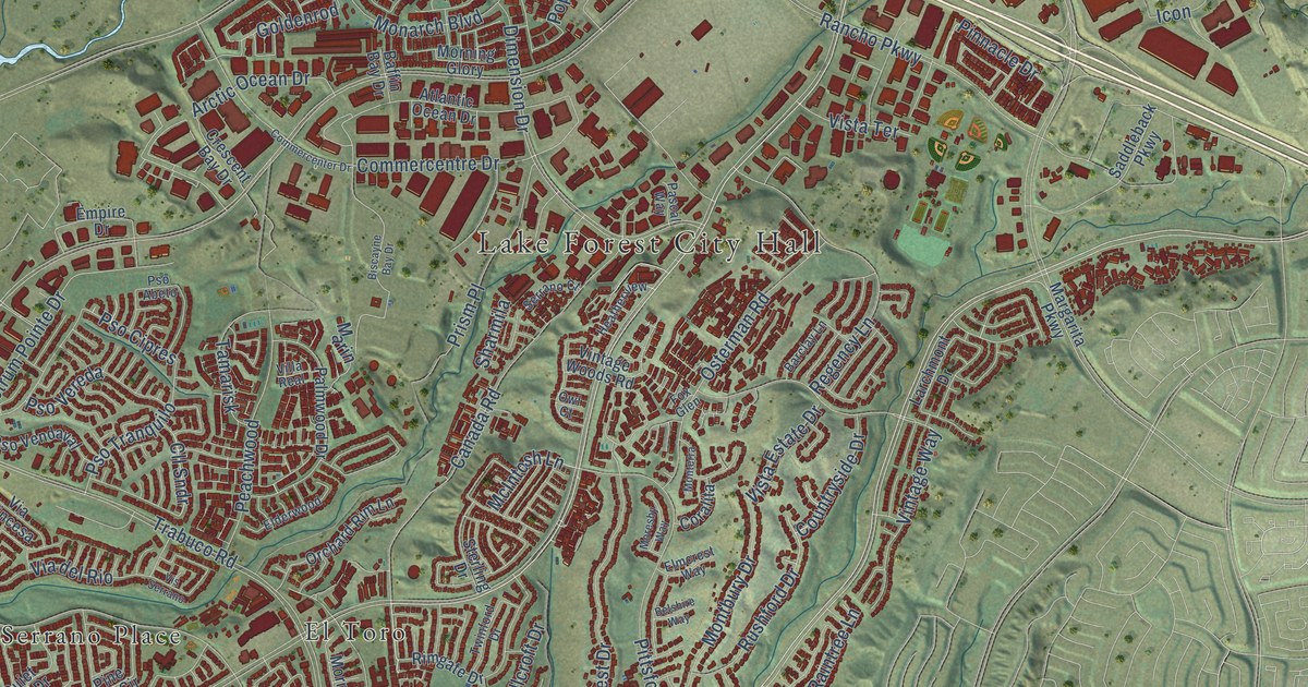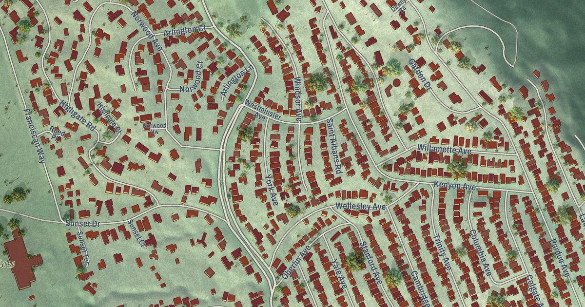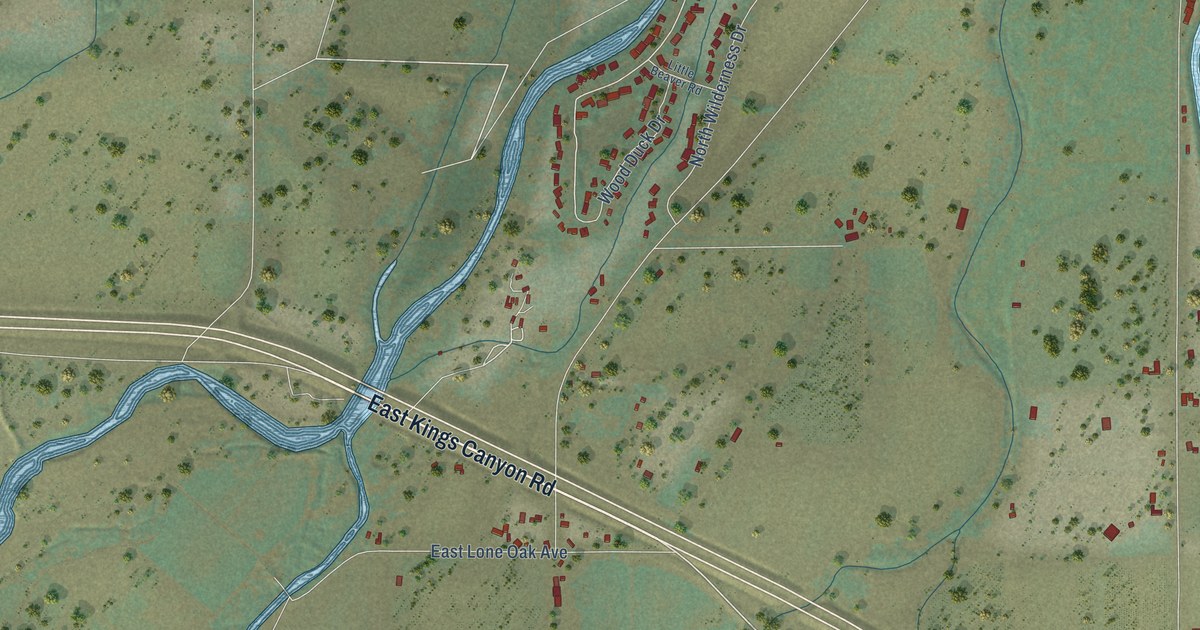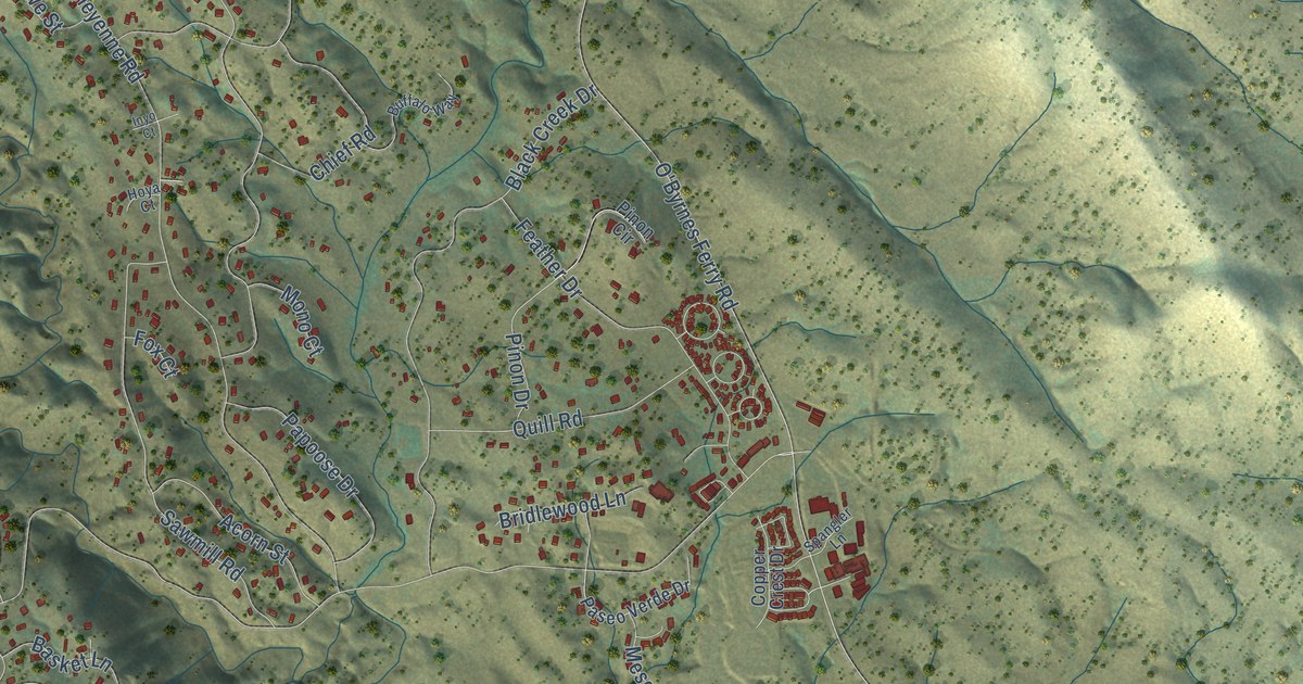
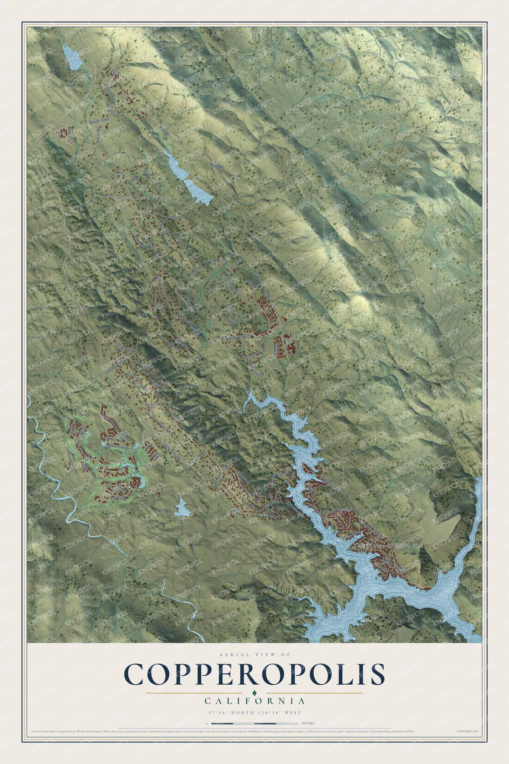
This beautifully detailed map of Copperopolis, California was created in 2026 using aerial imagery combined with modern topographical, census, street and landmark data. It's a modern aerial view of Copperopolis in Calaveras County, California, that combines modern data with a vintage aesthetic. The roads feature printed names, and if you look closely you can find your exact house accurately shown in its correct location.
Explore an aerial view of Copperopolis, California
On this map you'll find The Shores of Poker Flat, Copper Cove Village, Saddle Creek Drive, Poker Flat Road, Copper Cove Drive, Hawkridge Drive, Little John Road, O'Byrnes Ferry Road, Knolls Drive, Arrowhead Street, Cheyenne Road, Quail Hill Road, and more. Each red shape is a building, so zoom in on the preview and look for yours.
Copperopolis has a story worth telling. W. K. Reed and Thomas McCarty found copper in 1860 in what a year later became Copperopolis. The Civil War's huge need for copper for munitions and shell casings turned the ranchland into a booming town almost overnight, and its streets were named for the war: Union, Lincoln, Grant and Sherman. The brick armory, built by public subscription in 1864, was home to the Union Guard, also called the Copperopolis Blues. A fire in September 1867 later destroyed half the town and more than thirty businesses. That's from the National Register of Historic Places.
Copperopolis is a community in Calaveras County. The Census Bureau counted 3,400 people here in 2020.
Take a closer look at the Copperopolis map
Names on this map
These names are printed on this map.
Places: The Shores of Poker Flat and Copper Cove Village.
Streets and roads: Saddle Creek Drive, Poker Flat Road, Copper Cove Drive, Hawkridge Drive, Little John Road, O'Byrnes Ferry Road, Knolls Drive, Arrowhead Street, Cheyenne Road, Quail Hill Road, Choctaw Road, Bow Drive.
More street names, A to Z
Acorn Street, Athena Drive, Baker Street, Basket Lane, Bayview Drive, Beaver Street, Black Creek Drive, Bluff View Road, Brave Street, Bridlewood Lane, Buffalo Way, Canoe Street, Cattle Drive, Charmstone Way, Chief Road, Conner Estates Drive, Copper Crest Drive, Copper Glen Terrace, Falling Leaf Lane, Feather Drive, Flint Trail, Fong Drive, Foothill Road, Fox Court, Glen Side Court, Hawk Ridge, Hoya Court, Inyo Court, Jackson Street, King Lane, Kiva Drive, Kiva Place, Knolls Court, Lacrosse Court, Lakeshore Drive, Main Street, Mesquite Drive, Mineral Street, Moccasin Court, Moccasin Street, Mono Court, Oak Creek Drive, Oak Wood Court, Papoose Drive, Paseo Verde Drive, Pinon Circle, Pinon Drive, Pueblo Trail, Pyle Road, Quail Meadow Lane, Quill Road, Quiver Street, Ranch Road, Reeds Turnpike, Rock Ridge Lane, Salmon Road, Sanguinetti Road, Sawmill Road, Shoreline Drive, Signal Hill Trail, Spangler Lane, Summit Lane, Sunrise Road, Teton Court, Thomson Lane, Tomahawk Trail, Tower Street, Tuni Way, Uncle Billy Court, Yana Court, Yuma Court.
See it on a wall
The Copperopolis map as a framed print. Swipe for more.


Created by KNOWOL in 2026. The buildings are small red shapes, the roads carry their printed names, and shaded relief shows the shape of the land. The title panel reads "AERIAL VIEW OF COPPEROPOLIS, CALIFORNIA" with 37°56' NORTH 120°38' WEST.
It looks right in a kitchen, an office or a den, and it's a gift for anyone who grew up in Copperopolis or moved away. Open the preview and find your street. See sizes and frames for the Copperopolis map.