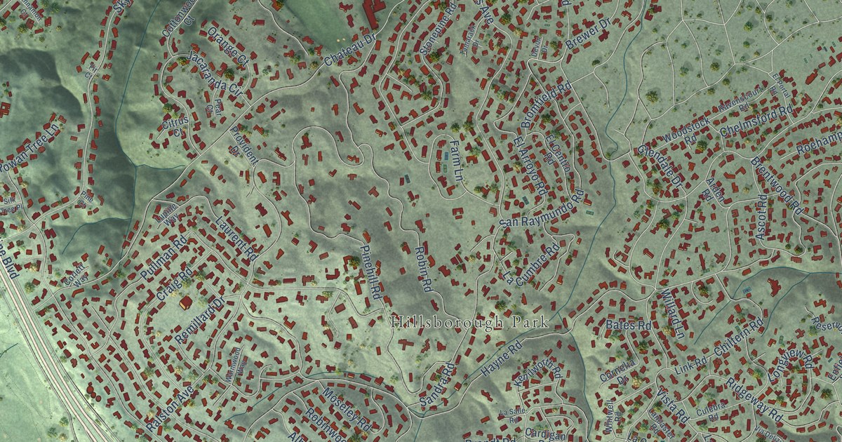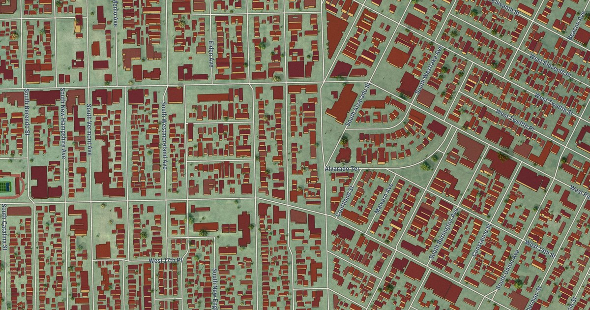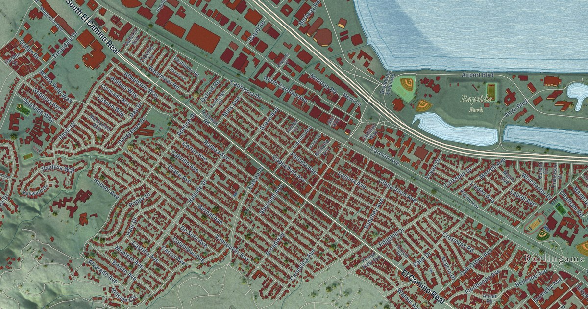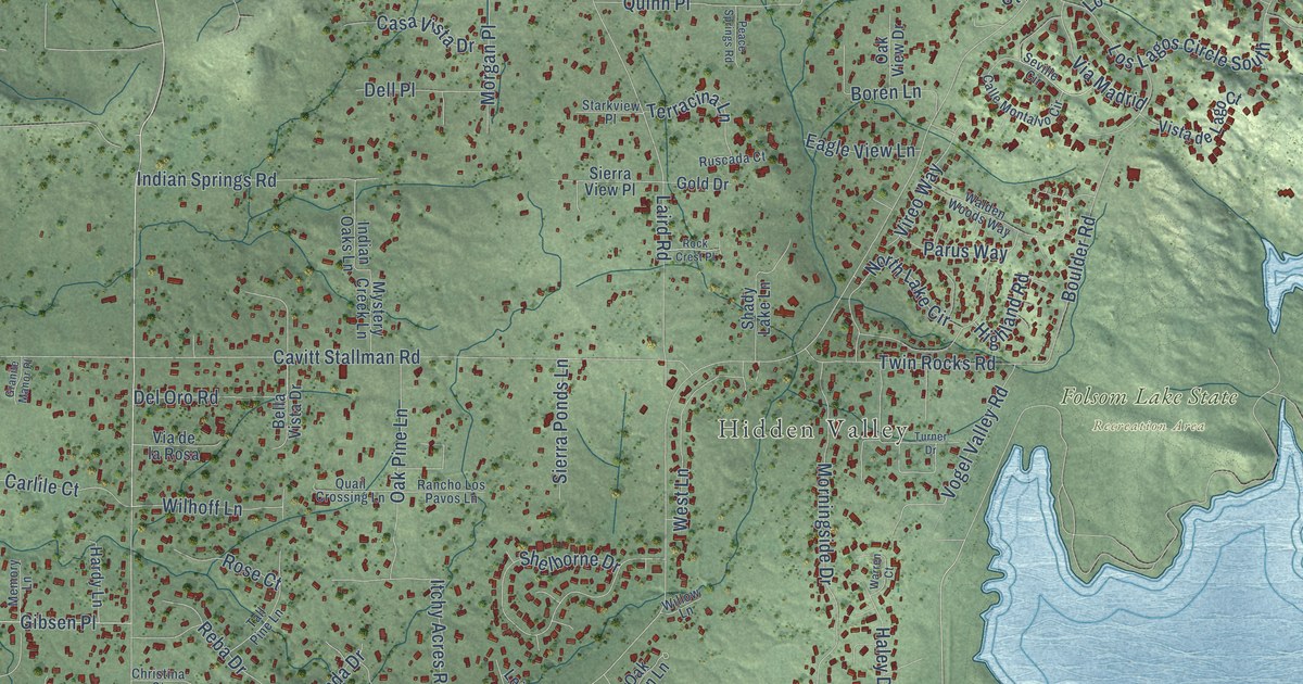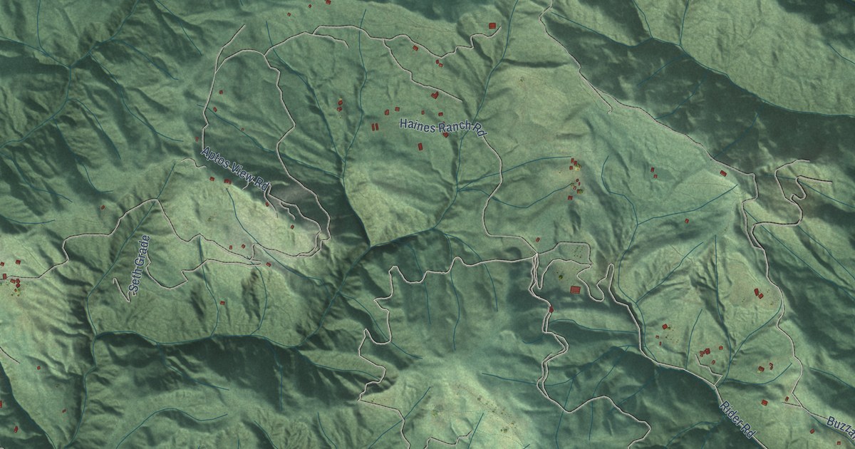
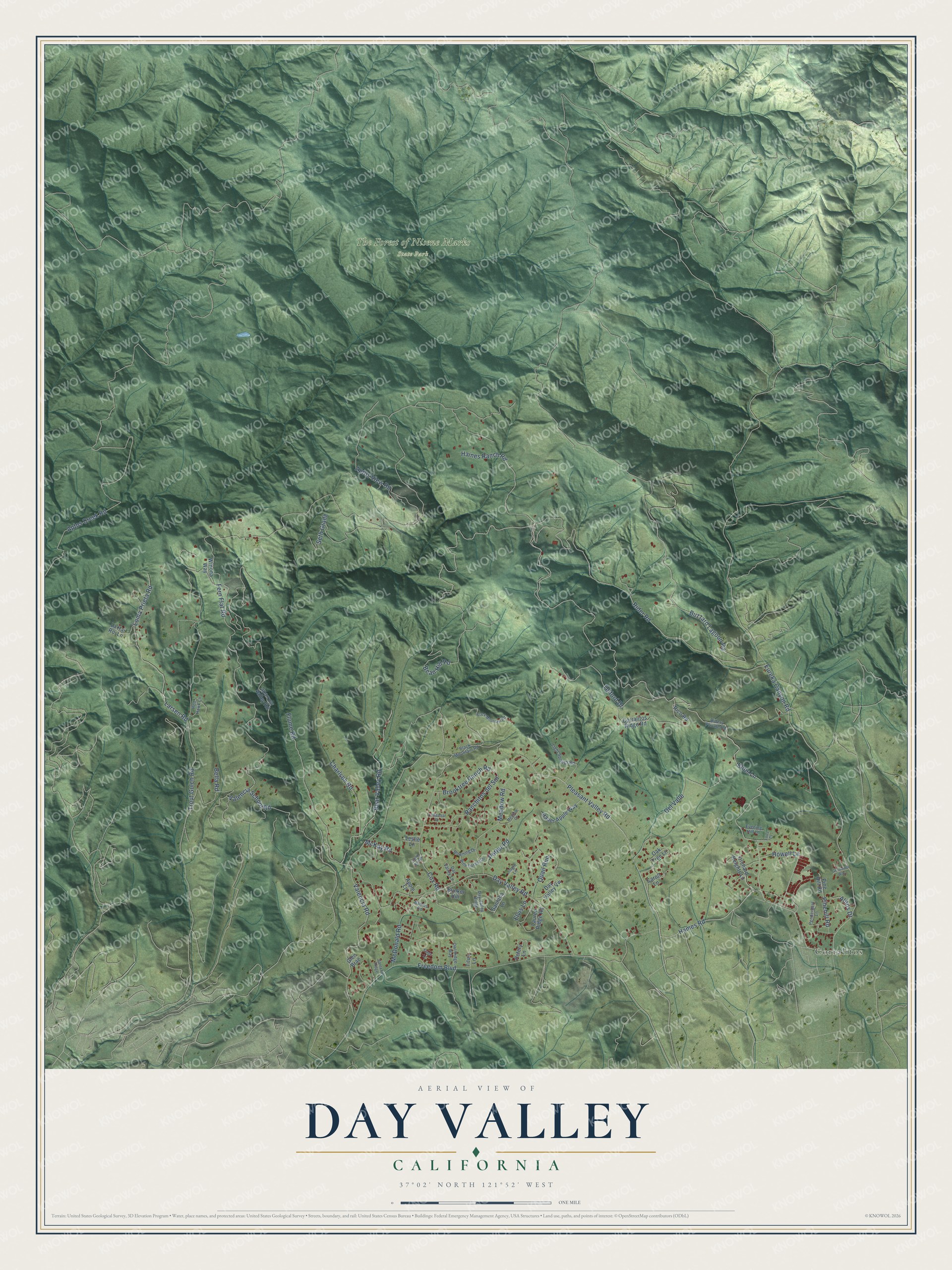
This beautifully detailed map of Day Valley, California was created in 2026 using aerial imagery combined with modern topographical, census, street and landmark data. It's a modern aerial view of Day Valley in Santa Cruz County, California, that combines modern data with a vintage aesthetic. The roads feature printed names, and if you look closely you can find your exact house accurately shown in its correct location.
Explore an aerial view of Day Valley, California
On this map you'll find The Forest of Nisene Marks State Park, Corralitos, Enos Lane, Hames Road, Pleasant Valley Road, Eureka Canyon Road, Fern Flat Road, Buzzard Lagoon Road, Rider Road, Day Valley Road, Quail Run, Aptos Creek Road, and more. Each red shape is a building, so zoom in on the preview and look for yours.
Here is a piece of Day Valley history. F. A. Hihn, a German immigrant drawn to California by gold, built Valencia Hall on Valencia Creek in the 1880s as a meeting place for workers at his new Valencia lumber mill. When the timber ran out the mill closed, and because Hihn sold lots and small farms to his millhands, the area became an apple growing district. Neighbors kept gathering in the hall for dances, meetings, church services and school graduations. In 1921 they organized the Valencia Farm Bureau there. That's from the National Register of Historic Places.
Day Valley is a community in Santa Cruz County. The Census Bureau counted 3,410 people here in 2020.
Take a closer look at the Day Valley map
Names on this map
These names are printed on this map.
Places: The Forest of Nisene Marks State Park and Corralitos.
Streets and roads: Enos Lane, Hames Road, Pleasant Valley Road, Eureka Canyon Road, Fern Flat Road, Buzzard Lagoon Road, Rider Road, Day Valley Road, Quail Run, Aptos Creek Road, Bean Hill Road, Trout Gulch Road.
More street names, A to Z
Alitos Drive, Apple Lane, Aptos View Road, Barnes Road, Bear Valley Road, Bella Road, Black Mountain Road, Brooktree Ranch Road, Bunker Hill, Caroll Lane, Chaparral Drive, Charlson Road, Corralitos Ridge Road, Cox Road, Day Valley Lane, Day Valley Ridge, Day Valley Vw, Del Valle, Downing Drive, Elvis Lane, Evening Hill Lane, Flume Road, Freedom Boulevard, Geronimo Way, Glen Brae, Haines Ranch Road, Hauer Apple Way, Howell Lane, Jingle Lane, La Hai Roi Lane, Larsen Road, Lauren Ridge Road, Leslie Lane, Light Springs Road, Loma Prieta Road, Lous Court, McDonald Road, McKay Road, Meadow Court, Meadow Road, Oak Tree Lane, Orchard Heights Lane, Owl Ridge Way, Pendergast Lane, Petery Lane, Pine Forest Drive, Pinehill Road, Pine Hill Road, Potter Road, Ranchitos del Sol, Red Hawk Lane, Rico Road, Riders Private Road, Sand Hill Road, Santa Fe Ridge, Santana Lane, Seth Grade, Sparrow Valley Road, Stage Lane, Telford Drive, Titus Lane, Valencia Road, Valencia School Road, Winona Way.
See it on a wall
The Day Valley map as a framed print. Swipe for more.


Created by KNOWOL in 2026. The buildings are small red shapes, the roads carry their printed names, and shaded relief shows the shape of the land. The title panel reads "AERIAL VIEW OF DAY VALLEY, CALIFORNIA" with 37°02' NORTH 121°52' WEST.
It suits a den, a classroom or a front hall, and it makes a gift for anyone with Day Valley roots. Open the preview and find the block you know. See sizes and frames for the Day Valley map.