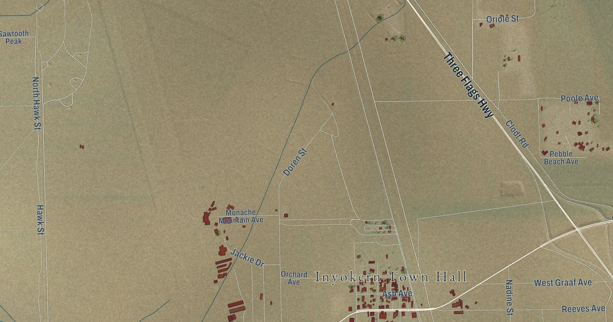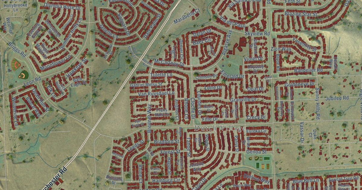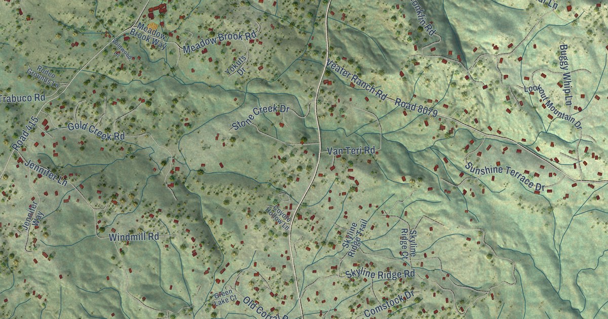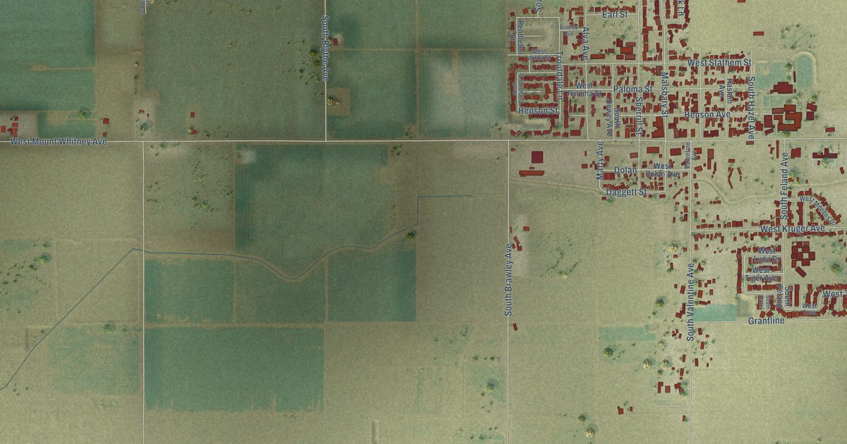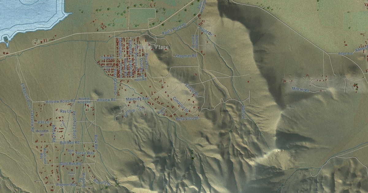
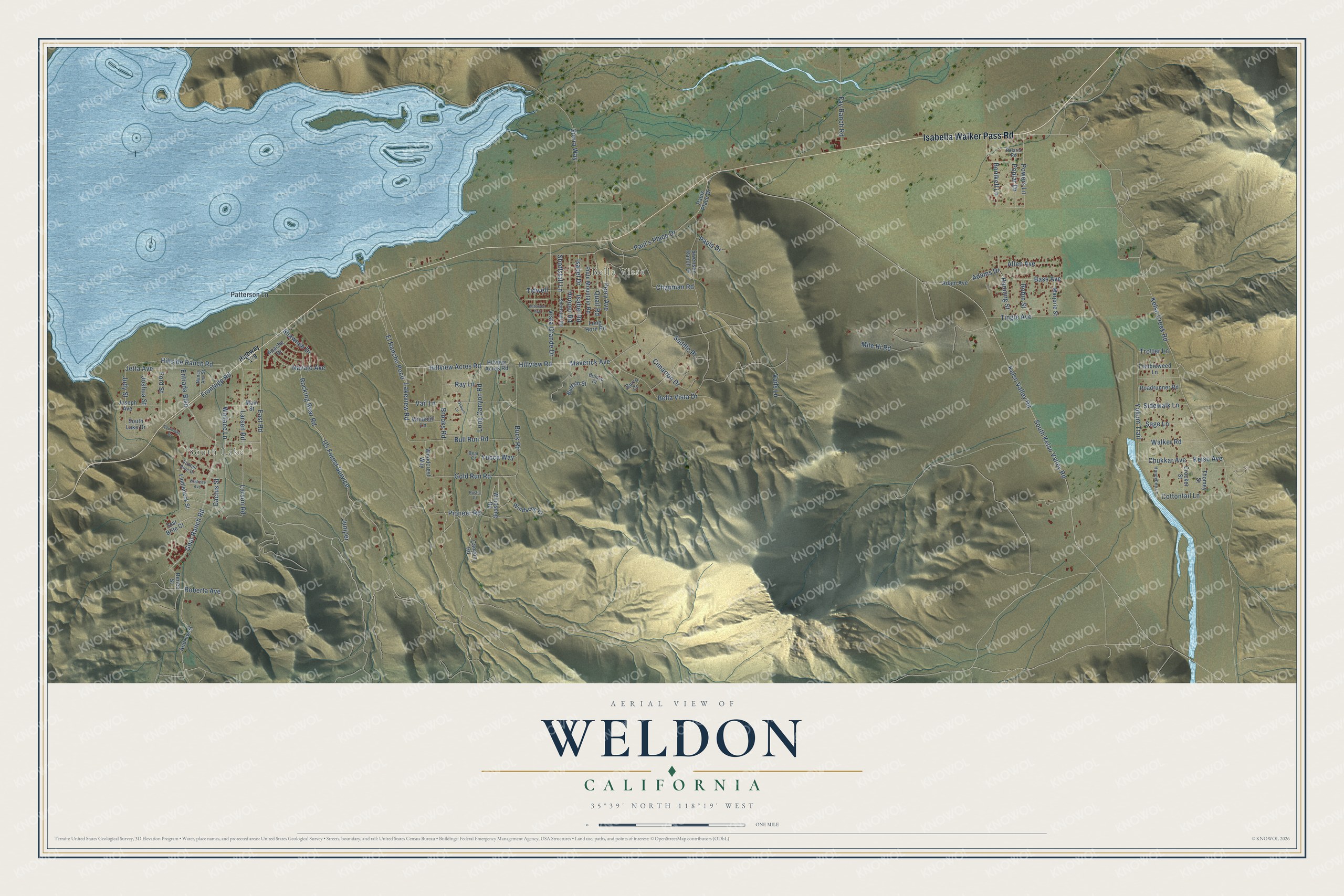
This beautifully detailed map of Weldon, California was created in 2026 using aerial imagery combined with modern topographical, census, street and landmark data. It's a modern aerial view of Weldon in Kern County, California, that combines modern data with a vintage aesthetic. The roads feature printed names, and if you look closely you can find your exact house accurately shown in its correct location.
Explore an aerial view of Weldon, California
On this map you'll find South Lake, Bella Vista, Isabella Walker Pass Road, East Road, Perry Avenue, Entrada Boulevard, Larsen Road, Hillview Acres Road, Isabel Drive, Isabel Road, Goat Ranch Road, Hillview Road, and more. Each red shape is a building, so zoom in on the preview and look for yours.
Weldon has a story worth telling. Weldon was named for William Weldon, one of the first settlers in the Walker Basin, who is said to have supplied beef to the gold miners at Keysville. That's from the Dictionary of California Land Names.
Weldon is a community in Kern County. The Census Bureau counted 2,303 people here in 2020.
Take a closer look at the Weldon map
Names on this map
These names are printed on this map.
Places: South Lake and Bella Vista.
Streets and roads: Isabella Walker Pass Road, East Road, Perry Avenue, Entrada Boulevard, Larsen Road, Hillview Acres Road, Isabel Drive, Isabel Road, Goat Ranch Road, Hillview Road, Maverick Avenue, Chapman Road.
More street names, A to Z
Adam Avenue, Adams Drive, Allen Avenue, Andrew Street, Apache Drive, Bass Avenue, Bear Court, Bella Vista Drive, Bonikell Lane, Bronco Court, Brooks Road, Buck Road, Buffalo Street, Bull Run Road, Burro Court, Cactus Street, Canyon Road, Chukkar Avenue, Cimarron Drive, Cottontail Lane, Crocker Street, El Rancho Poco, Fay Ranch Road, Fiddleneck Street, Ford Street, Foxtail Pine Drive, Frontage Road, Gold Run Road, Hanning Street, Highway 178, Hillside Ranch Road, Hilview Acres Road, Honeybee Lane, Hooper Road, Jetta Avenue, Joseph Avenue, Joshua Street, Judy Street, Juniper, Kelso Avenue, Kelso Creek Road, Kelso Valley Road, Lakeview Road, Larson Road, Long Canyon Road, Long Horn Road, Main Street, Marjorie Street, Mile Hi Road, Nancy Ann Street, Navajo Avenue, Osburn Lane, Patterson Lane, Paul's Place Drive, Pauls Drive, Pauls Place Drive, Petersen Avenue, Pioneer Road, Piute Mountain Road, Polaris Road, Poplar Drive, Powers Lane, Quail Road, Ray Lane, Renee Street, Roadrunner Road, Roberta Avenue, Robin Street, Rocking Bear Road, Rustic Court, Saddle Place, Sage Lane, Shawnee Drive, Shoffstall Lane, Shoffstall Road, Sidewalk Lane, Sierra Way, South Kelso Valley Road, South Lake Drive, Southlake Drive, Star Brite Court, Swenson Ranch Drive, Thomey Street, Tidwell, Tingle Avenue, Trotter Lane, Tumbleweed Lane, US Forest Service, Vail Lane, Vails Lane, Vista Grande Drive, Walker Road, Wallace Lane, Wildrose Avenue, Windmill Lane, Windsong Court, Windsong Road, Woodcrest Way, Yokum Trail, Yucca Way.
See it on a wall
The Weldon map as a framed print. Swipe for more.


Created by KNOWOL in 2026. The buildings are small red shapes, the roads carry their printed names, and shaded relief shows the shape of the land. The title panel reads "AERIAL VIEW OF WELDON, CALIFORNIA" with 35°39' NORTH 118°19' WEST.
It looks right in a kitchen, an office or a den, and it's a gift for anyone who grew up in Weldon or moved away. Open the preview and find your street. See sizes and frames for the Weldon map.