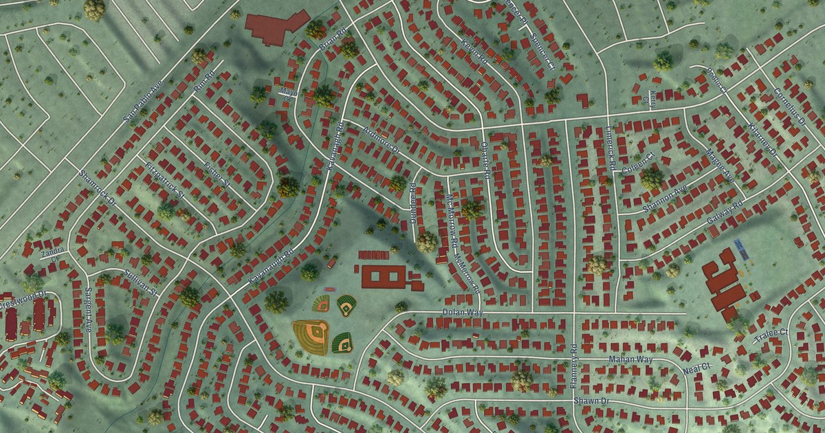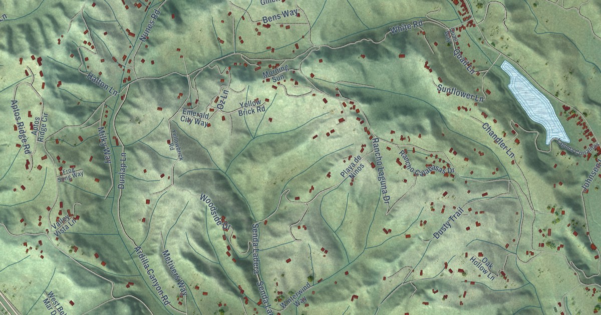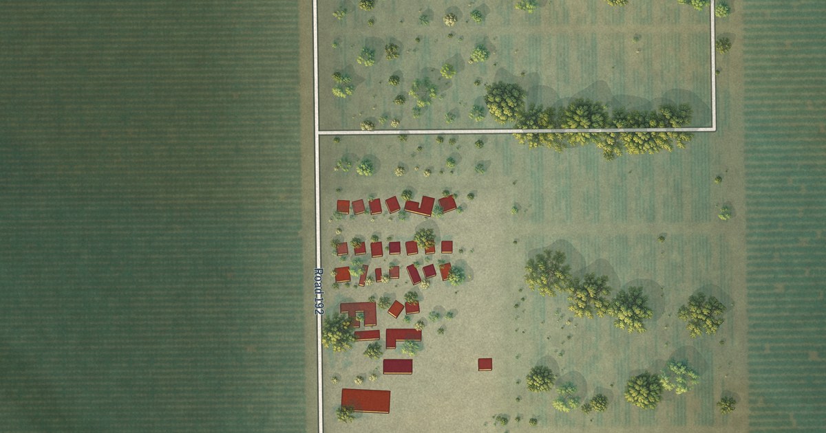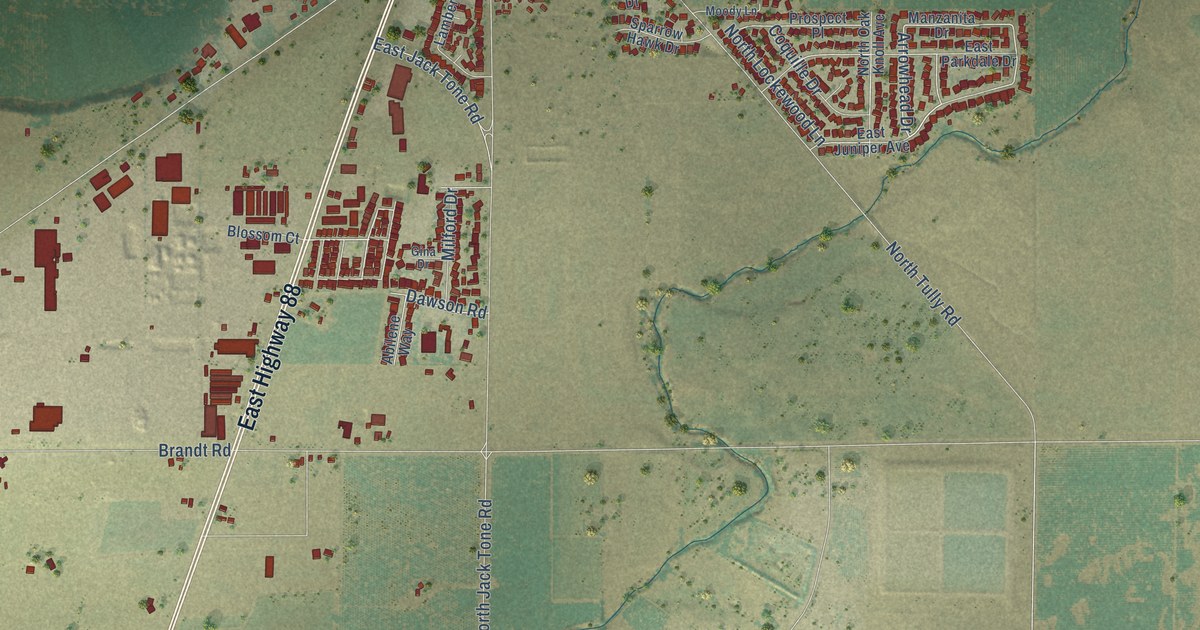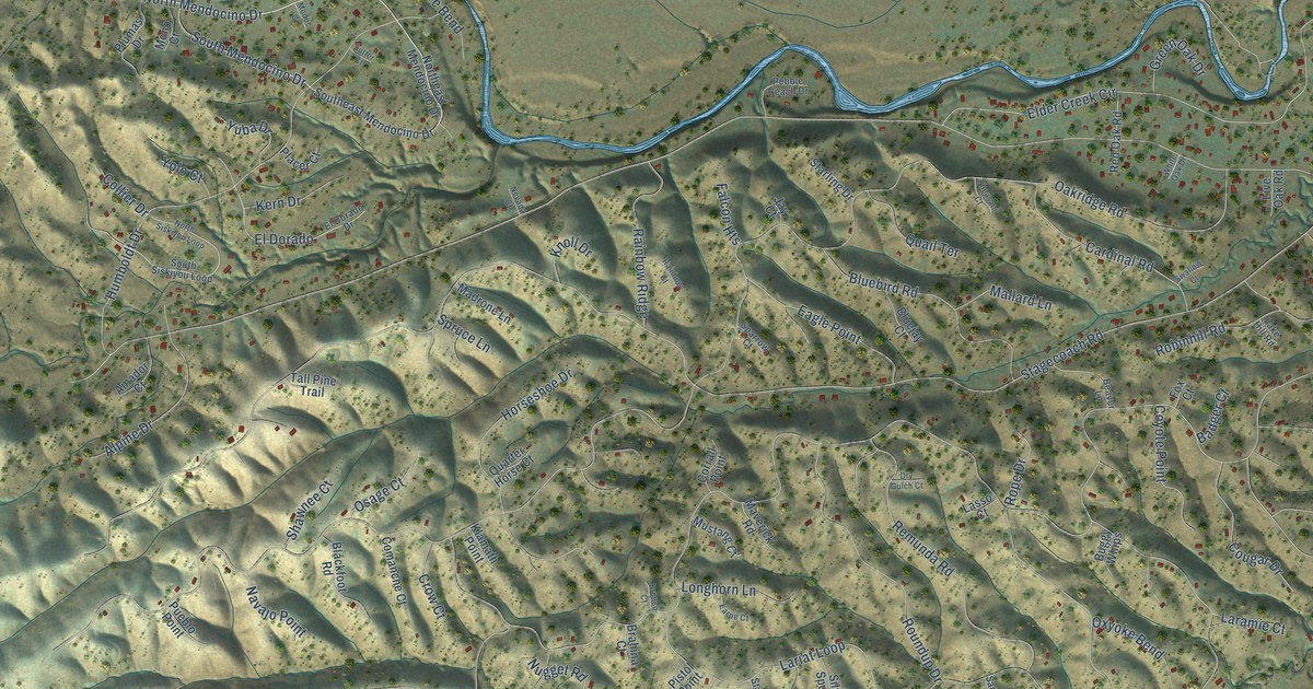
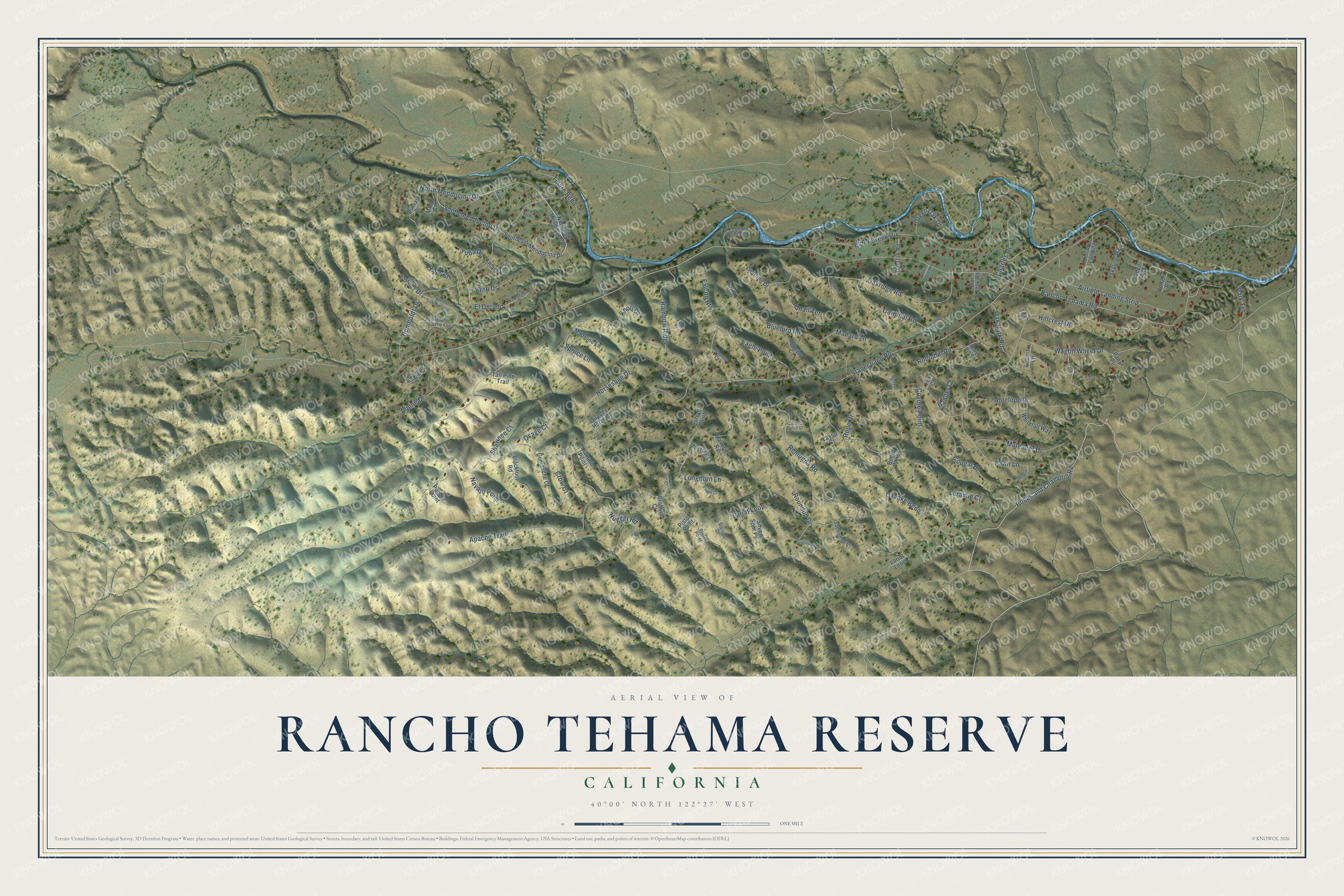
This beautifully detailed map of Rancho Tehama Reserve, California was created in 2026 using aerial imagery combined with modern topographical, census, street and landmark data. It's a modern aerial view of Rancho Tehama Reserve in Tehama County, California, that combines modern data with a vintage aesthetic. The roads feature printed names, and if you look closely you can find your exact house accurately shown in its correct location.
Explore an aerial view of Rancho Tehama Reserve, California
On this map you'll find North Mendocino Drive, Boggs and Champlin Road, Laramie Court, Stagecoach Road, Rancho Tehama Road, Hillcrest Drive, Oakridge Road, Lariat Loop, Humboldt Drive, Elder Creek Circle, Oxyoke Bend, Remunda Road, and more. Each red shape is a building, so zoom in on the preview and look for yours.
Rancho Tehama Reserve is a community in Tehama County. The Census Bureau counted 1,572 people here in 2020. Rancho Tehama Reserve sits about 5 miles north of Flournoy, 10 miles northeast of Paskenta and 14 miles west of Richfield. The map prints the town name in its title panel, with the coordinates below it.
Take a closer look at the Rancho Tehama Reserve map
Names on this map
These names are printed on this map.
Streets and roads: North Mendocino Drive, Boggs and Champlin Road, Laramie Court, Stagecoach Road, Rancho Tehama Road, Hillcrest Drive, Oakridge Road, Lariat Loop, Humboldt Drive, Elder Creek Circle, Oxyoke Bend, Remunda Road.
More street names, A to Z
Airfield Landing Strip, Alpine Drive, Amador Court, Antelope Drive, Apache Trail, Badger Court, Beaver Lane, Blackfoot Road, Bluebird Road, Bluejay Court, Bobcat Lane, Brahina Court, Bronco Court, Buggy Whips, Cardinal Road, Charles Drive, Collier Drive, Comanche Court, Corrall Point, Cougar Drive, Coyote Point, Crazy Horse Ridge, Crow Court, Dry Gulch Court, Eagle Point, Earpe Court, El Dorado, El Dorado Drive, Falcon Heights, Fawn Lane, Fox Court, Green Oak Drive, Horseshoe Drive, Jay Court, Kern Drive, Klamath Point, Knoll Drive, Lake Hill Road, Lariot Loop, Lasso Court, Leisure Landing, Live Oak Road, Longhorn Lane, Madrone Lane, Mallard Lane, Maverick Road, Modoc Court, Mono Court, Muledeer Drive, Mustang Court, Navajo Point, Nevada Court, Northeast Mendocino Drive, North Siskiyou Loop, Nugget Road, Oak Park Road, Osage Court, Oxcart Lane, Park Terrace, Pebble Beach Drive, Pheasant Court, Pinto Point, Pistol Point, Placer Court, Plumas Drive, Pony Place, Pueblo Point, Quail Terrace, Quarter Horse Court, Rainbow Court, Rainbow Ridge, Red Oak Road, Robinhill Road, Rodger Road, Rope Drive, Roundup Drive, Saddlebag Court, Saddlehorn Court, Shawnee Court, Silver Spur Ps, Skyline Way, Smith Road, Southeast Mendocino Drive, South Mendocino Drive, South Siskiyou Loop, Sparrow Court, Spruce Lane, Stallion Drive, Starling Drive, Sutter Court, Swallow Court, Tall Pine Trail, Tulare Bend, Wagon Wheel Drive, White Oak Drive, Whitetail Way, Wilco Way, Yolo Court, Yuba Drive.
See it on a wall
The Rancho Tehama Reserve map as a framed print. Swipe for more.


Created by KNOWOL in 2026. The buildings are small red shapes, the roads carry their printed names, and shaded relief shows the shape of the land. The title panel reads "AERIAL VIEW OF RANCHO TEHAMA RESERVE, CALIFORNIA" with 40°00' NORTH 122°27' WEST.
It suits a den, a classroom or a front hall, and it makes a gift for anyone with Rancho Tehama Reserve roots. Open the preview and find the block you know. See sizes and frames for the Rancho Tehama Reserve map.