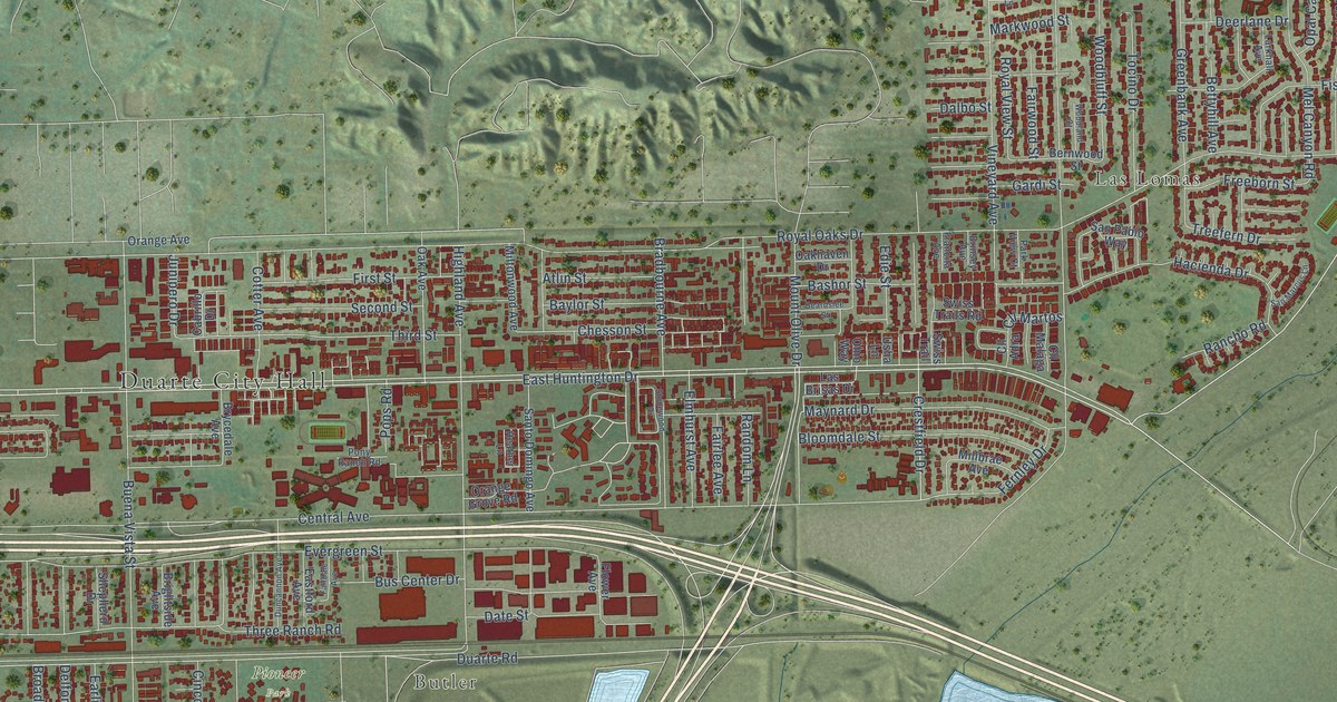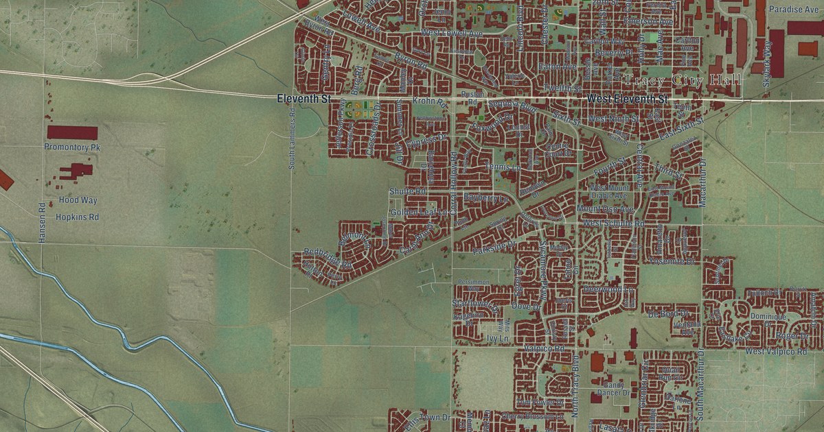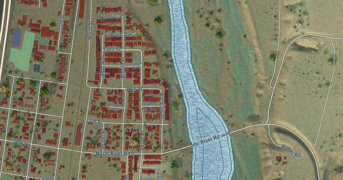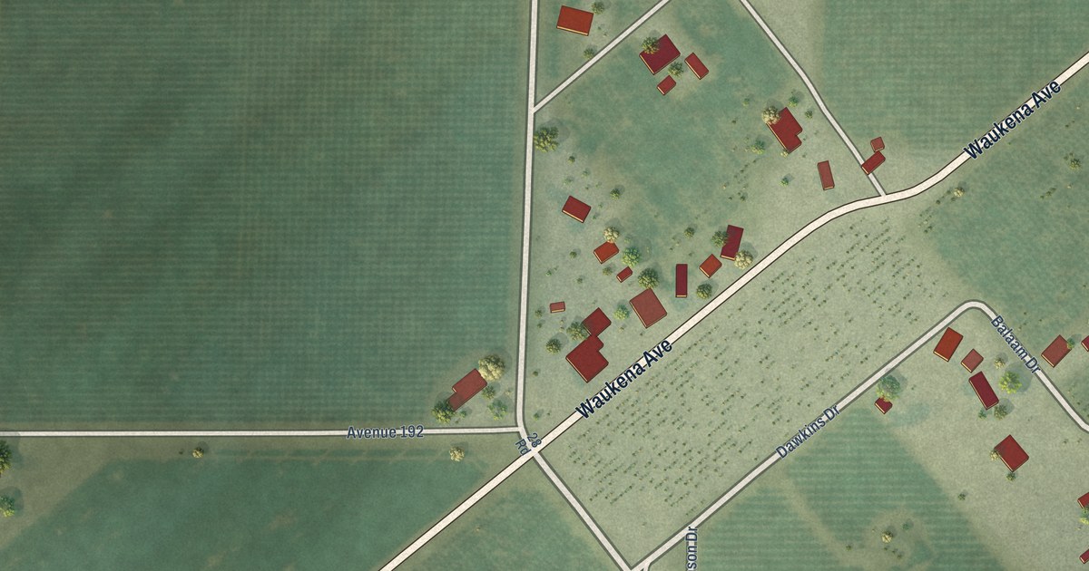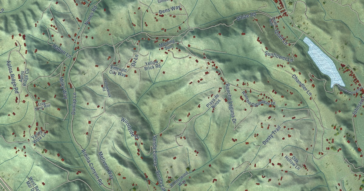
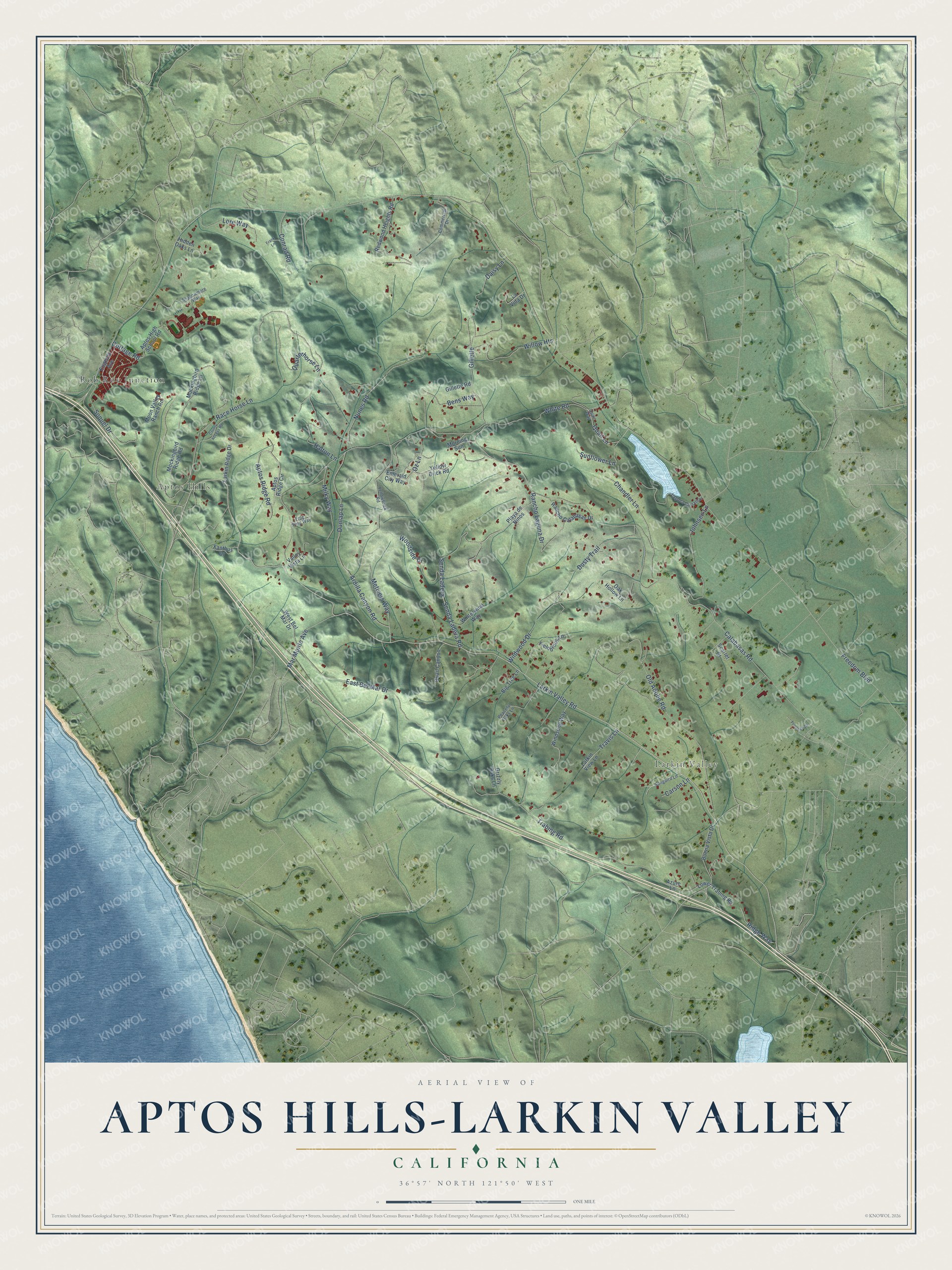
This beautifully detailed map of Aptos Hills-Larkin Valley, California was created in 2026 using aerial imagery combined with modern topographical, census, street and landmark data. It's a modern aerial view of Aptos Hills-Larkin Valley in Santa Cruz County, California, that combines modern data with a vintage aesthetic. The roads feature printed names, and if you look closely you can find your exact house accurately shown in its correct location.
Explore an aerial view of Aptos Hills-Larkin Valley, California
On this map you'll find Aptos Hills, Larkin Valley, Rob Roy Junction, Larkin Valley Road, Senda Ladera Road, Woodside Drive, Freedom Boulevard, Aptos Ridge Road, Rancho Laguna Drive, Calabasas Road, White Road, Trabing Road, and more. Each red shape is a building, so zoom in on the preview and look for yours.
Here is a piece of Aptos Hills-Larkin Valley history. Joaquin Castro came to California as a boy of 6 with his father, a soldier in the Anza party of 1776. In 1833 he was granted Rancho San Andres on the condition that he live on the land and build a house on it. The two-story adobe he built for his second wife is one of the few adobes left in the county from the Hispanic era. It is the only building of its Monterey Colonial type left in Santa Cruz County. That's from the National Register of Historic Places.
Aptos Hills-Larkin Valley is a community in Santa Cruz County. The Census Bureau counted 2,383 people here in 2020.
Take a closer look at the Aptos Hills-Larkin Valley map
Names on this map
These names are printed on this map.
Places: Aptos Hills, Larkin Valley and Rob Roy Junction.
Streets and roads: Larkin Valley Road, Senda Ladera Road, Woodside Drive, Freedom Boulevard, Aptos Ridge Road, Rancho Laguna Drive, Calabasas Road, White Road, Trabing Road, Halton Lane, Ardilla Canyon Road, Dunlap Lane.
More street names, A to Z
Aptos High School Road, Aptos Ridge Circle, Azure Lane, Bens Way, Big Tree Lane, Buena Vista Drive, Carson Lane, Chandler Lane, Commercial Drive, Conrad Road, Cottage Road, County Access Road, Daisy Lane, Dusty Trail, East Bel Mar Drive, Emerald City Way, Eugenia Avenue, Fieldbrook Lane, Flintridge Drive, Frank Lane, Frog Song Way, Gillette, Gillette Road, Grizzly Oaks Lane, Hidden Oaks Lane, Johnsen Lane, Laguna Corralitos, Larkin Ridge Drive, Larkin View Lane, La Vida Drive, Lore Way, Lower Trabing Road, Mar Monte Avenue, Metivers Way, Milky Way, Mockingbird Ridge Lane, Mockingbird Ridge Road, Moon Valley Ranch Road, Morning Sun, Nunes Road, Oak Hollow Lane, Old Adobe Road, Oz Lane, Peaceful Oaks Lane, Playa de Ninos, Quail Canyon, Quail Lane, Quail Way, Quarterhorse Lane, Race Horse Lane, Rancho Calabasas Drive, Redwood Heights Road, Ridge Way, Scarlet Court, Senda Ladera, Shadowmere Way, Songbird Lane, Soquel Drive, Sunflower Lane, Travis Lane, Valley Vista Lane, West Bel Mar Drive, Wildwood Drive, Willow Heights, Windsong Way, Winterwind Way, Xanthus Drive, Yellow Brick Road, Yellowbrick Road.
See it on a wall
The Aptos Hills-Larkin Valley map as a framed print. Swipe for more.


Created by KNOWOL in 2026. The buildings are small red shapes, the roads carry their printed names, and shaded relief shows the shape of the land. The title panel reads "AERIAL VIEW OF APTOS HILLS-LARKIN VALLEY, CALIFORNIA" with 36°57' NORTH 121°50' WEST.
It suits a den, a classroom or a front hall, and it makes a gift for anyone with Aptos Hills-Larkin Valley roots. Open the preview and find the block you know. See sizes and frames for the Aptos Hills-Larkin Valley map.