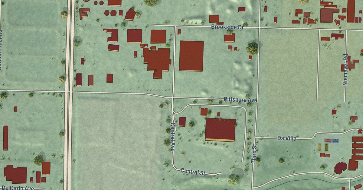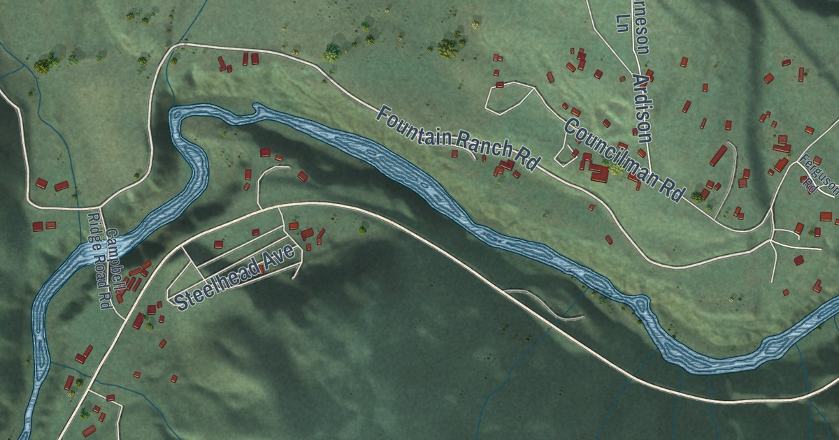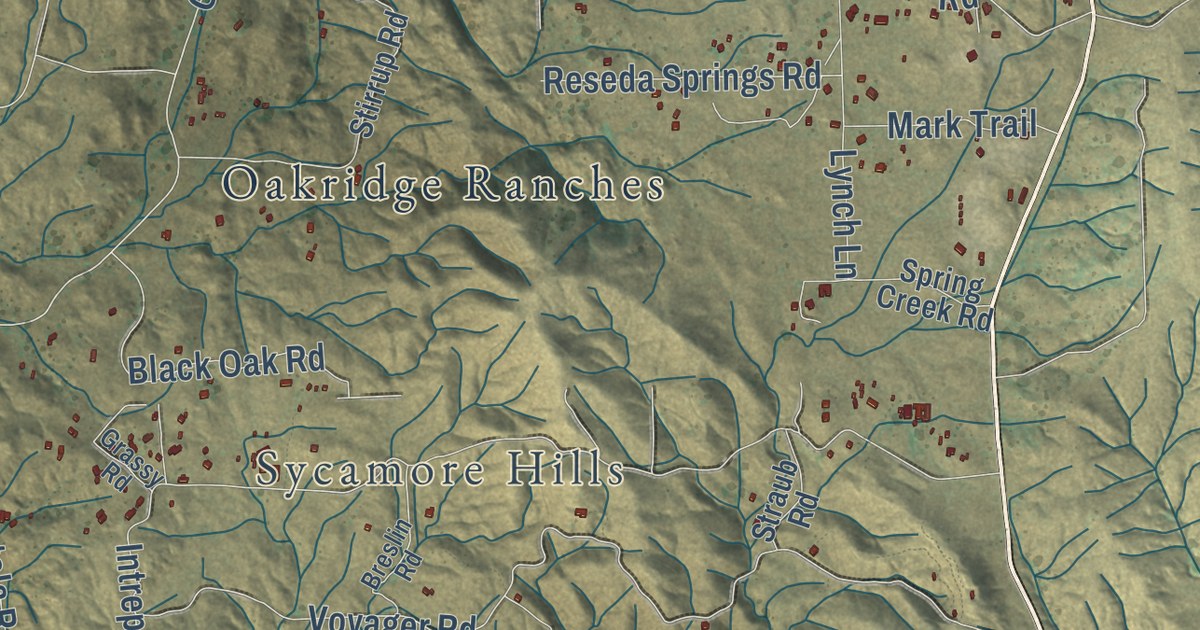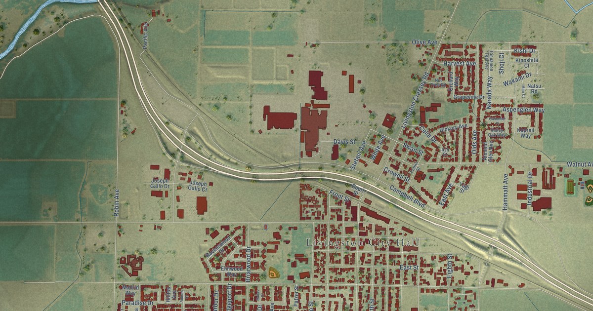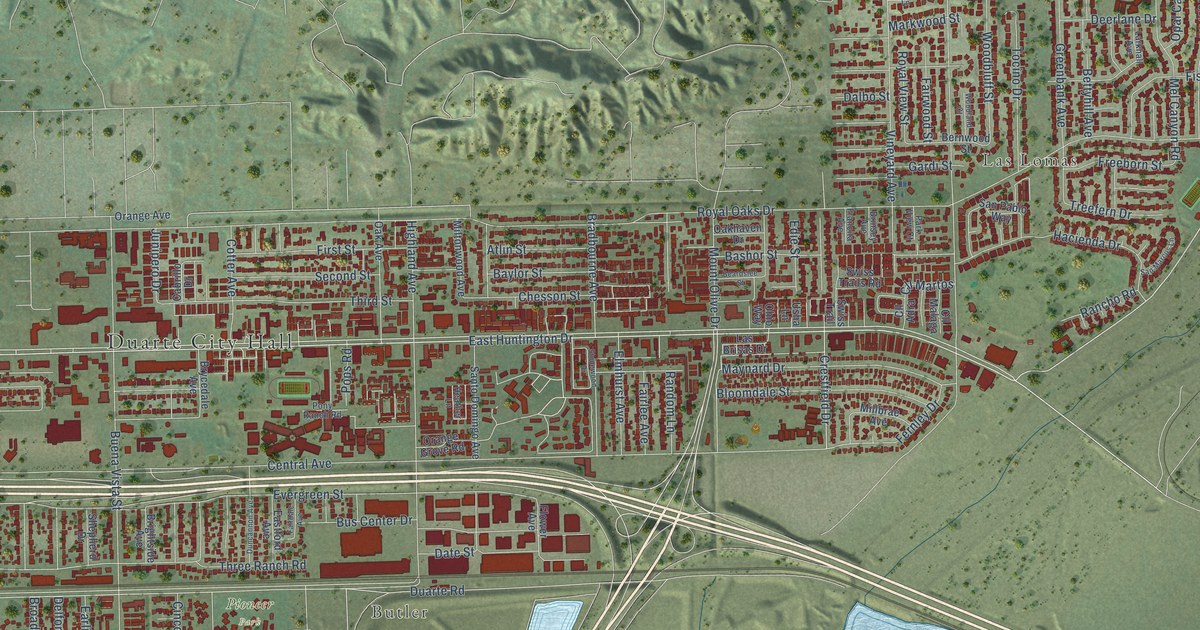
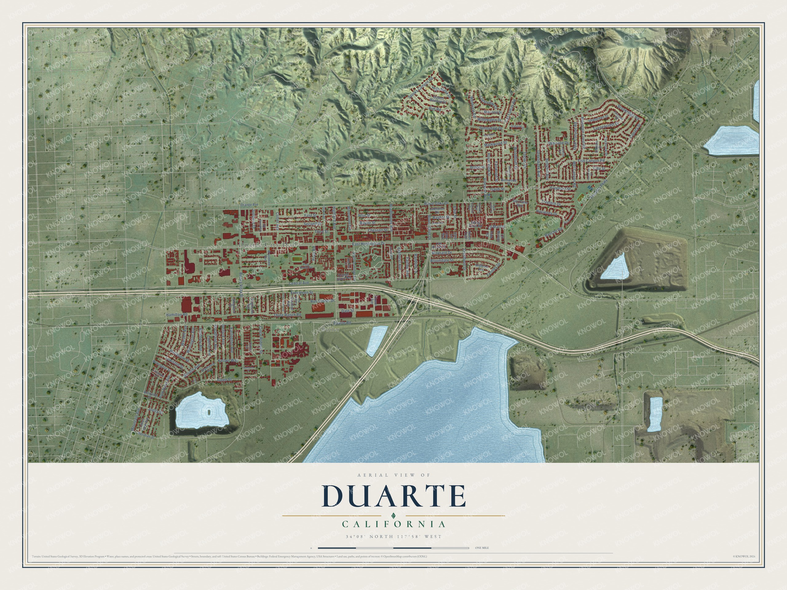
This beautifully detailed map of Duarte, California was created in 2026 using aerial imagery combined with modern topographical, census, street and landmark data. It’s a one-of-a-kind view of Duarte that combines accurate data with a vintage aesthetic. The map shows every building in its true location, many of the roads carry their names, and the shaded topographic relief shows the shape of the land.
Explore an aerial view of Duarte, California
On the map you’ll find Duarte City Hall, Butler, Las Lomas, and Pioneer Park, along with East Huntington Drive, Encanto Parkway, Crestfield Drive, Fernley Drive, Duarte Road, Central Avenue, Evergreen Street, Royal Oaks Drive, and more. If you look closely you can even find your house accurately drawn in its correct location. Zoom in on the preview to look for yours.
Did you know this about Duarte, California?
From the Historical Marker Database: "Andres Duarte, his wife Gertrudis, and their son Felipe Santiago, resided in a small adobe called the Homestead, located on what is now Tocino Drive in Duarte."
Take a closer look at the Duarte map
Street and place names on the Duarte, California map
These names are printed on the map of Duarte, California.
Places: Duarte City Hall, Butler, Las Lomas and Pioneer Park.
Streets and roads: East Huntington Drive, Encanto Parkway, Crestfield Drive, Fernley Drive, Duarte Road, Central Avenue, Evergreen Street, Royal Oaks Drive, Buena Vista Street, Las Lomas Road, Mountain Avenue, Maynard Drive.
More street names, A to Z
Atlin Street, Bashor Street, Baylor Street, Beardslee Street, Beckville Street, Bernwood Street, Bettyhill Avenue, Bloomdale Street, Bradbourne Avenue, Bradbury Avenue, Brightside Avenue, Brinsey Avenue, Broach Avenue, Broadland Avenue, Brookdale Lane, Brookridge Road, Brycedale Avenue, Bus Center Drive, Cabrillo Drive, Capehart Avenue, Chesson Street, Cinco Robles Drive, Cinnamon Lane, Citrus Lane, Citrus View Avenue, Clarkview Drive, Cll Adra, Cll Malaga, Cll Martos, Conata Street, Cotter Avenue, Crestview Court, Dalbo Street, Date Street, Deerlane Drive, Delford Avenue, Duncannon Avenue, Earlington Avenue, Eastford Avenue, Edie Street, Elda Street, Elkhorn Drive, Elmhurst Avenue, Fairdale Avenue, Fairlee Avenue, Fairwood Street, Fallcreek Road, First Street, Fish Canyon Road, Flower Avenue, Francita Avenue, Freeborn Street, Galen Street, Gardi Street, Golden Meadow Drive, Greenbank Avenue, Hacienda Drive, Hamilton Road, Heather Lane, Highland Avenue, High Mesa Drive, Hurstview Street, Ivory Drive, Joella Street, Junipero Drive, Kellwil Way, Larkhall Avenue, Las Brisas Drive, Lewiston Street, Markwood Street, Mel Canyon Road, Meridian Street, Millbrae Avenue, Miltonwood Avenue, Mountain Crest Road, Mount Olive Drive, Newington Street, Oak Avenue, Oakhaven Drive, Ohio Way, Opal Canyon Road, Orange Avenue, Orange Grove Road, Park Rose Avenue, Park View Court, Pony Ranch Road, Pops Road, Rancho Road, Random Lane, Rim Road, Royal View Street, San Marcus Lane, San Pablo Way, Santo Domingo Avenue, Second Street, Shadylawn Drive, Shepherd Drive, Spinks Canyon Road, Starcrest Drive, Starhaven Avenue, Starhaven Street, Starpine Drive, Stonewood Drive, Sunnydale Drive, Swiss Trail, Swiss Trails Road, Tancanyon Road, Tannencrest Drive, Third Street, Three Ranch Road, Tocino Drive, Treefern Drive, Usha Lane, Van Tassel Mtwy, Vineyard Avenue, Wardell Avenue, Warrington Avenue, Westvale Road, Willowglen Drive, Woodbluff Street, Woodland Court.
See the Duarte, California map on a wall
The Duarte map as an 18 x 24 inch print in a black frame.

This beautifully detailed map of Duarte makes an attractive addition to your office, library, or den, and it can even be used to teach children the geography and history of the area. It also makes a great gift for anyone who grew up in Duarte or moved away. When you’re done exploring, click here to get your copy of the Duarte map.