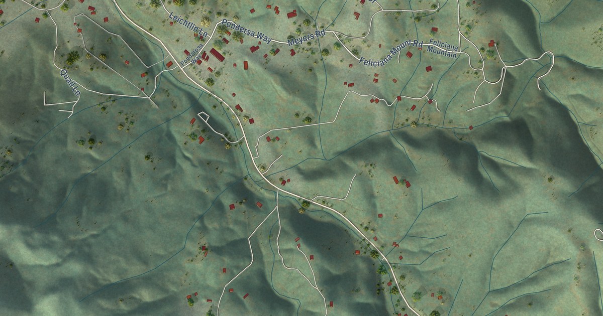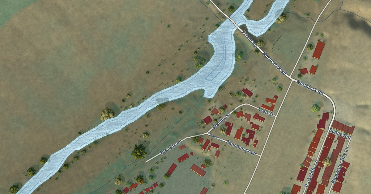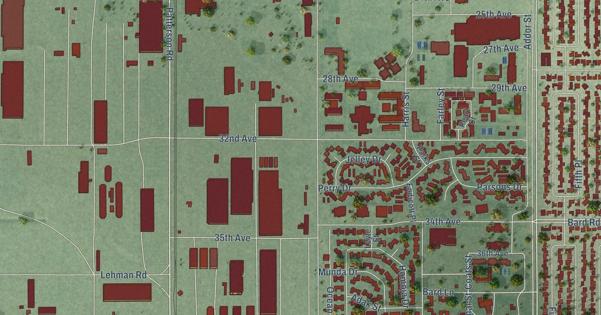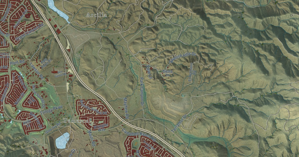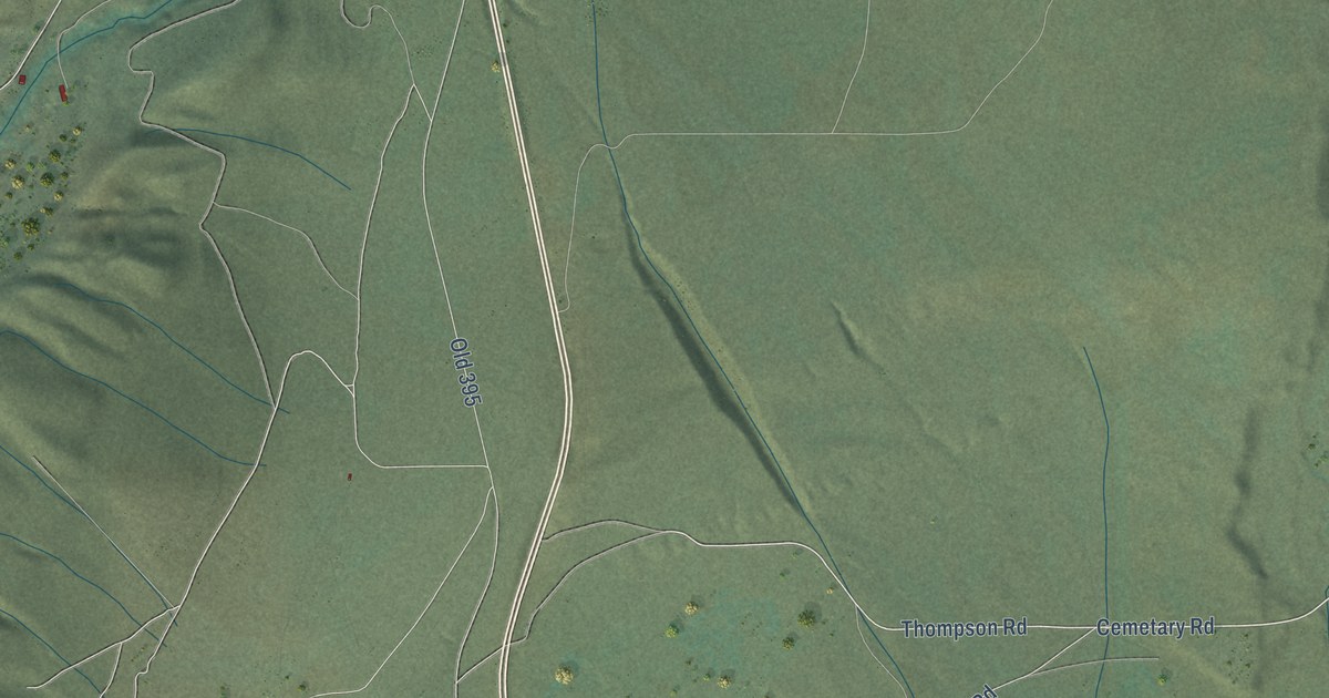
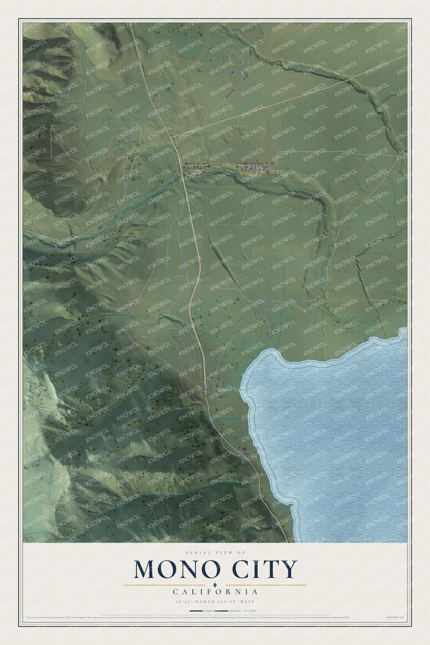
This beautifully detailed map of Mono City, California was created in 2026 using aerial imagery combined with modern topographical, census, street and landmark data. It's a modern aerial view of Mono City in Mono County, California, that combines modern data with a vintage aesthetic. The roads feature printed names, and if you look closely you can find your exact house accurately shown in its correct location.
Explore an aerial view of Mono City, California
On this map you'll find Mono Lake, East Mono Lake Drive, Cemetary Road, Thompson Road, Lundy Lake Road, Old 395, Mill Creek Powerhouse Road, Cemetery Road, Goat Ranch Cutoff, Wilson Creek Road, Twin Lakes Drive, Peeler Lake Drive, and more. Each red shape is a building, so zoom in on the preview and look for yours.
Every town has a first chapter, and Mono City is no exception. Wallis and Venita McPherson opened the Mono Inn in 1922, and Venita started the first Mark Twain Days there in 1928. It grew into a two-day festival of foot races, boat races and swimming races, the swims meant to correct the misleading picture of Mono Lake water that Twain had given. One year the festival held a horse race out around a buoy in the lake, and the only ones to make it around were a pair of local kids with a burro. That's from The Sheet newspaper.
Mono City is a community in Mono County. The Census Bureau counted 224 people here in 2020.
Take a closer look at the Mono City map
Names on this map
These names are printed on this map.
Places: Mono Lake.
Streets and roads: East Mono Lake Drive, Cemetary Road, Thompson Road, Lundy Lake Road, Old 395, Mill Creek Powerhouse Road, Cemetery Road, Goat Ranch Cutoff, Wilson Creek Road, Twin Lakes Drive, Peeler Lake Drive, Conway Road.
More street names, A to Z
Hansen Road, Mc Pherson Subdivision, Mono Inn Drive, Mono Inn Road.
See it on a wall
The Mono City map as a framed print. Swipe for more.


Created by KNOWOL in 2026. The buildings are small red shapes, the roads carry their printed names, and shaded relief shows the shape of the land. The title panel reads "AERIAL VIEW OF MONO CITY, CALIFORNIA" with 38°02' NORTH 119°09' WEST.
Hang it in the hallway, the office or the cabin, or give it to someone who left Mono City and still calls it home. Open the preview and look for a street you know. See sizes and frames for the Mono City map.