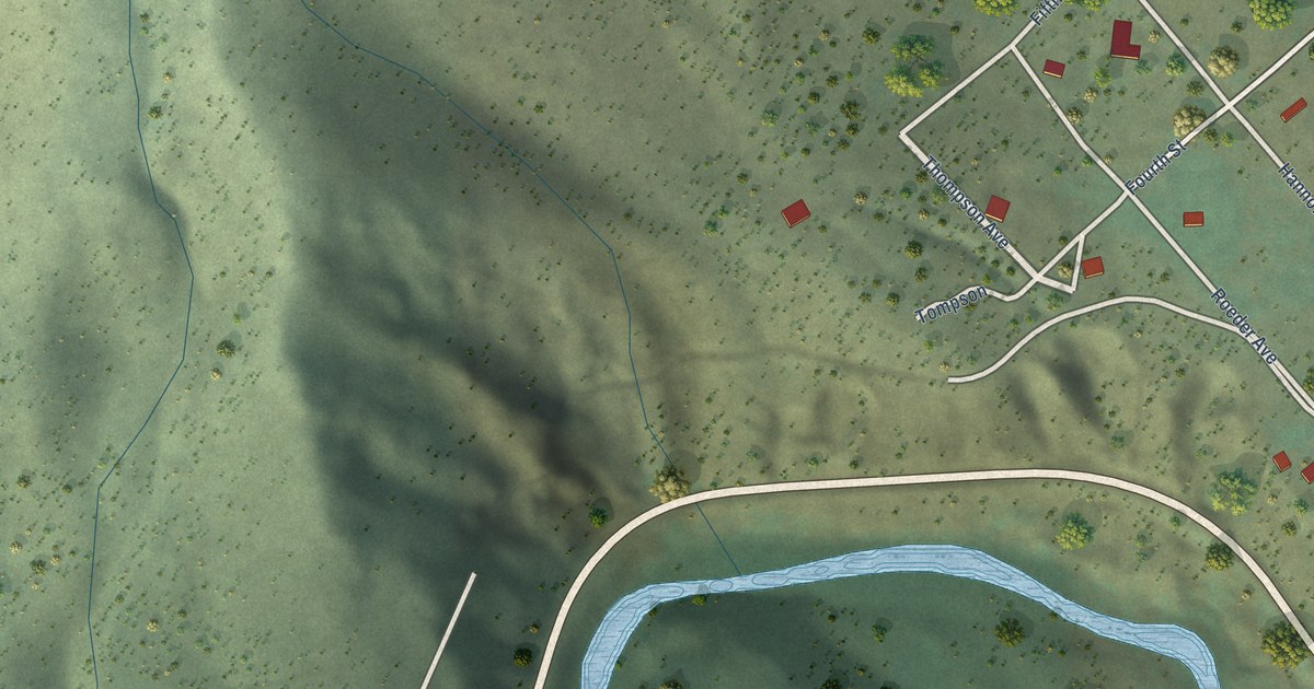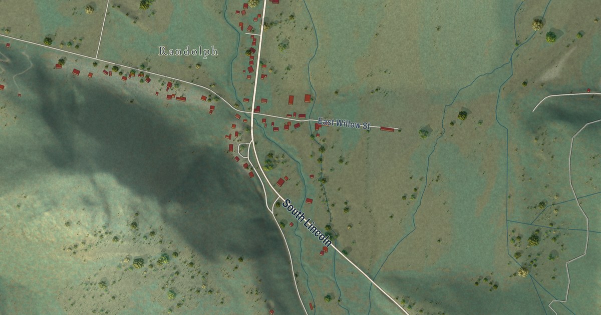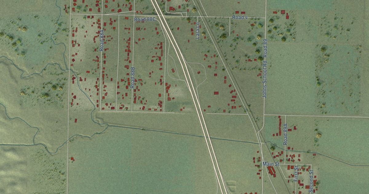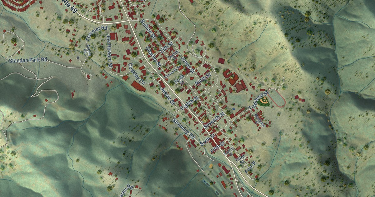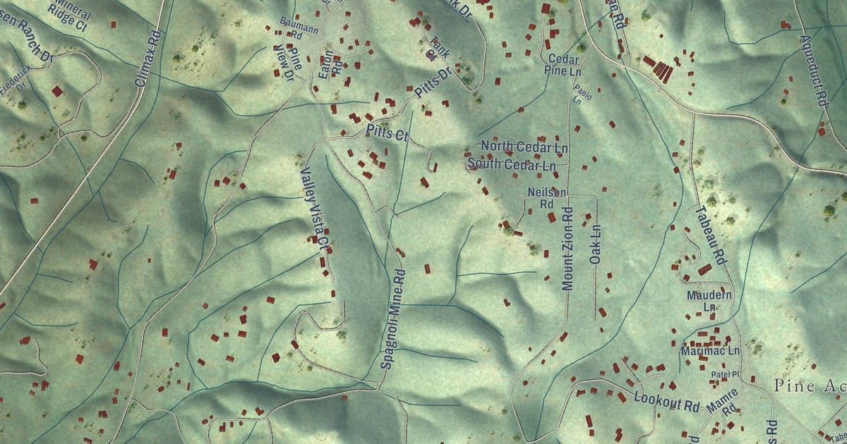
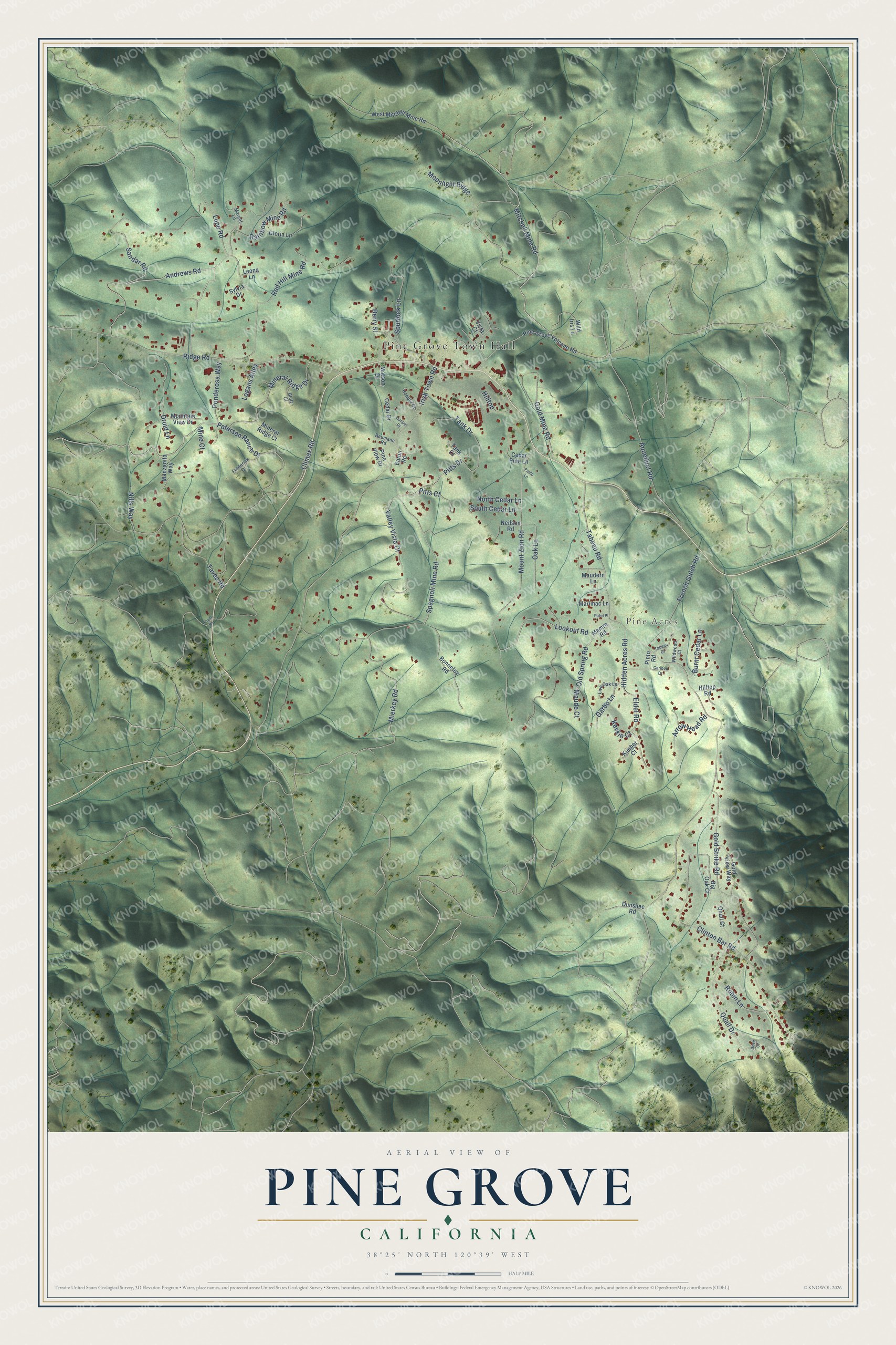
This beautifully detailed map of Pine Grove, California was created in 2026 using aerial imagery combined with modern topographical, census, street and landmark data. It's a modern aerial view of Pine Grove in Amador County, California, that combines modern data with a vintage aesthetic. The roads feature printed names, and if you look closely you can find your exact house accurately shown in its correct location.
Explore an aerial view of Pine Grove, California
On this map you'll find Pine Grove Town Hall, Pine Acres, Mitchell Mine Road, Andrews Road, Old Spring Road, Sandar Road, Lookout Road, Pitts Drive, Quail Drive, Clinton Bar Road, Tabeau Road, Irish Town Road, and more. Each red shape is a building, so zoom in on the preview and look for yours.
Pine Grove has a story worth telling. By 1881 the timber had been cut away for some 35 miles back from the foothills, much of it hauled by hundreds of teams to brace the mines underground. At Pine Grove, though, enough pines were left to give a plausible reason for the name of the town. At 2,675 feet its woods were mostly oak and pine, with sugar pines towering above the rest, and snow sometimes fell a foot deep. That's from the 1881 History of Amador County.
Pine Grove is a community in Amador County. The Census Bureau counted 2,891 people here in 2020.
Take a closer look at the Pine Grove map
Names on this map
These names are printed on this map.
Places: Pine Grove Town Hall and Pine Acres.
Streets and roads: Mitchell Mine Road, Andrews Road, Old Spring Road, Sandar Road, Lookout Road, Pitts Drive, Quail Drive, Clinton Bar Road, Tabeau Road, Irish Town Road, Spagnoli Mine Road, Climax Road.
More street names, A to Z
Aqueduct Road, Arrow Head Road, Baumann Road, Berry Street, Big Oak Court, Bluff Court, Bonnefoy Road, Burnt Cedar Lane, Caribou Drive, Cedar Drive, Cedar Pine Lane, Dove Court, Druid Lane, Dunshee Road, Eaton Road, Eldel Road, Frederick Drive, French Gulch Road, Garbo Lane, Gloria Lane, Gold Mine Road, Gold Strike Road, Gold View Way, Hidden Acres Road, Hilltop, Hilltop Road, Hooper Court, Hooper Drive, Kevkie Court, Kimber Court, Leona Lane, Live Oak Lane, Logans Alley, Lupe Road, Mamre Road, Manzanita Way, Margot Lane, Marimac Lane, Matson Drive, Maude Court, Maudern Lane, Mierkey Road, Mine Court, Mineral Ridge Court, Mineral Ridge Drive, Moonlight Ridge, Mountain View Drive, Mount Zion Road, Neilson Road, Nills Way, North Cedar Lane, Oak Lane, Paelo Lane, Patel Place, Petersen Ranch Drive, Pine Grove Volcano Road, Pine View Drive, Pinto Road, Pitts Court, Ponderosa Way, Quail Court, Rainbow Mine Road, Red Hill Mine Road, Ridge Road, Robin Lane, South Cedar Lane, Spurlock Lane, Sylvia Drive, Tabeau Drive, Tank Court, Tank Drive, Taves Road, Toyon Road, Valley Vista Court, Vista Court, West Mitchell Mine Road, Wild Iris Lane, Wildwood Court.
See it on a wall
The Pine Grove map as a framed print. Swipe for more.


Created by KNOWOL in 2026. The buildings are small red shapes, the roads carry their printed names, and shaded relief shows the shape of the land. The title panel reads "AERIAL VIEW OF PINE GROVE, CALIFORNIA" with 38°25' NORTH 120°39' WEST.
It looks right in a kitchen, an office or a den, and it's a gift for anyone who grew up in Pine Grove or moved away. Open the preview and find your street. See sizes and frames for the Pine Grove map.