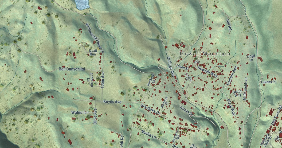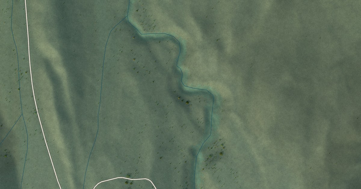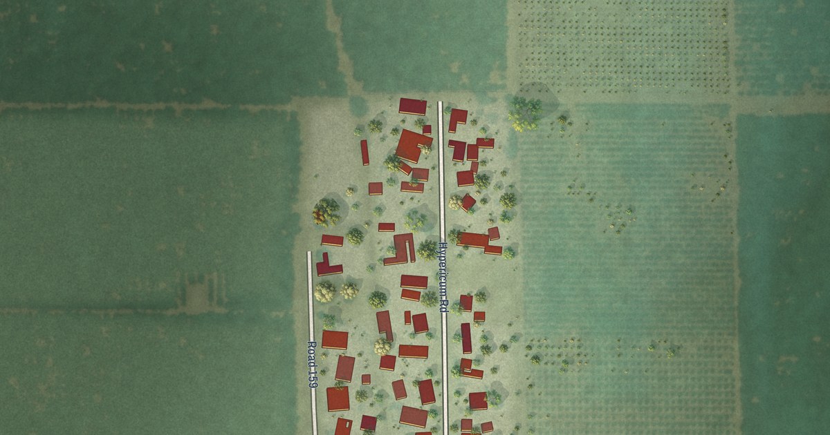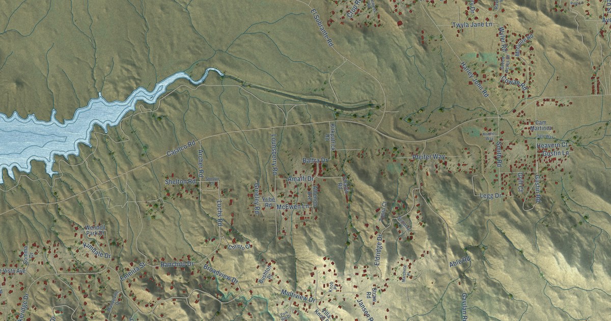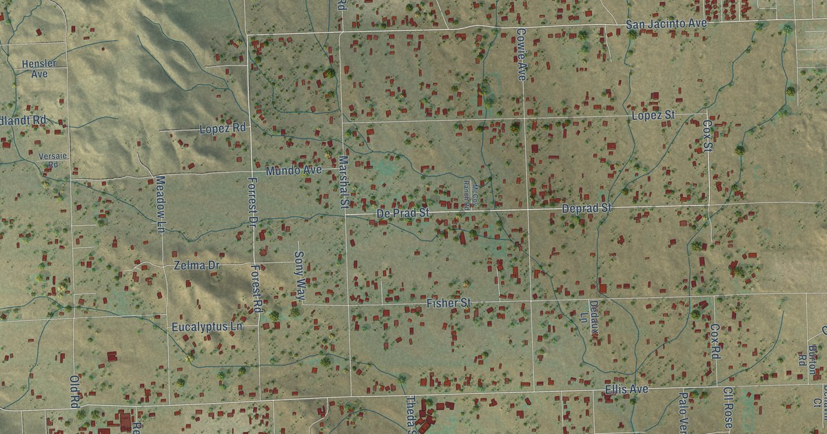
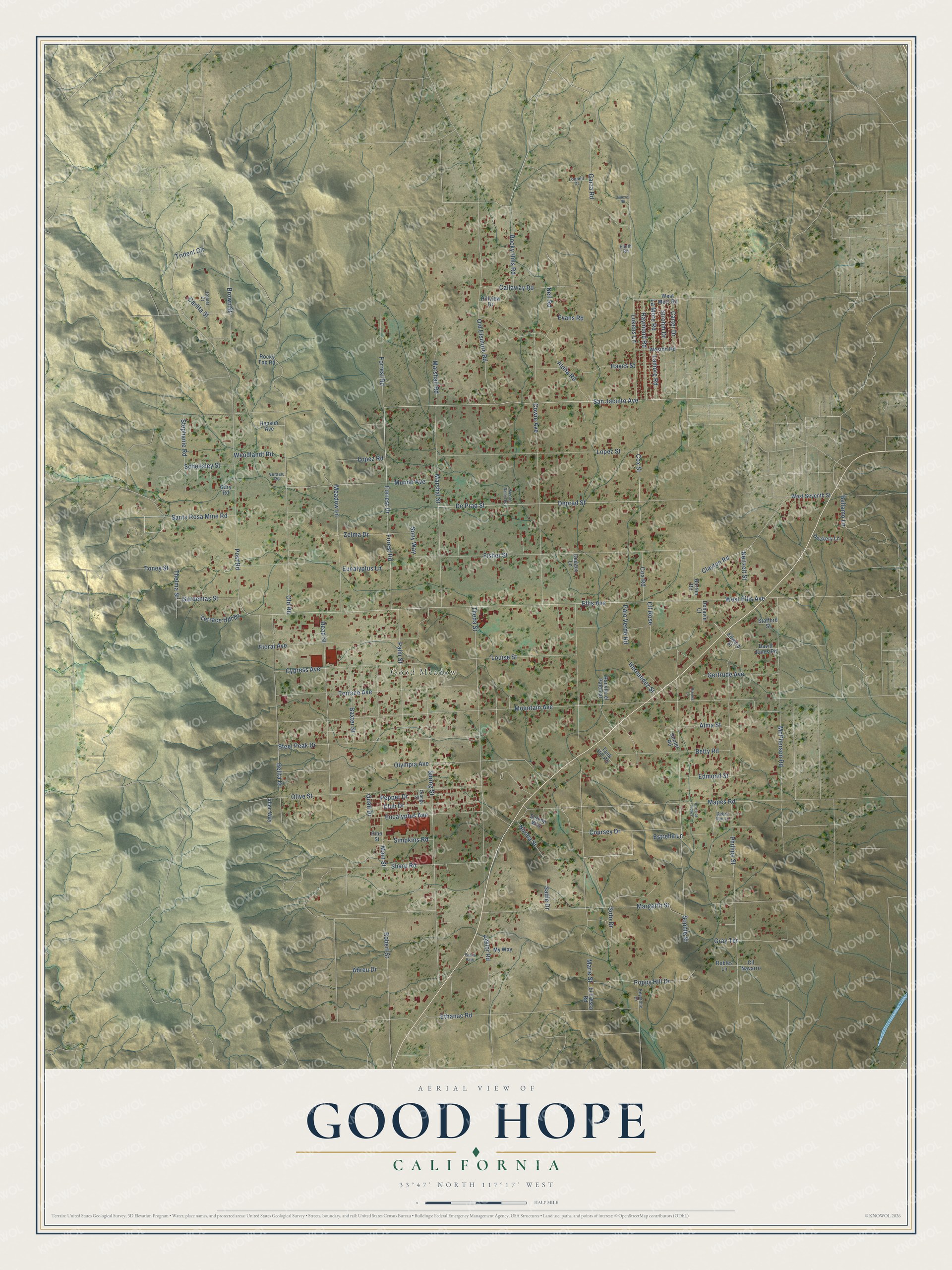
This beautifully detailed map of Good Hope, California was created in 2026 using aerial imagery combined with modern topographical, census, street and landmark data. It's a modern aerial view of Good Hope in Riverside County, California, that combines modern data with a vintage aesthetic. The roads feature printed names, and if you look closely you can find your exact house accurately shown in its correct location.
Explore an aerial view of Good Hope, California
On this map you'll find Good Meadow, San Jacinto Avenue, Forrest Drive, Cox Street, Forest Road, Norma Street, Ellis Avenue, De Prad Street, Brown Street, Mountain Avenue, Post Road, Theda Street, and more. Each red shape is a building, so zoom in on the preview and look for yours.
Good Hope is a community in Riverside County. The Census Bureau counted 9,468 people here in 2020. Good Hope sits about 3 miles north of Meadowbrook, 3 miles southwest of Perris and 4 miles south of Mead Valley. The map prints the town name in its title panel, with the coordinates below it.
Take a closer look at the Good Hope map
Names on this map
These names are printed on this map.
Places: Good Meadow.
Streets and roads: San Jacinto Avenue, Forrest Drive, Cox Street, Forest Road, Norma Street, Ellis Avenue, De Prad Street, Brown Street, Mountain Avenue, Post Road, Theda Street, Fisher Street.
More street names, A to Z
Abreu Drive, Allec Way, Alma Street, Aloha Road, Baxter Street, Belita Drive, Bellamo Lane, Betty Road, Brooks Lane, Burton Road, Callaway Road, Carlita Street, Carter Drive, Clayton Road, Cll Navarro, Cll Rose, Club Drive, Comet Court, Corte de Flores, Coursey Drive, Cowie Avenue, Cox Road, Cypress Avenue, David Jones Road, Debra Sue Lane, Dedaux Lane, Dehavin Court, Deprad Street, Dockery Lane, Edmond Street, Edward Street, El Fresco Road, Elieth Road, Estrella Lane, Ethanac Road, Eucalyptus Avenue, Eucalyptus Lane, Evans Road, Floral Avenue, Forrest Road, Gardenias Street, Gary Road, Garza Road, Gertrude Avenue, Gray Terrace, Hayes Street, Hensler Avenue, Hernandez Street, Hillview Drive, Hooter Road, Keystone Drive, La More Road, Lamore Road, Lopez Road, Lopez Street, Louise Street, Lounell Drive, Lukens Lane, Main Street, Mapes Road, Margarth Street, Marie Street, Marshall Road, Marshal Street, McCoy Ranch Road, McPherson Road, Meadow Lane, Mundo Avenue, My Way, Neil Road, Neitzelt Street, Nuevo Road, Old Elsinore Road, Old Road, Olive Street, Olympia Avenue, Orange Street, Palm Street, Palo Verde Road, Pearls Path, Pepper Drive, Phillips Street, Pine Street, Poppy Hill Drive, Quail Drive, Rancho el Palomar, Raymond Road, Read Street, Robert Street, Robles Lane, Rocky Hills Road, Rocky Top Road, Sadie Drive, Santa Rosa Mine Road, Scheesley Street, Serena Way, Sharp Road, Simpkins Road, Sony Way, Sophie Street, Soto Drive, Spring Street, Stafford Street, Steel Peak Drive, Stephanie Road, Strohm Drive, Tank Hill Road, Taylor Road, Terrace Avenue, Terrace Hill Drive, Thelma Street, Toney Street, Trident Circle, Versaie Road, Wendlandt Road, West Ellis Avenue, West Metz Road, Weston Road, West Seventh Street, Zelma Drive.
See it on a wall
The Good Hope map as a framed print. Swipe for more.


Created by KNOWOL in 2026. The buildings are small red shapes, the roads carry their printed names, and shaded relief shows the shape of the land. The title panel reads "AERIAL VIEW OF GOOD HOPE, CALIFORNIA" with 33°47' NORTH 117°17' WEST.
It suits a den, a classroom or a front hall, and it makes a gift for anyone with Good Hope roots. Open the preview and find the block you know. See sizes and frames for the Good Hope map.