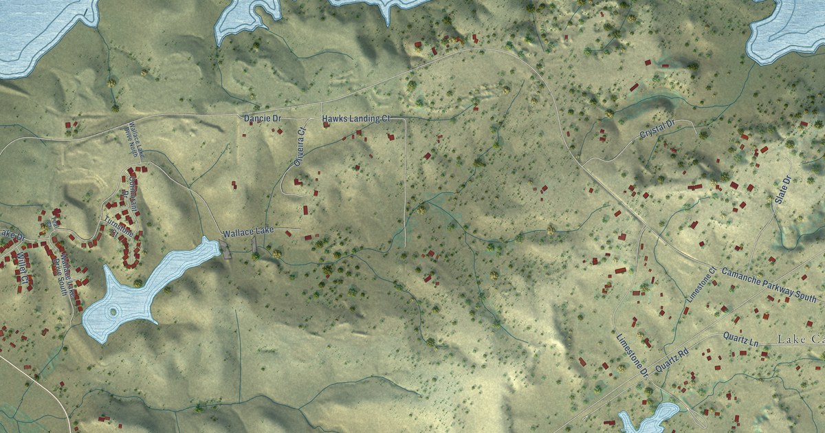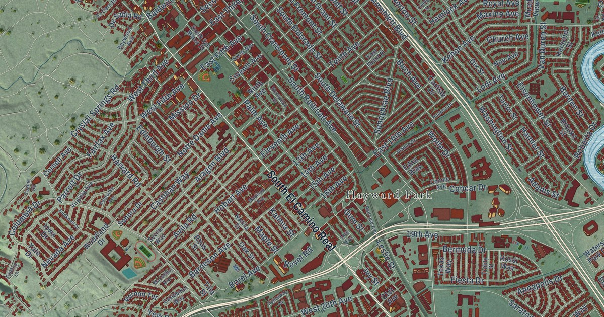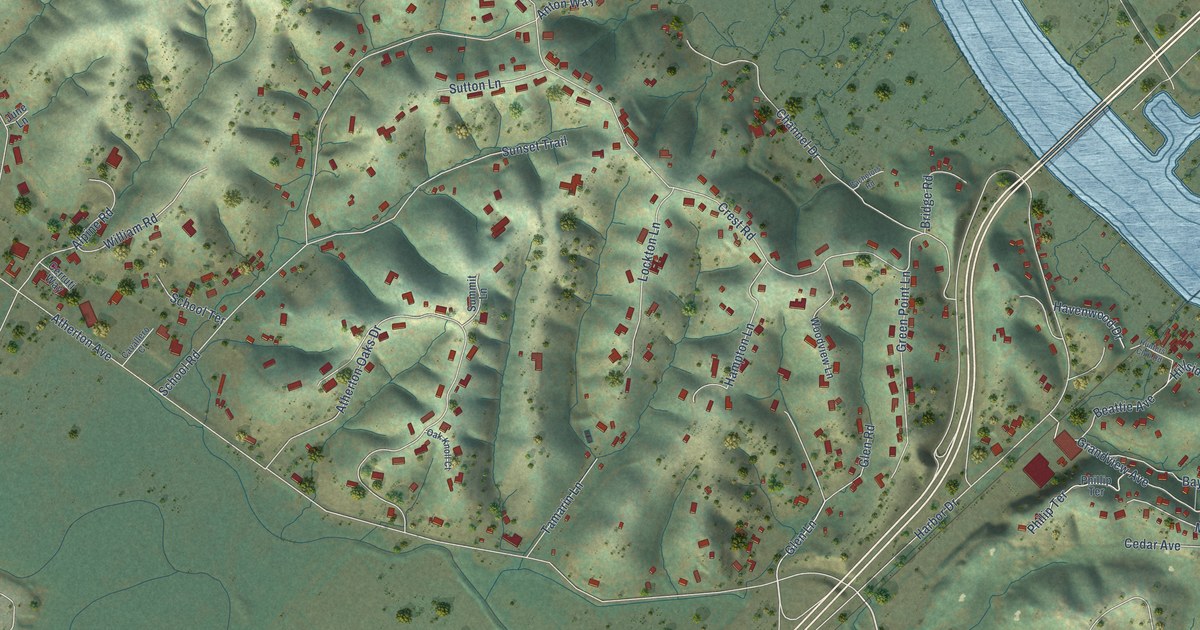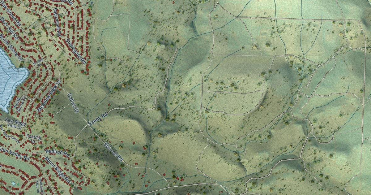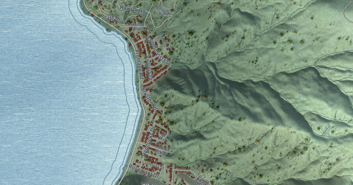
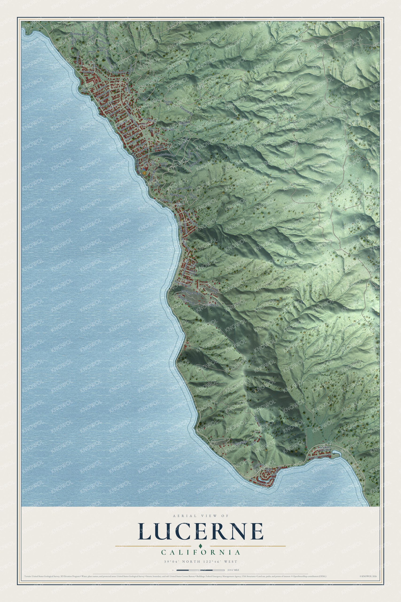
This beautifully detailed map of Lucerne, California was created in 2026 using aerial imagery combined with modern topographical, census, street and landmark data. It's a modern aerial view of Lucerne in Lake County, California, that combines modern data with a vintage aesthetic. The roads feature printed names, and if you look closely you can find your exact house accurately shown in its correct location.
Explore an aerial view of Lucerne, California
On this map you'll find East Highway 20, Fulton Road, Lakeview Terrace, Hawick Road, State Boulevard, Granada Road, Pearl Court, Bruner Drive, Foothill Drive, 13th Avenue, Arden Drive, Sunset Terrace, and more. Each red shape is a building, so zoom in on the preview and look for yours.
Every town has a first chapter, and Lucerne is no exception. The Eastern Pomo village of Cigom once stood where Lucerne is now, on the northeast side of Clear Lake. Jim Pumpkin gave an anthropologist a house by house count of it: twenty houses, mostly communal, and 235 people, who lived there all year on plentiful fish and acorns. Americans drove the people of Cigom from their village in 1870 or 1871. Some moved to the north end of the lake and others to Big Valley. That's from the anthropologist E. W. Gifford.
Lucerne is a community in Lake County. The Census Bureau counted 3,266 people here in 2020.
Take a closer look at the Lucerne map
Names on this map
These names are printed on this map.
Places: Country Club Park.
Streets and roads: East Highway 20, Fulton Road, Lakeview Terrace, Hawick Road, State Boulevard, Granada Road, Pearl Court, Bruner Drive, Foothill Drive, 13th Avenue, Arden Drive, Sunset Terrace.
More street names, A to Z
14th Avenue, 15th Avenue, 16th Avenue, 17th Avenue, Abbott Road, Al Drive, Alston Way, Atholl Road, Berwick Road, Bruster Road, Cindy Lane, Clay Street, Cora Drive, Country Club Drive, Dunstan Road, Eleventh Avenue, Fennel Road, Ferand Road, Ferrand Road, Fifth Avenue, First Avenue, Foothill Road, Fourth Avenue, Frontage Road, Garford Road, Geoffrey Road, Grove Street, Hendricks Drive, Highland Road, Holly Trail, Hotel Road, Kensington Way, La Helena Drive, Lakeshore Boulevard, Lake Street, Laurel del Drive, Logan Drive, Manx Trail, Milos Court, Ninth Avenue, Oak View Drive, Ogden Place, Ogden Road, Ogden Trail, Paisley Road, Panoramic Drive, Paradise Lagoon Drive, Paradise Valley Boulevard, Paula Sue Lane, Pine Street, Plaza Terrace, Rancho Vista Drive, Richard Drive, Robinson Road, Roland Drive, Roland Road, Rosemont Drive, Rowan Trail, Second Avenue, Seventh Avenue, Sherwood Road, Sixth Avenue, Tenth Avenue, Third Avenue, Twelfth Avenue, Utopia Trail, Verna Way, Victoria Street, Virginia Drive, Warren Drive, Windsor Road.
See it on a wall
The Lucerne map as a framed print. Swipe for more.


Created by KNOWOL in 2026. The buildings are small red shapes, the roads carry their printed names, and shaded relief shows the shape of the land. The title panel reads "AERIAL VIEW OF LUCERNE, CALIFORNIA" with 39°04' NORTH 122°46' WEST.
Hang it in the hallway, the office or the cabin, or give it to someone who left Lucerne and still calls it home. Open the preview and look for a street you know. See sizes and frames for the Lucerne map.