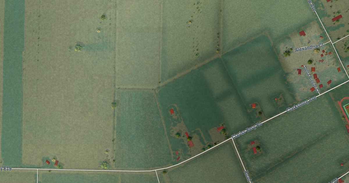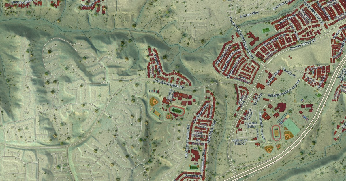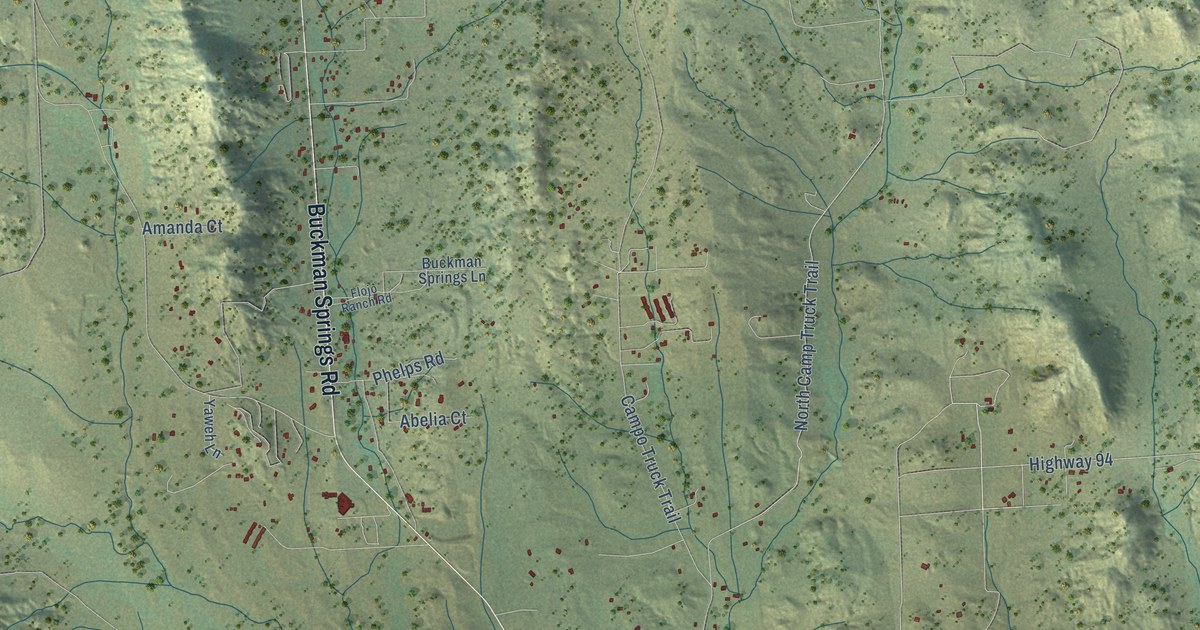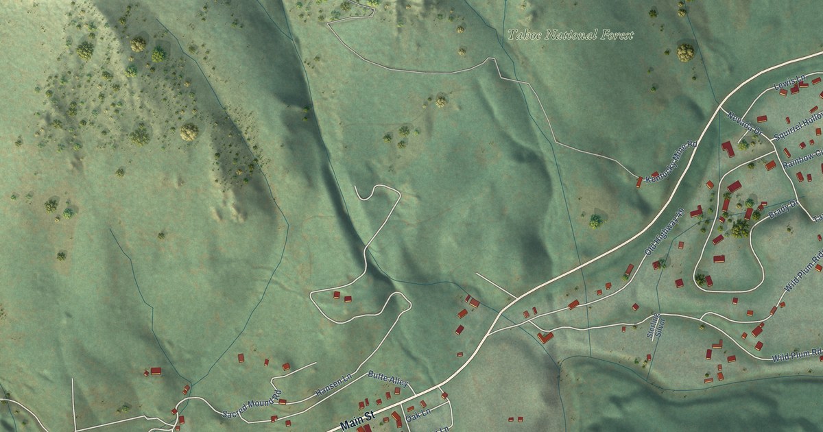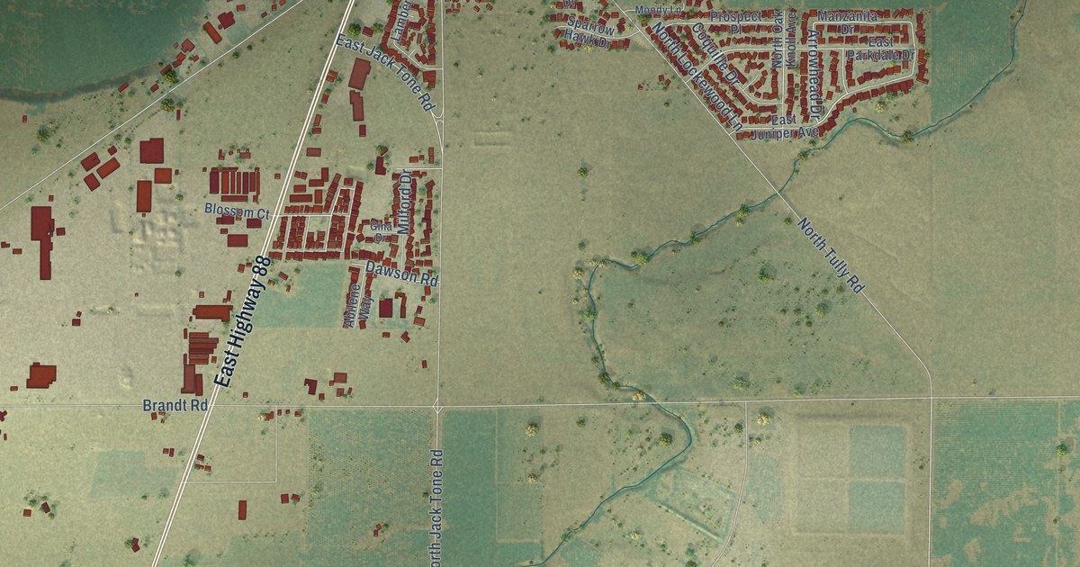
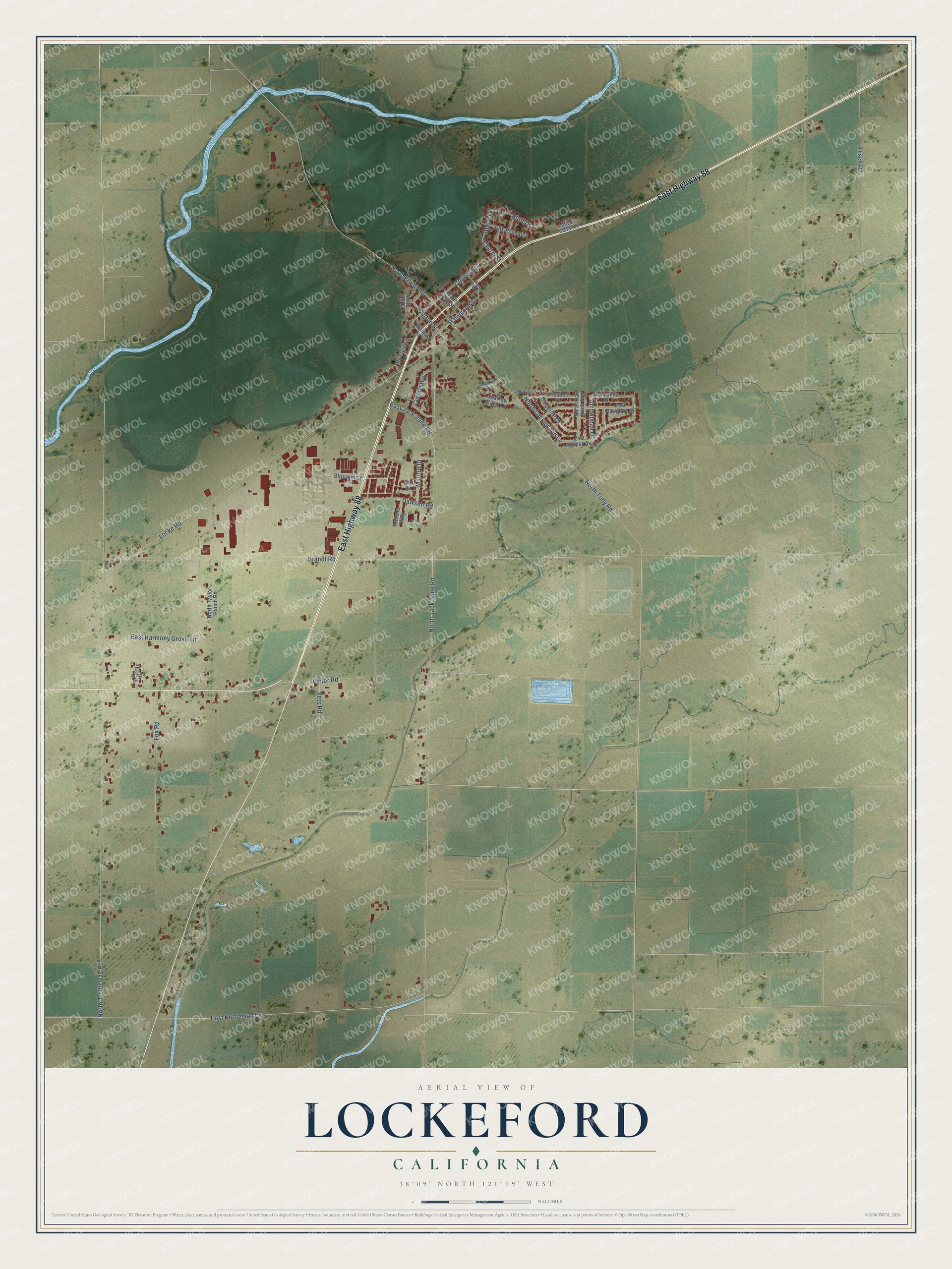
This beautifully detailed map of Lockeford, California was created in 2026 using aerial imagery combined with modern topographical, census, street and landmark data. It's a modern aerial view of Lockeford in San Joaquin County, California, that combines modern data with a vintage aesthetic. The roads feature printed names, and if you look closely you can find your exact house accurately shown in its correct location.
Explore an aerial view of Lockeford, California
On this map you'll find East Highway 88, Arrowhead Drive, Cherry Street, Dawson Road, Apple Drive, Hammond Street, North Jack Tone Road, North Tretheway Road, Brandt Road, Locke Road, East Kettleman Lane, North Tully Road, and more. Each red shape is a building, so zoom in on the preview and look for yours.
Here is a piece of Lockeford history. Dr. Dean Jewett Locke and his brother Elmer built the first cabin in what became Lockeford in 1851, and grizzly bears drove them to spend their first nights in the oak trees. Because Dr. Locke built and kept up a ford across the Mokelumne River, his wife, Delia Hammond Locke, named the town he laid out on his ranch Lockeford in 1859. Dr. Locke had come west as the physician for the Boston and Newton Joint Stock Company. He left Boston on April 16, 1849, crossed the plains and reached Sacramento that September. That's from the California Office of Historic Preservation.
Lockeford is a community in San Joaquin County. The Census Bureau counted 3,333 people here in 2020.
Take a closer look at the Lockeford map
Names on this map
These names are printed on this map.
Streets and roads: East Highway 88, Arrowhead Drive, Cherry Street, Dawson Road, Apple Drive, Hammond Street, North Jack Tone Road, North Tretheway Road, Brandt Road, Locke Road, East Kettleman Lane, North Tully Road.
More street names, A to Z
Abilene Way, Blossom Court, Bluff Drive, Cal Drive, Church Street, Coquille Drive, Cotton Street, Disch Road, East Harmony Grove Lane, East Jack Tone Road, East Juniper Avenue, East Parkdale Drive, Fox Road, Gina Drive, Lambert Way, Manzanita Drive, Milford Drive, Mira Vista Lane, Moody Lane, North Elliott Road, North Elm Street, North Ian Court, North Lockewood Lane, North Oak Knoll Avenue, North Oak Street, North Taylor Ranch Road, Oak Point Drive, Prospect Place, Riverview Lane, Sharon Drive, Sparrow Hawk Drive, Vets Road, Victor Road, Walnut Street.
See it on a wall
The Lockeford map as a framed print. Swipe for more.


Created by KNOWOL in 2026. The buildings are small red shapes, the roads carry their printed names, and shaded relief shows the shape of the land. The title panel reads "AERIAL VIEW OF LOCKEFORD, CALIFORNIA" with 38°09' NORTH 121°09' WEST.
It suits a den, a classroom or a front hall, and it makes a gift for anyone with Lockeford roots. Open the preview and find the block you know. See sizes and frames for the Lockeford map.