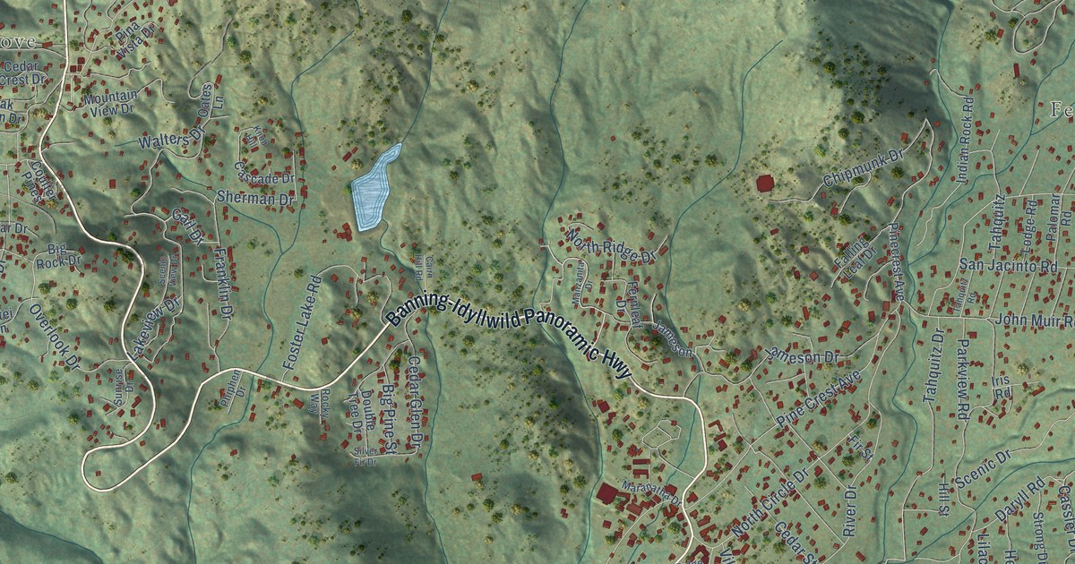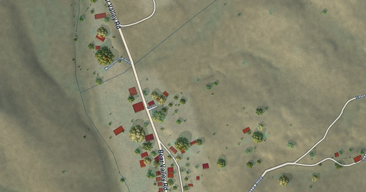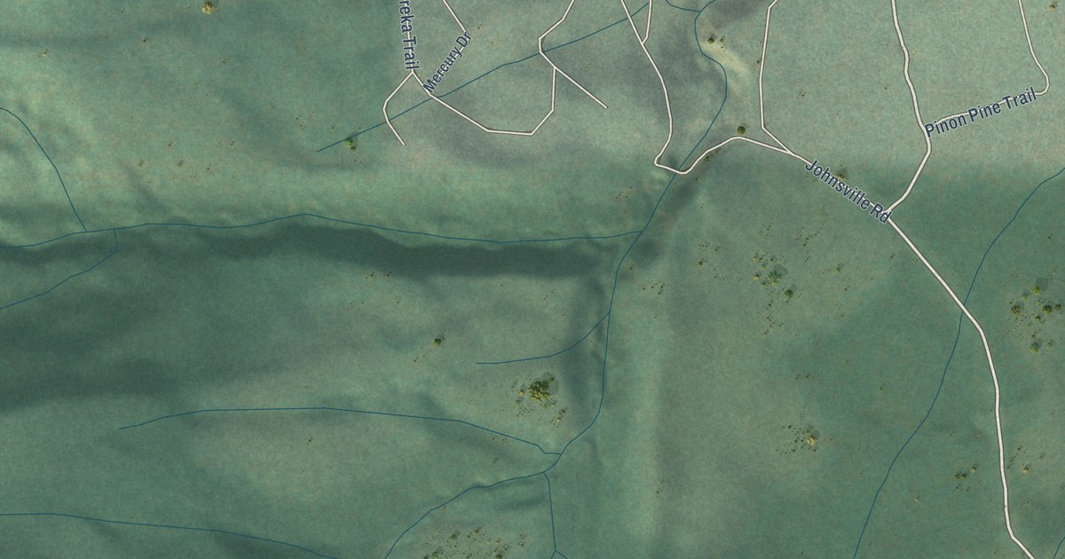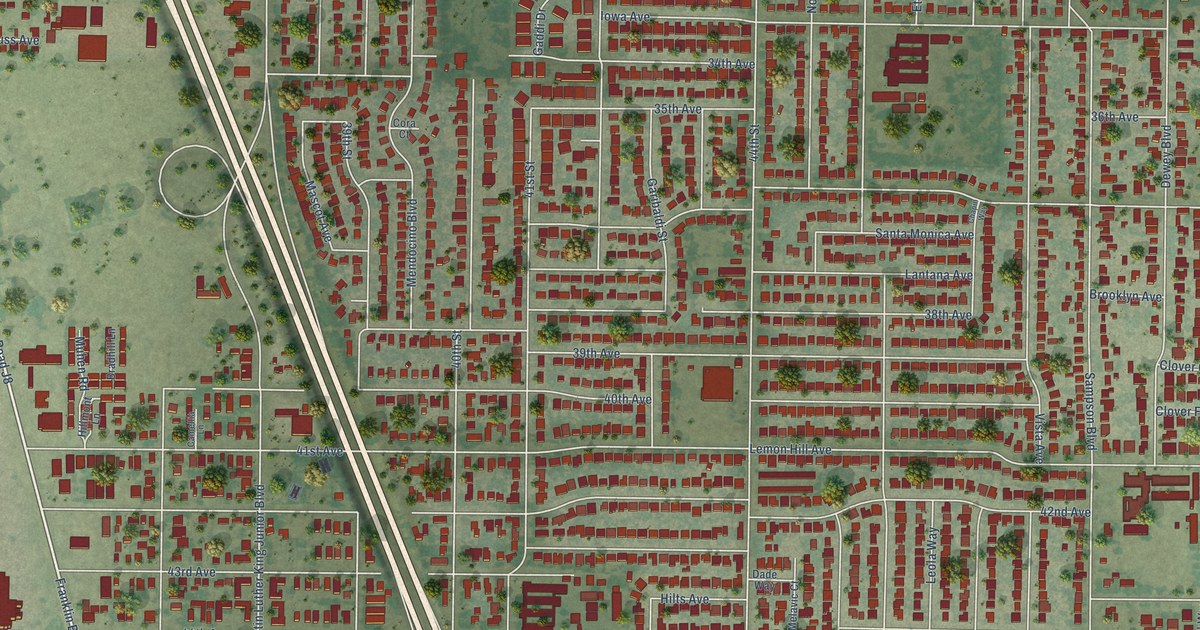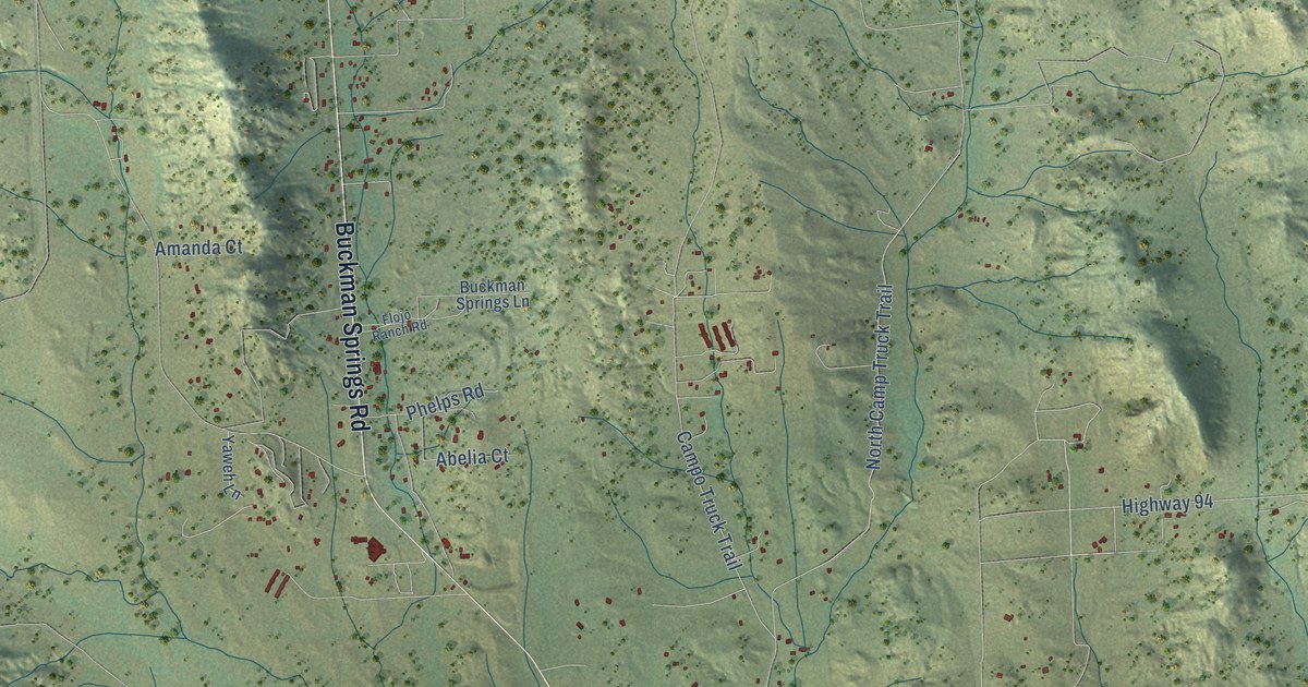
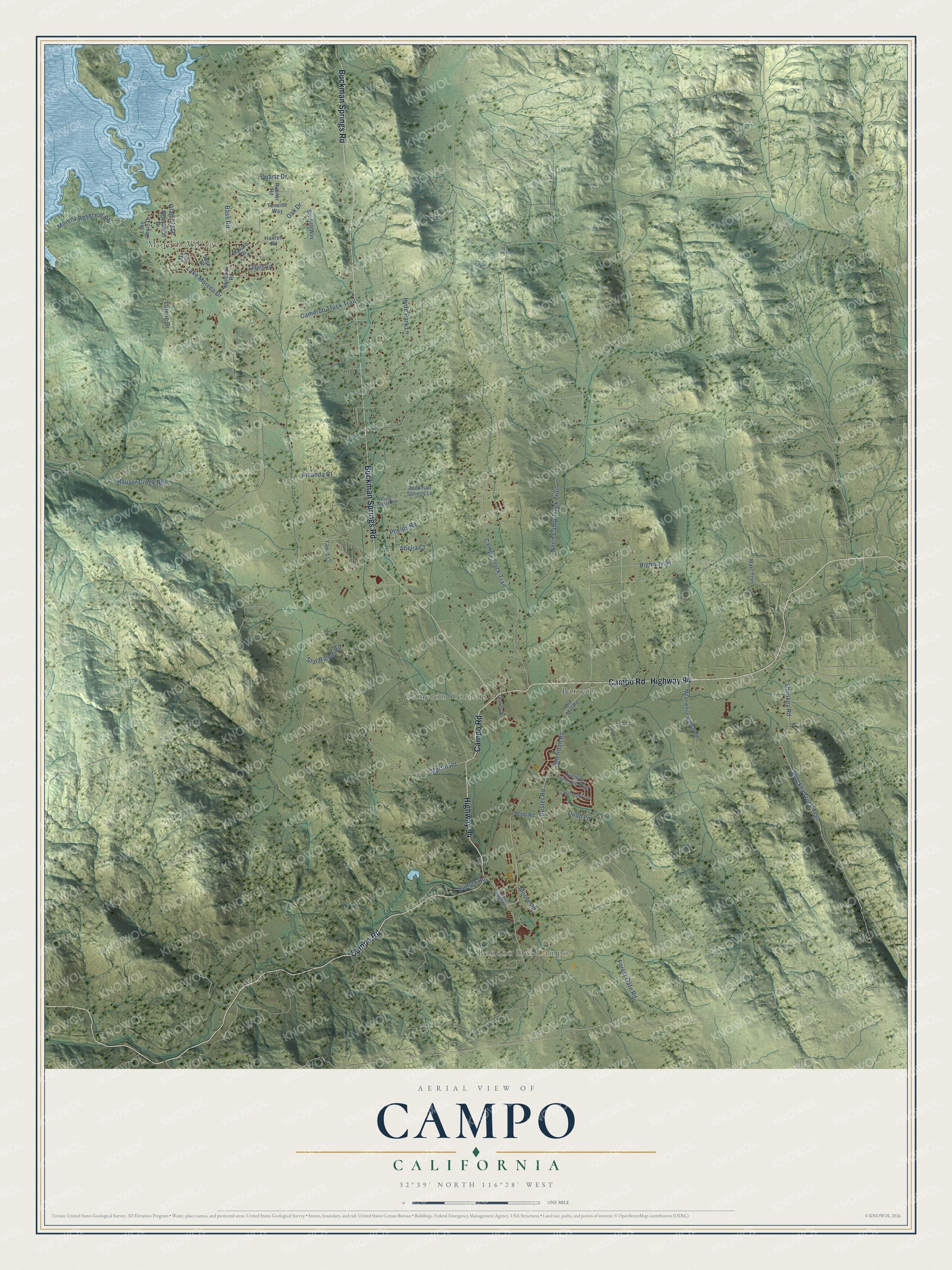
This beautifully detailed map of Campo, California was created in 2026 using aerial imagery combined with modern topographical, census, street and landmark data. It's a modern aerial view of Campo in San Diego County, California, that combines modern data with a vintage aesthetic. The roads feature printed names, and if you look closely you can find your exact house accurately shown in its correct location.
Explore an aerial view of Campo, California
On this map you'll find Rancho Del Campo, Morena Village, Barrett, Cameron Corners, Buckman Springs Road, Campo Road, Highway 94, Forest Gate Road, Martin Road, Sheridan Road, North Camp Truck Trail, Shockey Truck Trail, and more. Each red shape is a building, so zoom in on the preview and look for yours.
Here is a piece of Campo history. Camp Lockett at Campo, built in 1941, was the last training post built for mounted cavalry in Southern California. It was also the last military post in California to house and train African American horse soldiers, the Buffalo Soldiers, and when they left for North Africa in 1944, the era of the horse soldier ended. That's from the California Office of Historic Preservation.
Campo is a community in San Diego County. The Census Bureau counted 2,955 people here in 2020.
Take a closer look at the Campo map
Names on this map
These names are printed on this map.
Places: Rancho Del Campo, Morena Village, Barrett and Cameron Corners.
Streets and roads: Buckman Springs Road, Campo Road, Highway 94, Forest Gate Road, Martin Road, Sheridan Road, North Camp Truck Trail, Shockey Truck Trail, Lake Morena Drive, Campo Truck Trail, Oak Drive, Shookey Road.
More street names, A to Z
Abelia Court, Amanda Court, Bass Road, Buckman Springs Lane, Cameron Truck Trail, Coast Oak Trail, Custer Road, Dewey Place, Dodd Lane, Dodd Road, Evening Primrose Trail, Flojo Ranch Road, Forrest Gate Road, Gladiola Drive, Hartfell Road, Hauser Creek Road, Hollywood Drive, Hyde Park Lane, Lake Shore Drive, Lupine Drive, Mallard Drive, Marc Trail, Meanwhile Ranch Road, Molchan Road, Moore Road, Morena Reservoir Road, Old Mill Road, Phelps Road, Pine Drive, Quail Road, Quartz Drive, Runner Road, Sage Drive, Star Ranch Road, Sunfish Way, Tonalite Way, Yaweh Lane.
See it on a wall
The Campo map as a framed print. Swipe for more.


Created by KNOWOL in 2026. The buildings are small red shapes, the roads carry their printed names, and shaded relief shows the shape of the land. The title panel reads "AERIAL VIEW OF CAMPO, CALIFORNIA" with 32°39' NORTH 116°28' WEST.
It suits a den, a classroom or a front hall, and it makes a gift for anyone with Campo roots. Open the preview and find the block you know. See sizes and frames for the Campo map.