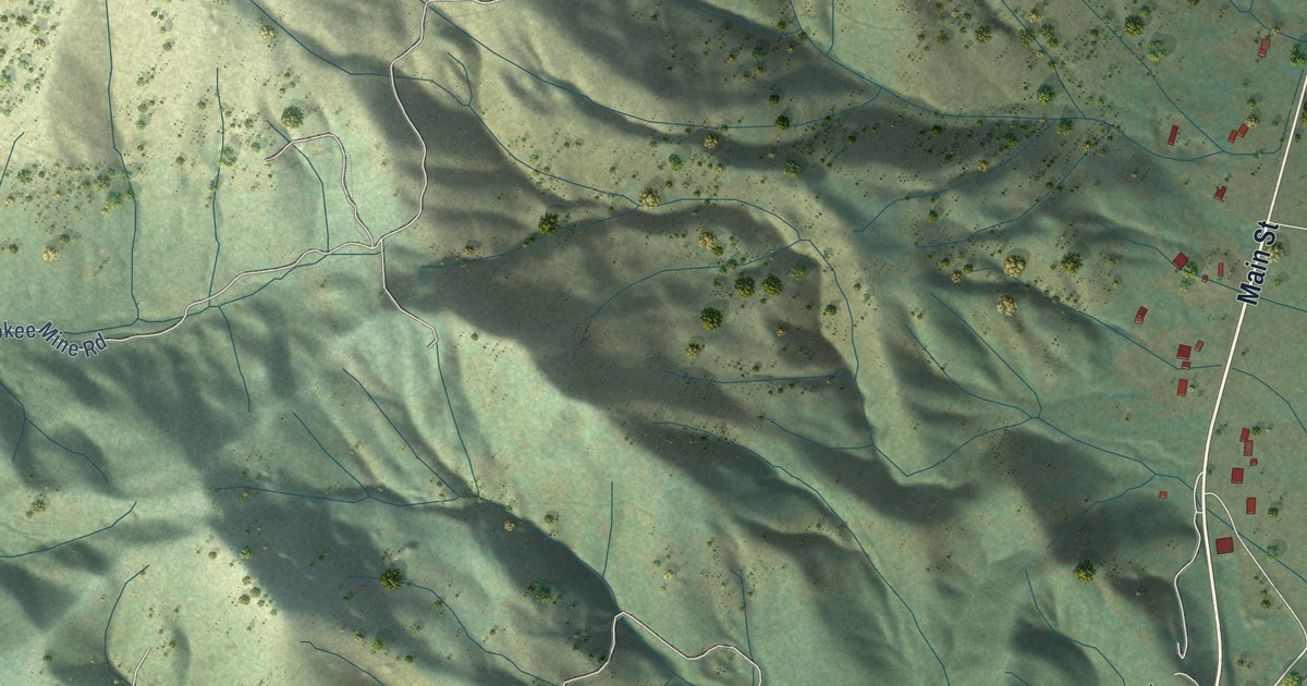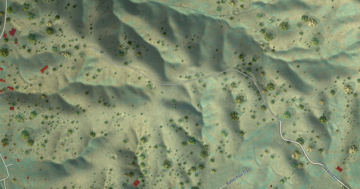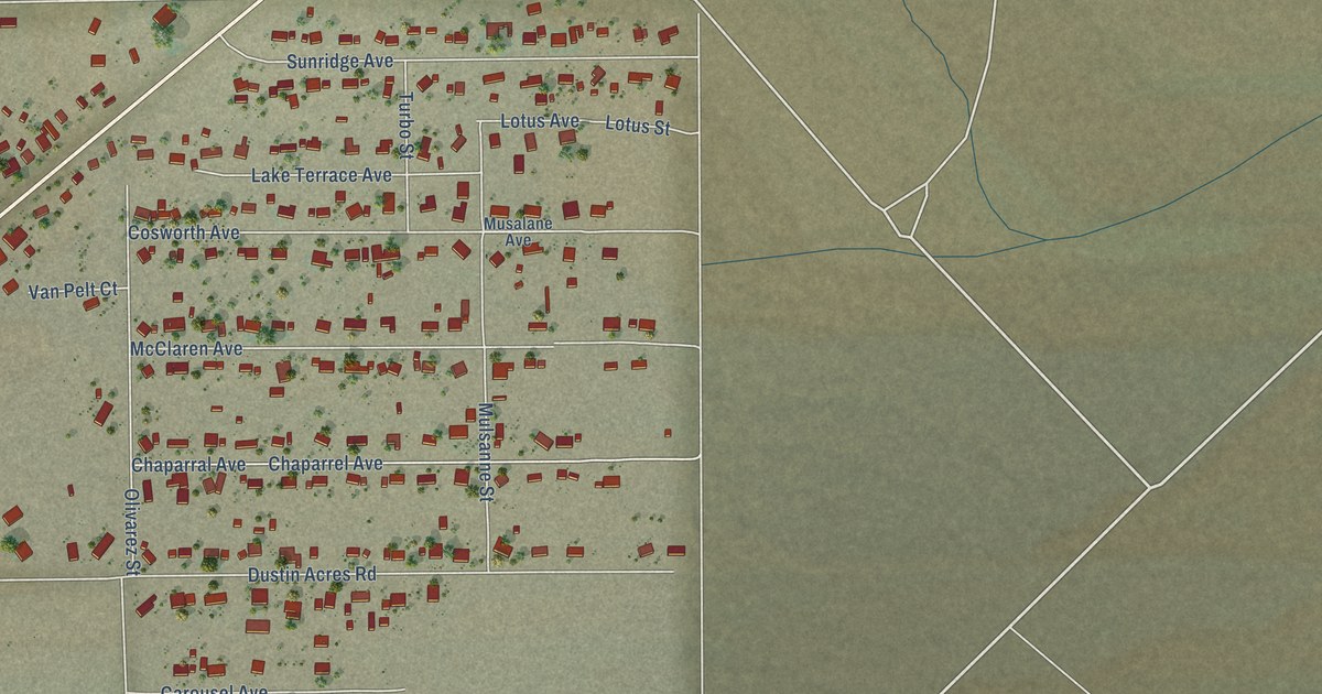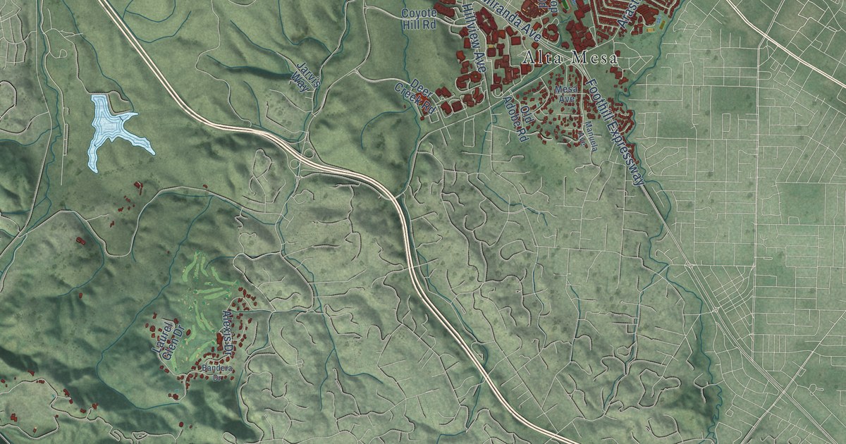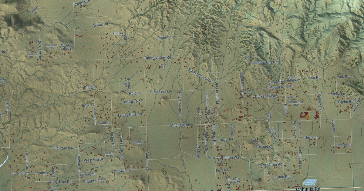
This beautifully detailed map of Anza, California was created in 2026 using aerial imagery combined with modern topographical, census, street and landmark data. It's a modern aerial view of Anza in Riverside County, California, that combines modern data with a vintage aesthetic. The roads feature printed names, and if you look closely you can find your exact house accurately shown in its correct location.
Explore an aerial view of Anza, California
On this map you'll find Cahuilla Road, Kenworthy Bautista Road, Mitchell Road, Ayers Way, Pony Trail Road, Boulton, Woodview Road, Saddleback Road, Red Shank Road, Quail Drive, Fischer Road, Benton Way, and more. Each red shape is a building, so zoom in on the preview and look for yours.
Anza has a story worth telling. The area was known as Cahuilla Plains when a United States post office opened there on August 22, 1913, and it became known as Baptista. The name changed to Bautista in 1924 and to Anza in 1926, and all three names honored Colonel Juan Bautista de Anza. In the spring of 1914 homesteaders hauled lumber from Hemet to build the Little Red Schoolhouse, which is still in use in Minor Park. That's from the Anza Civic Improvement League.
Anza is a community in Riverside County. The Census Bureau counted 3,075 people here in 2020.
Take a closer look at the Anza map
Names on this map
These names are printed on this map.
Streets and roads: Cahuilla Road, Kenworthy Bautista Road, Mitchell Road, Ayers Way, Pony Trail Road, Boulton, Woodview Road, Saddleback Road, Red Shank Road, Quail Drive, Fischer Road, Benton Way.
More street names, A to Z
Alessandro Road, Anzanita Lane, Anza Road, Anza Trail West, Ardwell Drive, Aurora Lane, Bahrman Road, Bailiff Road, Bautista Road, Beck's Way, Bickel Lane, Black Foot Drive, Bohlen Road, Bonita Vista Road, Boulder, Boulder Hill Road, Boulder Way, Boulton Road, Brandon Road, Bridle Path, Broken Axle Road, Browns Rocky Road, Burnt Valley Lane, Burnt Valley Road, Byrds Way, Byron Lane, Cain Road, Cary Road, Cave Rock Road, Ceccarelli Road, Comanche Trail, Contreras Road, Crams Cor Drive, Crams Corner Drive, Dana Place, Danpam Road, Deer Mountain Way, Denny Drive, Derry Lane, Dickson Hills Road, Dickson Way, Dora Lane, Dusty Road, Elder Road, El Rey Circle Drive, El Toro Road, Engstrom Road, Everett Road, Fisher Road, Foothill Road, Forest Boundary Road, Frante Hills Drive, Frantz Road, Georgewell, Georgewell Road, Glasgow Circle, Glebe Road, Glenda Lane, Granite Gulley Road, Green Valley Drive, Gumpfer Road, Hamilton Drive, Harvey Hills Road, Haupert Road, Higgins Road, High Hill Road, Highview Drive, Hill Street, Hog Lake Truck Trail, Hollow Lane, Holt Lane, Homestead Hills Road, Horton Hills Road, Howard Road, Hufford Road, Hurst Drive, Indian Road, Iowa Sue Road, Ivan Drive, Jack Lane, Jake Road, Jay Bird, Jaybird Lane, Johnson Road, Jopal Road, Kess Road, Kirby Road, Knollwood Drive, Kweea Road, Laink Lane, Lanik Lane, Lapp Lane, Liar Road, Licon Road, Linda Vis, Lipp Road, Liston Lane, Locust Road, Long Way, Los Alamos Road, Louise Avenue, Low, Lubo Trail, Manzanita Road, Markel Road, Mc Arthur, McDonald Lane, McDonald Road, Meadow Valley Lane, Meyers Lane, Moraza Road, Mount Road, Murray Hills Road, Muttering Road, Oak Road, Old Cary Road, Old Forest Road, Old Mine Trail, Old Ranch Road, Owings Drive, Patrick Way, Pena Road, Penny Lane, Pine Tree Lane, Poineer Trail, Polliwog Road, Quail Mountain Drive, Quartz Road, Quartz Way, Quionnes Road, Rambling Hills Road, Regal Blue Trail, Remy Road, Reynolds Way, Rocky Ravine Road, Rolling Hills Road, Rusty Road, Scouts Lane, Sherman Way, Silico Road, Smokethorn Road, Snaith Road, Sofia Drive, South Bautista Road, Springbrook, Springs Trail, Stella Lane, Stones Throw Road, Sunshine Hills Road, Table Mountain Trail, Table Mountain Truck Trail, Tenderfoot Trail, Terwilliger Road, Tripp Flats Road, Upper Valley Road, Valarie Road, Valley View Lane, Vesper Road, Volkmann Road, Wagon Wheel Road, Ward Road, Ware Road, Wellman Road, Wesley Circle, Western Hills Road, West Hill Road, West Hill Street, Wheat Road, Wheeler Road, Whitmore Road, Willis Road, Yaw Road, Yucca Road.
See it on a wall
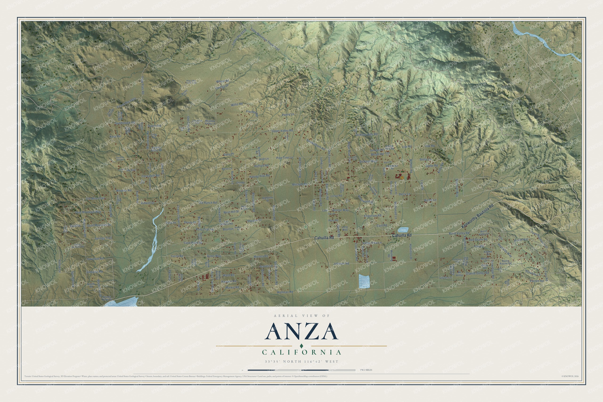
The Anza map as a framed print. Swipe for more.


Created by KNOWOL in 2026. The buildings are small red shapes, the roads carry their printed names, and shaded relief shows the shape of the land. The title panel reads "AERIAL VIEW OF ANZA, CALIFORNIA" with 33°35' NORTH 116°42' WEST.
It looks right in a kitchen, an office or a den, and it's a gift for anyone who grew up in Anza or moved away. Open the preview and find your street. See sizes and frames for the Anza map.