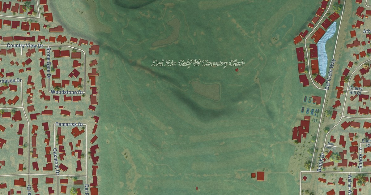
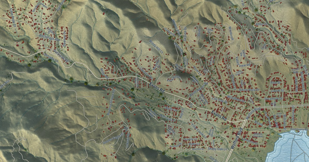
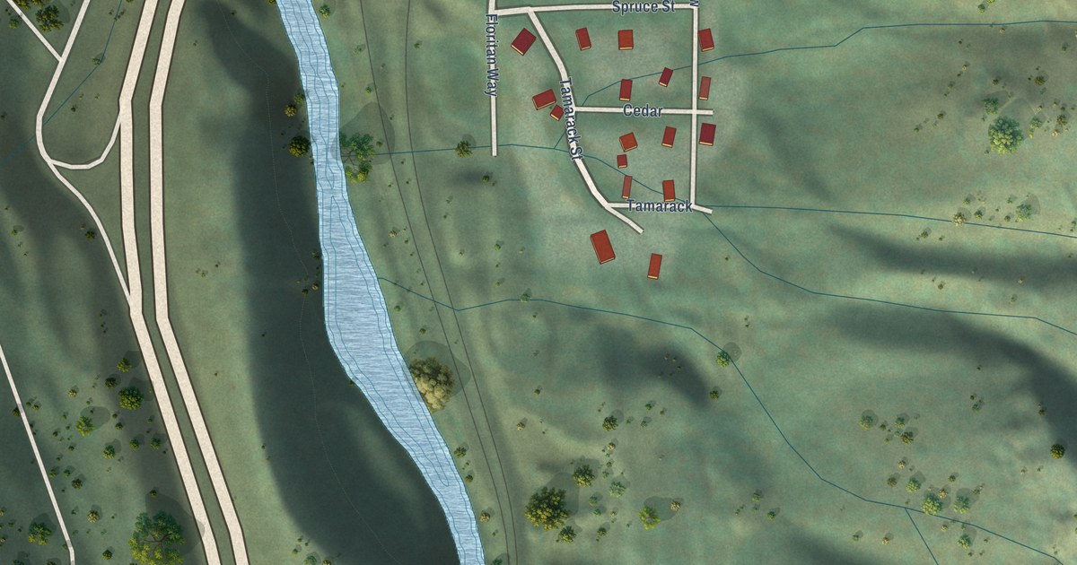
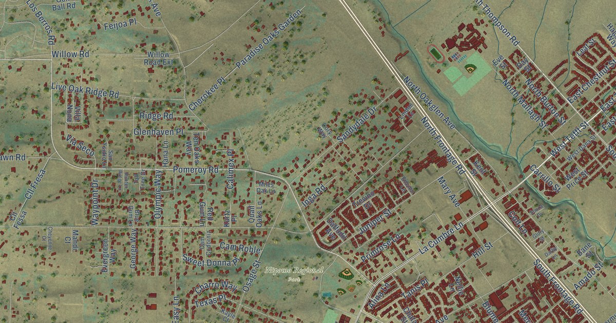
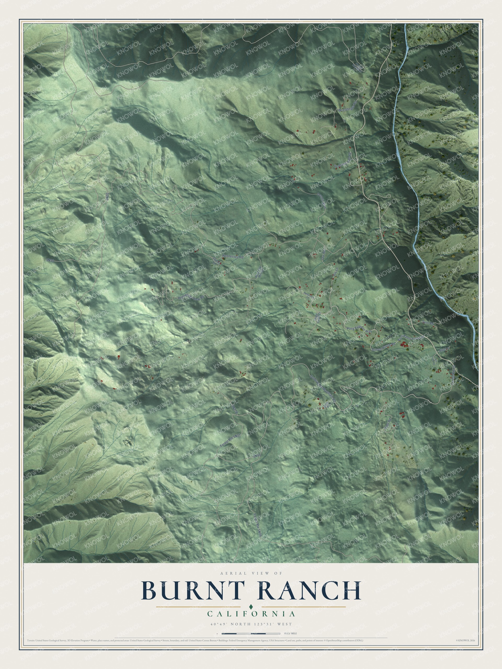
This beautifully detailed map of Burnt Ranch, California was created in 2026 using aerial imagery combined with modern topographical, census, street and landmark data. It's a modern aerial view of Burnt Ranch in Trinity County, California, that combines modern data with a vintage aesthetic. The roads feature printed names, and if you look closely you can find your exact house accurately shown in its correct location.
Explore an aerial view of Burnt Ranch, California
On this map you'll find School House Road, Hennessey Road, Underwood Mountain Road, 5N02, Pony Express Way, Hennessey View Road, Kaut Road, 5N30, McConnaha Road, Dennis Boulevard, 5N40, Iris Lane, and more. Each red shape is a building, so zoom in on the preview and look for yours.
Here is a piece of Burnt Ranch history. Burnt Ranch has older names: Tsuda'mdadji in the Chimariko language, and yinaq-dinung-ting in Tsnungwe for the McDonald Ranch area. Stories of the English name differ, but at least two sources say Canadian miners burned the Indian village there in 1849. A family account in the Susie Baker Fountain papers says the people of the village heard the whites were coming and left, and the whites burned the empty village. That's from the Trinity County Office of Education.
Burnt Ranch is a community in Trinity County. The Census Bureau counted 250 people here in 2020.
Take a closer look at the Burnt Ranch map
Names on this map
These names are printed on this map.
Streets and roads: School House Road, Hennessey Road, Underwood Mountain Road, Forest Route 16, Pony Express Way, Hennessey View Road, Kaut Road, McConnaha Road, Dennis Boulevard, Iris Lane, Veterans Hall Road, Seth Road.
More street names, A to Z
5N27B, Burnt Ranch School Road, Dose Road, Horseshoe Lane, Kbd Lane, Mill Camp Road, Moss Old Mill Road, Osprey Lane, Our Road, Stage Coach Drive.
See it on a wall
The Burnt Ranch map as a framed print. Swipe for more.


Created by KNOWOL in 2026. The buildings are small red shapes, the roads carry their printed names, and shaded relief shows the shape of the land. The title panel reads "AERIAL VIEW OF BURNT RANCH, CALIFORNIA" with 40°49' NORTH 123°31' WEST.
It suits a den, a classroom or a front hall, and it makes a gift for anyone with Burnt Ranch roots. Open the preview and find the block you know. See sizes and frames for the Burnt Ranch map.