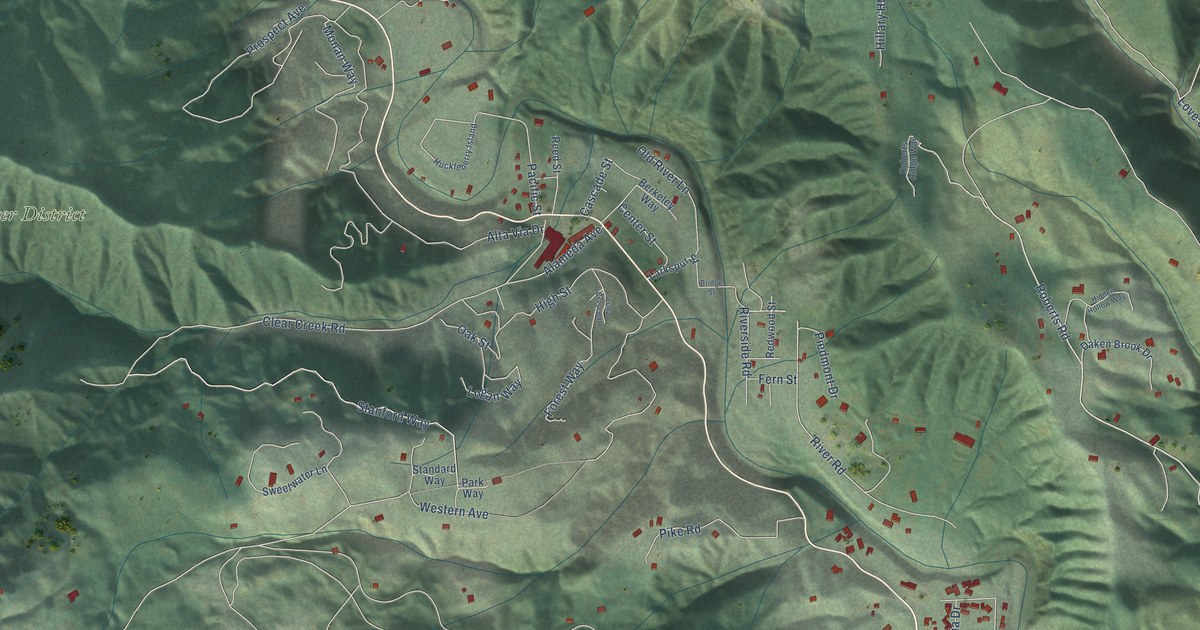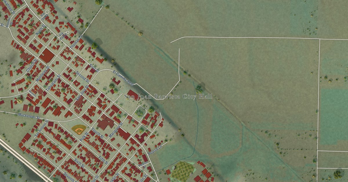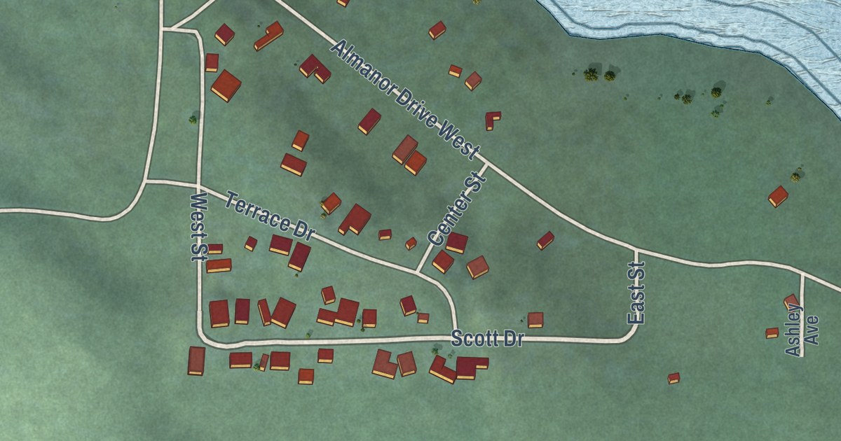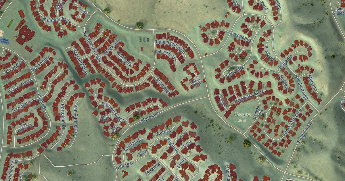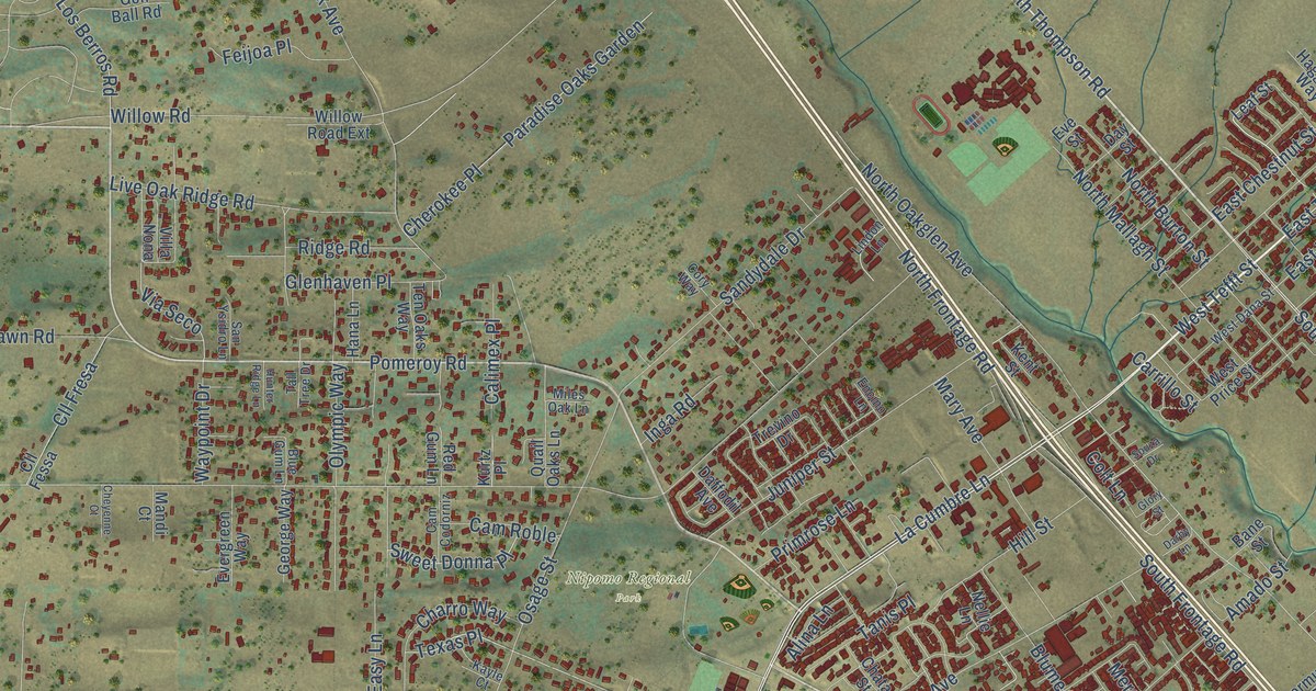
This beautifully detailed map of Nipomo, California was created in 2026 using aerial imagery combined with modern topographical, census, street and landmark data. It’s a one-of-a-kind view of Nipomo that combines accurate data with a vintage aesthetic. The map shows every building in its true location, many of the roads carry their names, and the shaded topographic relief shows the shape of the land.
Explore an aerial view of Nipomo, California
On the map you’ll find Nipomo Regional Park and Silva Place, along with La Cumbre Lane, West Tefft Street, South Thompson Avenue, East Tefft Street, North Las Flores Drive, Teft Road, North Thompson Road, Country Hill Road, Orchard Road, South Frontage Road, and more. If you look closely you can even find your house accurately drawn in its correct location. Zoom in on the preview to look for yours.
Did you know this piece of Nipomo, California history?
From Ohp.parks.ca.gov: "For many years Rancho Nipomo was the first stopping place on El Camino Real south of Mission San Luis Obispo."
Take a closer look at the Nipomo map
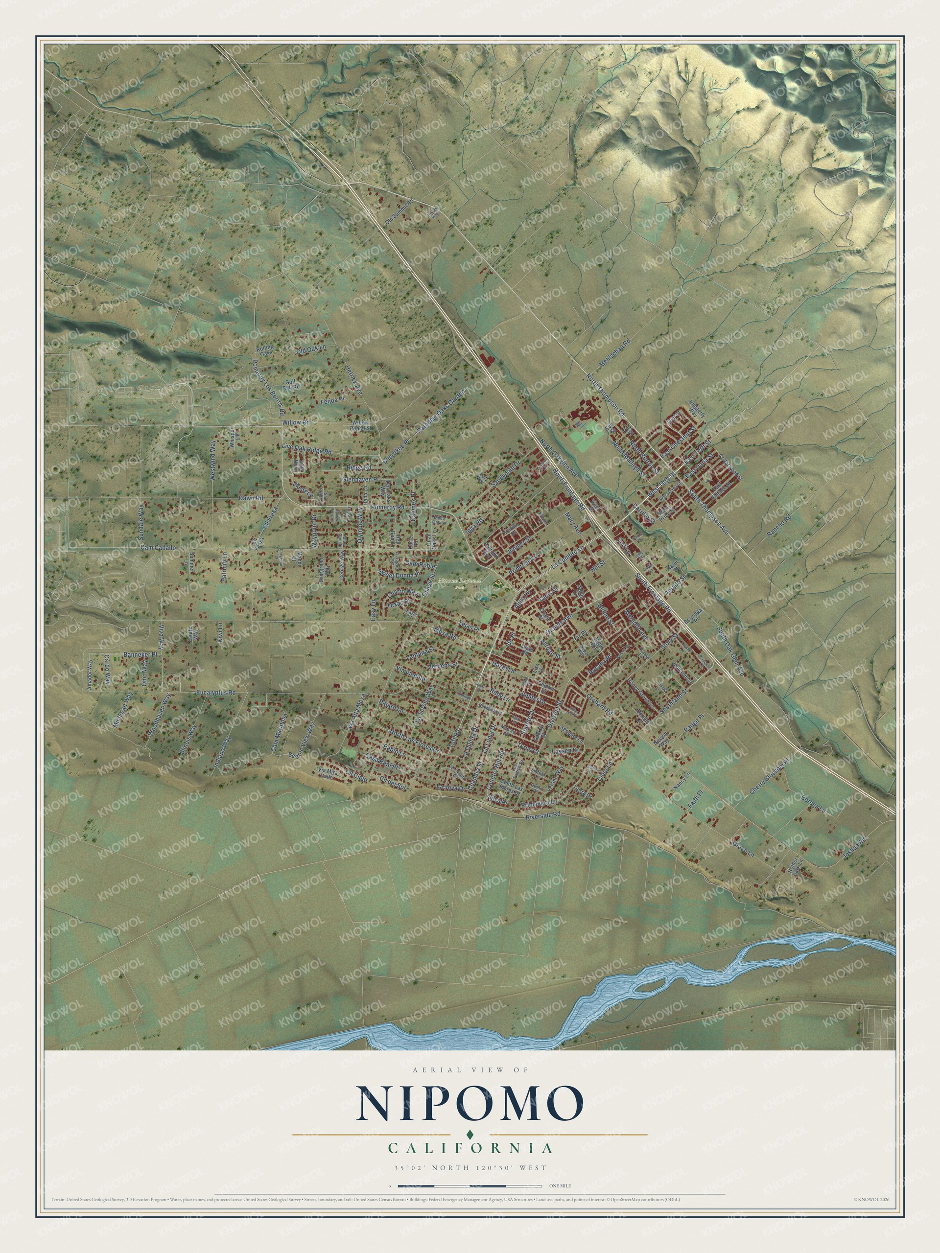
Street and place names on the Nipomo, California map
These names are printed on the map of Nipomo, California.
Places: Nipomo Regional Park.
Streets and roads: La Cumbre Lane, West Tefft Street, South Thompson Avenue, East Tefft Street, North Las Flores Drive, Teft Road, North Thompson Road, Country Hill Road, Orchard Road, South Frontage Road, Silva Place, Southland Street.
More street names, A to Z
Alina Lane, Amador Way, Amado Street, Apricot Street, Ashland Lane, Bane Street, Banneker Place, Bermuda Place, Beverly Drive, Blue Gum Lane, Blume Street, Borega Lane, Calimex Place, Cam Caballo, Cam Codorniz, Cam Mariposa, Cam Roble, Cardo Way, Carrillo Street, Casa Real Place, Cedarwood Street, Chandra Street, Charro Way, Chata Street, Cherokee Place, Cherry Blossom Place, Cheyenne Court, Cielo Lane, Cll Cielo, Cll del Sol, Cll Fessa, Cll Fresa, Colt Lane, Cory Way, Crystal Lane, Daffodil Avenue, Darby Lane, Dawn Road, Day Street, Division Street, Drumm Lane, East Chestnut Street, East Dana Street, East Vintage Street, Easy Lane, El Cerrito Drive, Encino Lane, Estate Way, Eucalyptus Road, Evergreen Way, Eve Street, Faith Place, Feijoa Place, Fir Place, Galaxy Street, George Way, Glenhaven Place, Glory Street, Golf Ball Road, Grace Lane, Grande Avenue, Haggerty Way, Hana Lane, Hazel Lane, Hetrick Avenue, Higos Way, Hill Street, Holder Park Lane, Honey Grove Lane, Hunter Ridge Lane, Ida Place, Illinois Way, Indiana Way, Inga Road, Joshua Road, Juniper Street, Jupiter Drive, Kayle Court, Kent Street, Kiwi Lane, Kurtz Place, La Camarilla Place, La Joya Drive, La Loma Drive, Lantana Street, La Quinta Drive, La Serena Way, Lassen Drive, Leaf Street, Lindon Lane, Lisa Lane, Live Oak Ridge Road, Los Padres Drive, Mandi Court, Mars Court, Mary Avenue, Mehlschau Road, Mercury Drive, Meredith Avenue, Mesa Road, Michigan Way, Miles Oak Lane, Nancy Lane, Nellie Lane, Nelson Way, Nopal Way, North Burton Street, North Frontage Road, North Mallagh Street, North Oakglen Avenue, Ohio Way, Old Oak Lane, Old Summit Road, Olympic Way, Osage Street, Otono Place, Pablo Lane, Pajaro Lane, Paradise Oaks Garden, Patricio Lane, Pearlie Lane, Pluto Street, Polaris Drive, Pomeroy Los Berros Road, Pomeroy Road, Primavera Lane, Primrose Lane, Princess Court, Quail Oaks Lane, Rancho Road, Range Place, Red Gum Lane, Ridge Road, Riverside Road, Rolling Oaks, Rosana Place, Rose Drive, Ruby Lane, Sandydale Drive, San Ysidro Lane, Scenic View Way, Sequoia Lane, Shiffrar Lane, Sierra Drive, Silver Leaf Court, South Las Flores Drive, South Oak Glen Avenue, Souza Drive, Starlite Drive, Story Street, Summer Lane, Sundale Way, Sunridge Lane, Sweet Donna Place, Tall Tree Drive, Tanis Place, Tejas Place, Tejas Road, Ten Oaks Way, Texas Place, Tierra Drive, Trevino Drive, Trifone Way, Tyrus Court, Verano Way, Verbena Street, Via Alta Mesa, Via Mira Valle, Via Seco, Via Vicente, Villa Nona, Viva Way, Waypoint Drive, West Dana Street, West Price Street, Westwind Way, Whisper Lane, Widow Lane, Willow Road, Willow Road Extension, Woodhaven Way.
See the Nipomo, California map on a wall
The Nipomo map as an 18 x 24 inch print in a black frame.

This beautifully detailed map of Nipomo makes an attractive addition to your office, library, or den, and it can even be used to teach children the geography and history of the area. It also makes a great gift for anyone with Nipomo roots. When you’re done exploring, click here to get your copy of the Nipomo map.