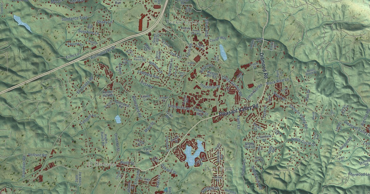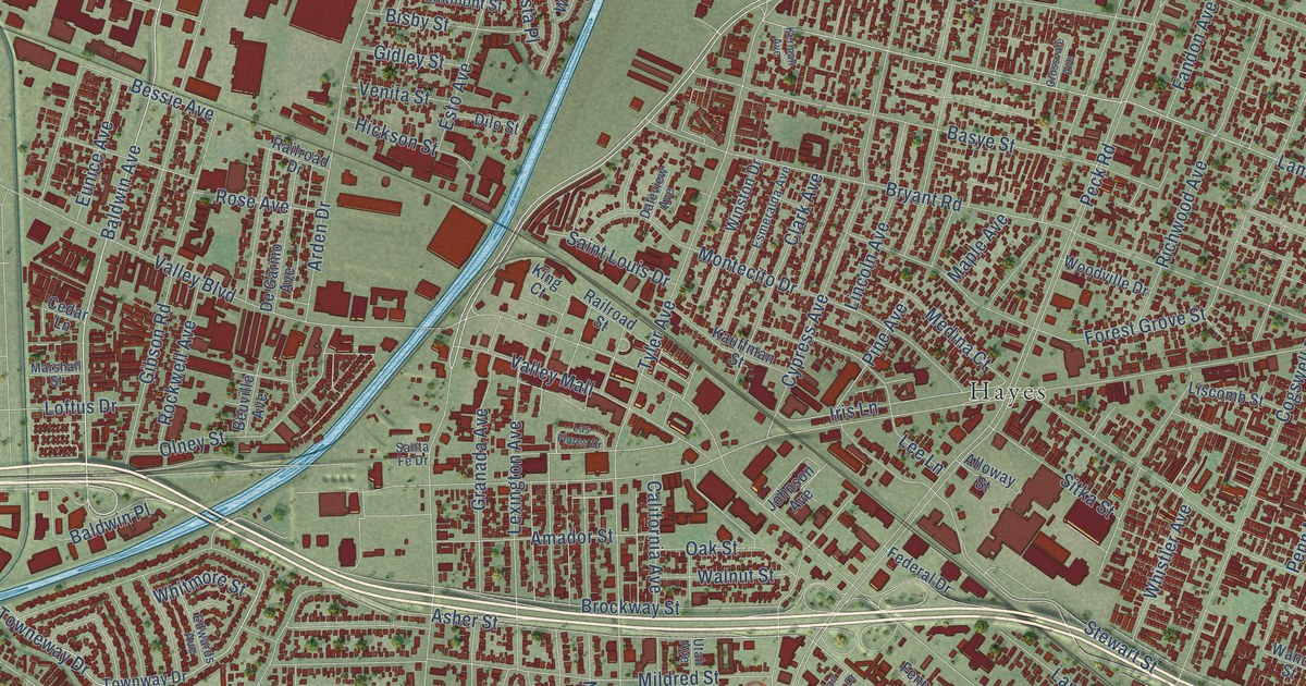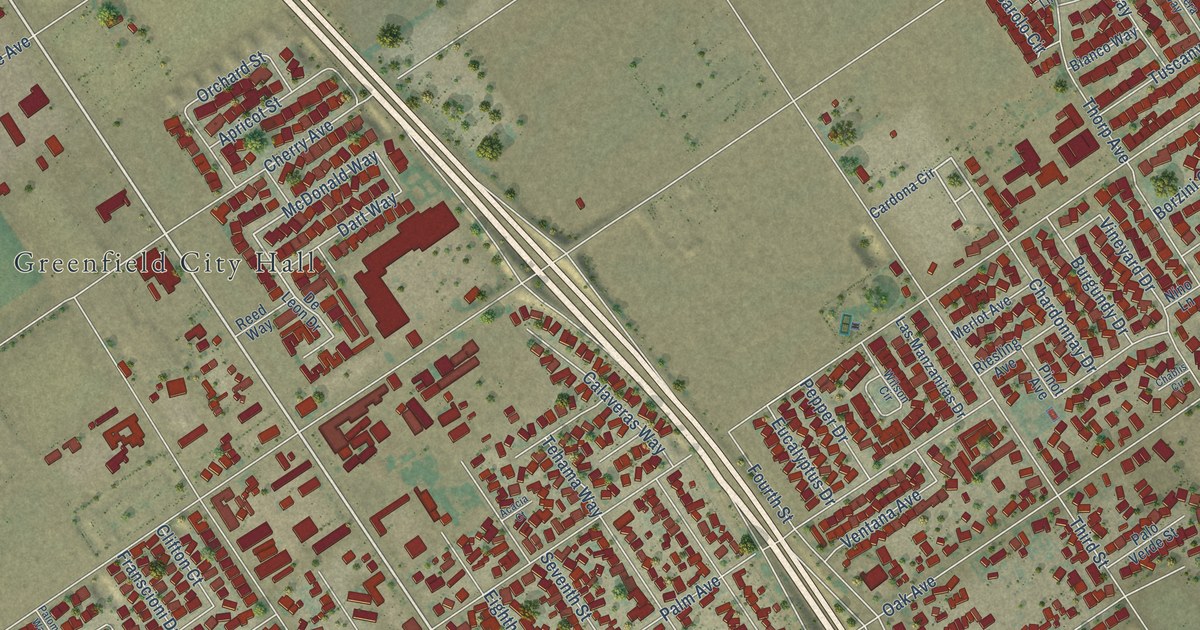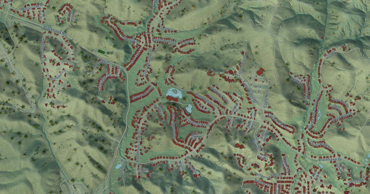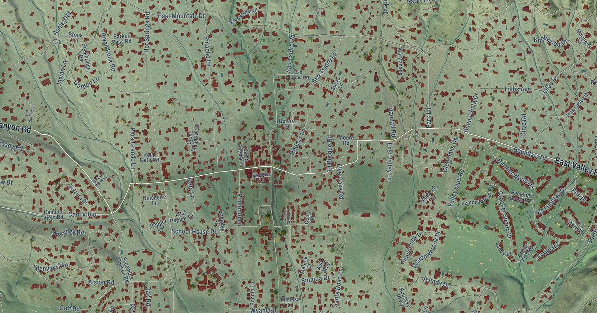
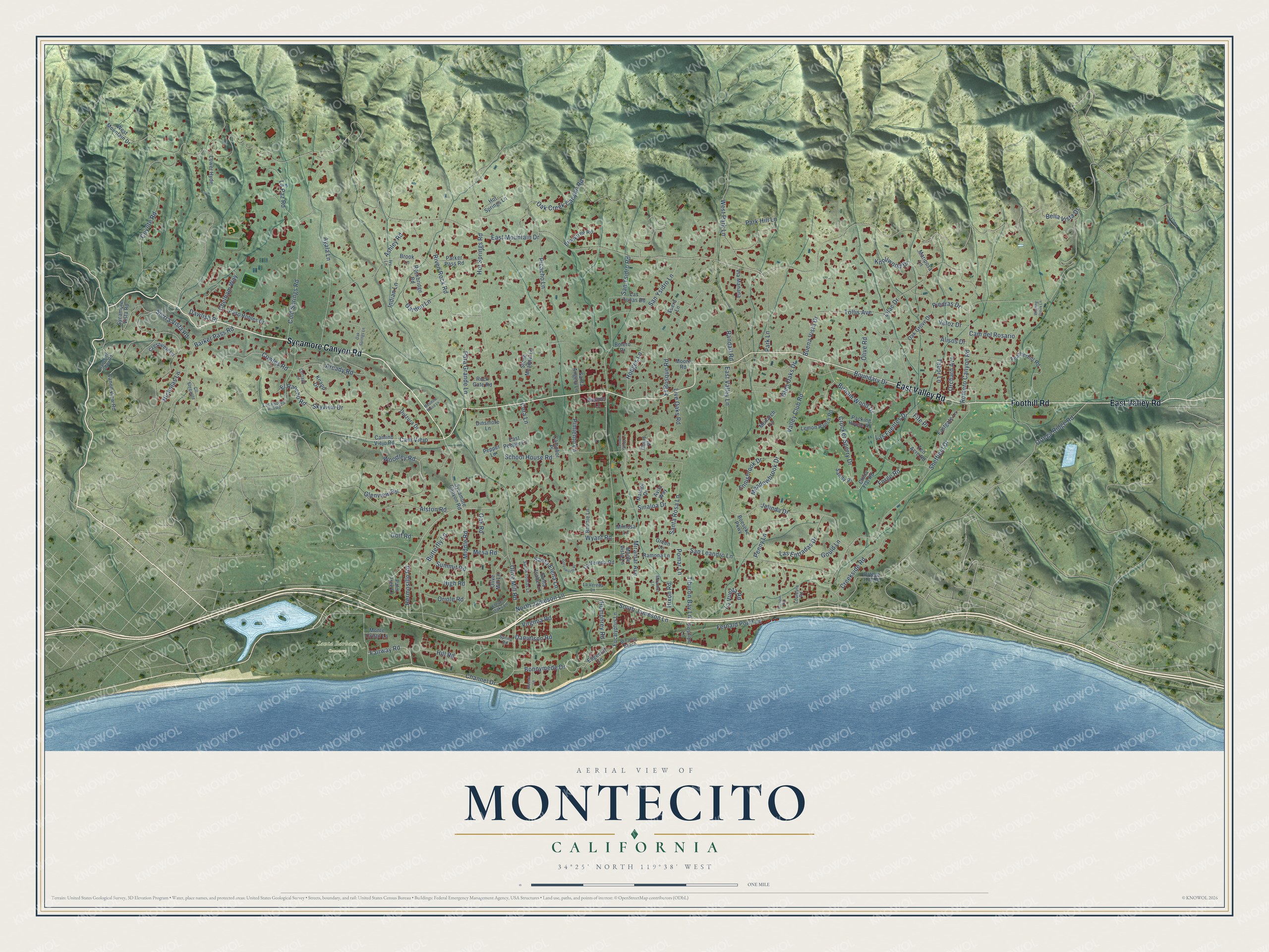
This beautifully detailed map of Montecito, California was created in 2026 using aerial imagery combined with modern topographical, census, street and landmark data. It's a modern aerial view of Montecito in Santa Barbara County, California, that combines modern data with a vintage aesthetic. The roads feature printed names, and if you look closely you can find your exact house accurately shown in its correct location.
Explore an aerial view of Montecito, California
On this map you'll find Santa Barbara Cemetery, Sycamore Canyon Road, Foothill Road, East Valley Road, Cam Viejo, Bonnymede Drive, East Mountain Drive, Hot Springs Road, Channel Drive, South Jameson Lane, San Ysidro Road, North Jameson Lane, and more. Each red shape is a building, so zoom in on the preview and look for yours.
Montecito is a community in Santa Barbara County. The Census Bureau counted 8,638 people here in 2020. The map prints the town name in its title panel, with the coordinates below it.
Take a closer look at the Montecito map
Names on this map
These names are printed on this map.
Places: Santa Barbara Cemetery.
Streets and roads: Sycamore Canyon Road, Foothill Road, East Valley Road, Cam Viejo, Bonnymede Drive, East Mountain Drive, Hot Springs Road, Channel Drive, South Jameson Lane, San Ysidro Road, North Jameson Lane, Romero Canyon Road.
More street names, A to Z
Alisos Drive, Alston Road, Arcady Road, Arroqui Road, Ashley Road, Avila Way, Ayala Lane, Barker Pass Road, Bella Vista Drive, Birnam Wood Drive, Boeseke Parkway, Bolero Drive, Bonnie Lane, Boundary Drive, Brook Lane, Brooktree Road, Buckthorn Road, Buena Vista Drive, Butterfly Lane, Cam del Rosario, Camino Viejo Road, Camphor Place, Canon View Road, Chelham Way, China Flat Road, Cll Elegante, Cold Springs Road, Cota Lane, Cottage Lane, Court Place, Cowles Road, Coyote Road, Creekside Road, Crestview Lane, Crocker Sperry Drive, Danielson Road, Dawlish Place, Dinsmore Lane, Dulzura Drive, Eastgate Lane, East Pepper Lane, East Valley Lane, Edgecliff Lane, El Bosque Road, Eleven Oaks Lane, El Rancho Road, Ennisbrook Drive, Eucalyptus Hill Road, Eucalyptus Lane, Fairway Road, Featherhill Road, Fernald Point Lane, Fife Place, Forge Road, Fuera Lane, Garden Lane, Glen Oaks Drive, Glenview Road, Golf Road, Gould Lane, Green Lane, Greenworth Place, Hermosillo Road, High Road, Hill Road, Hixon Road, Hodges Lane, Hosmer Lane, Hot Springs Lane, Humphrey Road, Indian Lane, Ivy Lane, Jelinda Drive, Knapp Drive, Knollwood Drive, La Paz Road, Las Entradas Drive, Las Fuentes Drive, Las Tunas Road, La Vereda Lane, La Vereda Road, La Vuelta Road, Lemon Grove Lane, Lemon Ranch Road, Lilac Drive, Live Oaks Road, Loureyro Road, Lower Hyde, Maceta Lane, Malaga Drive, Mariposa Lane, Meadowbrook Drive, Meadow Wood Lane, Mesa Road, Middle Road, Mimosa Lane, Miramar Avenue, Miramar Beach, Miramar Lane, Monarch Lane, Monte Cristo Lane, Monte Vista Lane, Moore Road, Nicholas Lane, Oak Creek Canyon Road, Oak Grove Drive, Oak Road, Oak Springs Lane, Olive Mill Lane, Olive Mill Road, Olive Road, Orchard Avenue, Oriole Road, Ortega Hill Road, Ortega Ridge Road, Packing House Road, Palm Tree Lane, Para Grande Lane, Parker Pass Road, Park Hill Lane, Park Lane, Paso Robles Drive, Penny Lane, Pepper Lane, Picacho Lane, Piedras Drive, Pimiento Lane, Pomar Lane, Posilipo Lane, Ramona Lane, Ranchito Vista Road, Randall Road, Riven Rock Road, Rockbridge Road, Rock Gate Road, Sandy Place, San Leandro Lane, Santa Angela Lane, Santa Elena Lane, Santa Isabel Lane, Santa Rosa Lane, Santo Tomas Lane, San Ysidro Lane, School House Road, Sheffield Drive, Sierra Vista Road, Sinaloa Drive, Skyview Drive, Spring Road, Stone Meadow Lane, Summit Road, Sycamore Vista Road, Tabor Lane, Ten Acre Road, Tiburon Bay Lane, Tollis Avenue, Valley Club Road, Veloz Drive, Via Manana, Virginia Road, West Mountain Drive, West Park Lane, Winding Creek Lane, Woodley Road, Wyant Road.
Created by KNOWOL in 2026. The buildings are small red shapes, the roads carry their printed names, and shaded relief shows the shape of the land. The title panel reads "AERIAL VIEW OF MONTECITO CALIFORNIA" with 34°25' NORTH 119°38' WEST.
Hang it in the hallway, the office or the cabin, or give it to someone who left Montecito and still calls it home. Open the preview and look for a street you know. See sizes and frames for the Montecito map.