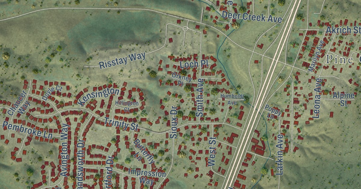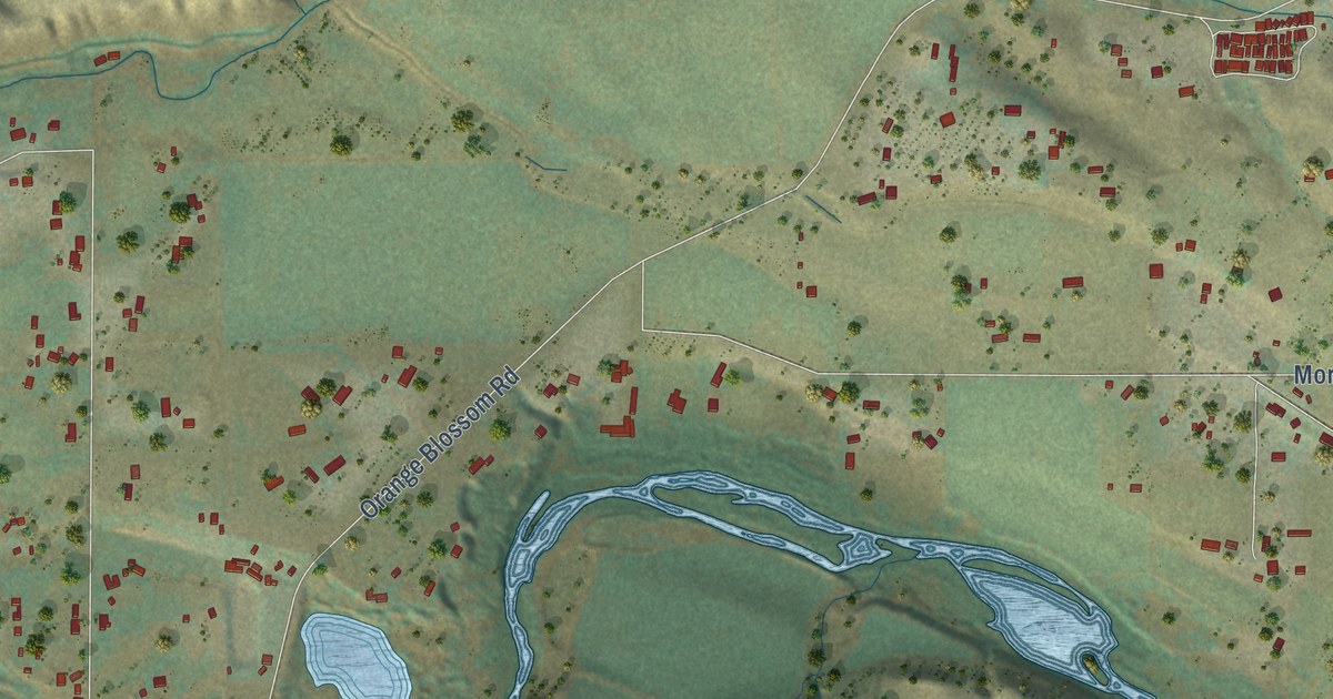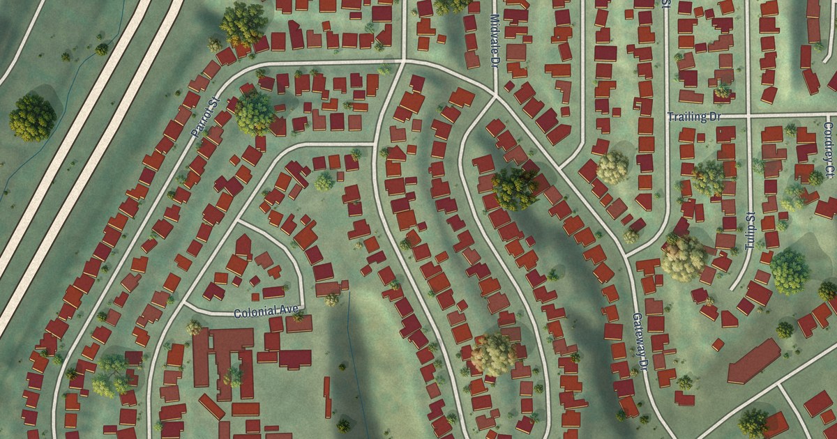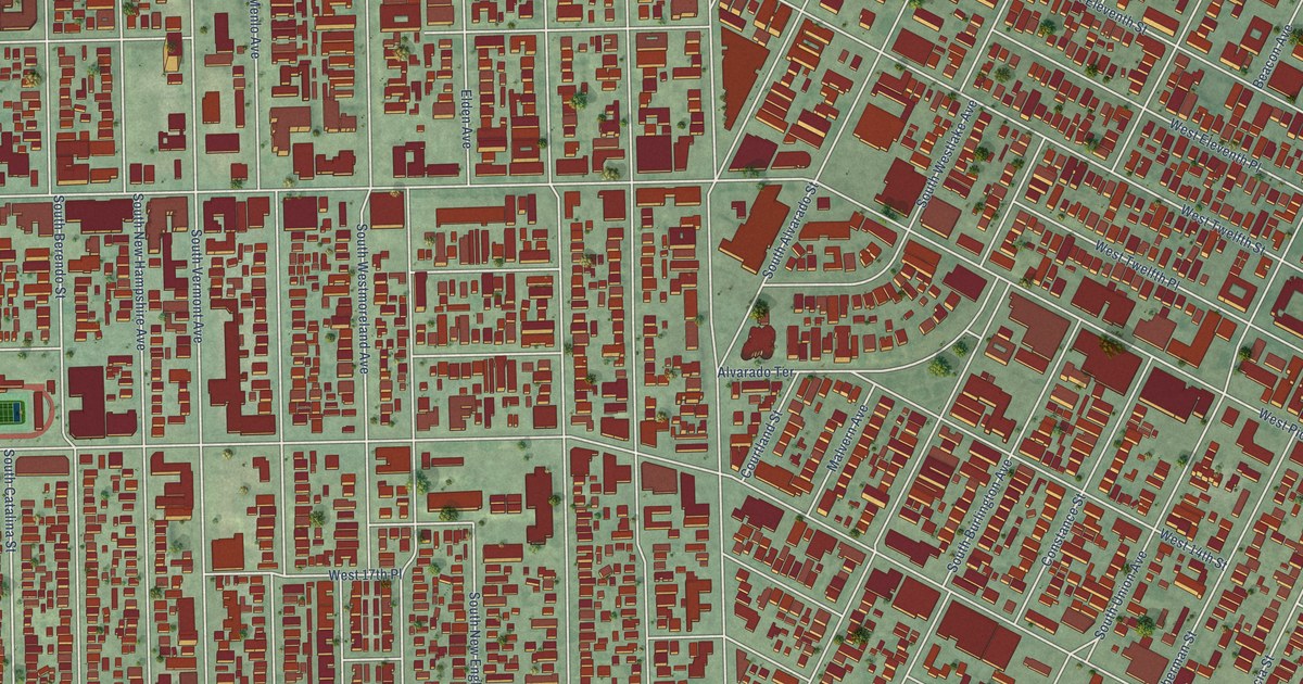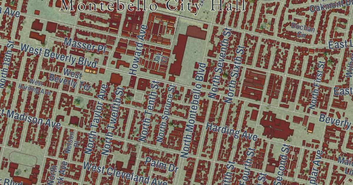
This beautifully detailed map of Montebello, California was created in 2026 using aerial imagery combined with modern topographical, census, street and landmark data. It’s a one-of-a-kind view of Montebello that combines accurate data with a vintage aesthetic. The map shows every building in its true location, many of the roads carry their names, and the shaded topographic relief shows the shape of the land.
Explore an aerial view of Montebello, California
On the map you’ll find Montebello City Hall, Resurrection Cemetery, Bandini, Rio Hondo, Simons, Montebello Golf Course, and Montebello Town Center, along with North Montebello Boulevard, West Olympic Boulevard, South Fourth Street, North First Street, Holger Drive, and more. If you look closely you can even find your house accurately drawn in its correct location. Zoom in on the preview to look for yours.
Did you know this piece of Montebello, California history?
From Ohp.parks.ca.gov: "'Mission Vieja,' Old Mission, was the name given to the first buildings erected, and later abandoned, by the fathers for Mission San Gabriel Arcángel."
Take a closer look at the Montebello map
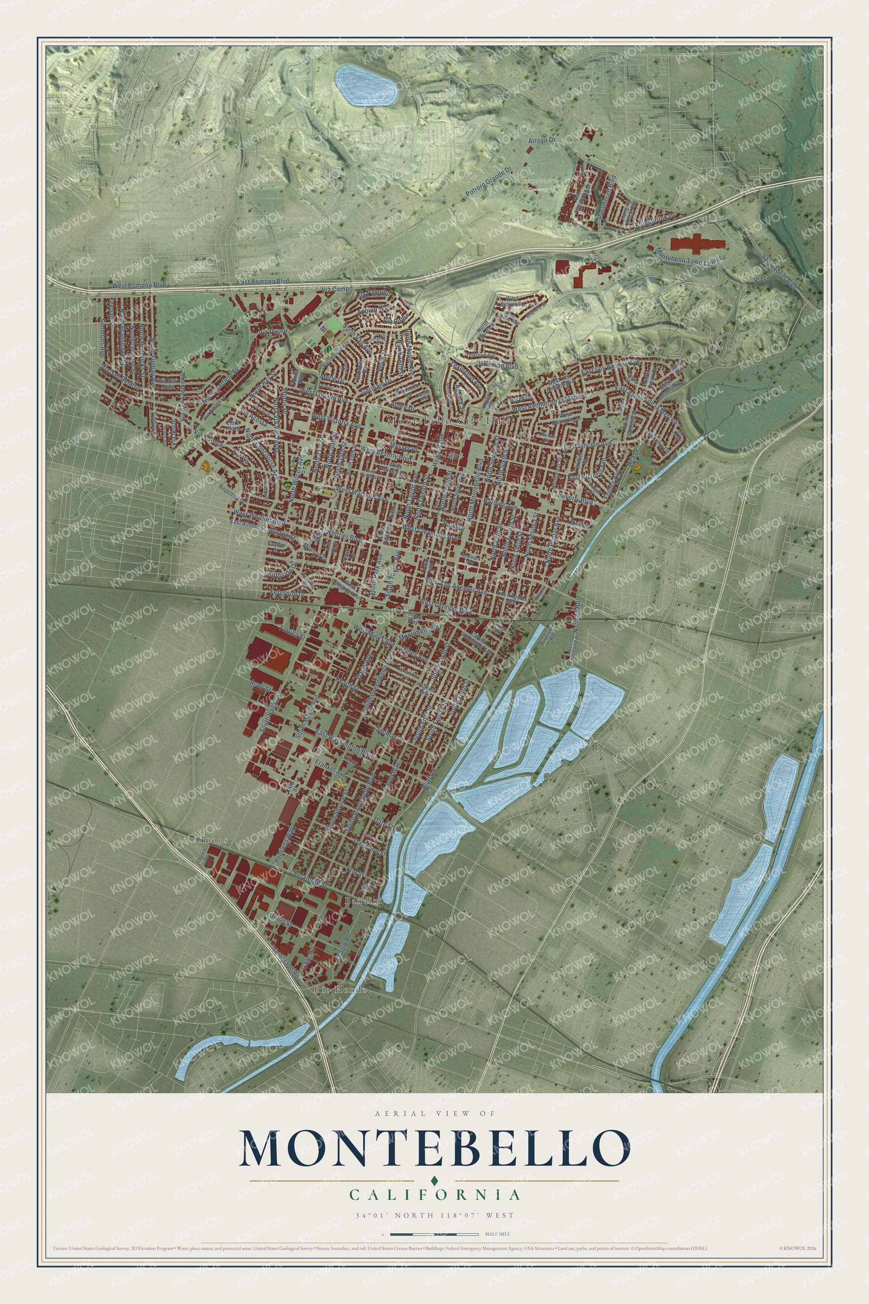
Street and place names on the Montebello, California map
These names are printed on the map of Montebello, California.
Places: Montebello City Hall, Resurrection Cemetery, Rio Hondo, Bandini and Simons.
Streets and roads: East Lincoln Avenue, Southside Drive, West Whittier Boulevard, North Tenth Street, Norman Road, West Beverly Boulevard, North Montebello Boulevard, Bluff Road, South Greenwood Avenue, Whittier Boulevard, West Lincoln Avenue, South Montebello Boulevard.
More street names, A to Z
14th Street, 20th Street, Acco Street, Adelita Street, Aldea Drive, Allis Drive, Allston Street, Appian Way, Arroyo Drive, Azalea Drive, Beach Street, Beverly Boulevard, Birch Street, Brady Avenue, Carmel Court, Carmelita Avenue, Carob Way, Chapin Road, Church Road, Cuesta Way, Darcy Drive, Date Street, Davis Avenue, Dochan Circle, Donna Way, East Allston Street, East Avenue de la Merced, East Los Amigos Avenue, Easton Street, East Pomona Boulevard, East Victoria Avenue, East Washington Boulevard, El Camino Drive, Ellingbrook Drive, Elm Street, Ferguson Drive, Findlay Avenue, Flotilla Street, Forbes Avenue, Frankel Avenue, Gage Road, Gardner Drive, Germain Drive, Given Place, Hanging Rock Avenue, Harding Avenue, Holger Drive, Howard Avenue, Hughes Avenue, Jacmar Drive, Jay Court, Jefferson Boulevard, Keenan Street, Lexington Avenue, Libre Plaza, Los Angeles Avenue, Maiden Lane, Malone Drive, Marek Drive, Masser Place, Medford Drive, Merle Drive, Mines Avenue, Montebello Town Center, Montebelo Way, Morris Place, Natasha Lane, Neil Armstrong Street, Nelson Place, Newmark Mall, North 16th Street, North 18th Street, North 19th Street, North 20th Street, North 21st Street, North Adobe Avenue, North Bradshawe Street, North Concourse Avenue, North Fifth Street, North Findlay Avenue, North First Street, North Fourth Street, North Garfield Avenue, North Hay Street, North Hendricks Street, North Iguala Street, North Juarez Street, North Leonard Street, North Maple Avenue, North Orcutt Drive, North Park Avenue, North Poplar Avenue, North Sanchez Street, North Second Street, North Seventh Street, North Sixth Street, North Spruce Street, North Taylor Avenue, North Third Street, North Twelfth Street, North Vail Avenue, North Via Val Verde, North Wilcox Avenue, Oakwood Street, Palm Drive, Paramount Boulevard, Peerless Way, Perry Street, Pickering Way, Plaza, Potrero Grande Drive, Rancho Drive, Raywood Avenue, Rea Drive, Repetto Avenue, Rio Blanco Street, Rio del Sol, Riverview Road, Rose Lane, San Antonio Drive, San Gabriel Boulevard, Scott Avenue, Simmons Avenue, Sonora Street, South 18th Street, South Fifth Street, South Fourth Street, South Maple Avenue, South Park Avenue, South Sixth Street, South Spruce Street, South Taylor Avenue, South Tenth Street, South Third Street, South Vail Avenue, Sycamore Street, Tampico Way, Telegraph Road, Truck Way, Union Street, Van Norman Road, Via Acosta, Via Altamira, Via Campo, Via Corona, Via Lucia, Via Miramonte, Via Norte, Via Palermo, Via Paseo, Via Roma, Via San Carlo, Via San Clemente, Via San Delarro, Via Vis, West Ashiya Road, West Avenue de la Merced, West Beverly Terrace, West Cleveland Avenue, West Colegrove Avenue, West Harding Avenue, West Liberty Avenue, West Los Amigos Avenue, West Los Angeles Avenue, West Madison Avenue, West Mines Avenue, Westmoreland Drive, West Oakmont Drive, West Olympic Boulevard, West Pomona Boulevard, West Roosevelt Avenue, West Victoria Avenue, Wilber Place, Yorktown Avenue.
See the Montebello, California map on a wall
The Montebello map as an 18 x 24 inch print in a black frame.

This beautifully detailed map of Montebello makes an attractive addition to your office, library, or den, and it can even be used to teach children the geography and history of the area. It also makes a great gift for anyone who grew up in Montebello or moved away. When you’re done exploring, click here to get your copy of the Montebello map.