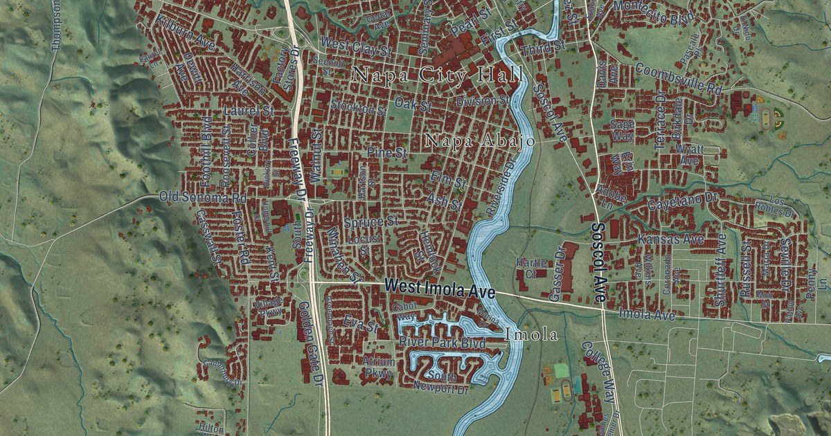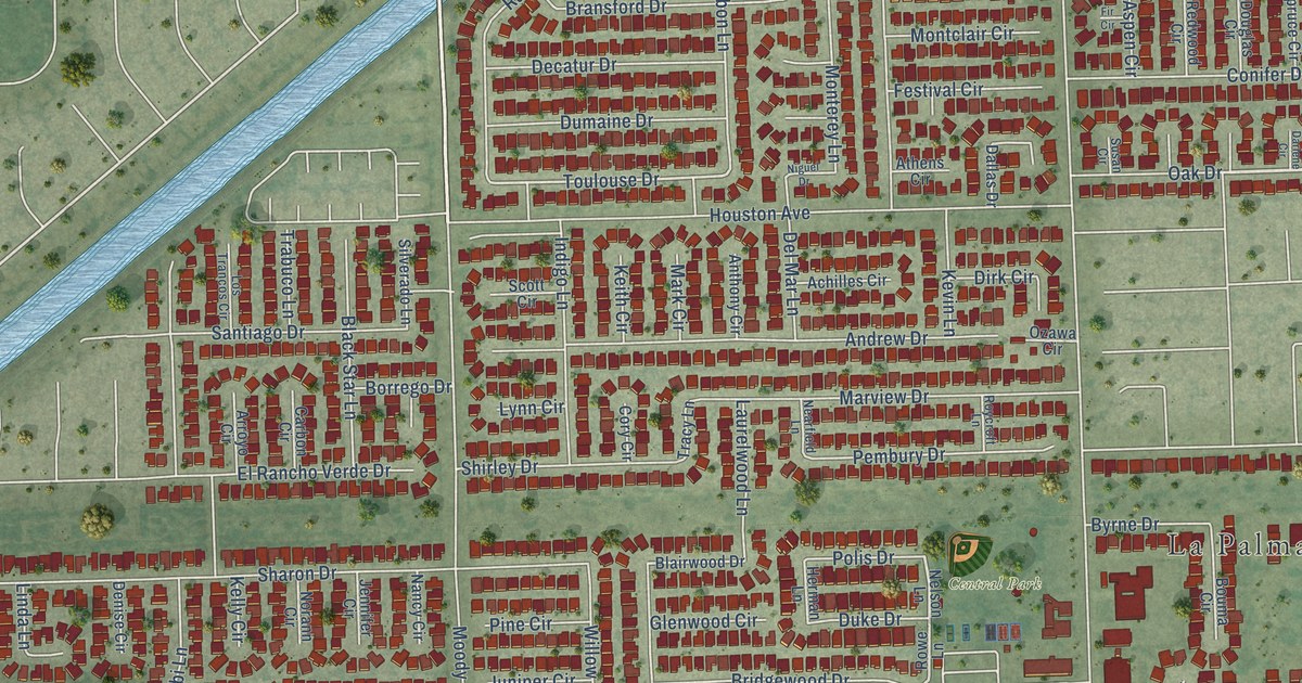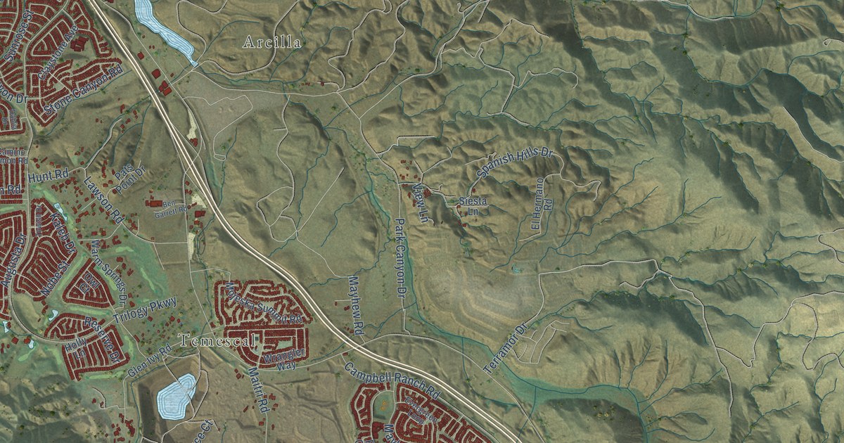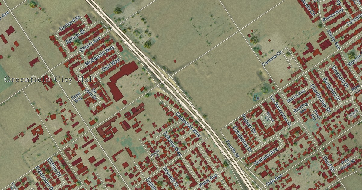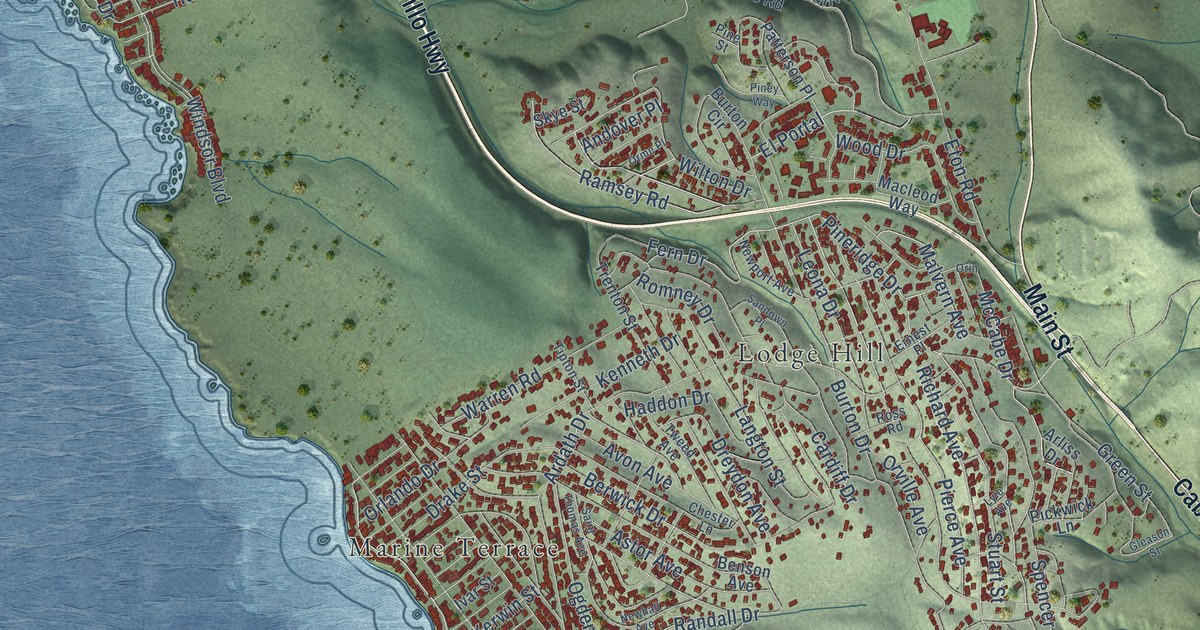
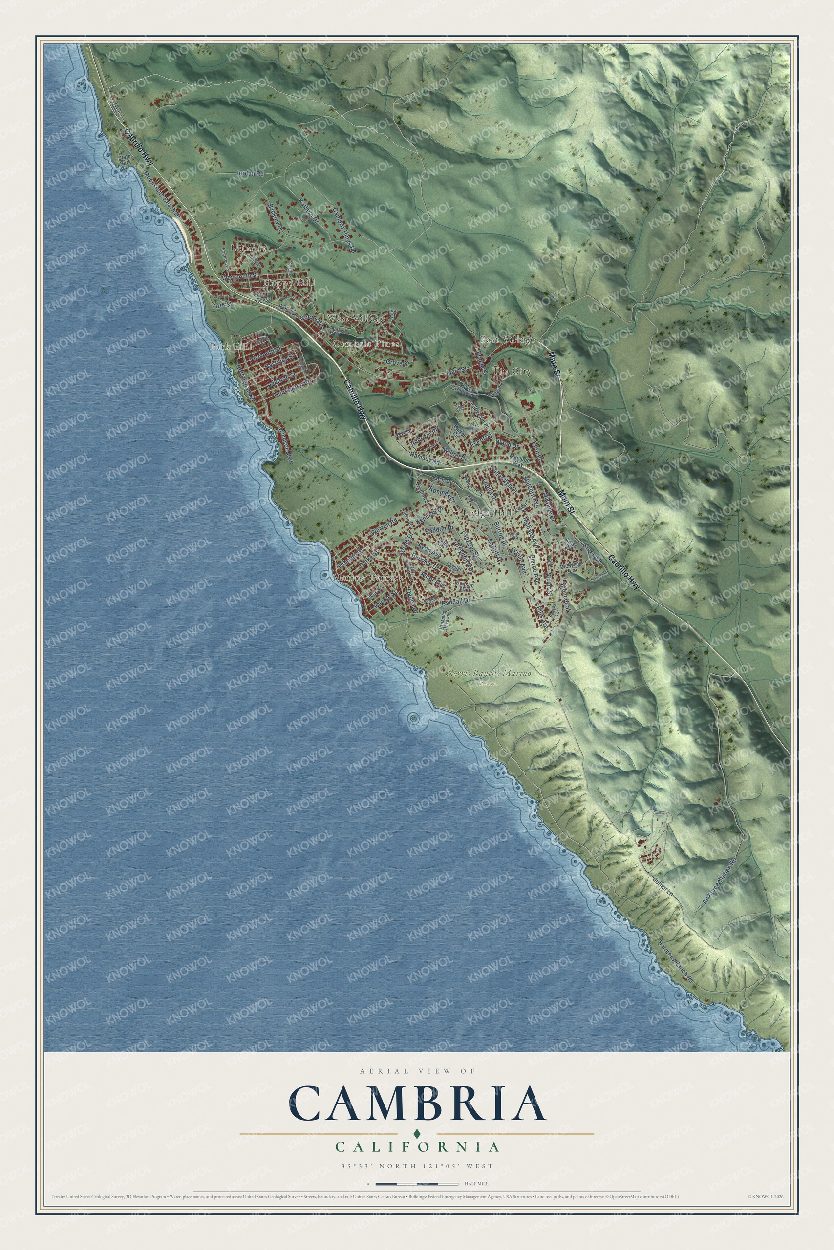
This beautifully detailed map of Cambria, California was created in 2026 using aerial imagery combined with modern topographical, census, street and landmark data. It's a modern aerial view of Cambria in San Luis Obispo County, California, that combines modern data with a vintage aesthetic. The roads feature printed names, and if you look closely you can find your exact house accurately shown in its correct location.
Explore an aerial view of Cambria, California
On this map you'll find Leimert, Happy Hill, West Village, Park Hill, Cambria Pines, Norris Rancho Marino Reserve, East Village, Lodge Hill, Marine Terrace, Tin City, Main Street, Cabrillo Highway, and more. Each red shape is a building, so zoom in on the preview and look for yours.
Every town has a first chapter, and Cambria is no exception. The National Register of Historic Places puts it this way: "Not only is the Guthrie House a vestige of Cambria's early pattern of growth,
it is also a fine example of small town architectural development."
Cambria is a community in San Luis Obispo County. The Census Bureau counted 5,678 people here in 2020.
Take a closer look at the Cambria map
Names on this map
These names are printed on this map.
Places: Leimert, Happy Hill, West Village, Park Hill, Cambria Pines, Norris Rancho Marino Reserve, East Village, Lodge Hill, Marine Terrace, Tin City and State Park.
Streets and roads: Main Street, Cabrillo Highway, Ardath Drive, Pineridge Drive, Fern Drive, Nottingham Drive, Wilton Drive, Randall Drive, Burton Drive, Harmony Ranch Road, Air Force Station Road, Julian Lane.
More street names, A to Z
Andover Place, Arliss Drive, Ashby Lane, Astor Avenue, Avon Avenue, Benson Avenue, Berwick Drive, Bridge Street, Brighton Lane, Buckley Drive, Burton Circle, Cambria Pines Road, Cardiff Drive, Charing Lane, Chester Lane, Cornwall Street, Croyden Lane, Drake Street, Dreydon Avenue, Ellis Avenue, El Portal, Ernest Place, Eton Road, Exeter Lane, Exotic Garden Drive, Gleason Street, Green Street, Grove Street, Guildford Drive, Haddon Drive, Hastings Street, Huntington Road, Iva Court, Ivar Street, Jordan Road, Kathryn Drive, Kenneth Drive, Kent Street, Kerwin Street, Langton Street, Leighton Street, Leona Drive, Lyle Avenue, Macleod Way, Malvern Avenue, McCabe Drive, Moonstone Beach Drive, Newhall Avenue, Newport Avenue, Norfolk Street, Norton Lane, Ogden Drive, Orin, Orlando Drive, Orme Place, Orville Avenue, Patterson Place, Pickwick Lane, Pierce Avenue, Pine Street, Piney Way, Plymouth Street, Ramsey Road, Richard Avenue, Rodeo Grounds Road, Romney Drive, Ross Road, Saint Thomas Avenue, Sandown Place, Sheffield Street, Skye Street, Spencer Street, Stafford Street, Stuart Street, Tipton Street, Trenton Street, Tweed Avenue, Unnamed Driveway, Village Lane, Warren Road, Weymouth Street, Windsor Boulevard, Wood Drive, York Street.
Created by KNOWOL in 2026. The buildings are small red shapes, the roads carry their printed names, and shaded relief shows the shape of the land. The title panel reads "AERIAL VIEW OF CAMBRIA CALIFORNIA" with 35°33' NORTH 121°05' WEST.
Hang it in the hallway, the office or the cabin, or give it to someone who left Cambria and still calls it home. Open the preview and look for a street you know. See sizes and frames for the Cambria map.