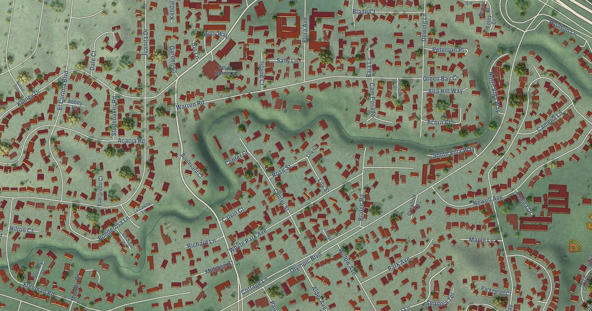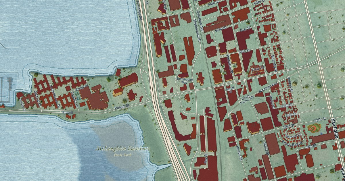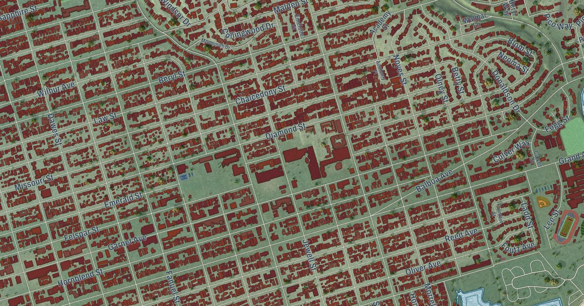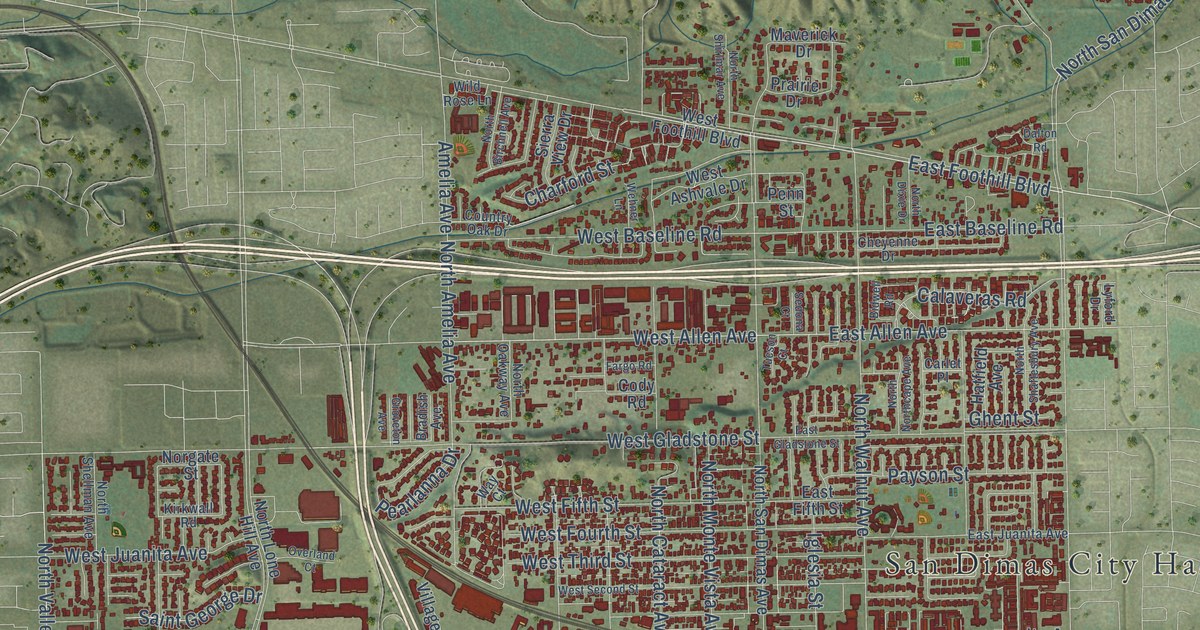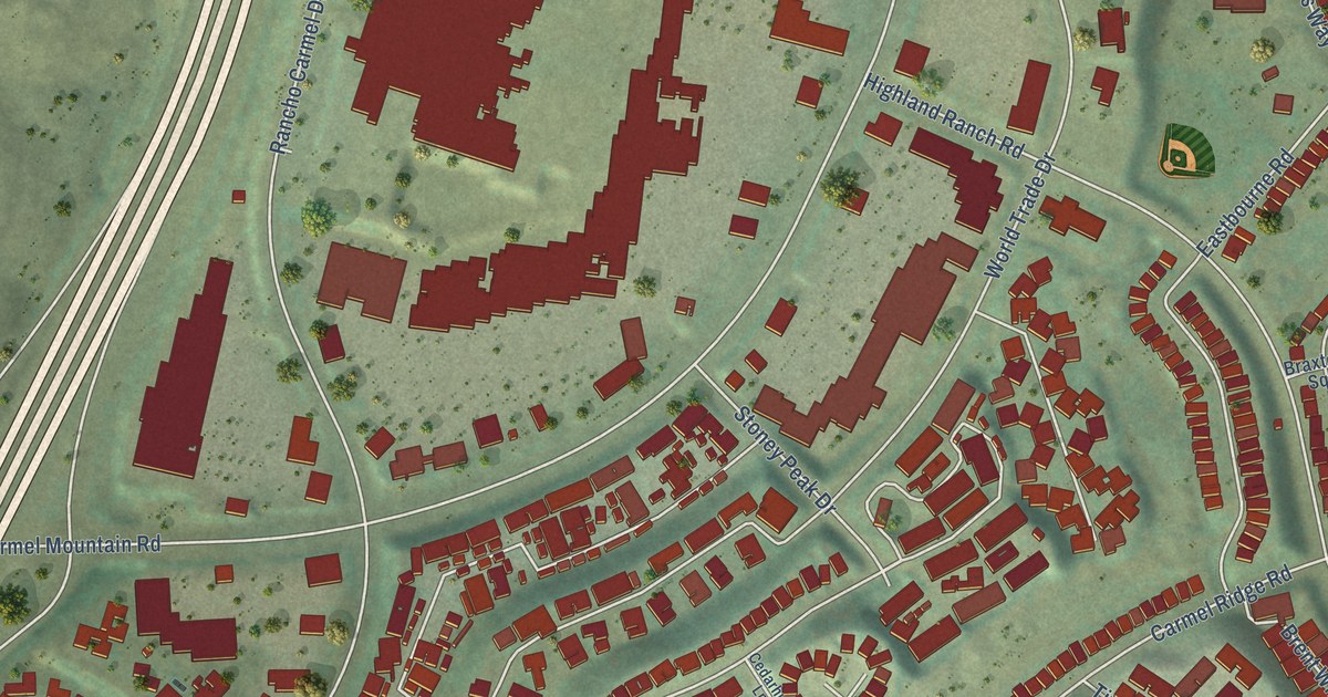
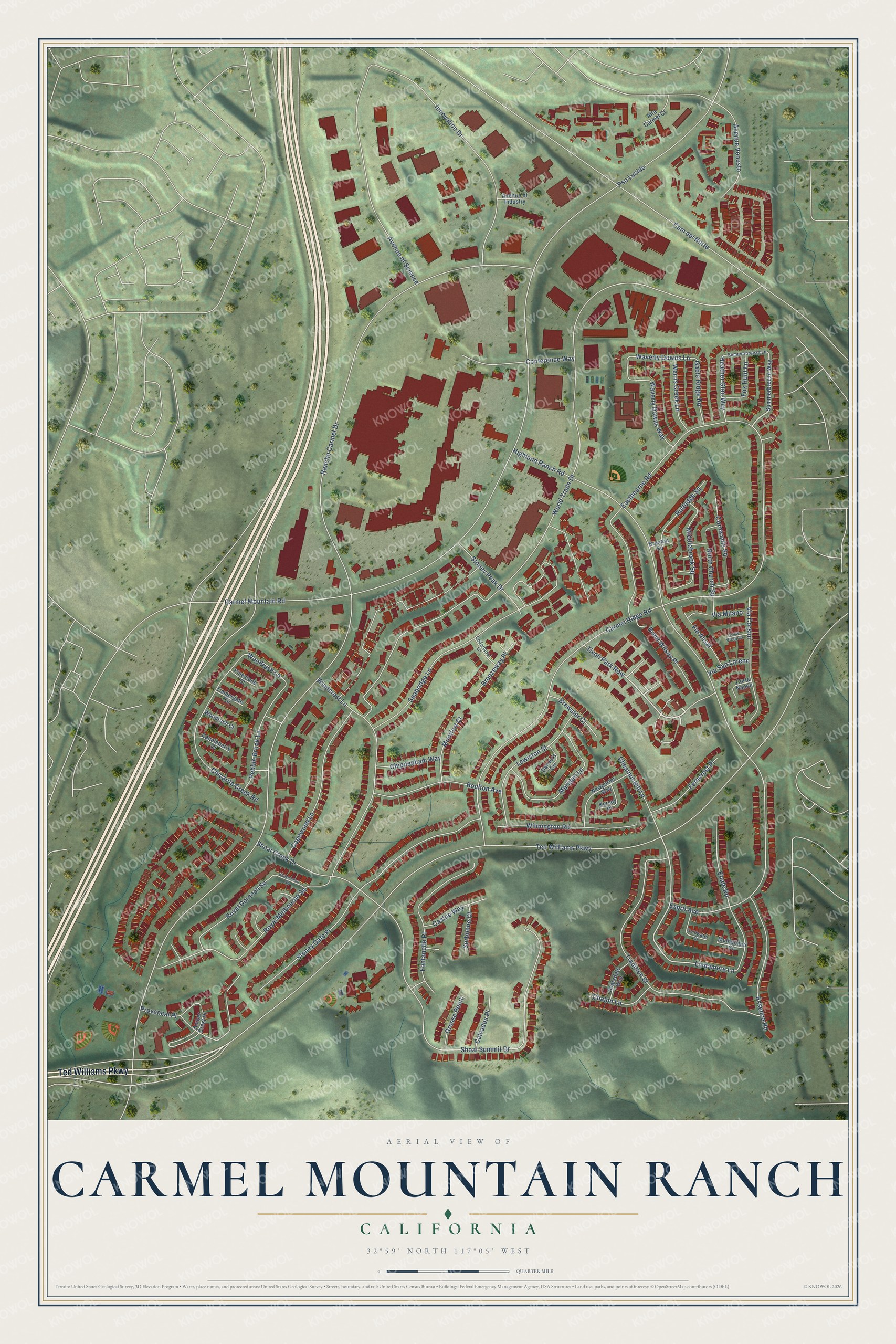
This beautifully detailed map of Carmel Mountain Ranch, California was created in 2026 using aerial imagery combined with modern topographical, census, street and landmark data. It's a modern aerial view of Carmel Mountain Ranch in San Diego County, California, that combines modern data with a vintage aesthetic. The roads feature printed names, and if you look closely you can find your exact house accurately shown in its correct location.
Explore an aerial view of Carmel Mountain Ranch, California
On this map you'll find Ted Williams Parkway, Tivoli Park Row, Lindamere Lane, Woodrush Lane, Waverly Downs Lane, Rancho Carmel Drive, Carmel Mountain Road, Carmel Ridge Road, World Trade Drive, Highland Ranch Road, Cam del Norte, Shoal Creek Drive, and more. Each red shape is a building, so zoom in on the preview and look for yours.
Every town has a first chapter, and Carmel Mountain Ranch is no exception. The City of San Diego puts it this way: "Carmel Mountain Ranch includes open space areas and an extensive trail system."
Carmel Mountain Ranch is a place in San Diego County.
Take a closer look at the Carmel Mountain Ranch map
Names on this map
These names are printed on this map.
Streets and roads: Ted Williams Parkway, Tivoli Park Row, Lindamere Lane, Woodrush Lane, Waverly Downs Lane, Rancho Carmel Drive, Carmel Mountain Road, Carmel Ridge Road, World Trade Drive, Highland Ranch Road, Cam del Norte, Shoal Creek Drive.
More street names, A to Z
Alta Carmel Court, Amber Crest Place, Avenue of Industry, Avenue of Science, Avenue Venusto, Ballybunion Square, Boulton Avenue, Braxton Square, Breezeway Place, Brent Wilsey Place, Brewster Court, Calvados Place, Candleberry Court, Capewood Lane, Castile Way, Cedarhurst Lane, Chalon Lane, Chestnut Hill Lane, Chicarita Creek Road, Chippenham Way, Coldwater Court, Conference Way, Cornwallis Square, Corte Napoli, Corte Vicenza, Danvers Circle, Eastbourne Road, Esprit Avenue, Essence Road, Etude Road, Ferncrest Place, Fontanelle Place, Fox Hunt Lane, Gable Ridge Road, Grosse Point, Heather Glen Way, Innovation Drive, Kersey Place, Lewiston Street, Meriden Lane, Middlebrook Square, Montfort Court, Mulholland Court, Newporter Way, North Church Square, Pebble Brook Lane, Pinestone Court, Provencal Place, Pso Lucido, Royal Dornoch Square, Royal Melbourne Square, Rutledge Square, Scarsdale Way, Seabridge Lane, Shoal Summit Drive, Sorbonne Court, Stoney Gate Place, Stoney Peak Drive, Summerbreeze Lane, Summerbreeze Way, Timbergate Circle, Tradition Street, Via Alisal, Via Corsini, Via Milano, Via San Loreno, Waverly Downs Way, Werris Creek Lane, Wilmington Road, Windcrest Lane, Woodrush Court.
Created by KNOWOL in 2026. The buildings are small red shapes, the roads carry their printed names, and shaded relief shows the shape of the land. The title panel reads "AERIAL VIEW OF CARMEL MOUNTAIN RANCH CALIFORNIA" with 32°59' NORTH 117°05' WEST.
Hang it in the hallway, the office or the cabin, or give it to someone who left Carmel Mountain Ranch and still calls it home. Open the preview and look for a street you know. See sizes and frames for the Carmel Mountain Ranch map.