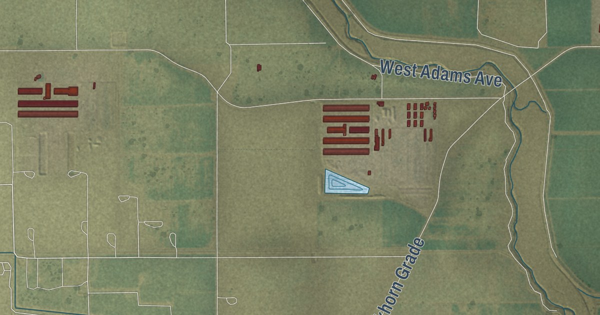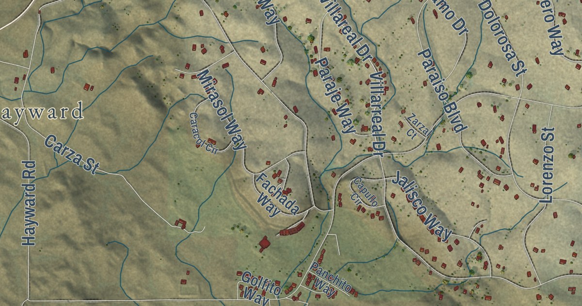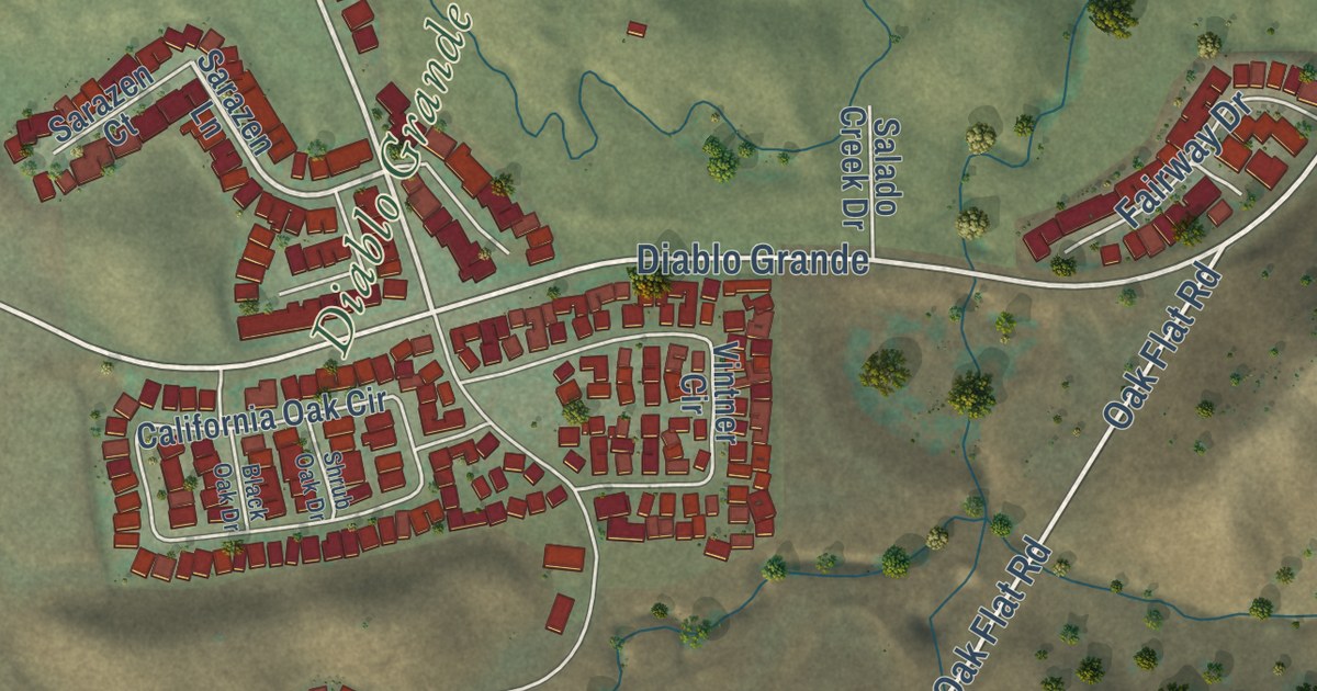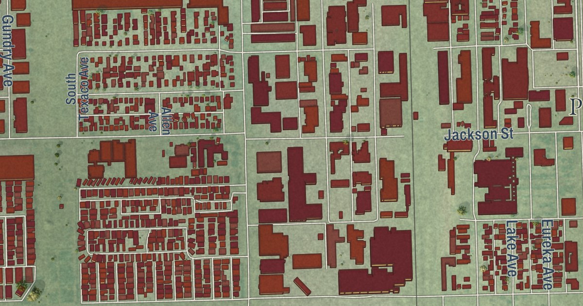
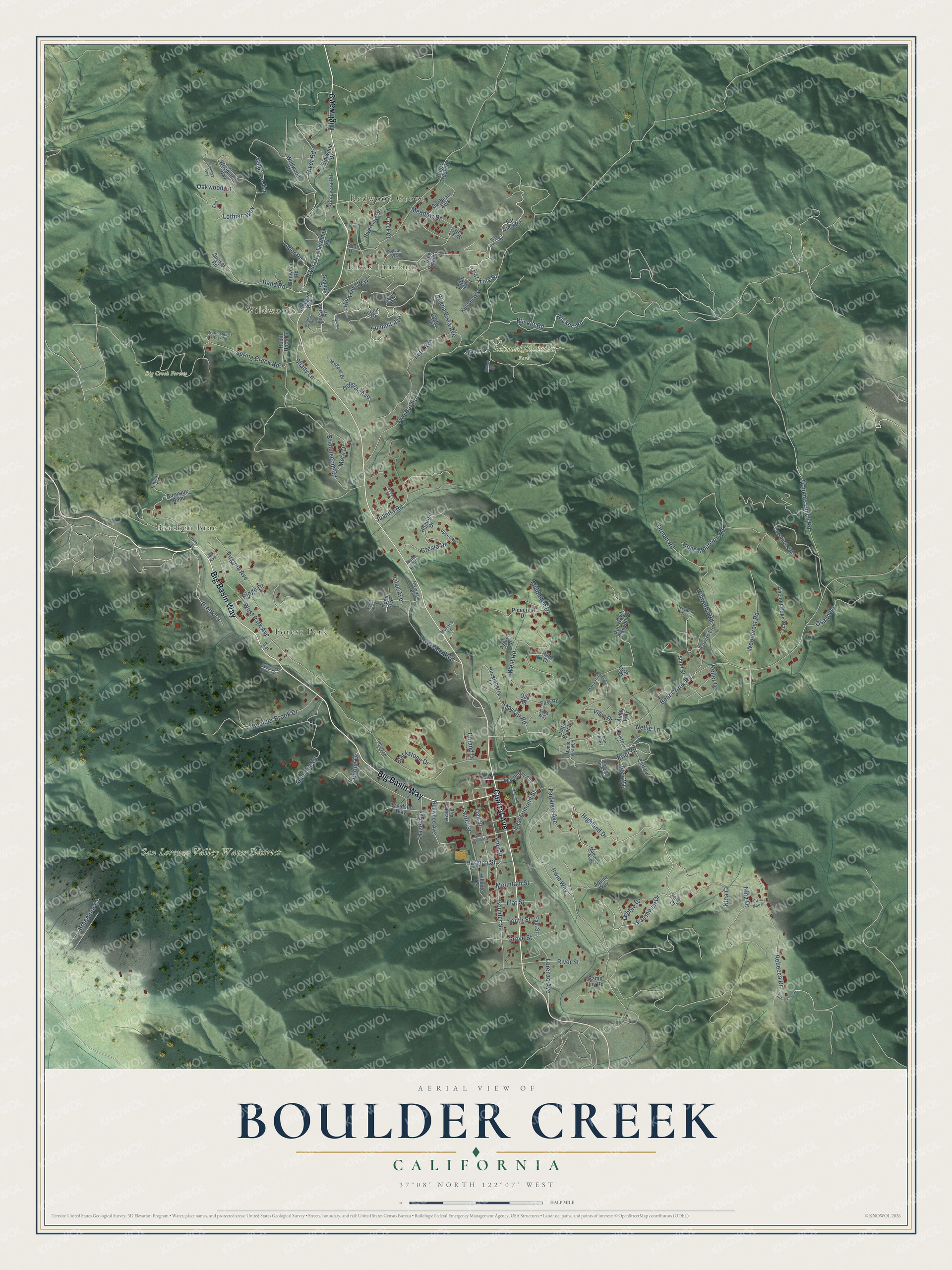
This beautifully detailed map of Boulder Creek, California was created in 2026 using aerial imagery combined with modern topographical, census, street and landmark data. It’s a one-of-a-kind view of Boulder Creek that combines accurate data with a vintage aesthetic. The map shows every building in its true location, many of the roads carry their names, and the shaded topographic relief shows the shape of the land.
Explore an aerial view of Boulder Creek, California
On the map you’ll find Redwood Grove, Rices Junction, Wildwood, Bracken Brae, Big Creek Forests, Redwood Christian Park, San Lorenzo Valley Water District, and Forest Park, along with Highway 9, Big Basin Way, Central Avenue, Highland Drive, and more. If you look closely you can even find your house accurately drawn in its correct location. Zoom in on the preview to look for yours.
Did you know this piece of Boulder Creek, California history?
From the History of Santa Cruz County: "Boulder Creek was named by the Americans. Anyone who has seen the many bowlders in the bed of this creek will readily understand the significance of the name."
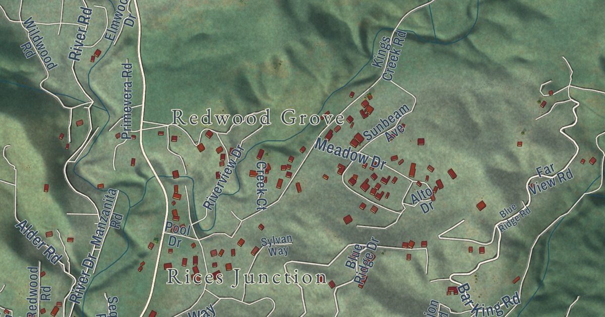
Take a closer look at the Boulder Creek map
Street and place names on the Boulder Creek, California map
These names are printed on the map of Boulder Creek, California.
Places: Redwood Grove, Rices Junction, Wildwood, Bracken Brae, Big Creek Forests, Redwood Christian Park, San Lorenzo Valley Water District and Forest Park.
Streets and roads: Highway 9, Big Basin Way, Central Avenue, Highland Drive, Wicket Road, Fairmount Drive, Summit Avenue, Irwin Way, Bar King Road, Brier Drive, East Lomond Street, Buena Vista Avenue.
More street names, A to Z
Alder Road, Alto Drive, Amity Way, Ancient Oaks Way, Aquila Way, Asbury Lane, Azalea Avenue, Azalea Lane, Band Road, Bear Creek Road, Bishop Lane, Blackstone Drive, Blue Ridge Drive, Blue Ridge Road, Bonnie Brier Drive, Boulder Brook Drive, Boulder Street, Braemoor Court, Brimblecom Road, Brook Lane, Burnside Bend, Camp Joy Road, Cheney Way, Chipmonk Hollow Road, Cliff Vw, Cortez Drive, Creek Court, Cresta Drive, Davidson Way, Debbie Drive, Dorrance Road, Douglas Avenue, East Road, East Street, Eden Avenue, Elm, Elmwood Drive, Elsie Mae Drive, Fairview Avenue, Far View Road, Fawn Court, Fern Avenue, Fireside Road, Flat Street, Frost Bl, Glen Way, Grove Drive, Grove Street, Harmon Street, Haven Lane, Hazel Avenue, Hazel Brake, Hiawatha Road, Highrise Drive, Hillside Drive, Hillside Terrace, Hoot Owl Way, Hope Mountain Road, Hopkins Gulch Road, Huckleberry Lane, Irene Avenue, Juanita Road, Keller Drive, Kings Creek Road, Lanktree Lane, Laurel Street, Lilac Avenue, Little Bear Lane, Look Court, Lorenzo Avenue, Lothian Way, Lovers Lane, Madrona Road, Madrone Avenue, Madrone Drive, Manzanita Avenue, Manzanita Road, Margaret Drive, Mayfair Road, Meadow Drive, Menlo Road, Middleton Avenue, Middleton Drive, Monaco Lane, Monte Vista Lane, More Drive, Mountain Street, Nellie Lane, Nina Court, Nina Drive, North Spring Creek Road, Oak Avenue, Oak Road, Oak Street, Oakwood Lane, Orchard Drive, Orman Road, Osa Viejo, Overlook Drive, Paone Drive, Park Street, Pine Court, Pinecrest Drive, Pine Street, Pleasant Way, Pool Drive, Primevera Road, Railroad Avenue, Rebecca Drive, Red Hawk Canyon Road, Redwood Avenue, Redwood Road, Ridge Drive, Rincon Way, Riverdale Bl, Riverdale Boulevard, River Drive, River Road, River Street, Riverview Drive, Robin Hood Lane, Santa Cruz Street, Scenic Drive, Sequoia Avenue, Sequoia Road, Shady Lane, Short Street, South Street, Spring Creek Road, Sunbeam Avenue, Sunset Road, Sylvan Way, Tojon Road, Two Bar Road, Unarland Lane, Upland Drive, Upper Road, View Drive, Villa Way, Virginia Avenue, West Lomond Street, West Park Avenue, West Road, Wickert Road, Wildrose Terrace, Wildwood Road, Willow Avenue, Woodcrest Road, Woodland Way.
See the Boulder Creek, California map on a wall
The Boulder Creek map as an 18 x 24 inch print in a black frame.

This beautifully detailed map of Boulder Creek makes an attractive addition to your office, library, or den, and it can even be used to teach children the geography and history of the area. It also makes a great gift for anyone with Boulder Creek roots. When you’re done exploring, click here to get your copy of the Boulder Creek map.