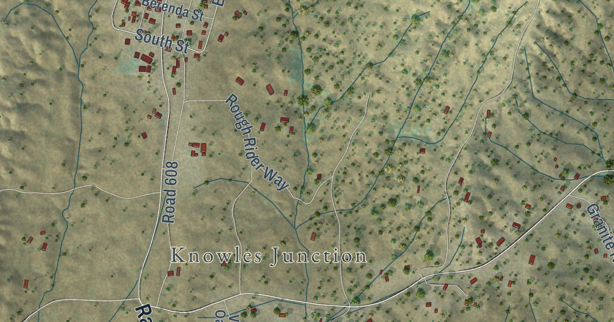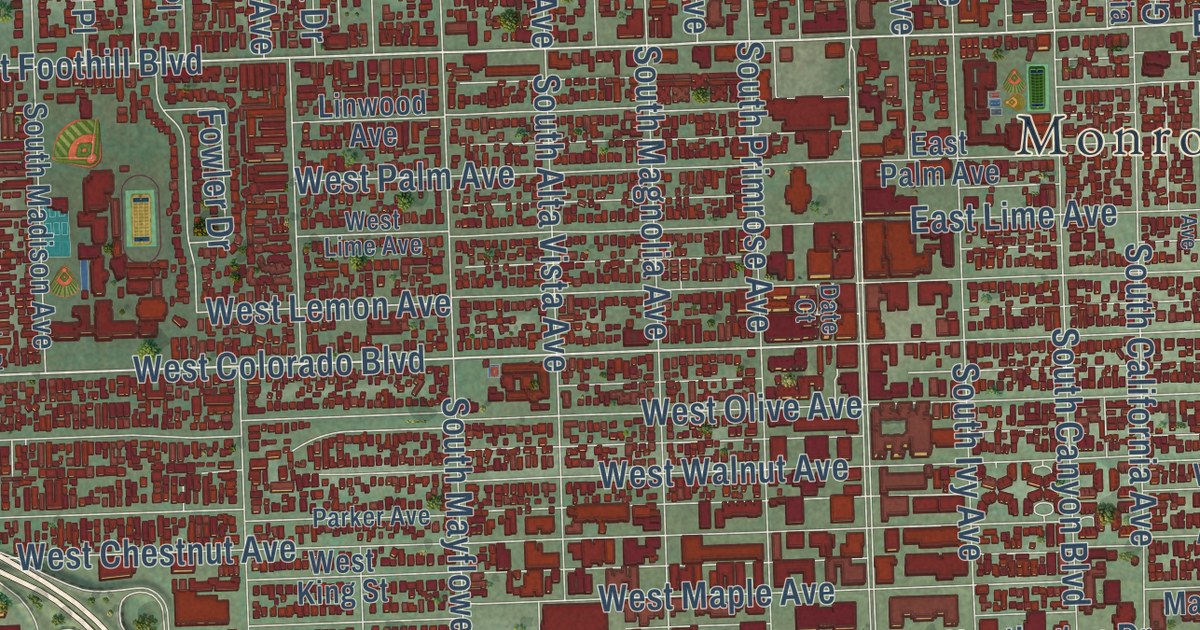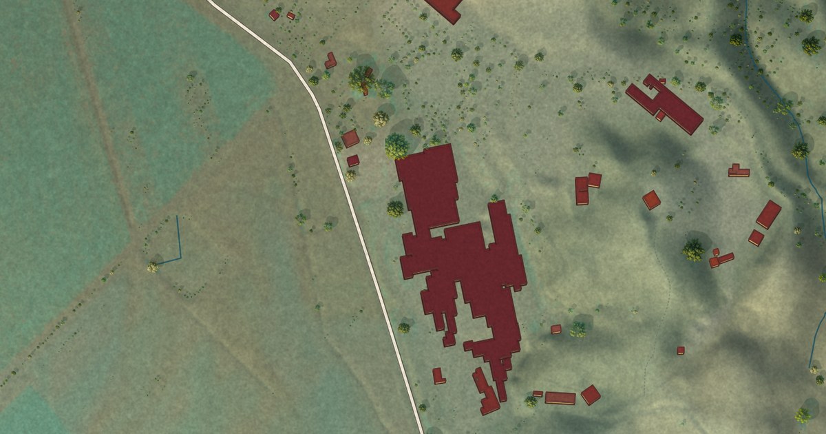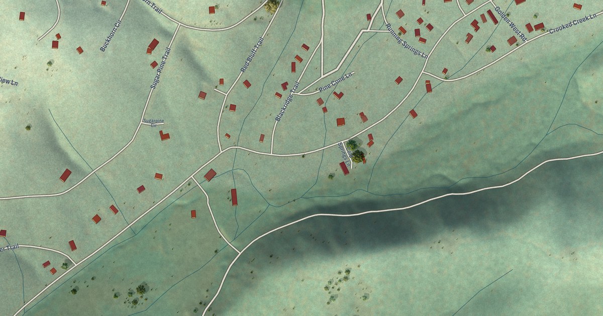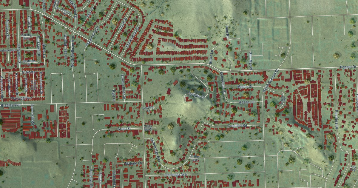
This beautifully detailed map of Bostonia, California was created in 2026 using aerial imagery combined with modern topographical, census, street and landmark data. It’s a one-of-a-kind view of Bostonia that combines accurate data with a vintage aesthetic. The map shows every building in its true location, many of the roads carry their names, and the shaded topographic relief shows the shape of the land.
Explore an aerial view of Bostonia, California
On the map you’ll find Pepper Drive, Crosby Street, Greenfield Drive, Graves Avenue, North First Street, Magnolia Avenue, East Bradley Avenue, Sumner Avenue, Peerless Drive, Poinciana Drive, Persimmon Avenue, Dawnridge Avenue, and more. If you look closely you can even find your house accurately drawn in its correct location. Zoom in on the preview to look for yours.
Did you know this piece of Bostonia, California history?
From the San Diego History Seeker: "There was a time when Bostonia was the dream of two men who, like many others, came from elsewhere to buy land in San Diego County and pursue new lives."
Take a closer look at the Bostonia map
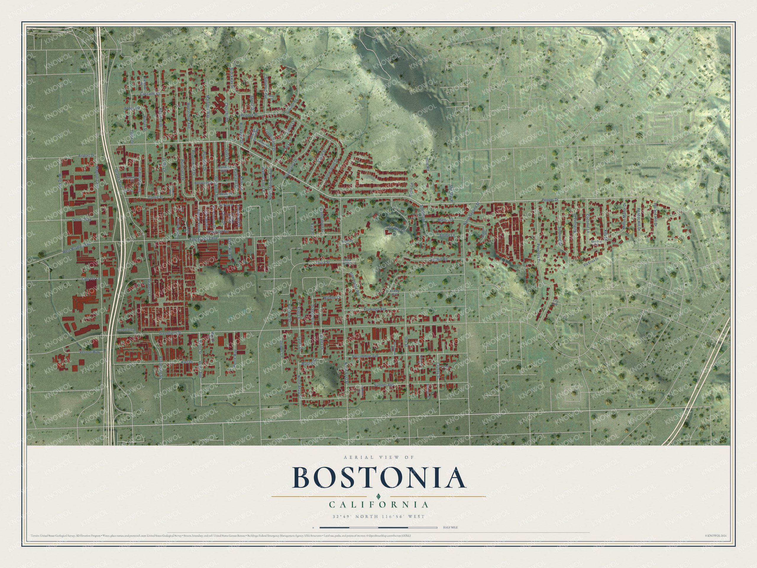
Street names on the Bostonia, California map
These names are printed on the map of Bostonia, California.
Streets and roads: Pepper Drive, Crosby Street, Greenfield Drive, Graves Avenue, North First Street, Magnolia Avenue, East Bradley Avenue, Sumner Avenue, Peerless Drive, Poinciana Drive, Persimmon Avenue, Dawnridge Avenue.
More street names, A to Z
Adobe Lane, Airport Drive, Andes Road, Arboleda Road, Avenue del Sol, Avenue Verde, Ballantyne Street, Bates Lane, Beanie Lane, Bentwood Drive, Bestview Drive, Bevin Lane, Birdsong Place, Braddon Way, Bradley Court, Brockway Street, Buckeye Drive, Cascade Place, Cascade Road, Cerro Drive, Churchill Drive, Cll Cabrillo, Clove Street, Coconut Lane, Cresthill Road, Cypress Lane, Danny Street, Danny Way, Denny Way, Denver Lane, Diamond Lane, Earling Way, El Norte, El Rey Avenue, Encantada Drive, Flag Lane, Flamingo Avenue, Garywood Street, Graves Court, Graves Lane, Greenfield Acc, Greta Hill Court, Greta Street, Hart Drive, Hunt Road, Key Lane, Kyle Place, Lily Avenue, Limon Lane, Linalda Drive, Lindenwood Drive, Lucy Lane, Lyons Lane, Malene Lane, Manda Place, Manor Drive, Marlinda Way, Mascari Court, Milton Manor Drive, Ming Court, North Anza Street, North Mollison Avenue, North Second Street, Oconnell Road, Orange Grove Road, Oro Street, Outer Drive, Parklawn Drive, Pegeen Place, Pepper Hill Drive, Peppervilla Drive, Pepperwood Drive, Persimmon Court, Persimmon Way, Pierre Way, Playa del Sur, Plumeria Drive, Rancheros Drive, Rex Lane, Rockview Drive, Roxanne Drive, Sams Hill Road, Sheila Street, Shir Mar Place, Solomon Avenue, Somerlane Street, Somermont Drive, Stone Edge Circle, Summer Place Drive, Summertime Drive, Sumner Court, Sumner Place, Sunburst Drive, Sun Court, Sundial Terrace, Terrace Hill Drive, Teton Drive, Tina Place, Topper Lane, Tuttle Lane, Vernon Way, Via Elisa Drive, Victor Avenue, Victor Street, Vulcan Street, Walnut Tree Lane, Wenatchee Avenue, West Bradley Avenue, Wing Avenue.
See the Bostonia, California map on a wall
The Bostonia map as an 18 x 24 inch print in a black frame.

This beautifully detailed map of Bostonia makes an attractive addition to your office, library, or den, and it can even be used to teach children the geography and history of the area. It also makes a great gift for anyone with Bostonia roots. When you’re done exploring, click here to get your copy of the Bostonia map.