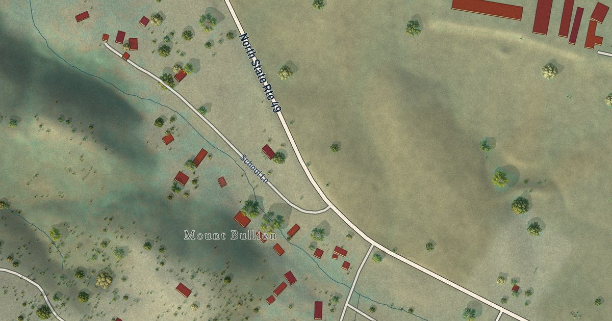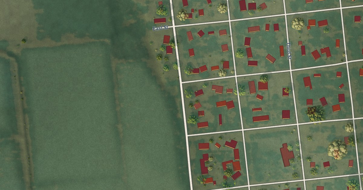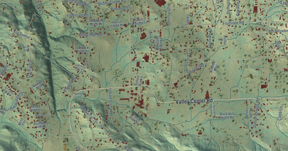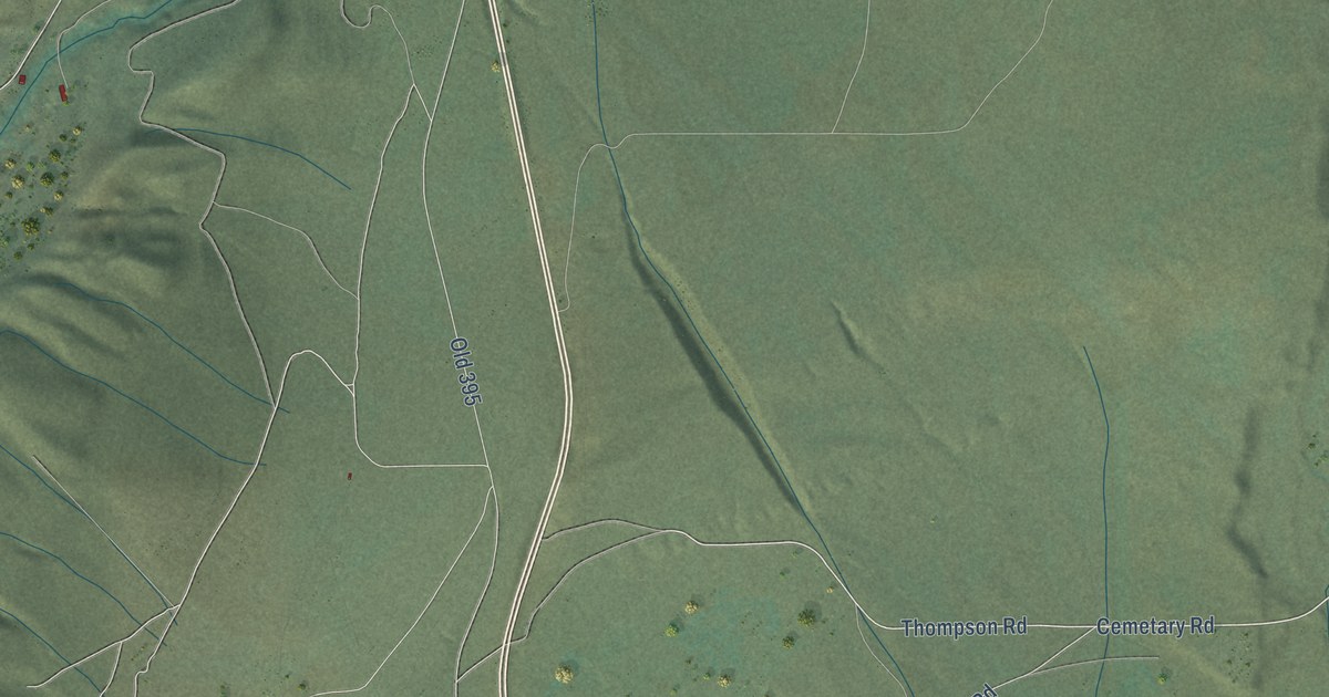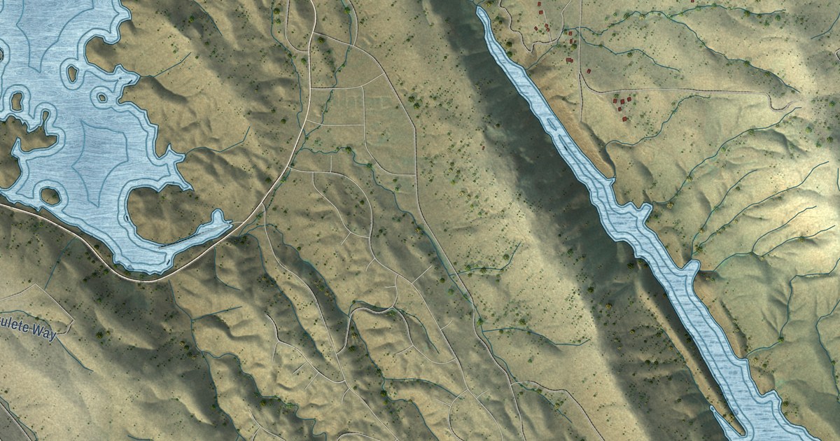
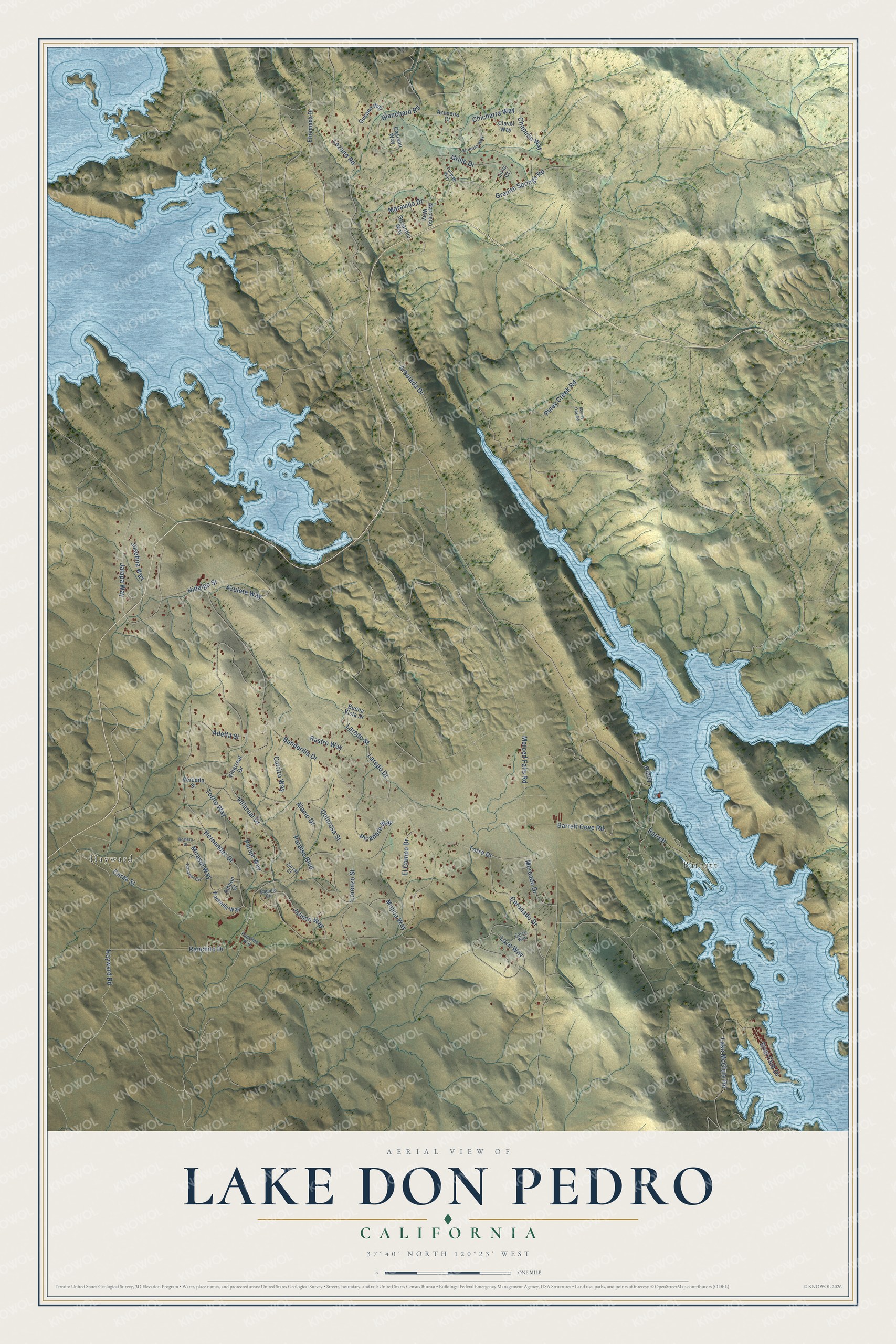
This beautifully detailed map of Lake Don Pedro, California was created in 2026 using aerial imagery combined with modern topographical, census, street and landmark data. It's a modern aerial view of Lake Don Pedro in Mariposa County, California, that combines modern data with a vintage aesthetic. The roads feature printed names, and if you look closely you can find your exact house accurately shown in its correct location.
Explore an aerial view of Lake Don Pedro, California
On this map you'll find Barrett, Hayward, Barrett Cove Road, Jalapa Way, Piney Creek Road, Lozano Road, Azulete Way, Banderilla Drive, Ranchito Drive, Alamo Drive, Merced Falls Road, Hayward Road, and more. Each red shape is a building, so zoom in on the preview and look for yours.
Every town has a first chapter, and Lake Don Pedro is no exception. The name Lake Don Pedro goes back to a Frenchman, Pierre Sainsevain, who was called Don Pedro. A gold rush camp named for him, Don Pedro Bar, became one of the most famous gold mining towns. The 1923 dam that drowned the old mining site was named for the town, and so was the far larger 1971 dam that formed Lake Don Pedro. Anyone who owned a rancho in early California was called Don, and Pierre is Pedro in Spanish. Sainsevain had a rancho near Santa Cruz and later won fame as a winemaker. That's from the Don Pedro Recreation Agency.
Lake Don Pedro is a community in Mariposa County. The Census Bureau counted 1,765 people here in 2020.
Take a closer look at the Lake Don Pedro map
Names on this map
These names are printed on this map.
Places: Barrett and Hayward.
Streets and roads: Barrett Cove Road, Jalapa Way, Piney Creek Road, Lozano Road, Azulete Way, Banderilla Drive, Ranchito Drive, Alamo Drive, Merced Falls Road, Hayward Road, Granite Springs Road, Hernandez Drive.
More street names, A to Z
Adelfa Street, Arbolada Drive, Azucena Court, Blanchard Road, Boat Club Drive, Buena Vista Drive, Capullo Circle, Caracol Circle, Carrizo Way, Carza Street, Castano Way, Chapulin Way, Chicharra Way, Clavel Way, Coronado Drive, Dolorosa Street, El Campo Drive, Enramada Drive, Fachada Way, Grillo Drive, Gusanillo Way, Gusano Way, Hidalgo Street, Jalisco Way, Josefina Way, Lake McClure Road, Laredo Drive, Laredo Street, Lazo Way, Lirio Court, Lorenzo Street, Maravilla Drive, Mercado Drive, Mirasol Way, Mojica Way, Narcisco Way, Panchito Way, Paraiso Boulevard, Paraje Way, Picadero Way, Piney, Rastro Way, Rincon Court, Romero Street, Stoney Oak Road, Torito Way, Torre Drive, Tulipan Way, Veredita Street, Villareal Drive, Villarreal Drive, Violetta Way, Zarzal Court, Zarzo Way.
See it on a wall
The Lake Don Pedro map as a framed print. Swipe for more.


Created by KNOWOL in 2026. The buildings are small red shapes, the roads carry their printed names, and shaded relief shows the shape of the land. The title panel reads "AERIAL VIEW OF LAKE DON PEDRO, CALIFORNIA" with 37°40' NORTH 120°23' WEST.
Hang it in the hallway, the office or the cabin, or give it to someone who left Lake Don Pedro and still calls it home. Open the preview and look for a street you know. See sizes and frames for the Lake Don Pedro map.