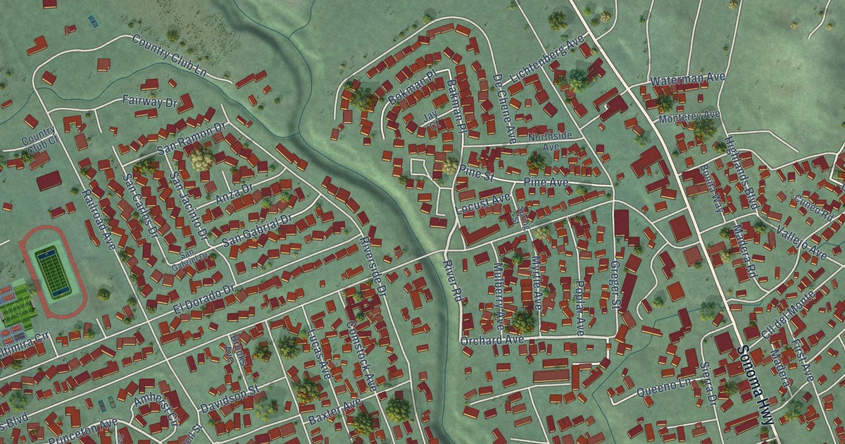
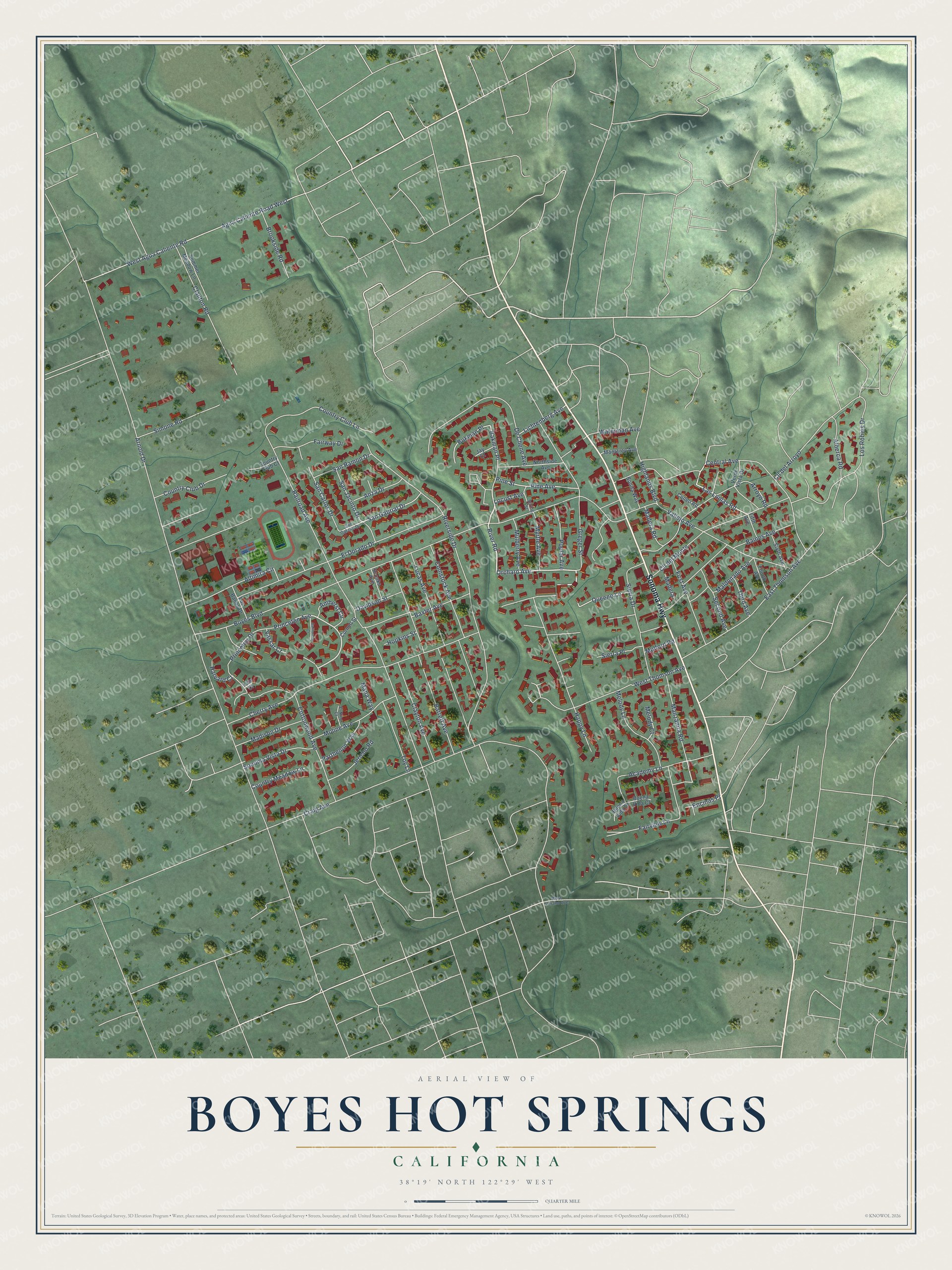
This beautifully detailed map of Boyes Hot Springs, California was created in 2026 using aerial imagery combined with modern topographical, census, street and landmark data. It's a modern aerial view of Boyes Hot Springs in Sonoma County, California, that combines modern data with a vintage aesthetic. The roads feature printed names, and if you look closely you can find your exact house accurately shown in its correct location.
Explore an aerial view of Boyes Hot Springs, California
On this map you'll find Sonoma Highway, Pine Avenue, Orchard Avenue, River Road, Happy Lane, West Thomson Avenue, Princeton Drive, Princeton Avenue, Manzanita Road, Las Lomas Road, Arnold Drive, Riverside Drive, and more. Each red shape is a building, so zoom in on the preview and look for yours.
Boyes Hot Springs is a community in Sonoma County. The Census Bureau counted 6,215 people here in 2020. The map prints the town name in its title panel, with the coordinates below it.
Take a closer look at the Boyes Hot Springs map
Names on this map
These names are printed on this map.
Streets and roads: Sonoma Highway, Pine Avenue, Orchard Avenue, River Road, Happy Lane, West Thomson Avenue, Princeton Drive, Princeton Avenue, Manzanita Road, Las Lomas Road, Arnold Drive, Riverside Drive.
More street names, A to Z
Academy Lane, Agua Caliente Road West, Alberca Road, Altimira Circle, Amherst Circle, Anza Drive, Arroyo Road, Baines Avenue, Bakman Place, Barrett Avenue, Baxter Avenue, Bokman Place, Bonita Way, Boyes Boulevard, Brooks Avenue, Brookside Road, Buena Vida Court, Buena Vida Drive, California Court, Central Avenue, Cherry Avenue, Clanton Road, Clayton Avenue, Cll del Arroyo, Cll del Monte, Comstock Avenue, Cornell Street, Cottonwood Avenue, Country Club Court, Country Club Drive, Country Club Lane, Country Meadow Lane, Craig Avenue, Cuneo Road, Davidson Street, De Chene Avenue, East Thomson Avenue, El Dorado Drive, El Nino Court, Encinas Place, Fairview Lane, Fairway Drive, Fifth Avenue, First Avenue, Fourth Avenue, Greger Street, Harvard Court, Highlands Boulevard, Hopkins Street, Jay Court, Jericho Road, Lichtenberg Avenue, Locust Avenue, Los Banos Drive, Los Robles Drive, Lucas Avenue, Madera, Madera Road, Madison Drive, Maldonado Avenue, Mana Way, Melody Court, Melody Lane, Moline Avenue, Monterey Avenue, Mulberry Avenue, Mulford Road, Myrtle Avenue, Northside Avenue, Parthenon Way, Pine Street, Poplar Avenue, Queeno Lane, Railroad Avenue, San Carlos Drive, San Gabrial Drive, San Gabriel Drive, San Jacinto Drive, San Ramon Drive, Second Avenue, Sierra Drive, Sierra Place, Simone Road, Sixth Avenue, Sonoma Vista Drive, Spring Street, Summer Meadow Lane, Third Avenue, Toy Lane, Vallejo Avenue, Vassar Court, Verde Vista Drive, Waterman Avenue, West Agua Caliente Road, West Verano Avenue, Yale Court.
Created by KNOWOL in 2026. The buildings are small red shapes, the roads carry their printed names, and shaded relief shows the shape of the land. The title panel reads "AERIAL VIEW OF BOYES HOT SPRINGS CALIFORNIA" with 38°19' NORTH 122°29' WEST.
Hang it in the hallway, the office or the cabin, or give it to someone who left Boyes Hot Springs and still calls it home. Open the preview and look for a street you know. See sizes and frames for the Boyes Hot Springs map.