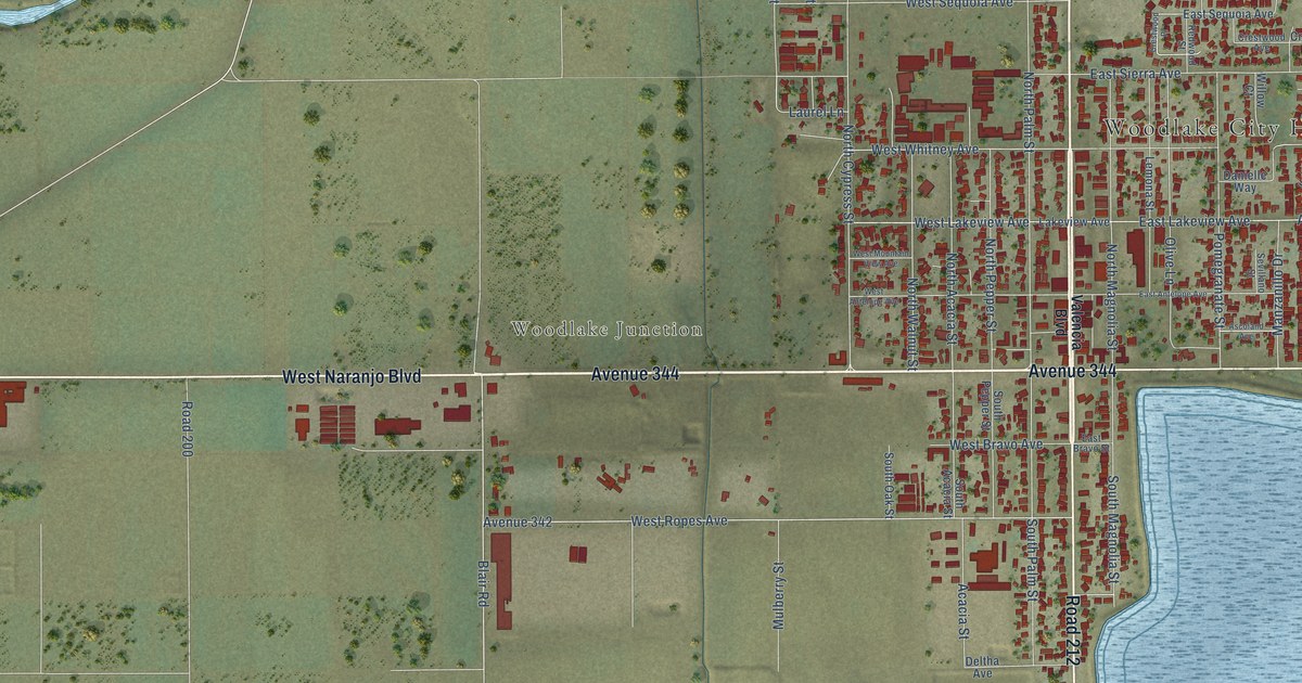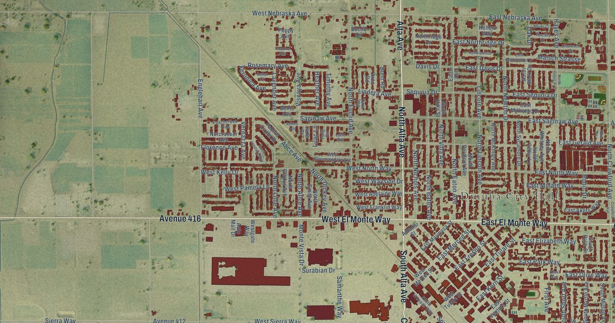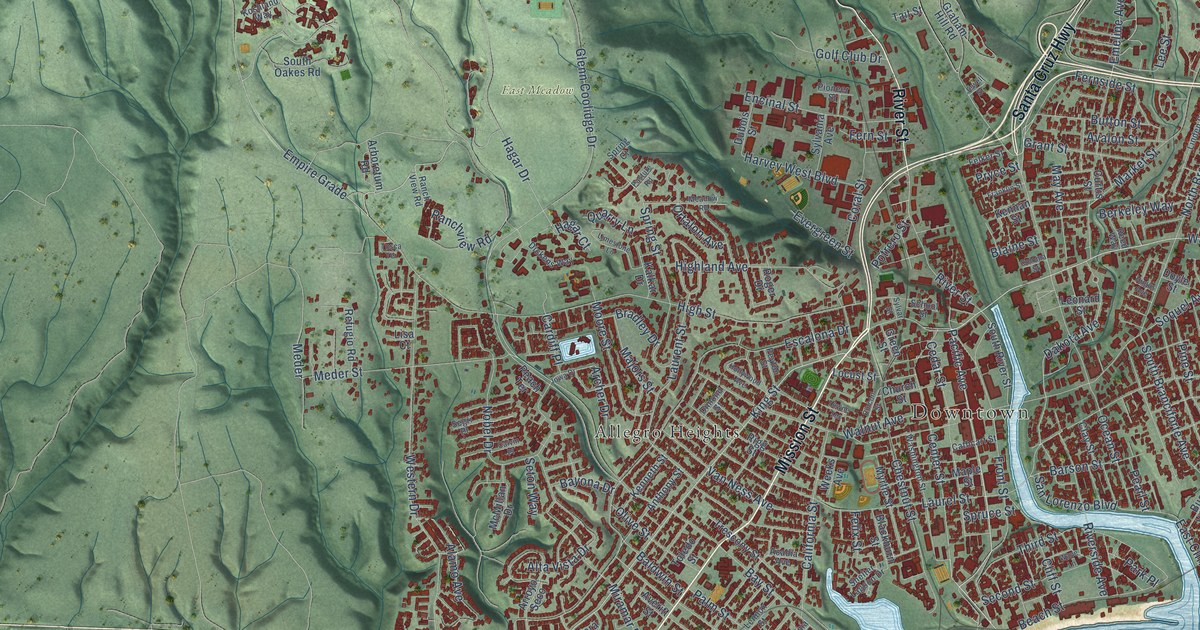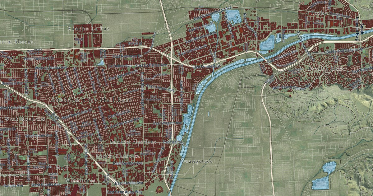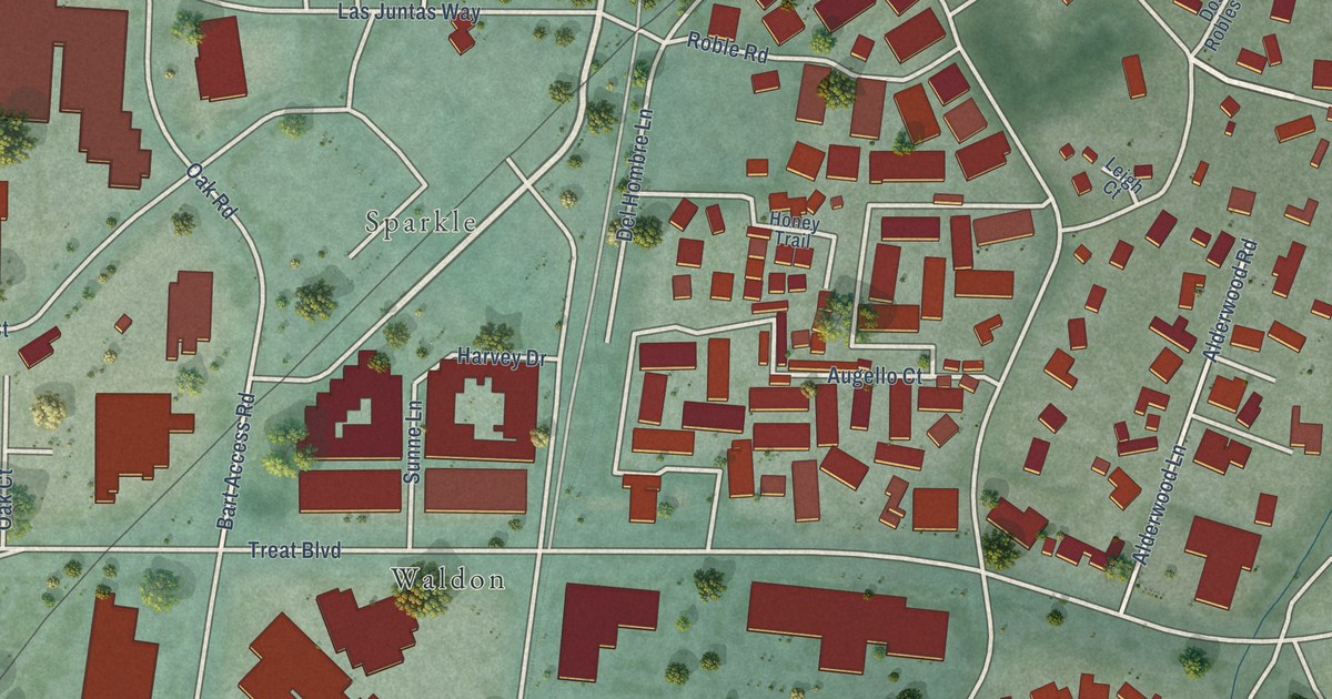
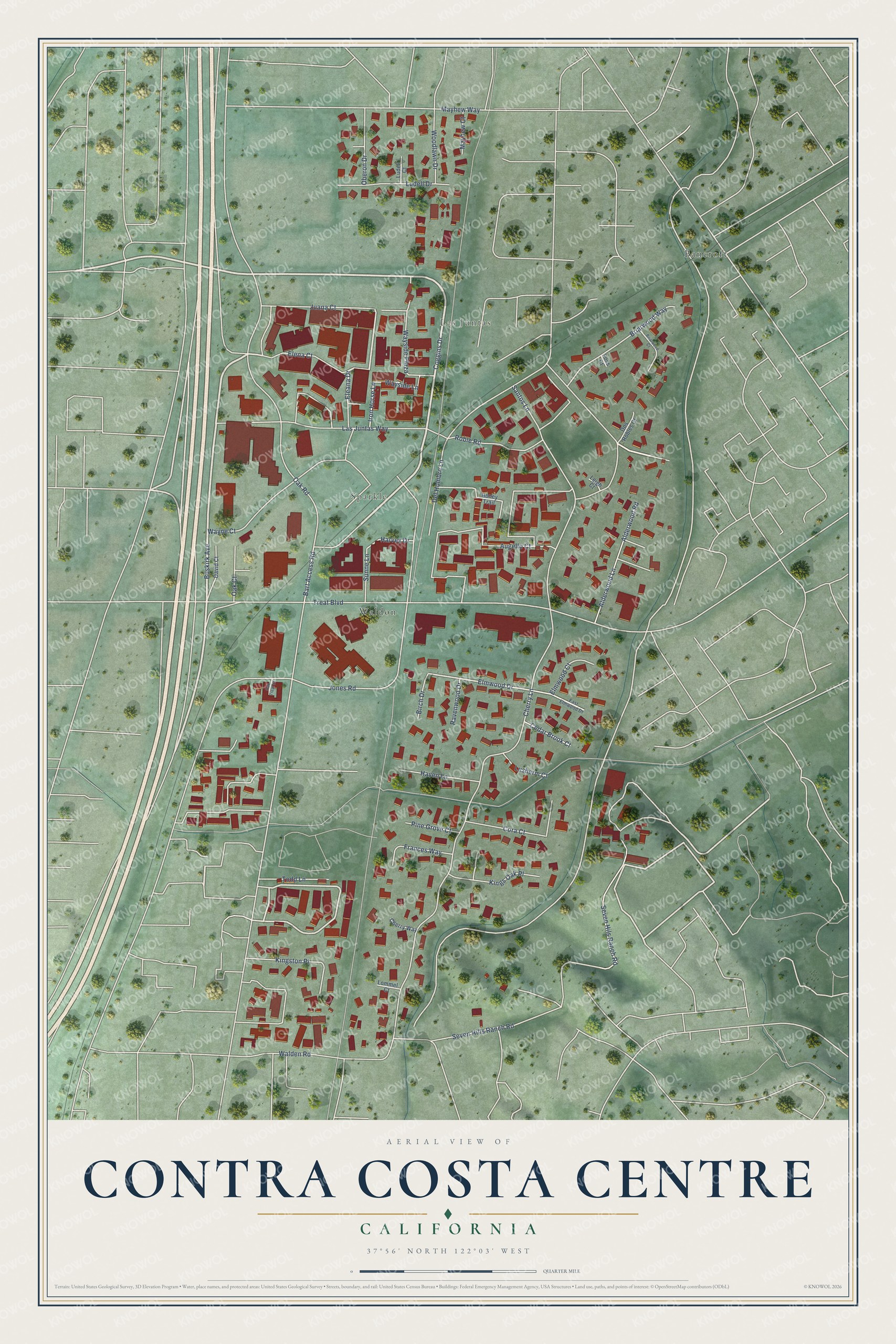
This beautifully detailed map of Contra Costa Centre, California was created in 2026 using aerial imagery combined with modern topographical, census, street and landmark data. It's a modern aerial view of Contra Costa Centre in Contra Costa County, California, that combines modern data with a vintage aesthetic. The roads feature printed names, and if you look closely you can find your exact house accurately shown in its correct location.
Explore an aerial view of Contra Costa Centre, California
On this map you'll find Las Juntas, Sparkle, Bancroft, Waldon, Buskirk Avenue, Coggins Drive, Alderwood Lane, Alderwood Road, Eleana Drive, Elmwood Drive, Cherry Lane, Oak Road, and more. Each red shape is a building, so zoom in on the preview and look for yours.
Contra Costa Centre is a community in Contra Costa County. The Census Bureau counted 6,808 people here in 2020. The map prints the town name in its title panel, with the coordinates below it.
Take a closer look at the Contra Costa Centre map
Names on this map
These names are printed on this map.
Places: Las Juntas, Sparkle, Bancroft and Waldon.
Streets and roads: Buskirk Avenue, Coggins Drive, Alderwood Lane, Alderwood Road, Eleana Drive, Elmwood Drive, Cherry Lane, Oak Road, Jones Road, Treat Boulevard, Las Juntas Way, Seven Hills Ranch Road.
More street names, A to Z
Augello Court, Bart Access Road, Birch Drive, Briarwood Court, Briarwood Way, Cedar Brook Court, Cherry Way, Cora Court, David Court, Del Hombre Lane, Dos Robles Court, East Elmwood Drive, Elena Court, Elmwood Court, Foss Court, Frances Way, Harvey Drive, Haven Lane, Honey Trail, Iron Horse Lane, Juana Court, Kings Oak Place, Kingston Place, Leigh Court, Lommel Court, Ludell Court, Ludell Drive, Lusherm Court, Mayhew Court, Mayhew Way, Oak Court, Oak Treat Court, Oberon Drive, Pine Grove Court, Ravenwood Drive, Roble Road, Santos Lane, Seven Hils Ranch Road, Sunne Lane, Todd Lane, Walden Road, Wayne Court, Wayside Lane, Wayside Plaza, Woodlawn Drive.
Created by KNOWOL in 2026. The buildings are small red shapes, the roads carry their printed names, and shaded relief shows the shape of the land. The title panel reads "AERIAL VIEW OF CONTRA COSTA CENTRE CALIFORNIA" with 37°56' NORTH 122°03' WEST.
Hang it in the hallway, the office or the cabin, or give it to someone who left Contra Costa Centre and still calls it home. Open the preview and look for a street you know. See sizes and frames for the Contra Costa Centre map.