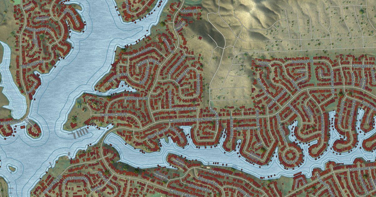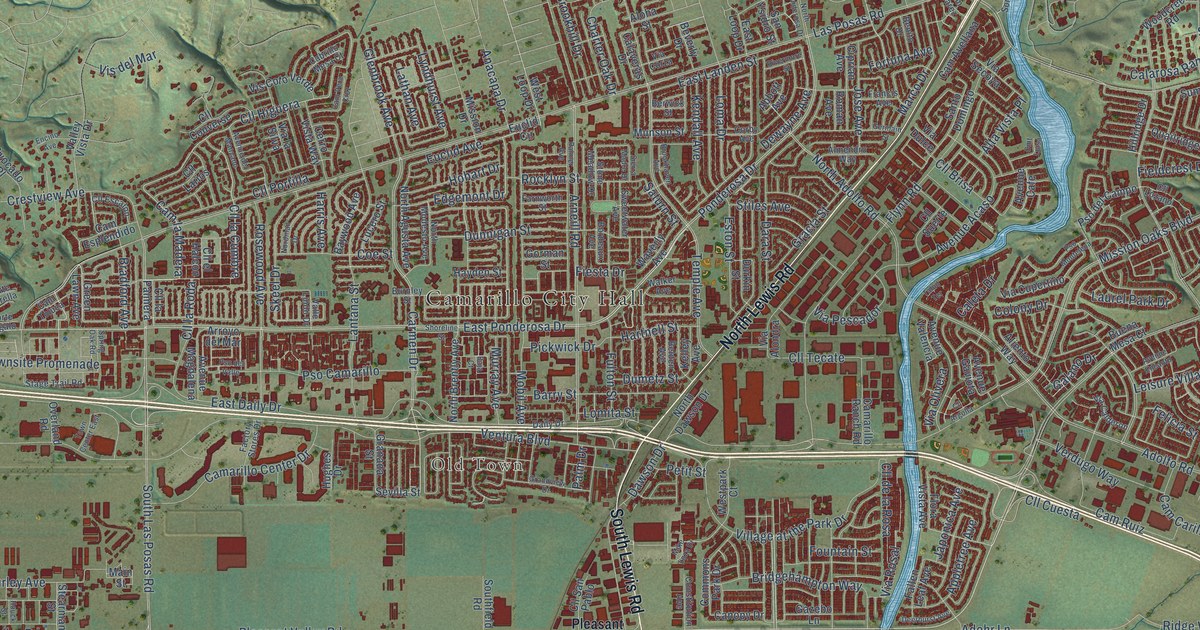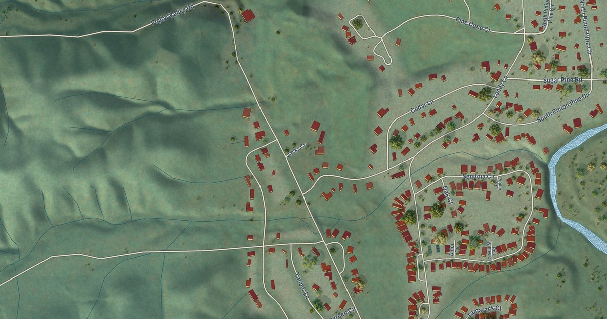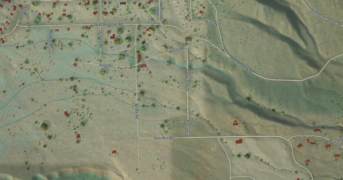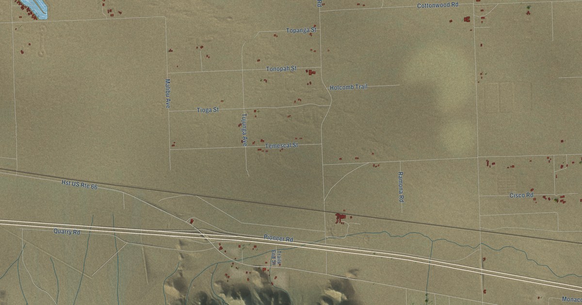
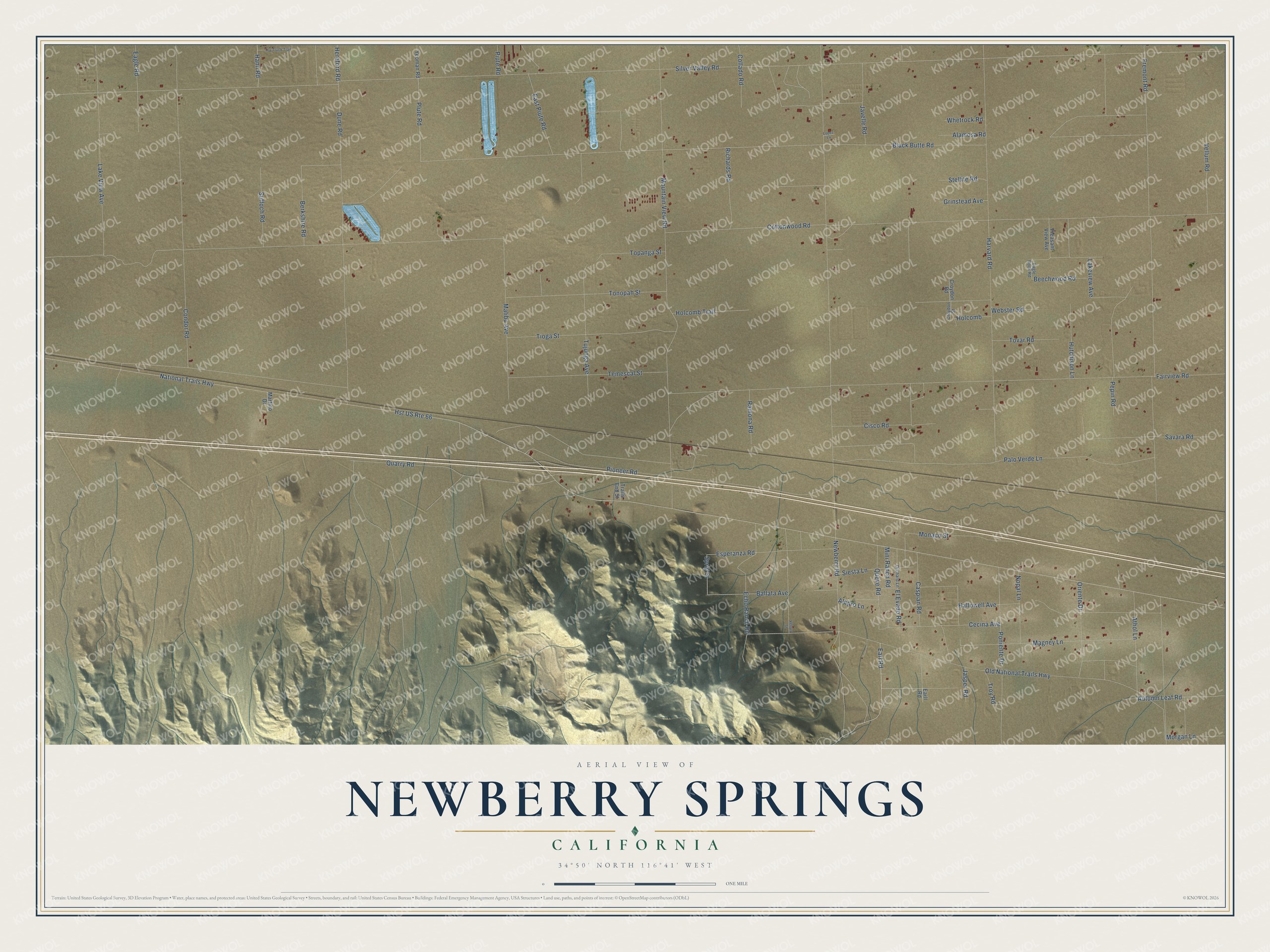
This beautifully detailed map of Newberry Springs, California was created in 2026 using aerial imagery combined with modern topographical, census, street and landmark data. It’s a one-of-a-kind view of Newberry Springs that combines accurate data with a vintage aesthetic. The map shows every building in its true location, many of the roads carry their names, and the shaded topographic relief shows the shape of the land.
Explore an aerial view of Newberry Springs, California
On the map you’ll find Newberry Road, Earl Road, Jasper Road, Magney Lane, Autumn Leaf Road, Hallowell Avenue, Plute Road, Troy Road, Hereford Road, Sprig Street, National Trails Highway, Silver Valley Road, and more. If you look closely you can even find your house accurately drawn in its correct location. Zoom in on the preview to look for yours.
Take a closer look at the Newberry Springs map
Names on this map
These names are printed on this map.
Streets and roads: Newberry Road, Earl Road, Jasper Road, Magney Lane, Autumn Leaf Road, Hallowell Avenue, Plute Road, Troy Road, Hereford Road, Sprig Street, Hst US Route 66, National Trails Highway.
More street names, A to Z
Alamosa Road, Alepro Lane, Athol Lane, Ballata Avenue, Beechwood Road, Berkshire Road, Black Butte Road, Caspian Road, Cecina Avenue, Cisco Road, Collado Road, Condor Road, Cottonwood Road, Croydon Road, Croydon Street, Dune Road, Eagle Road, Eagle Rock Road, Earll Road, East Piute Road, Echo Ranch Road, El Evado Road, Esperanza Road, Fairview Road, Fremont Road, Grinstead Avenue, Hann Road, Harvard Road, Holcomb, Holcomb Trail, Hutchison Lane, Javelle Road, Lake View Avenue, Lakeview Avenue, Lopez Lane, Malibu Avenue, Martino Drive, Mini Ranch Road, Monaco Street, Morgan Lane, Mountain View Road, Nopal Lane, Old National Trails Highway, Orchard Lane, Oriente Drive, Palo Verde Lane, Pepin Road, Pioneer Road, Piute Road, Pleasant View Avenue, Poniente Drive, Quarry Road, Queve Road, Ramona Road, Richards Road, Savara Road, Siesta Lane, Silver Valley Road, Stellite Road, Suffoch Road, Temescal Street, Tioga Street, Tonopah Street, Topanga Street, Tovar Road, Toy Truck Trail, Trails End Street, Tujunga Avenue, Vellum Road, Velour Street, Webster Road, Whetrock Road, Yeoman Road.
See it on a wall
The Newberry Springs map as a framed print. Swipe for more.


This beautifully detailed map of Newberry Springs makes an attractive addition to your office, library, or den, and it can even be used to teach children the geography and history of the area. It also makes a great gift for someone who left Newberry Springs and still calls it home. When you’re done exploring, click here to get your copy of the Newberry Springs map.