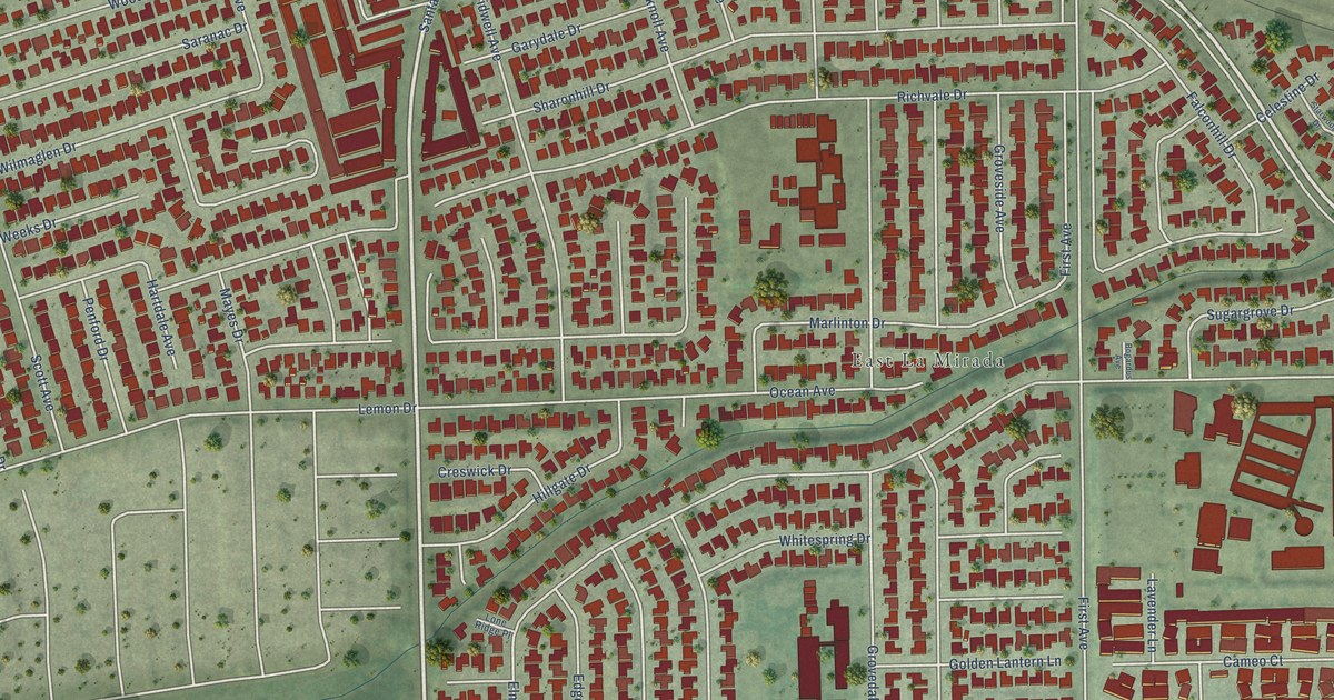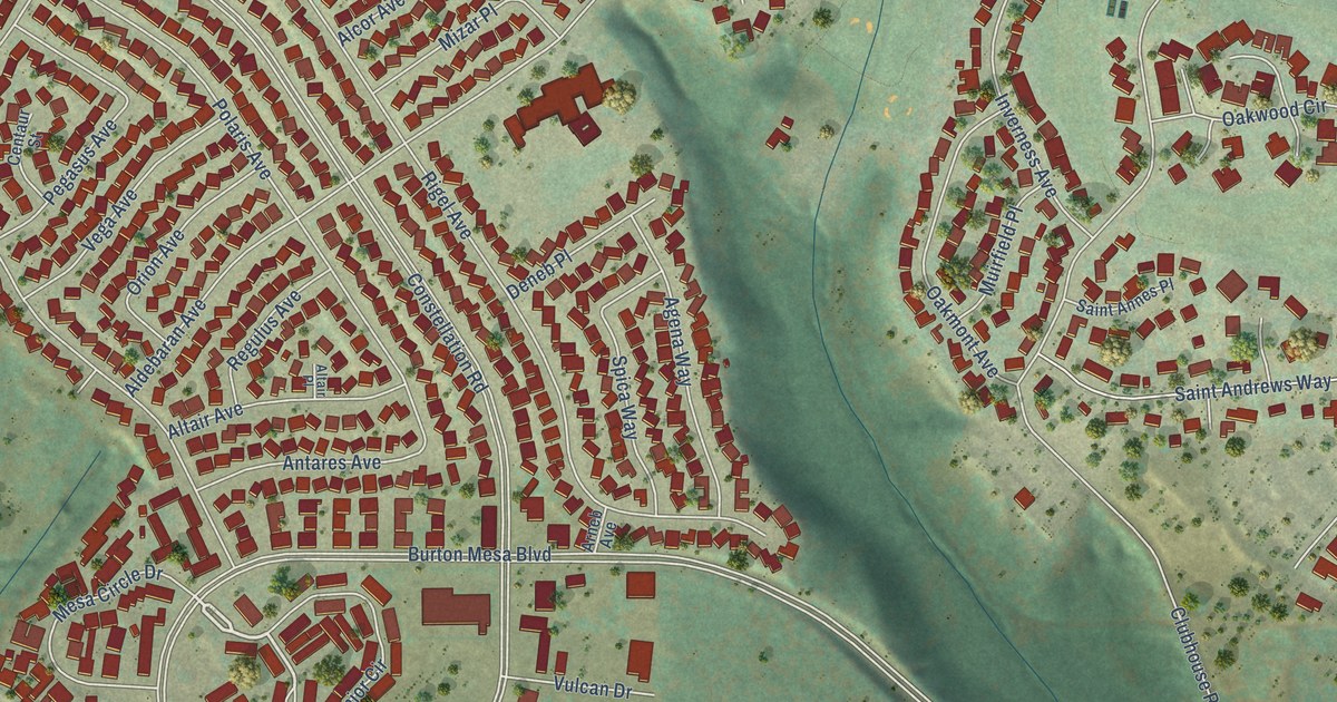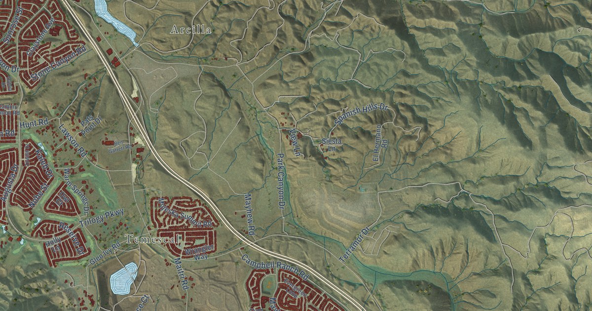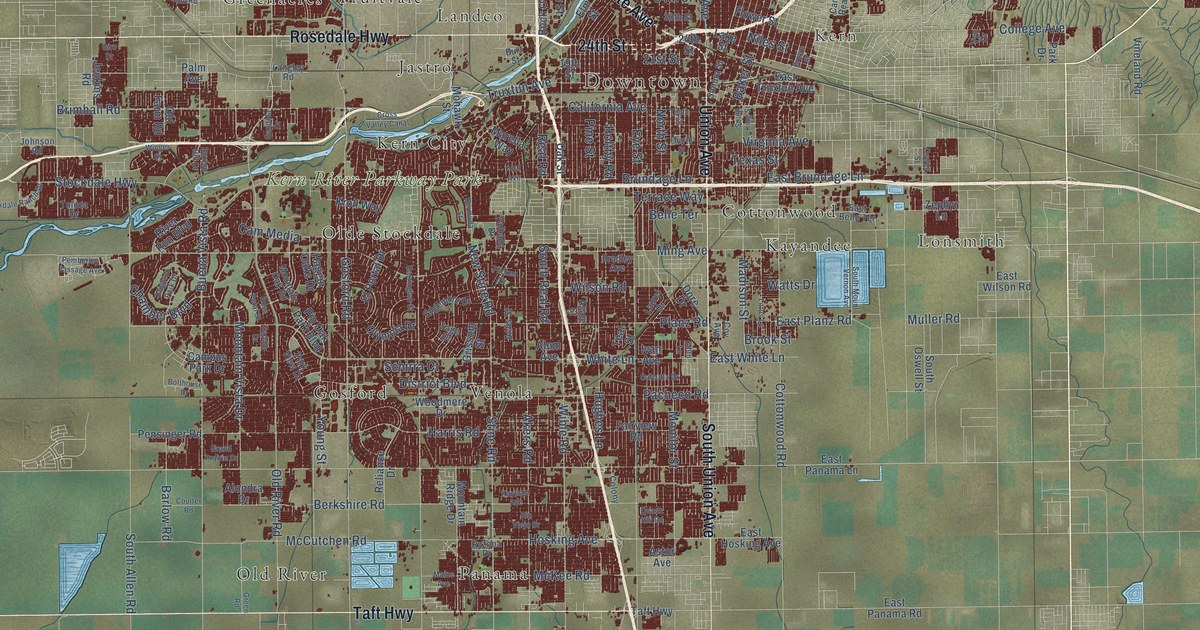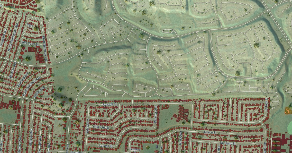
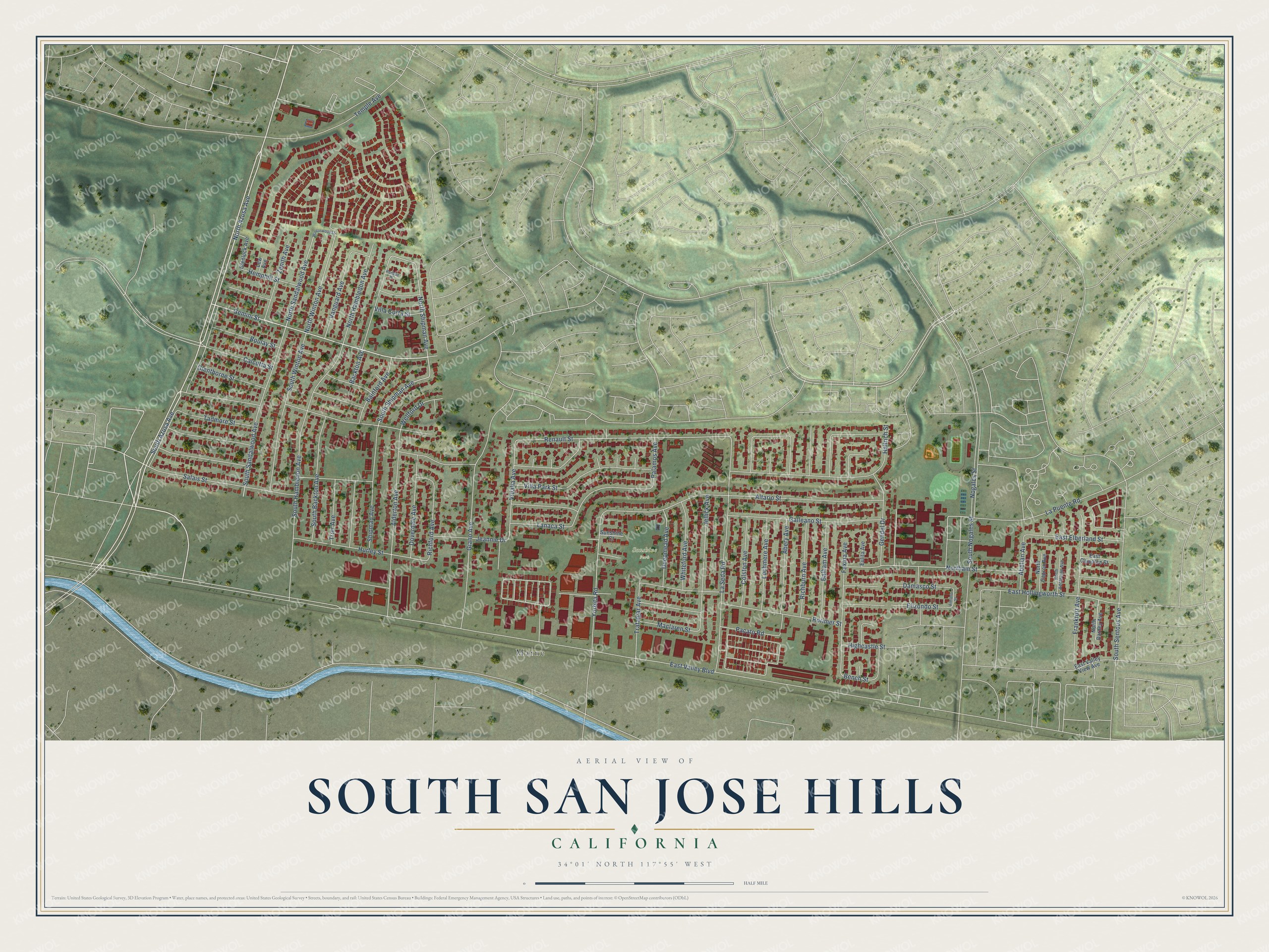
This beautifully detailed map of South San Jose Hills, California was created in 2026 using aerial imagery combined with modern topographical, census, street and landmark data. It's a modern aerial view of South San Jose Hills in Los Angeles County, California, that combines modern data with a vintage aesthetic. The roads feature printed names, and if you look closely you can find your exact house accurately shown in its correct location.
Explore an aerial view of South San Jose Hills, California
On this map you'll find Sunshine Park, Marne, South Azusa Avenue, North Azusa Avenue, Gemini Street, North Shipman Avenue, South Shipman Avenue, North Sandalwood Avenue, Yorbita Road, Renault Street, South Sandalwood Avenue, North Winton Avenue, and more. Each red shape is a building, so zoom in on the preview and look for yours.
South San Jose Hills is a community in Los Angeles County. The Census Bureau counted 19,855 people here in 2020. The map prints the town name in its title panel, with the coordinates below it.
Take a closer look at the South San Jose Hills map
Names on this map
These names are printed on this map.
Places: Sunshine Park and Marne.
Streets and roads: South Azusa Avenue, North Azusa Avenue, Gemini Street, North Shipman Avenue, South Shipman Avenue, North Sandalwood Avenue, Yorbita Road, Renault Street, South Sandalwood Avenue, North Winton Avenue, Vidalia Avenue, East Valley Boulevard.
More street names, A to Z
Abelian Avenue, Abery Avenue, Alderton Avenue, Almanor Street, Altario Street, Backton Avenue, Bainford Avenue, Balham Avenue, Bench Street, Boulay Street, Calcutta Street, Colston Avenue, Damasco Street, Deepmead Avenue, Doverdale Avenue, East Campton Street, East Elberland Street, East Hollingworth Street, East Valley View Avenue, Elizondo Street, Eulita Avenue, Faxina Avenue, Frankfurt Avenue, Galleano Street, Gendel Drive, Giano Avenue, Glenlock Avenue, Glenthorne Street, Hallrich Street, Hemphill Street, Highcastle Street, Hurley Street, Jeannie Drive, Jellick Avenue, Lanaca Street, La Puente Road, La Seda Road, Lew Avenue, Lochmere Avenue, Maclaren Street, Nogales Street, North Addleman Avenue, Northam Street, North Capron Avenue, North Darney Avenue, North Hambledon Avenue, Pacato Road, Palamos Avenue, Redbud Place, Richburn Avenue, Richford Avenue, Rorimer Street, Salais Street, Shipman Avenue, South Backton Avenue, South Hambledon Avenue, South Nogales Street, South Sentous Avenue, South Winton Avenue, Sunshine Court, Tadmore Street, Temple Avenue, Trafalgar Avenue, Trier Avenue, Vanguard Avenue, Villa Corta Street, Villa Park Street, Wellford Drive, Whiteford Avenue, Wintonwood Lane, Zenith Avenue.
Created by KNOWOL in 2026. The buildings are small red shapes, the roads carry their printed names, and shaded relief shows the shape of the land. The title panel reads "AERIAL VIEW OF SOUTH SAN JOSE HILLS CALIFORNIA" with 34°01' NORTH 117°55' WEST.
It suits a den, a classroom or a front hall, and it makes a gift for anyone with South San Jose Hills roots. Open the preview and find the block you know. See sizes and frames for the South San Jose Hills map.