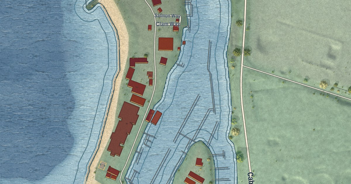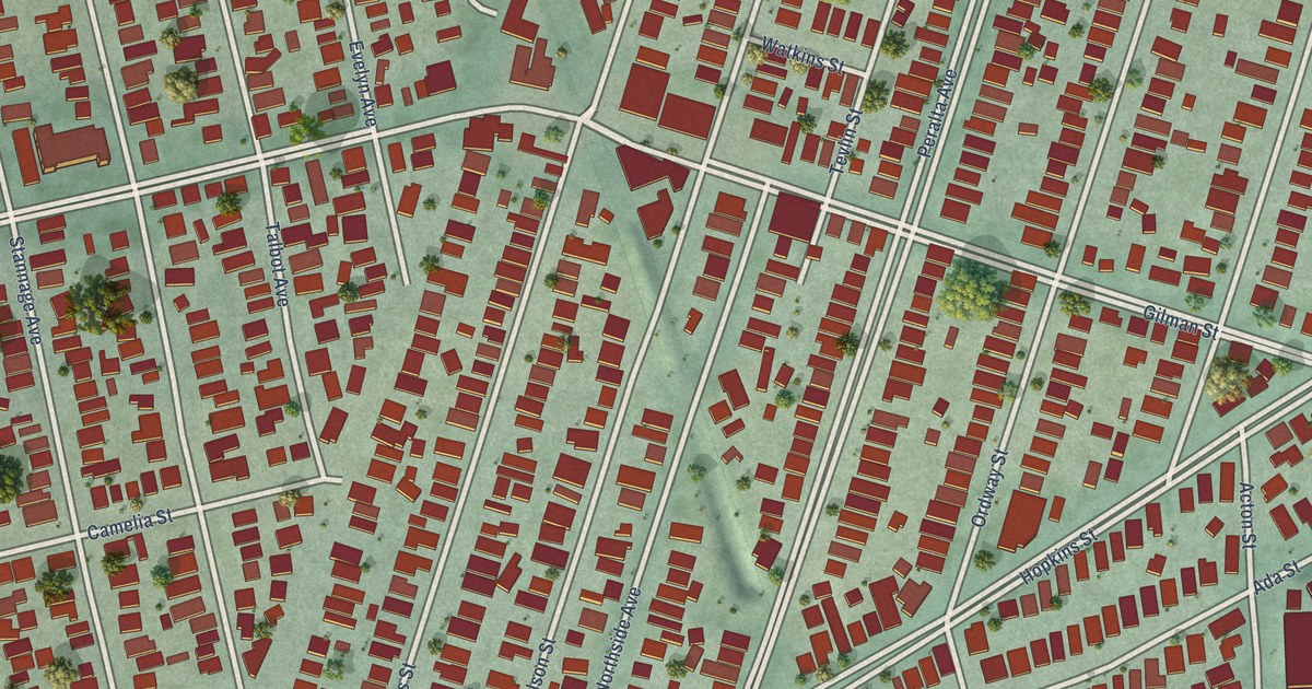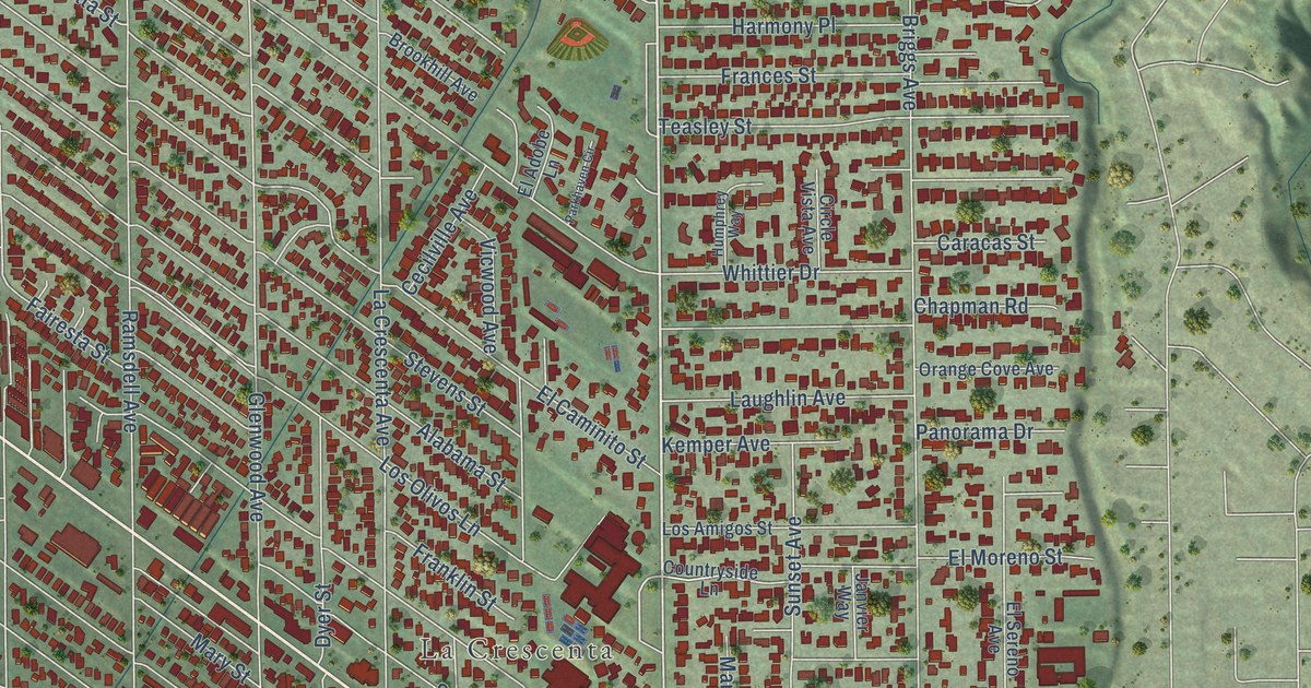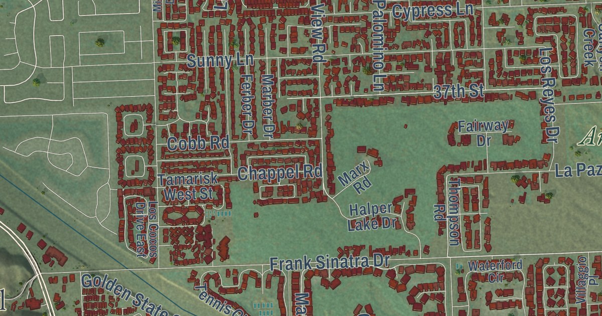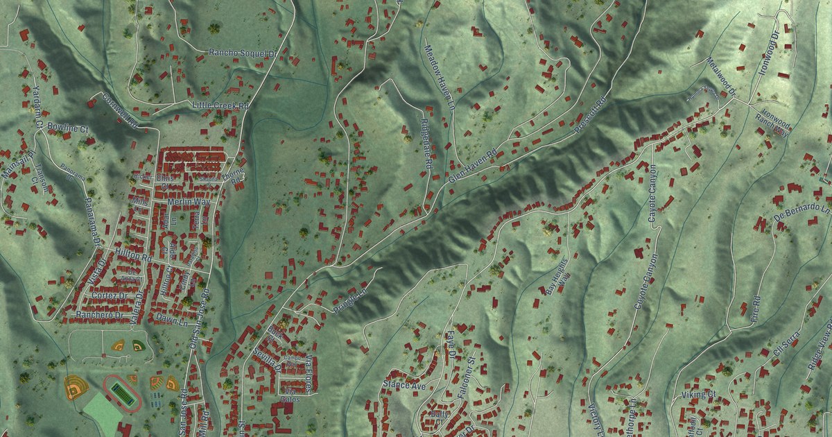
This beautifully detailed map of Soquel, California was created in 2026 using aerial imagery combined with modern topographical, census, street and landmark data. It’s a one-of-a-kind view of Soquel that combines accurate data with a vintage aesthetic. The map shows every building in its true location, many of the roads carry their names, and the shaded topographic relief shows the shape of the land.
Explore an aerial view of Soquel, California
On the map you’ll find Ironwood Drive, Yardarm Court, Fairway Drive, Cunnison Lane, Orchard Street, Porter Street, Soquel Drive, North Rodeo Gulch Road, Porter Gulch Road, Old San Jose Road, Soquel San Jose Road, Glen Haven Road, and more. If you look closely you can even find your house accurately drawn in its correct location. Zoom in on the preview to look for yours.
Did you know this piece of Soquel, California history?
From the Santa Cruz County History: "John Daubenbis arrived in California in 1843 in company with John Hames; they built a flour mill and a saw mill on Soquel creek."
Take a closer look at the Soquel map
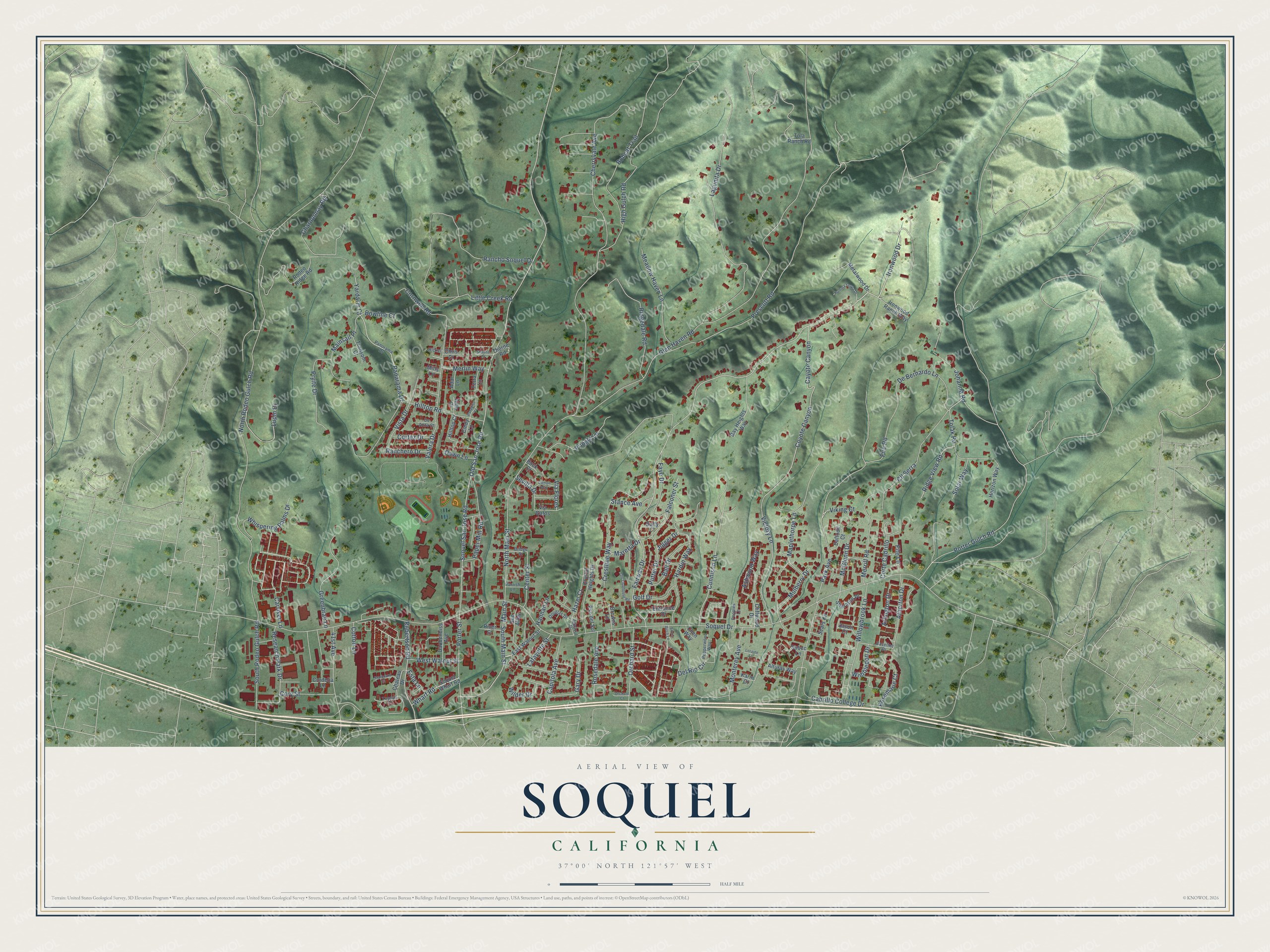
Street names on the Soquel, California map
These names are printed on the map of Soquel, California.
Streets and roads: Ironwood Drive, Yardarm Court, Fairway Drive, Cunnison Lane, Orchard Street, Porter Street, Soquel Drive, North Rodeo Gulch Road, Porter Gulch Road, Old San Jose Road, Soquel San Jose Road, Glen Haven Road.
More street names, A to Z
41st Avenue, Adar Lane, Aguazul Drive, Aldo Court, Alturas Way, Arlington Drive, Ashwood Way, Atherton Drive, Baffy Court, Ball Drive, Baseline Drive, Bay Heights Way, Bobcat Trail, Bowline Court, Bridge Street, Browns Lane, Buck Court, Cabrillo College Drive, Campo Way, Capitola Avenue, Carriker Lane, Cayote Canyon, Center Street, Chardonnay Road, Chateau Drive, Chen Way, Cherryvale Avenue, Chris Court, Cindy Lane, Cliffwood Drive, Cll Serra, Cordelia Lane, Cornwell Road, Corte Cabrillo, Cortez Drive, Cory Street, Cotton Lane, Coyote Canyon, Crestline Way, Crystal Heights Drive, Daffodil Court, Daubenbiss Avenue, Dawn Lane, De Anza Court, De Bernardo Lane, Del Rio Circle, Douglas Drive, East Walnut Street, Entrance Drive, Esta Lane, Falconer Street, Faye Drive, Fife Lane, Fire Road, Gary Drive, Golf Drive, Greenbrae Lane, Hannan Lane, Hardin Way, Hazel Court, Hicker, High Gulch Road, Hilltop Court, Hilltop Road, Horizon Way, Humma Yeppa Drive, Ironwood Ranch Way, Jason Court, Jigger Drive, Johanna Road, Karin Court, Lafayette Street, Lagunita Drive, Little Creek Road, Loraine Lane, Lupin Drive, Mainsail Place, Main Street, Maplethorpe Lane, Maretta Drive, McGlenn Drive, Meadow Haven Lane, Merlin Way, Merrill Road, Metalwood Drive, Mills Lane, Monterey Avenue, Mulberry Drive, North Main Street, Old Clubhouse Road, Orchard Court, Panarama Drive, Panorama Drive, Paper Mill Road, Paradiso Court, Park Avenue, Parrish Lane, Peoples Lane, Pepperwood Way, Prescott Road, Pringle Lane, Pryite Drive, Pso del Sol, Putter Drive, Ranchero Drive, Rancho Soquel Drive, Research Park Drive, Ridgedale Road, Ridge View Road, River Street, Robertson Road, Rodeo Ridge Road, Rosedale Avenue, Rosemarie Court, Sears Circle, Sevilla Drive, Shauna Court, Sheraton Place, Silver Birch Lane, Solar Way, Soquel Wharf Road, South Main Street, South Rodeo Gulch Road, Stance Avenue, Starboard Court, Subec Lane, Sun Alley, Terra Lane, Thorne Road, Tolak Road, Tola Ranch Road, Topsail Court, Transom Court, Valera Drive, Via Flores, Via Gatos, Victory Lane, Viking Court, Vista Drive, West Walnut Street, Wharf Road, Whispering Palms Drive, Wilder Drive, Willowbrook Lane, Wimbledon Drive.
See the Soquel, California map on a wall
The Soquel map as an 18 x 24 inch print in a black frame.

This beautifully detailed map of Soquel makes an attractive addition to your office, library, or den, and it can even be used to teach children the geography and history of the area. It also makes a great gift for anyone who grew up in Soquel or moved away. When you’re done exploring, click here to get your copy of the Soquel map.