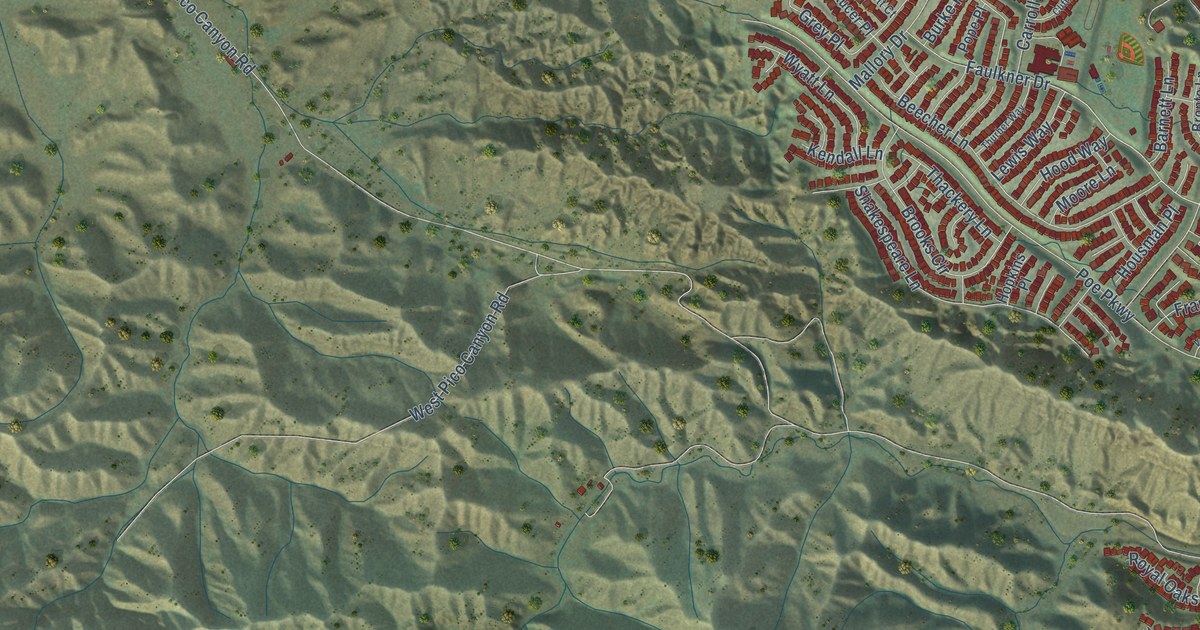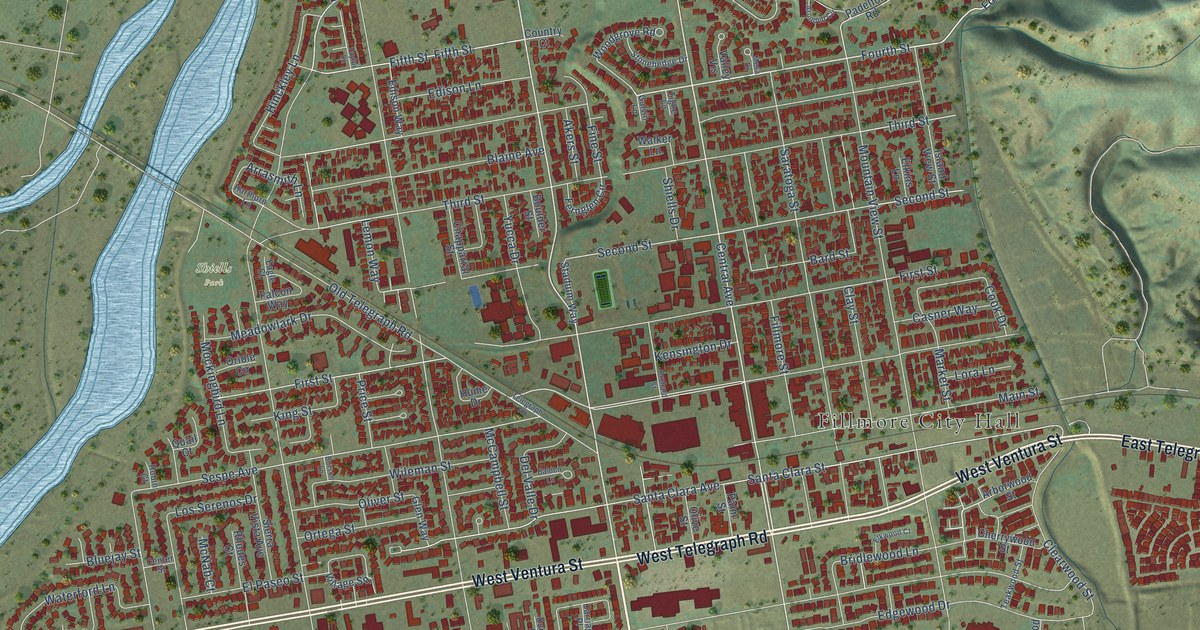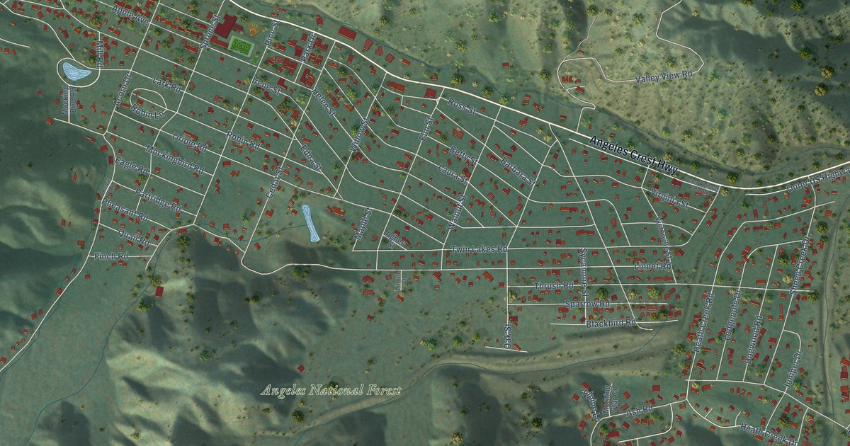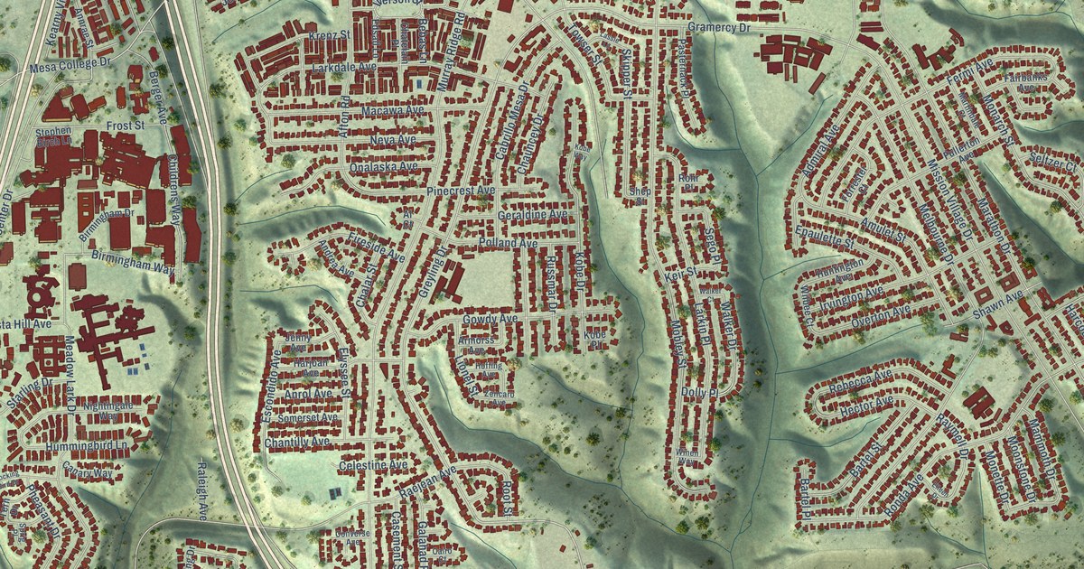
This beautifully detailed map of Serra Mesa, California was created in 2026 using aerial imagery combined with modern topographical, census, street and landmark data. It’s a one-of-a-kind view of Serra Mesa that combines accurate data with a vintage aesthetic. The map shows every building in its true location, many of the roads carry their names, and the shaded topographic relief shows the shape of the land.
Explore an aerial view of Serra Mesa, California
On the map you’ll find Mesa College Drive, Greyling Drive, Encino Avenue, Gramercy Drive, Iverson Street, Hector Avenue, Childrens Way, Birmingham Way, Raymell Drive, Murray Ridge Road, Marathon Drive, Mission Village Drive, and more. If you look closely you can even find your house accurately drawn in its correct location. Zoom in on the preview to look for yours.
Did you know this piece of Serra Mesa, California history?
From Explore Clairemont: "In 1961, Serra Mesa was officially named after the Cabrillo Mission Community Council held a naming contest."
Serra Mesa is a place in San Diego County.
Take a closer look at the Serra Mesa map
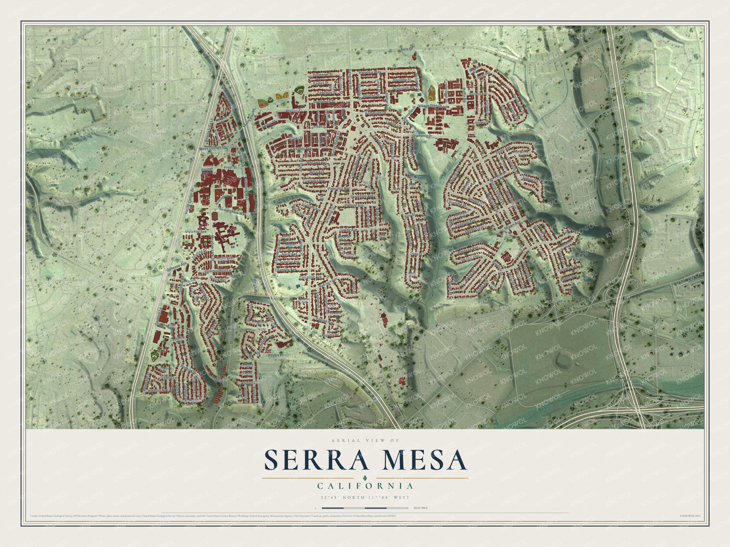
Street names on the Serra Mesa, California map
These names are printed on the map of Serra Mesa, California.
Streets and roads: Mesa College Drive, Greyling Drive, Encino Avenue, Gramercy Drive, Iverson Street, Hector Avenue, Childrens Way, Birmingham Way, Raymell Drive, Murray Ridge Road, Marathon Drive, Mission Village Drive.
More street names, A to Z
Abbotshill Road, Admiral Avenue, Aero Drive, Afton Road, Ainsley Court, Ainsley Road, Al Court, Altridge Street, Amulet Street, Andrea Avenue, Angwin Drive, Angwin Place, Annrae Street, Anrol Avenue, Armorss Avenue, Bartel Place, Bartel Street, Bebas Lane, Berger Avenue, Birmingham Drive, Blue Jay Drive, Bobolink Way, Cabrillo Mesa Drive, Cairo Court, Canary Way, Cardinal Drive, Cardinal Lane, Cardinal Road, Casement Street, Castle Glen Drive, Celestine Avenue, Chalar Street, Chantilly Avenue, Chatelain Place, Chauncey Drive, Converse Avenue, Dahlgren Lane, Dalewood Avenue, Dolly Place, Donzee Street, Dorchester Drive, Drayton Lane, Dubonnet Street, Eames Street, Ediwhar Avenue, Edsall Lane, Eileen Drive, Elyssee Street, Epaulette Street, Escondido Avenue, Fairbanks Avenue, Fensmuir Street, Fermi Avenue, Finch Lane, Fireside Avenue, Forrester Court, Frost Street, Fullerton Avenue, Galahad Road, Genesee Avenue, Geraldine Avenue, Glencolum Drive, Glenhaven Street, Gowdy Avenue, Greenwing Drive, Gridley Place, Guild Avenue, Halsted Street, Hammond Drive, Harcourt Drive, Harjoan Avenue, Harton Road, Haveteur Way, Health Center Drive, Heraldry Street, Hoffing Avenue, Hornbill Avenue, Hummingbird Lane, Huntington Avenue, Hurlbut Place, Hurlbut Street, Irvington Avenue, Jenny Avenue, Jordan Street, Kaplan Drive, Kearny Villa Lane, Kearny Villa Road, Keir Street, Kim Place, Kingsland Road, Kiwi Street, Kobe Drive, Kobe Place, Kobe Way, Krenz Street, Laddie Lane, Larkdale Avenue, Larkin Place, Larrabee Avenue, Lassie Lane, Lionel Street, Lockwood Drive, Lord Street, Macawa Avenue, Macaw Lane, Mammoth Drive, Martindale Court, Meadow Lark Drive, Melbourne Drive, Milagros Street, Mission Center Road, Mobley Street, Mocking Bird Drive, Monarch Street, Monette Drive, Moonstone Drive, Neva Avenue, Nightingale Way, Olga Avenue, Onalaska Avenue, Overton Avenue, Palace Drive, Pasternack Place, Pheasant Drive, Phyllis Place, Pinecrest Avenue, Podell Avenue, Polizzi Place, Polland Avenue, Pomeroy Street, Raejean Avenue, Raleigh Avenue, Rebecca Avenue, Redbird Drive, Regency Road, Rohr Place, Ronda Avenue, Ron Way, Root Street, Ruffin Road, Russmar Drive, Salisbury Drive, Sandrock Road, Seagull Court, Sego Place, Seltzer Court, Sevan Court, Shawn Avenue, Shep Street, Skipper Street, Somerset Avenue, Sovereign Road, Sprig Place, Starling Drive, Stellar Drive, Stephen Birch Lane, Sterett Place, Success Avenue, Talon Way, Teal Place, Teebird Lane, Tern Drive, Towser Street, Unida Place, Village Glen Drive, Vista Hill Avenue, Wagner Avenue, Wainright Lane, Walker Court, Walker Drive, Whinchat Street, Wilbee Court, Winen Way, Yolanda Avenue, Zencaro Avenue.
See the Serra Mesa, California map on a wall
The Serra Mesa map as an 18 x 24 inch print in a black frame.

This beautifully detailed map of Serra Mesa makes an attractive addition to your office, library, or den, and it can even be used to teach children the geography and history of the area. It also makes a great gift for anyone who grew up in Serra Mesa or moved away. When you’re done exploring, click here to get your copy of the Serra Mesa map.