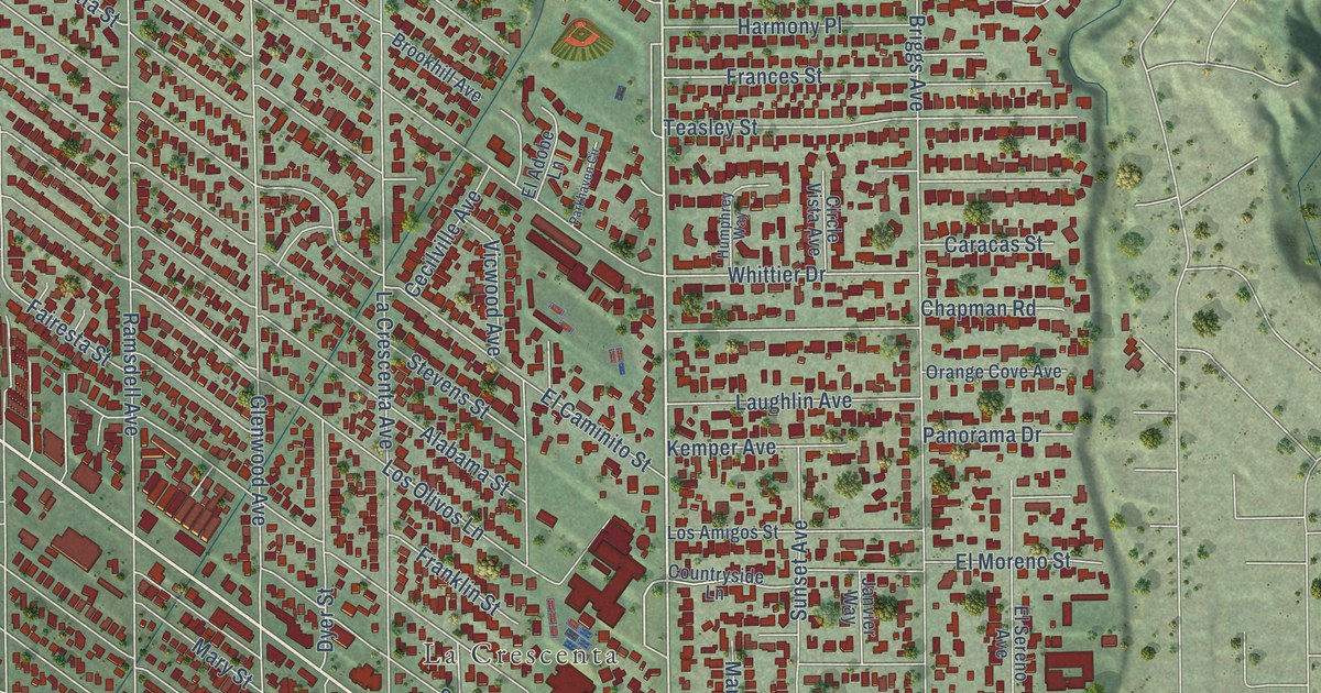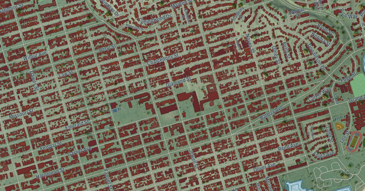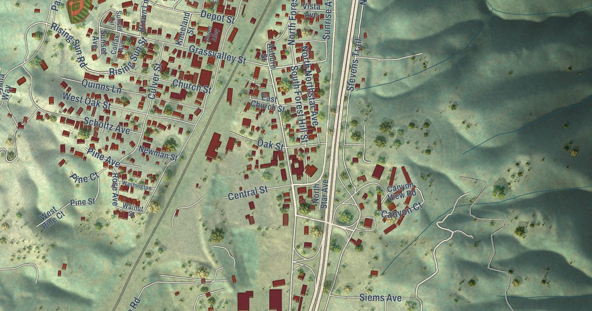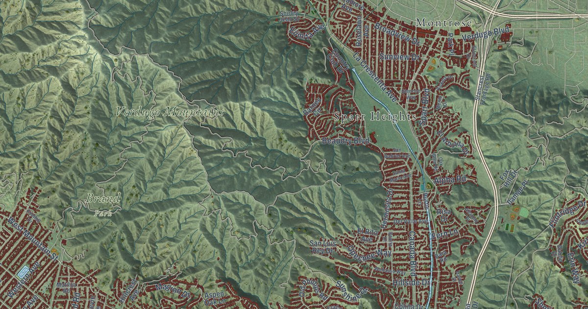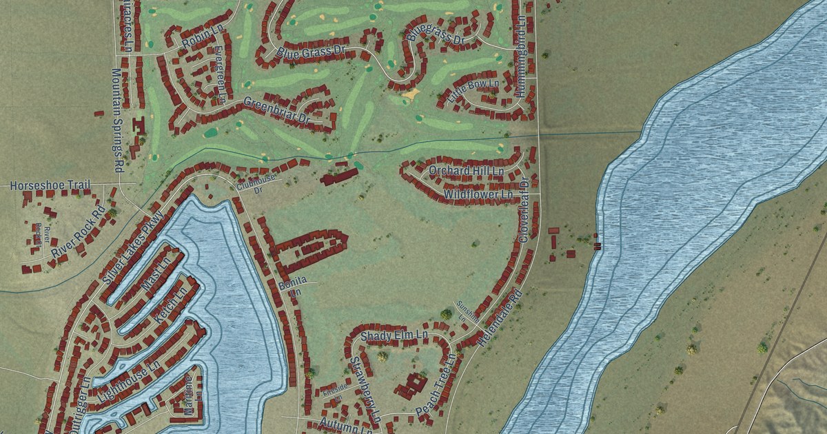
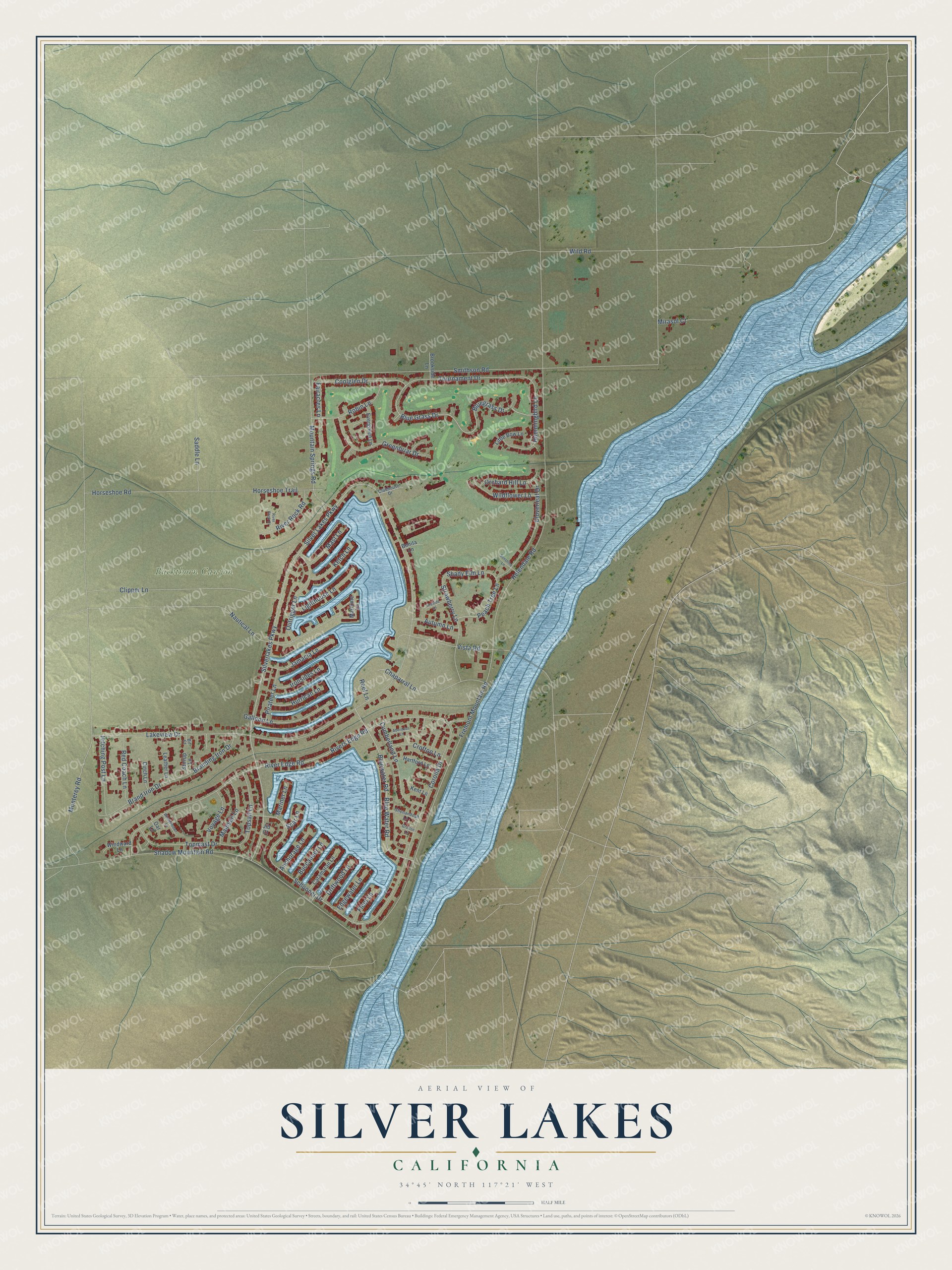
This beautifully detailed map of Silver Lakes, California was created in 2026 using aerial imagery combined with modern topographical, census, street and landmark data. It's a modern aerial view of Silver Lakes in San Bernardino County, California, that combines modern data with a vintage aesthetic. The roads feature printed names, and if you look closely you can find your exact house accurately shown in its correct location.
Explore an aerial view of Silver Lakes, California
On this map you'll find Buckthorn Canyon, Schooner Drive, Tournament Drive, Brand Iron Drive, Coolglen Drive, Blue Water Road, Shady Elm Lane, Monterey Road, Mountain Springs Road, Fremont Mountain Road, Jamacia Lane, Silverlakes Parkway, and more. Each red shape is a building, so zoom in on the preview and look for yours.
Silver Lakes is a community in San Bernardino County. The Census Bureau counted 6,317 people here in 2020. The map prints the town name in its title panel, with the coordinates below it.
Take a closer look at the Silver Lakes map
Names on this map
These names are printed on this map.
Places: Buckthorn Canyon.
Streets and roads: Schooner Drive, Tournament Drive, Brand Iron Drive, Coolglen Drive, Blue Water Road, Shady Elm Lane, Monterey Road, Mountain Springs Road, Fremont Mountain Road, Jamacia Lane, Silverlakes Parkway, Smithson Road.
More street names, A to Z
Aberdeen Lane, Anchorage Lane, Autumn Lane, Bit Court, Blue Grass Drive, Bluegrass Drive, Bluewater Road, Bonita Lane, Branding Iron Drive, Brookside Lane, Buccaneer Lane, Catamaran Lane, Chaparral Lane, Cinch Lane, Clipper Lane, Cloverleaf Drive, Clubhouse Drive, Corona Drive, Crofton Lane, Cumberland Lane, Driftwood Lane, Edgewater Lane, Evergreen Lane, Fairacres Lane, Fireside Lane, Fleet Lane, Galleon Lane, Grafton Lane, Greenbriar Drive, Hartford Lane, Helendale Road, Hitching Post Lane, Horseshoe Road, Horseshoe Trail, Hummingbird Lane, Hurrican Lane, Ironsides Lane, Jib Court, Kent Lane, Ketch Lane, Lakeview Drive, Leather Lane, Lighthouse Lane, Little Bow Lane, Mainsail Lane, Mariner Lane, Maritime Lane, Mast Lane, Mirasol Court, Nautical Lane, Oar Lane, Orchard Hill Lane, Outrigger Lane, Peach Tree Lane, Pirateer Lane, Red Coach Lane, Reef Lane, River Edge Road, River Rock Court, River Rock Road, Rivers Edge Road, Robin Lane, Saddle Lane, Shadow Mountain Road, Shenandoah Lane, Silver Lakes Parkway, Spar Lane, Stirrup Lane, Strawberry Lane, Sunshine Lane, Topmast Drive, Topsail Lane, Vista Road, Voyage Lane, Wildflower Lane, Wild Road, Windjammer Lane, Windward Lane.
Created by KNOWOL in 2026. The buildings are small red shapes, the roads carry their printed names, and shaded relief shows the shape of the land. The title panel reads "AERIAL VIEW OF SILVER LAKES CALIFORNIA" with 34°45' NORTH 117°21' WEST.
Hang it in the hallway, the office or the cabin, or give it to someone who left Silver Lakes and still calls it home. Open the preview and look for a street you know. See sizes and frames for the Silver Lakes map.