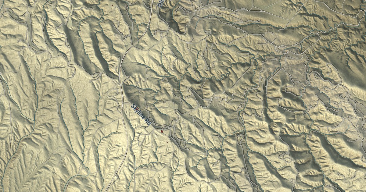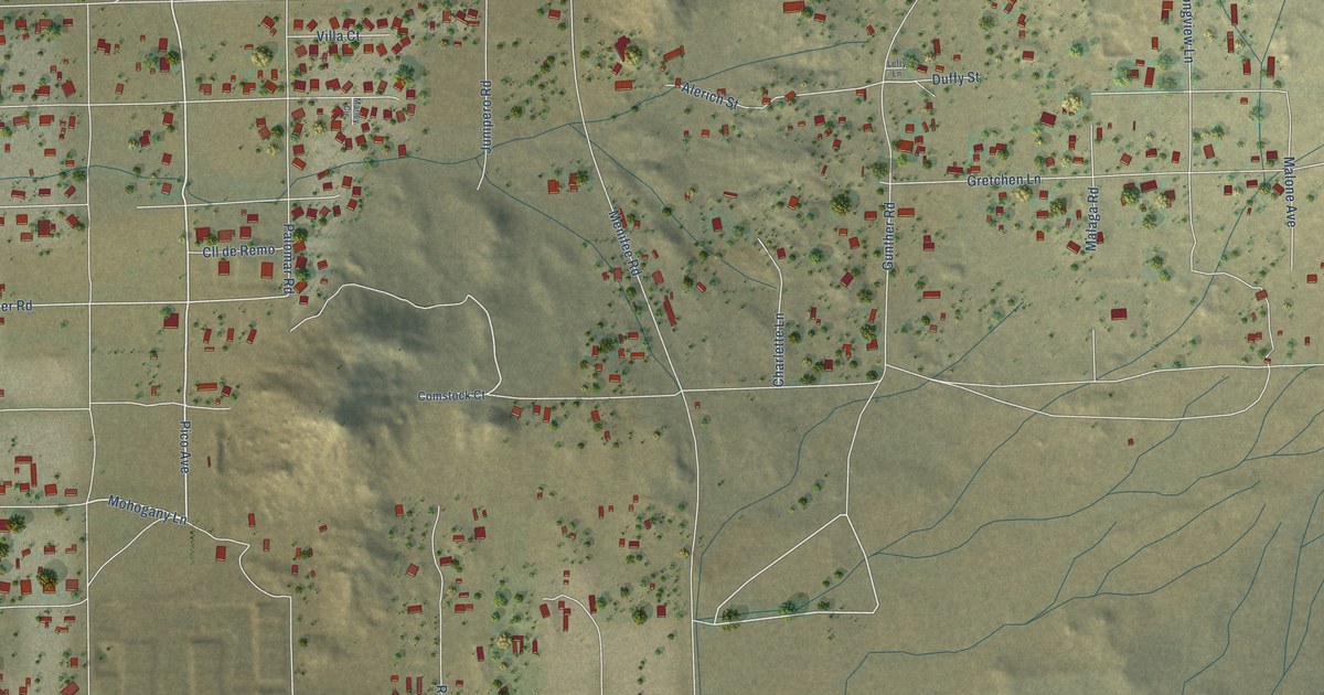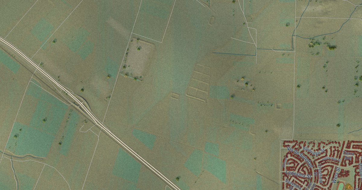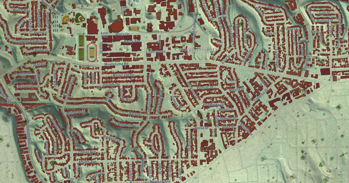
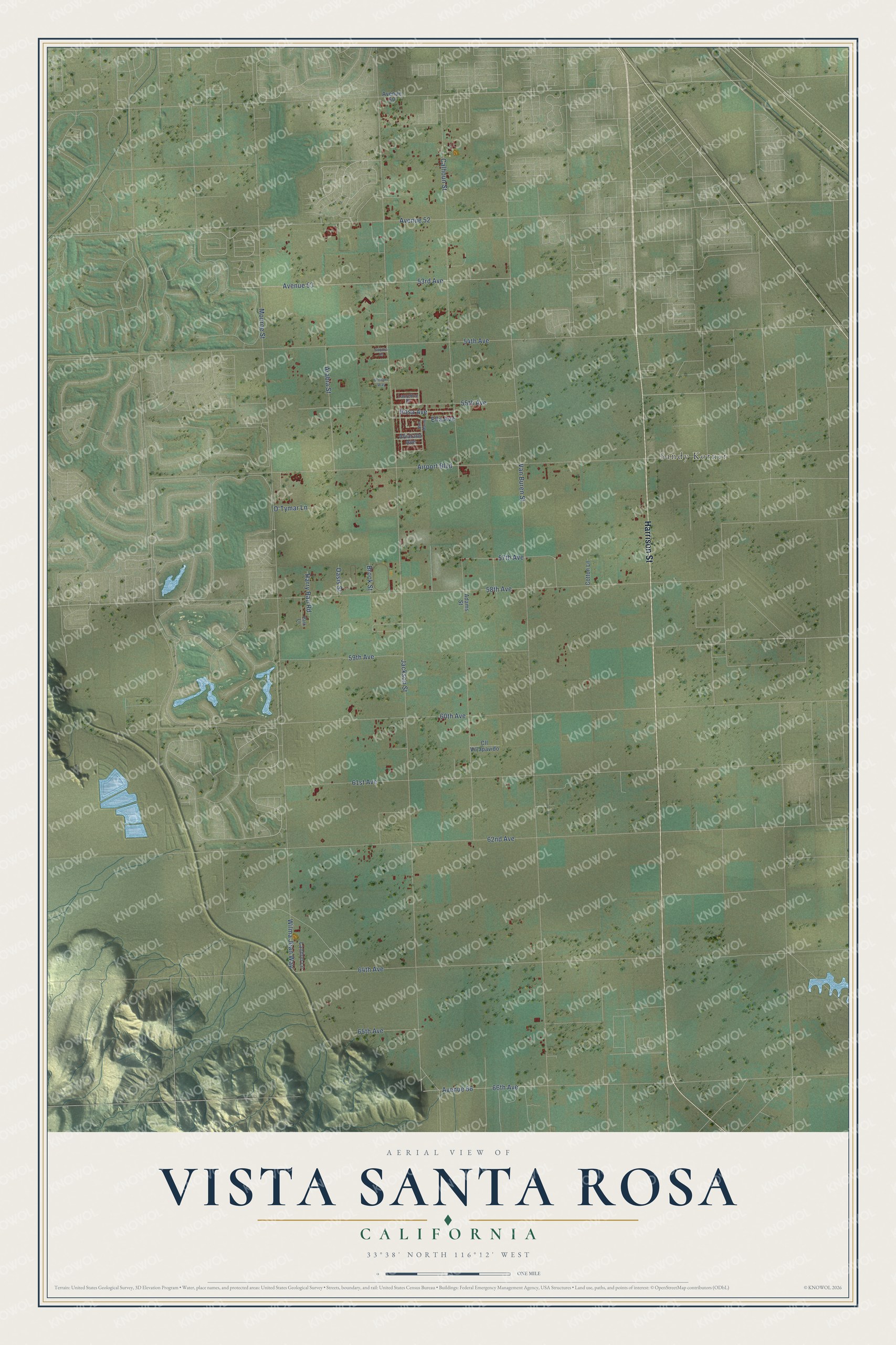
Vista Santa Rosa is a community of 2,607 in Riverside County, California. This beautifully detailed map of Vista Santa Rosa, California was created in 2026 using aerial imagery combined with modern topographical, census, street and landmark data. It's a modern aerial view of Vista Santa Rosa in Riverside County, California, that combines modern data with a vintage aesthetic. The roads feature printed names, and if you look closely you can find your exact house accurately shown in its correct location.
Explore an aerial view of Vista Santa Rosa, California
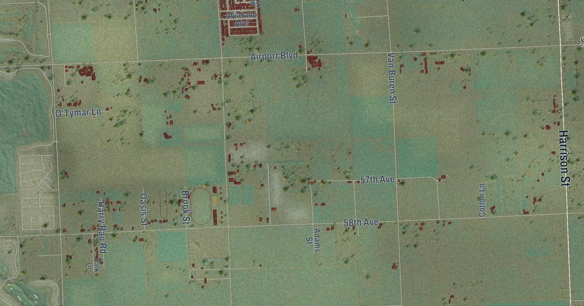
On this map you'll find Sandy Korner, Harrison Street, Jackson Street, Airport Boulevard, Van Buren Street, Calhoun Street, Monroe Street, 58th Avenue, 60th Avenue, 64th Avenue, 53rd Avenue, Avenue 53, and more. Each red shape is a building, so zoom in on the preview and look for yours.
Vista Santa Rosa has a story worth telling. The Riverside County Board of Supervisors recognized Vista Santa Rosa as a community in 2001. It is an important producer of dates, and its rural homes put an emphasis on horses, including polo facilities, with trails that connect it to Lake Cahuilla. That's from the Riverside County General Plan.
Take a closer look at the Vista Santa Rosa map
Names on this map
These names are printed on this map.
Places: Sandy Korner.
Streets and roads: Harrison Street, Jackson Street, Airport Boulevard, Van Buren Street, Calhoun Street, Monroe Street, 58th Avenue, 60th Avenue, 64th Avenue, 53rd Avenue, Avenue 53, 62nd Avenue.
More street names, A to Z
54th Avenue, 55th Avenue, 57th Avenue, 59th Avenue, 61st Avenue, 65th Avenue, 66th Avenue, Adams Street, Alvarado Avenue, Arabia Street, Avenue 50, Avenue 52, Avenue 66, Brook Street, Cll Villapavido, Cotton Lane, Ella Avenue, Harry Rau Road, Landon Lane, Laurence Drive, O'Tymar Lane, Oasis Street, Park Lane, Rosa Avenue, Rue Marne, Sandra Drive, William Way, Wilma Jean Way.
See it on a wall
The Vista Santa Rosa map as a framed print. Swipe for more.


Created by KNOWOL in 2026. The buildings are small red shapes, the roads carry their printed names, and shaded relief shows the shape of the land. The title panel reads "AERIAL VIEW OF VISTA SANTA ROSA, CALIFORNIA" with 33°38' NORTH 116°12' WEST.
It looks right in a kitchen, an office or a den, and it's a gift for anyone who grew up in Vista Santa Rosa or moved away. Open the preview and find your street. See sizes and frames for the Vista Santa Rosa map.