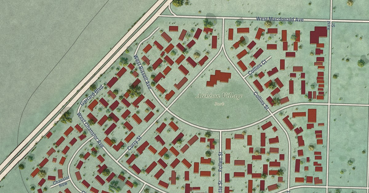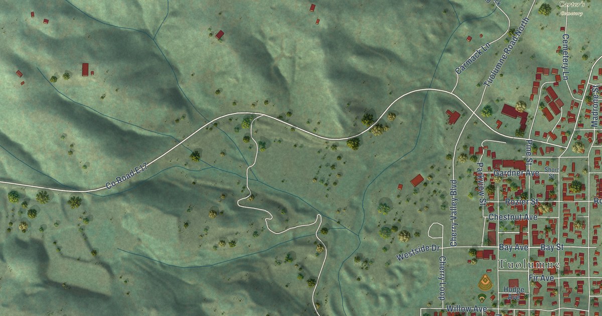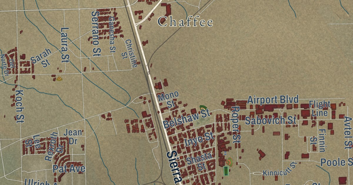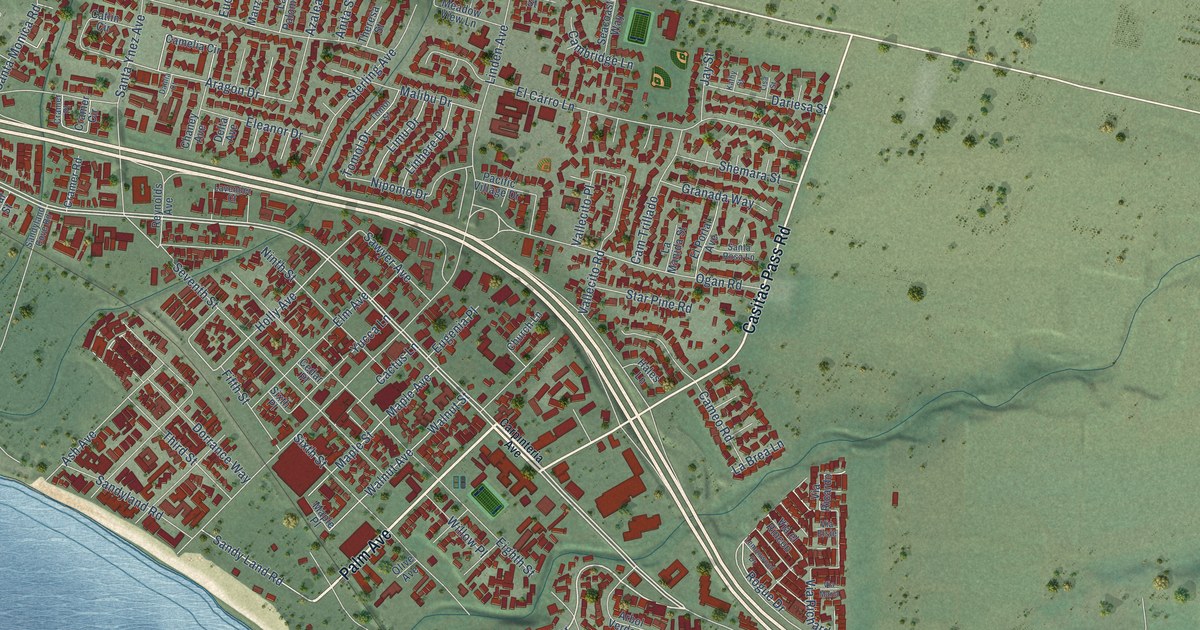
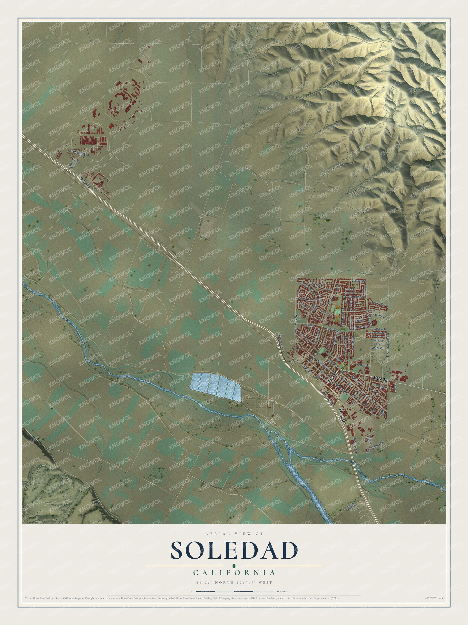
This beautifully detailed map of Soledad, California was created in 2026 using aerial imagery combined with modern topographical, census, street and landmark data. It’s a one-of-a-kind view of Soledad that combines accurate data with a vintage aesthetic. The map shows every building in its true location, many of the roads carry their names, and the shaded topographic relief shows the shape of the land.
Explore an aerial view of Soledad, California
On the map you’ll find Metz Road, Front Street, East Street, Winding Way, Nestles Road, Terraza Street, Larkspur Street, Barcelona Street, Portola Street, West Street, Orchard Lane, Monterey Street, and more. If you look closely you can even find your house accurately drawn in its correct location. Zoom in on the preview to look for yours.
Did you know this piece of Soledad, California history?
From the Historical Marker Database: "Southern Pacific Railroad reached Soledad in 1873. Until 1886, Soledad was the transportation hub for the Southern Monterey County."
Take a closer look at the Soledad map
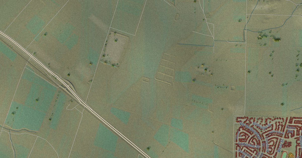
Street names on the Soledad, California map
These names are printed on the map of Soledad, California.
Streets and roads: Metz Road, Front Street, East Street, Winding Way, Nestles Road, Terraza Street, Larkspur Street, Barcelona Street, Portola Street, West Street, Orchard Lane, Monterey Street.
More street names, A to Z
Alhambra Street, Andalucia Drive, Anderson Street, Arroyo Seco Road, Asilomar Avenue, Benito Street, Blueridge Street, Bryant Canyon Road, Cedar Lane, Cordoba Street, Crestfield Street, Dixi Street, Eighth Street, Entrada Drive, First Street, Fourth Street, Franscioni Street, Gabilan Drive, Gabilian Drive, Goldenrod Street, Granada Street, Inca Drive, Iris Place, Kidder Street, La Colina Street, Las Flores Street, Ledesma Street, Los Coches Road, Madrid Street, Main Street, Malaga Court, Market Street, McCoy Road, Molera Street, Moranda Road, Munras Street, North Street, Oak Street, Palm Avenue, Park Street, Prado Drive, Relleum Drive, Robledo Drive, Rockrose Street, Rusconi Drive, Saavedra Street, San Antonio, San Fernando Street, San Gabriel, Santa Clara, Santa Lucia Drive, San Vicente Road, Second Street, Serrano Place, Sixth Street, Skinner Street, Soledad Prison Road, Soledad Street, Third Street, Tiburon Place, Ticino Street, Tierra Avenue, Valleyridge Street, Ventura Drive, Vida Street, Vis del Soledad, Vis de Soledad, Vista Avenue, Vosti Avenue, Walker Drive.
See the Soledad, California map on a wall
The Soledad map as an 18 x 24 inch print in a black frame.

This beautifully detailed map of Soledad makes an attractive addition to your office, library, or den, and it can even be used to teach children the geography and history of the area. It also makes a great gift for someone who left Soledad and still calls it home. When you’re done exploring, click here to get your copy of the Soledad map.