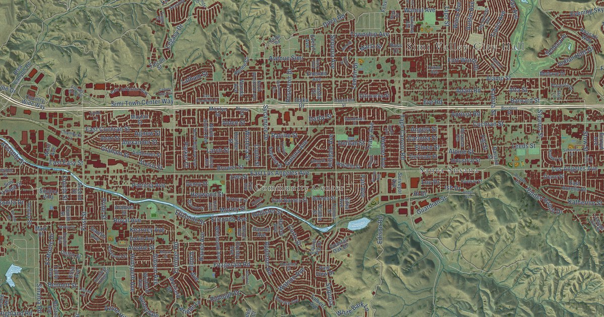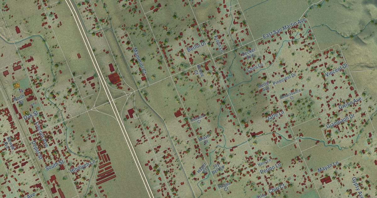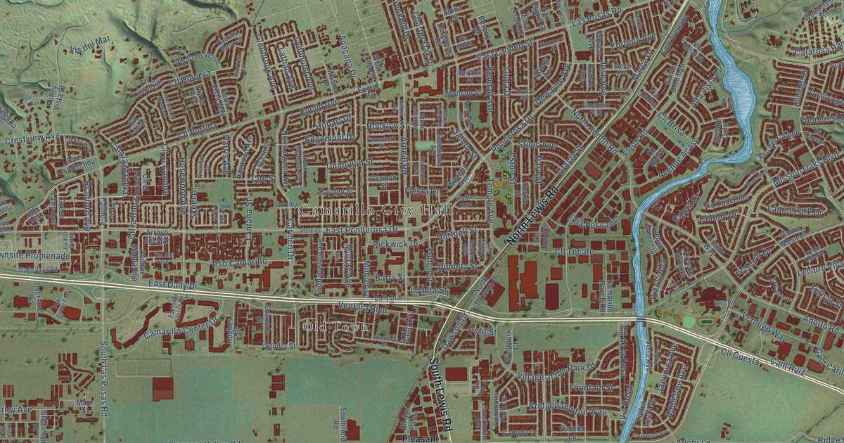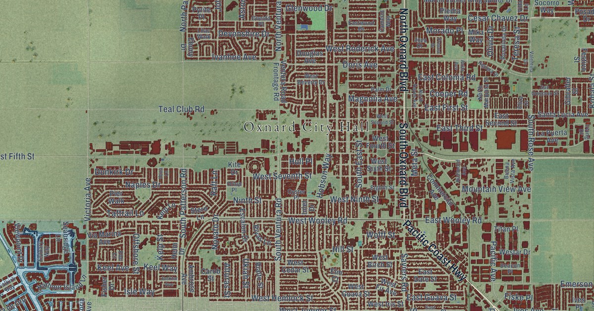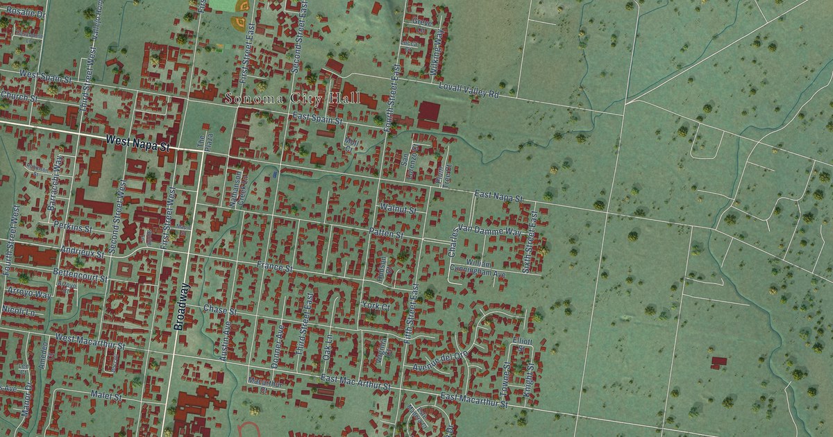
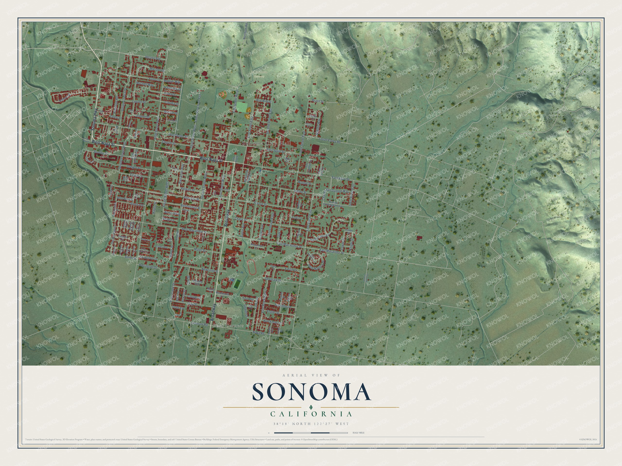
This beautifully detailed map of Sonoma, California was created in 2026 using aerial imagery combined with modern topographical, census, street and landmark data. It's a modern aerial view of Sonoma in Sonoma County, California, that combines modern data with a vintage aesthetic. The roads feature printed names, and if you look closely you can find your exact house accurately shown in its correct location.
Explore an aerial view of Sonoma, California
On this map you'll find Sonoma City Hall, Mountain Cemetery, Four Corners, West Napa Street, Sonoma Highway, Broadway, Verano Avenue, Montini Way, Fano Lane, Fourth Street West, Andrieux Street, Third Street West, and more. Each red shape is a building, so zoom in on the preview and look for yours.
Here is a piece of Sonoma history, in the words of the record. The record at ohp.parks.ca.gov puts it this way: "On July 4, 1823, Padre José Altamira founded this northernmost of California's Franciscan missions, the only one established in California under independent Mexico."
Sonoma is a city in Sonoma County. The Census Bureau counted 10,739 people here in 2020.
Take a closer look at the Sonoma map
Names on this map
These names are printed on this map.
Places: Sonoma City Hall, Mountain Cemetery, Four Corners and Vallejo Home State Park.
Streets and roads: West Napa Street, Sonoma Highway, Broadway, Verano Avenue, Montini Way, Fano Lane, Fourth Street West, Andrieux Street, Third Street West, Fourth Street East, France Street, Curtin Lane.
More street names, A to Z
Amedeo Court, Arroyo Court, Arroyo Way, Austin Avenue, Avenue del Oro, Barracchi Way, Beasley Way, Bernice Lane, Bettencourt Street, Blue Wing Drive, Boccoli, Brazil Street, Brockman Lane, Buena Vista Drive, Casabonne Lane, Cazares Circle, Charles Van Damme Way, Chase Street, Chiquita Camino, Church Street, Claudia Drive, Clay Street, Cooper Street, Cox Street, Davila Court, Del Rio Paseo, Denmark Street, Dewell Drive, Donner Avenue, East Brockman Lane, Eastin Drive, East Mac Arthur Street, East Macarthur Street, East Napa Street, East Spain Street, Eda Court, El Castillo Vis, Elliott Street, Emilys Meadow Court, Engler Street, Este Madera Court, Este Madera Drive, Evans Avenue, Fifth Street East, Fifth Street West, Fine Avenue, First Street East, First Street West, Fryer Creek Drive, Gregory Circle, Greve Lane, Guadalajara Drive, Haraszthy Drive, Harrington Drive, Hatchery Lane, Hayes Street, Hudson Court, Ingram Drive, Iris Way, Ivy Court, Janero Place, Joaquin Drive, Jones Street, Junipero Serra Drive, Knight Street, La Quinta Lane, Larkin Drive, La Serena Way, Lasuen Street, Lee Court, Leveroni Road, Linda Drive, Lovall Valley Road, Lubeck Street, Lucca Court, Lyon Street, Macarthur Court, Malet Street, Manor Drive, Manuella Lane, Maple Street, Marcy Court, Mariano Drive, Mitchell Way, Moll Court, Napa Road, Nash Street, Nathanson Creek Lane, Newcomb Street, Nicoli Lane, Nicora Place, Norrbom Road, Oak Lane, Oregon Street, Palou Street, Park Lane, Patten Street, Pearce Drive, Perkins Street, Pickett Street, Pina Avenue, Plum Tree Court, Pso Palencia, Pueblo Avenue, Ramon Street, Robinson Road, Robinson Street, Rosalie Drive, San Lorenzo Court, Saunders Drive, Second Street East, Second Street West, Seventh Street East, Seventh Street West, Sixth Street East, Sixth Street West, Smith Street, Sonora Drive, Spring Lane, Studley Street, The Plaza, Third Street East, Todd Avenue, Towne Street, Troy Lane, Virginia Court, Walnut Street, West Macarthur Street, West Spain Street, White Briar Drive, Wilking Way, William Cunningham Avenue, Woodworth Lane, York Court.
Created by KNOWOL in 2026. The buildings are small red shapes, the roads carry their printed names, and shaded relief shows the shape of the land. The title panel reads "AERIAL VIEW OF SONOMA CALIFORNIA" with 38°18' NORTH 122°27' WEST.
It suits a den, a classroom or a front hall, and it makes a gift for anyone with Sonoma roots. Open the preview and find the block you know. See sizes and frames for the Sonoma map.