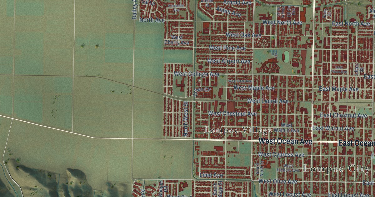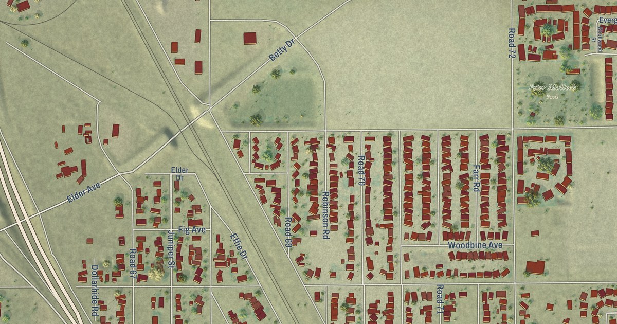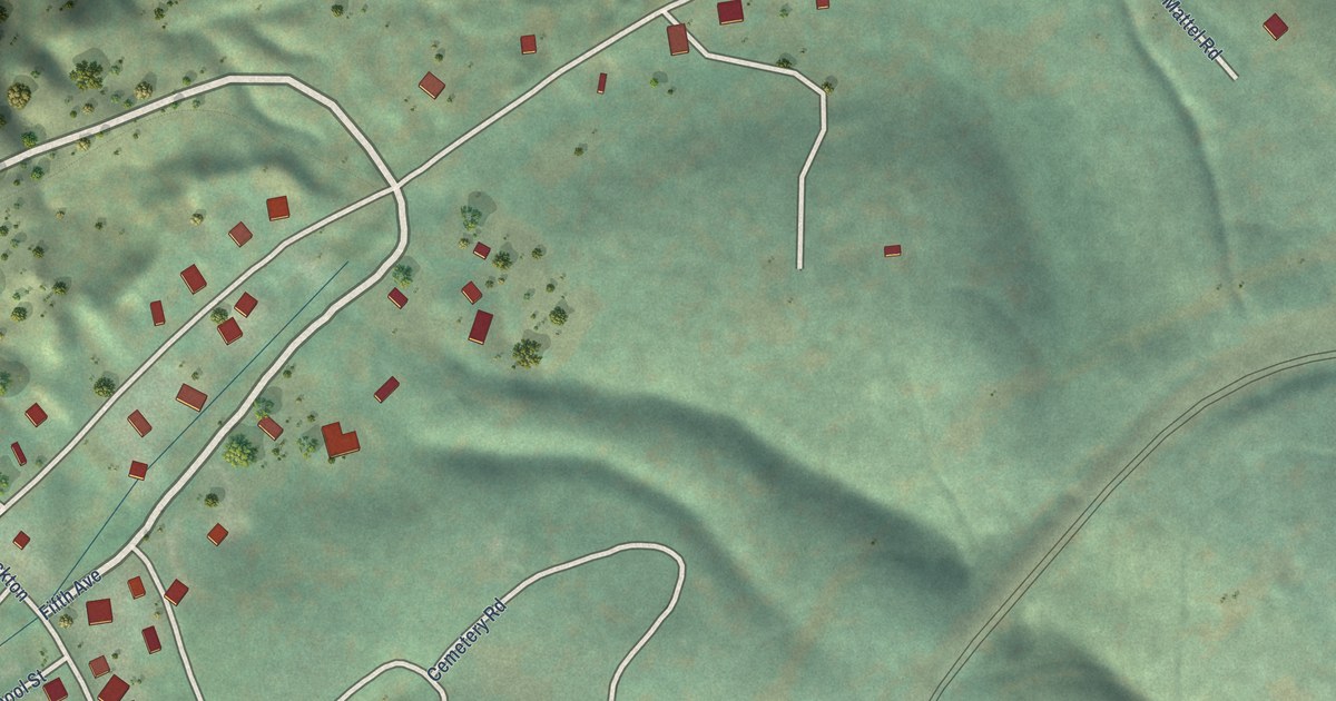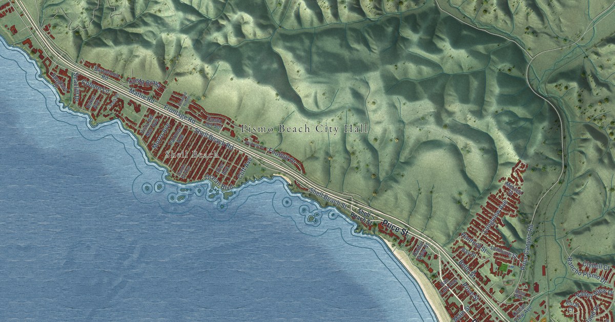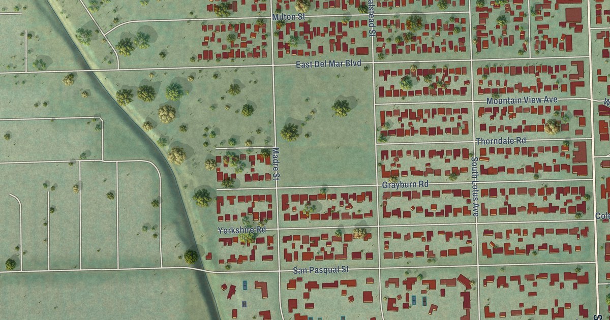
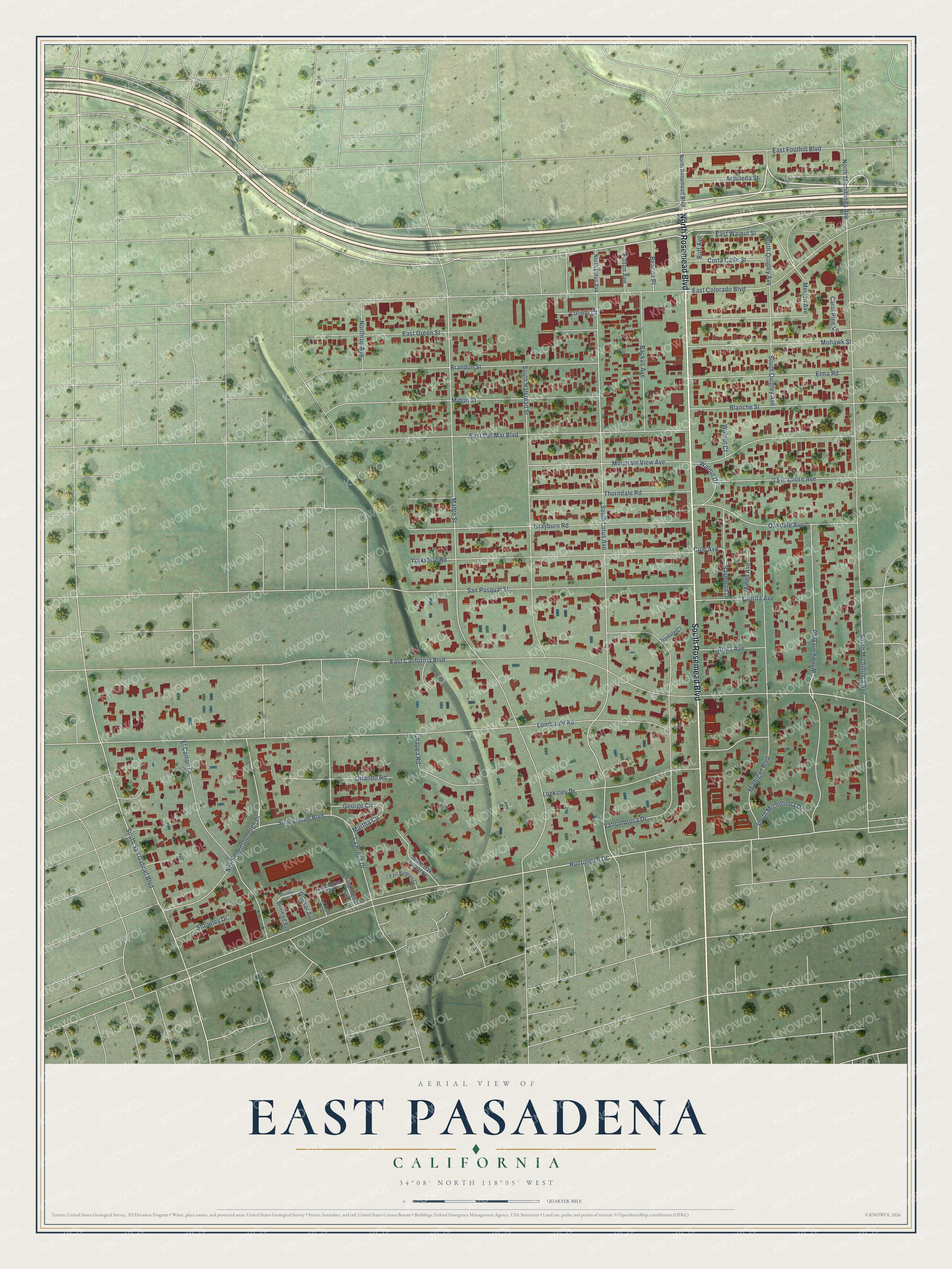
This beautifully detailed map of East Pasadena, California was created in 2026 using aerial imagery combined with modern topographical, census, street and landmark data. It's a modern aerial view of East Pasadena in Los Angeles County, California, that combines modern data with a vintage aesthetic. The roads feature printed names, and if you look closely you can find your exact house accurately shown in its correct location.
Explore an aerial view of East Pasadena, California
On this map you'll find South Rosemead Boulevard, North Rosemead Boulevard, South San Gabriel Boulevard, Huntington Drive, East California Boulevard, North Quigley Avenue, South Lotus Avenue, East Walnut Street, Madre Street, South Michillinda Avenue, Lombardy Road, East Colorado Boulevard, and more. Each red shape is a building, so zoom in on the preview and look for yours.
East Pasadena is a community in Los Angeles County. The Census Bureau counted 6,021 people here in 2020. East Pasadena sits about 2 miles northeast of San Marino, 2 miles west of Arcadia and 3 miles northwest of Temple City. The map prints the town name in its title panel, with the coordinates below it.
Take a closer look at the East Pasadena map
Names on this map
These names are printed on this map.
Streets and roads: South Rosemead Boulevard, North Rosemead Boulevard, South San Gabriel Boulevard, Huntington Drive, East California Boulevard, North Quigley Avenue, South Lotus Avenue, East Walnut Street, Madre Street, South Michillinda Avenue, Lombardy Road, East Colorado Boulevard.
More street names, A to Z
Anita Avenue, Arboleda Street, Backus Avenue, Beacon Place, Blanche Street, Brandon Street, Buff Avenue, Caesar Avenue, Carol Pine Lane, Chapea Road, Cole Avenue, Corta Calle Street, East Del Mar Boulevard, East Foothill Boulevard, East Green Street, East Palermo Court, El Campo Drive, Elma Road, Fulton Avenue, George Circle, Grayburn Road, Ivydale Court, La Encina Way, La Presa Drive, Las Brisas Way, Las Riendas Way, Laurita Avenue, Locksley Drive, Lofield Court, Martha Circle, Merlon Avenue, Michigan Boulevard, Milton Street, Minoa Avenue, Mohawk Street, Mountain View Avenue, North Gainsborough Drive, North Lotus Avenue, North Michillinda Avenue, Northrup Avenue, Oakdale Avenue, Orlando Road, Piccolo Street, Raymond Drive, San Pasqual Street, South Halstead Street, South Michillinda Drive, South Oak Forest Lane, South Quigley Avenue, Stoneley Drive, Sunnyslope Boulevard, Sycamore Avenue, Thorndale Road, Vallombrosa Drive, Walnut Court, Walnut Drive, Winifred Avenue, Woodward Boulevard, Yorkshire Road.
See it on a wall
The East Pasadena map as a framed print. Swipe for more.


Created by KNOWOL in 2026. The buildings are small red shapes, the roads carry their printed names, and shaded relief shows the shape of the land. The title panel reads "AERIAL VIEW OF EAST PASADENA, CALIFORNIA" with 34°08' NORTH 118°05' WEST.
It looks right in a kitchen, an office or a den, and it's a gift for anyone who grew up in East Pasadena or moved away. Open the preview and find your street. See sizes and frames for the East Pasadena map.