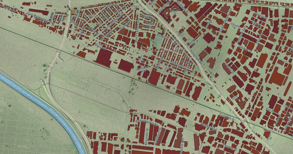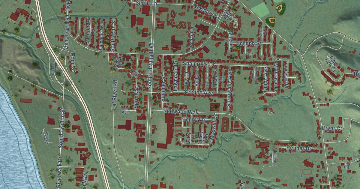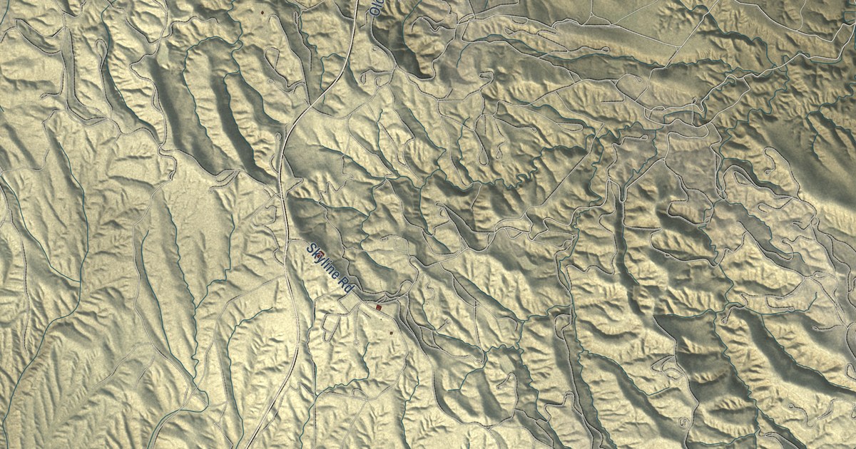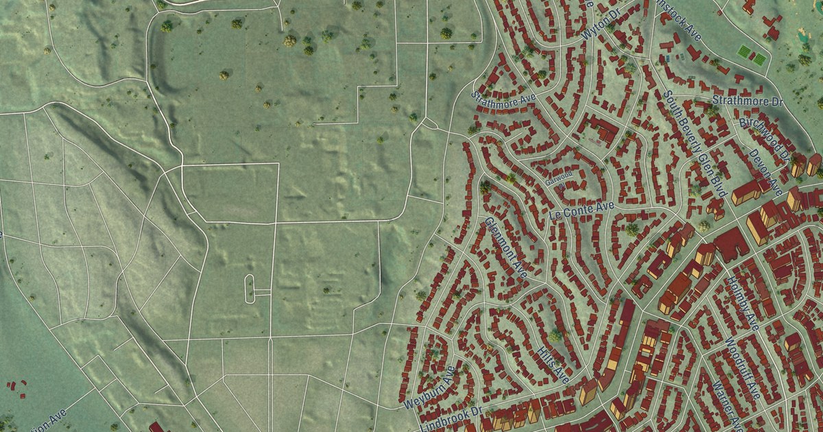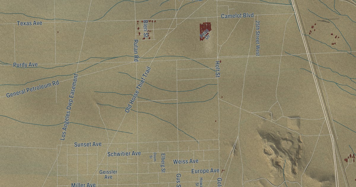
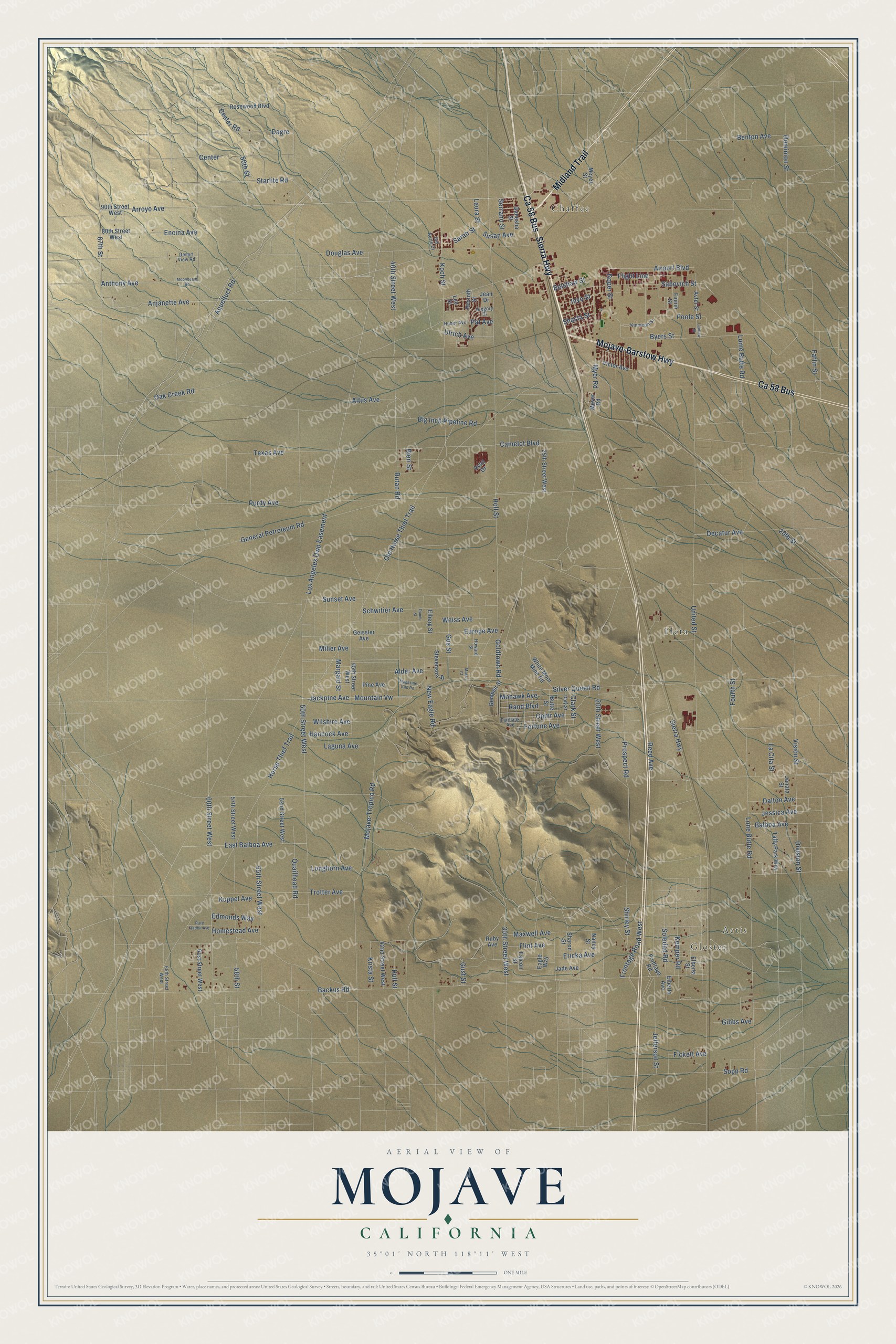
This beautifully detailed map of Mojave, California was created in 2026 using aerial imagery combined with modern topographical, census, street and landmark data. It's a modern aerial view of Mojave in Kern County, California, that combines modern data with a vintage aesthetic. The roads feature printed names, and if you look closely you can find your exact house accurately shown in its correct location.
Explore an aerial view of Mojave, California
On this map you'll find Gloster, Actis, Chaffee, Fleta, Midland Trail, Ca 58 Bus, Sierra Highway, Mojave-Barstow Highway, Arroyo Avenue, Starlite Road, Anjanette Avenue, 67th Street, and more. Each red shape is a building, so zoom in on the preview and look for yours.
Mojave has a story worth telling. The record at ohp.parks.ca.gov puts it this way: "The ore wagons, which hauled a payload of 24 tons, were designed by J."
Mojave is a community in Kern County. The Census Bureau counted 4,699 people here in 2020.
Take a closer look at the Mojave map
Names on this map
These names are printed on this map.
Places: Gloster, Actis, Chaffee and Fleta.
Streets and roads: Midland Trail, Ca 58 Bus, Sierra Highway, Mojave-Barstow Highway, Arroyo Avenue, Starlite Road, Anjanette Avenue, 67th Street, Old Horse Thief Trail, Byers Street, Rutan Road, 60th Street West.
More street names, A to Z
20th Street, 20th Street West, 25th Street West, 30th Street West, 40th Street West, 42nd Street West, 45th Street West, 50th Street, 50th Street West, 52nd Street West, 55th Street West, 57th Street West, 58th Street, 61st Street West, 65th Street West, 80th Street West, 90th Street West, Airport Boulevard, Alder Avenue, Altus Avenue, Anthony Avenue, Aqueduct Road, Avon Drive, Avtel Street, Backus Road, Balboa Avenue, Belshaw Street, Benton Avenue, Bieri Street, Big Inch Pipeline Road, Butte Street, Camelot Boulevard, Center, Center Road, Clark Street, Dagre, Dalton Avenue, Daly Street, Daum Street, Decatur Avenue, Del Norte Drive, Desert View Road, Division Street, Dominion Street, Douglas Avenue, Eagle Way, East Balboa Avenue, Edmonds Way, Elberg Street, Elberta Avenue, Elberta Street, Encina Avenue, Ericka Avenue, Europe Avenue, Fairbank Avenue, Falcon Street, Farlin Street, Fickett Avenue, Finnin Street, Flight Line, Flint Avenue, Fortune Avenue, Fourth Street, Frontage Road, Frontage Road West, Ganesha Street, Geissler Avenue, Gempen Street, General Petroleum Road, Gibbs Avenue, Goldtown Road, Gregory Drive, Gus Street, Gust Street, Hancock Avenue, Holt Street, Homestead Avenue, Horse Thief Trail, Howard Street, Huber Avenue, Hull Street, Inyo Street, Jackpine Avenue, Jade Avenue, Janata Street, Jean Drive, Jefferson Street, Jessica Avenue, Kemper Road, Kinnicutt Street, Koch Street, Krista Street, Kuppel Avenue, La Cita Street, Laguna Avenue, Laidlaw Street, Laura Street, Lee Street, Lome Butte Road, Lone Butte Road, Longhorn Avenue, Los Angeles Dwp Easement, Magazine Gap Road, Margald Street, Mass Court, Maxwell Avenue, Meyer Road, Meyer Street, Miller Avenue, Mohawk Avenue, Mojave-Tropico Road, Moonbeam Road, Mountain Vw, Myer Road, Nancy Street, New Eagle Road, Oak Creek Road, Ophir Avenue, Pat Avenue, Pine Avenue, Poole Street, Prospect Road, Purdy Avenue, Quailhead Road, Rand Boulevard, Rare Rabbit Avenue, Reed Avenue, Rexroth Street, Roper Street, Rosewood Boulevard, Ruby Avenue, Sabovich Street, Sarah Street, Schwitier Avenue, Serrano Street, Sharon Street, Shasta Street, Shirley Street, Silver Queen Road, Soledad Road, Sopp Road, Stevenson Street, Sunset Avenue, Susan Avenue, Taffy Park Way, Texas Avenue, Trotter Avenue, Ulrich Avenue, United Street, Victor Avenue, Vision Street, Weiss Avenue, White Moor Mine Road, Wilshire Avenue.
Created by KNOWOL in 2026. The buildings are small red shapes, the roads carry their printed names, and shaded relief shows the shape of the land. The title panel reads "AERIAL VIEW OF MOJAVE CALIFORNIA" with 35°01' NORTH 118°11' WEST.
It looks right in a kitchen, an office or a den, and it's a gift for anyone who grew up in Mojave or moved away. Open the preview and find your street. See sizes and frames for the Mojave map.