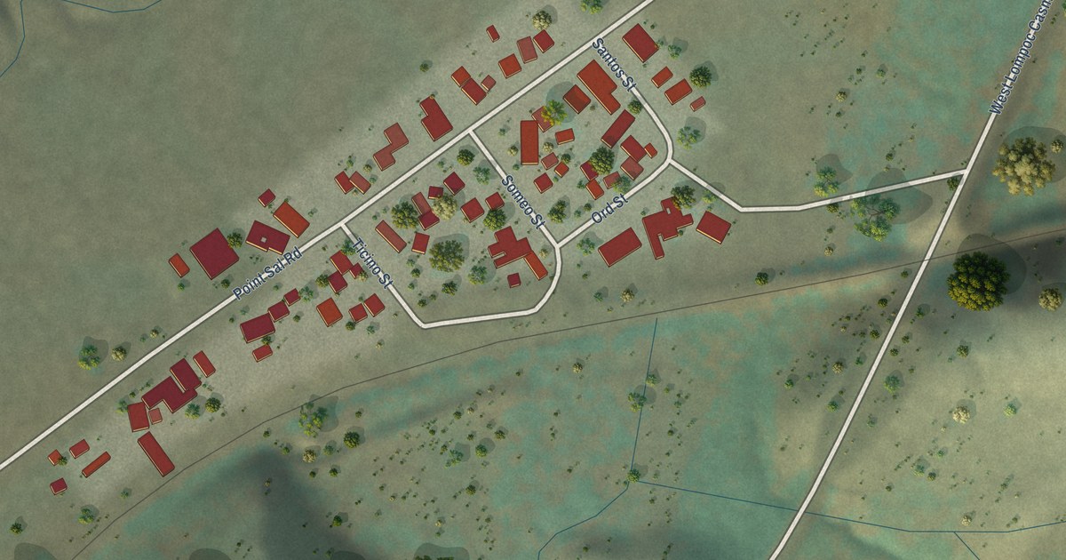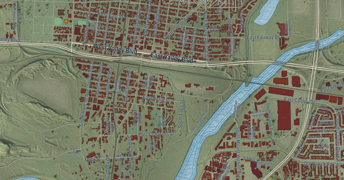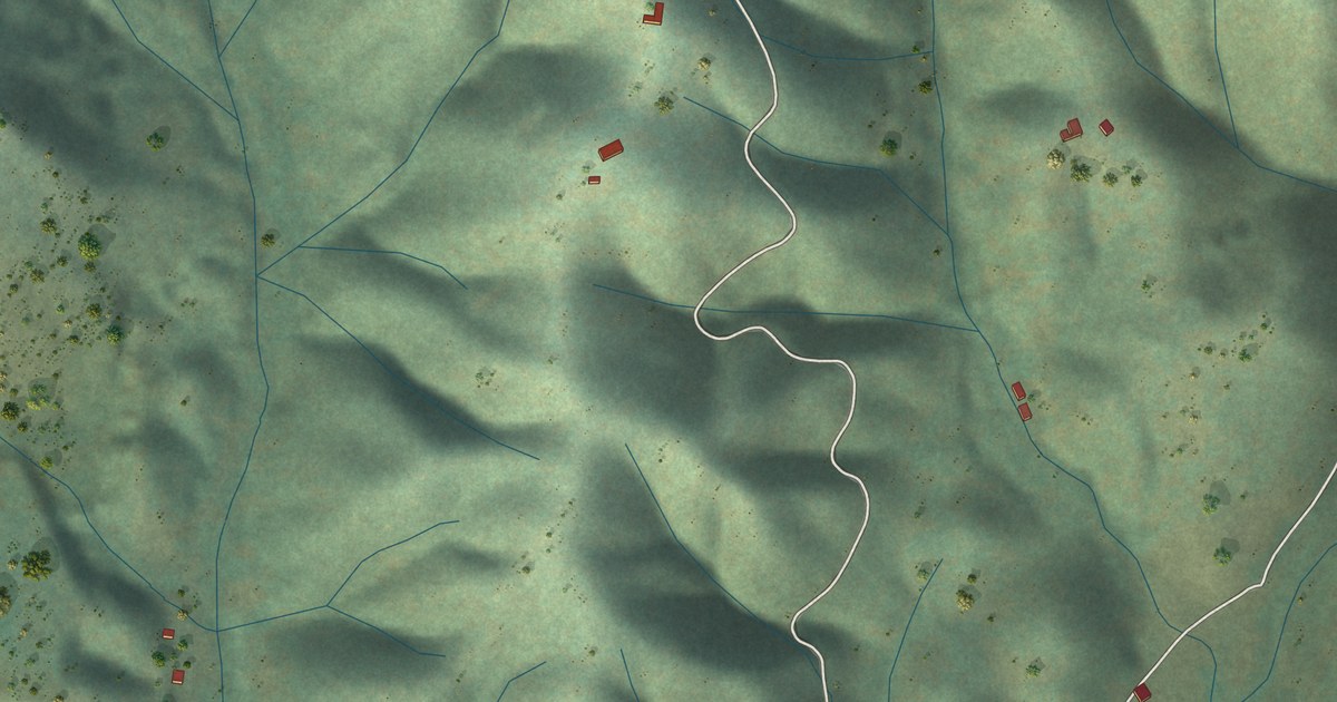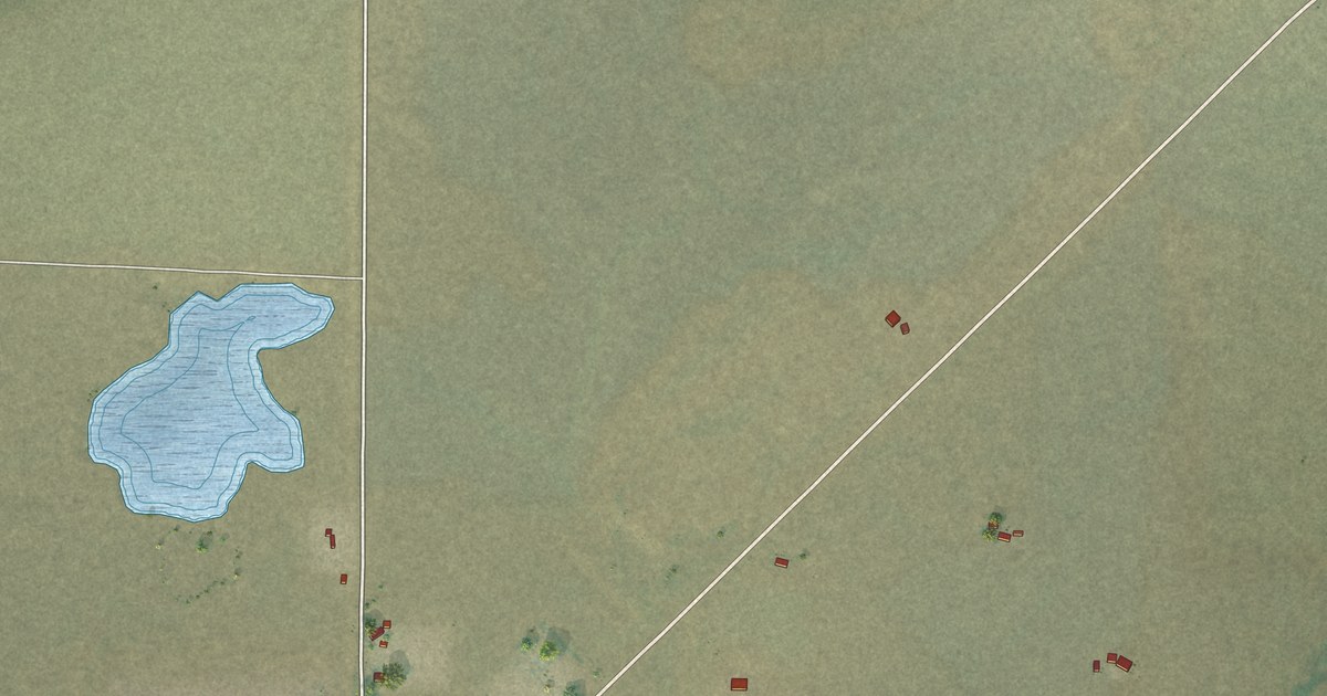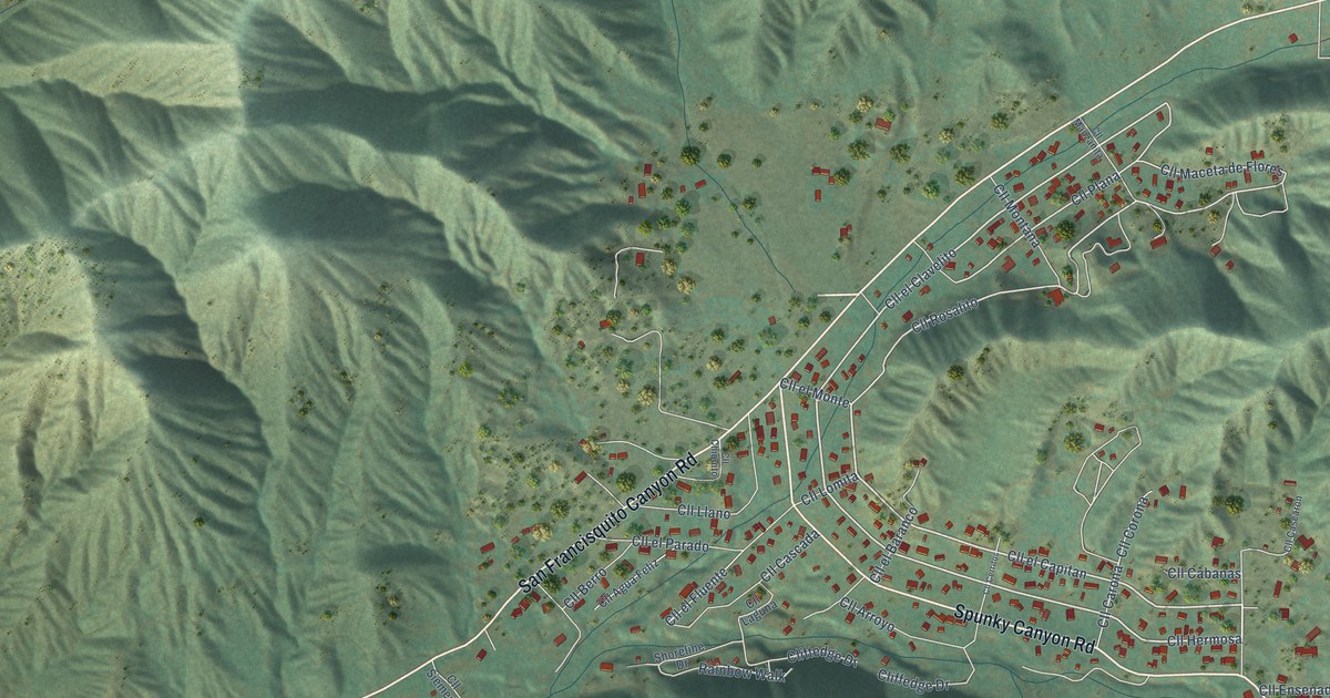
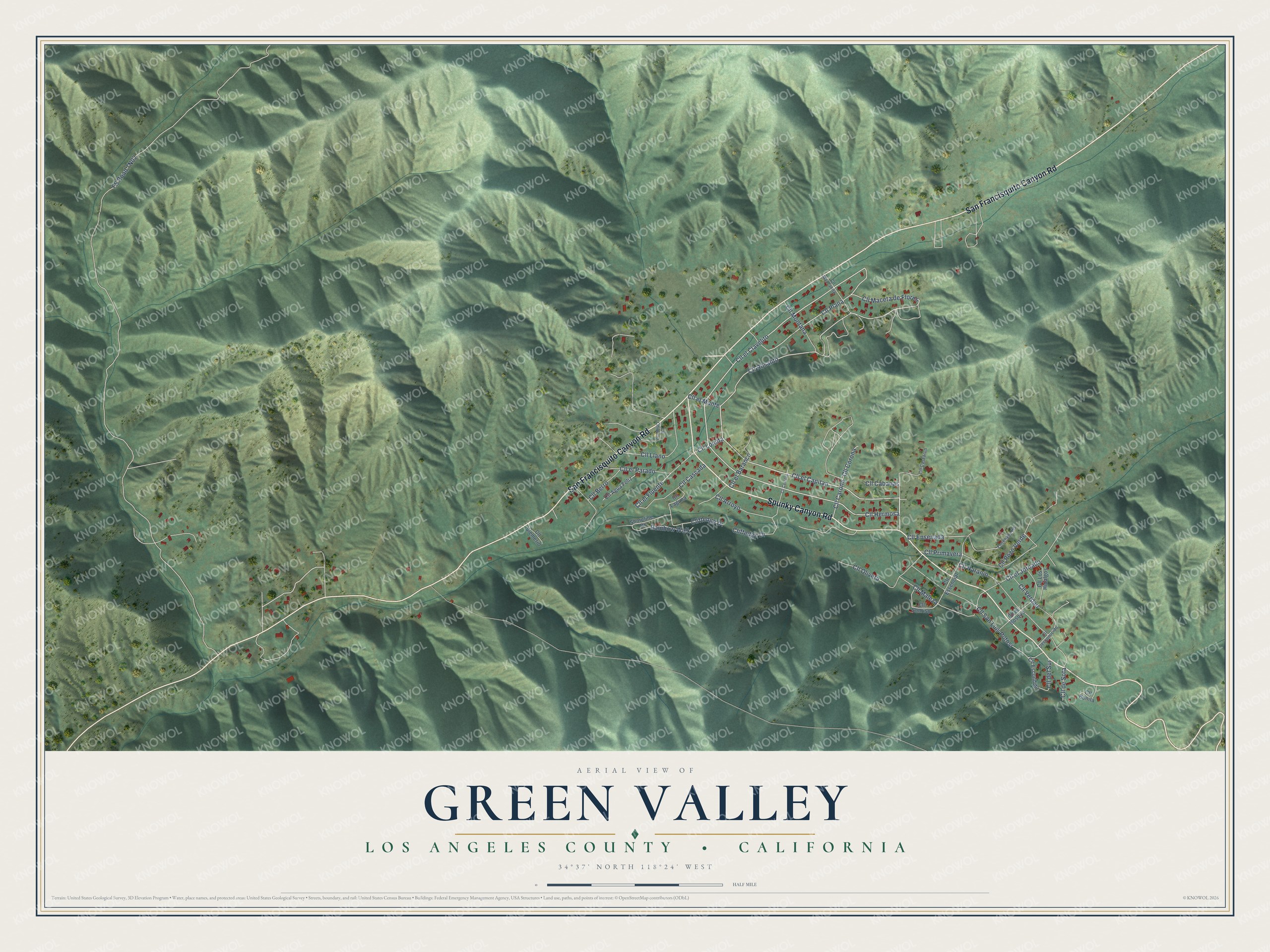
This beautifully detailed map of Green Valley, California was created in 2026 using aerial imagery combined with modern topographical, census, street and landmark data. It's a modern aerial view of Green Valley in Los Angeles County, California, that combines modern data with a vintage aesthetic. The roads feature printed names, and if you look closely you can find your exact house accurately shown in its correct location.
Explore an aerial view of Green Valley, California
On this map you'll find San Francisquito Canyon Road, Spunky Canyon Road, Cll el Capitan, Cll Hermosa, Cll el Clavelito, Cll Rosalito, Cll Plana, Cll el Monte, FS Road 7N02, Cll San Luis Potosi, Cll Naranjo, Cll el Jornado, and more. Each red shape is a building, so zoom in on the preview and look for yours.
Green Valley is a community in Los Angeles County. The Census Bureau counted 1,036 people here in 2020. Green Valley sits about 3 miles southwest of Elizabeth Lake, 5 miles southeast of Lake Hughes and 6 miles west of Leona Valley. The map prints the town name in its title panel, with the coordinates below it.
Take a closer look at the Green Valley map
Names on this map
These names are printed on this map.
Streets and roads: San Francisquito Canyon Road, Spunky Canyon Road, Cll el Capitan, Cll Hermosa, Cll el Clavelito, Cll Rosalito, Cll Plana, Cll el Monte, Cll San Luis Potosi, Cll Naranjo, Cll el Jornado, Cll Ensenada.
More street names, A to Z
Cliffedge Drive, Cliftedge Drive, Cll Agua Feliz, Cll Arroyo, Cll Berro, Cll Bonita, Cll Cabanas, Cll Carona, Cll Cascada, Cll Cascaron, Cll Cerritos, Cll Chiquito, Cll Corona, Cll del Sur, Cll Desconocido, Cll de Sota, Cll el Baranco, Cll el Bosque, Cll el Fluente, Cll el Parado, Cll Escondido, Cll Essencial, Cll Laguna, Cll Llano, Cll Lomita, Cll Los Hidalgos, Cll Maceta de Flores, Cll Maleza, Cll Manzanita, Cll Montana, Cll Olivera, Cll Pozo Verde, Cll Primavera, Cll Siemerio, Cll Sonriso, Cll Verdad, Ensenada Road, Rainbow Walk, Shoreline Drive.
See it on a wall
The Green Valley map as a framed print. Swipe for more.


Created by KNOWOL in 2026. The buildings are small red shapes, the roads carry their printed names, and shaded relief shows the shape of the land. The title panel reads "AERIAL VIEW OF GREEN VALLEY, LOS ANGELES COUNTY • CALIFORNIA" with 34°37' NORTH 118°24' WEST.
It looks right in a kitchen, an office or a den, and it's a gift for anyone who grew up in Green Valley or moved away. Open the preview and find your street. See sizes and frames for the Green Valley map.