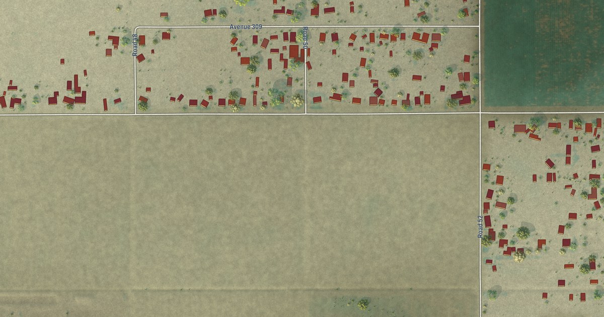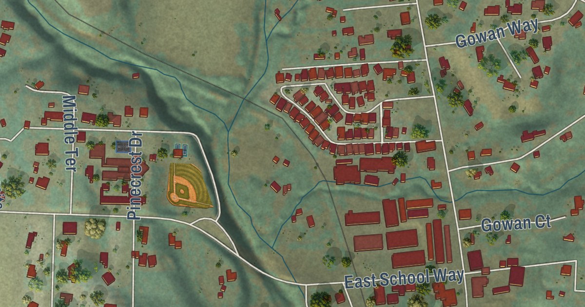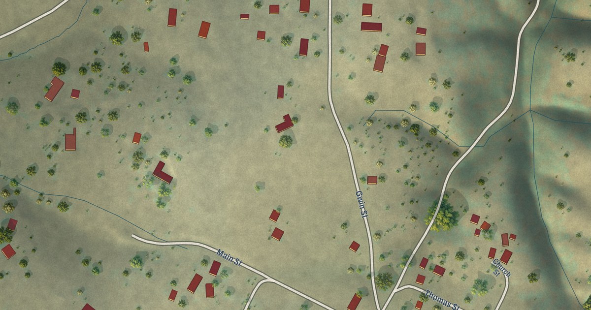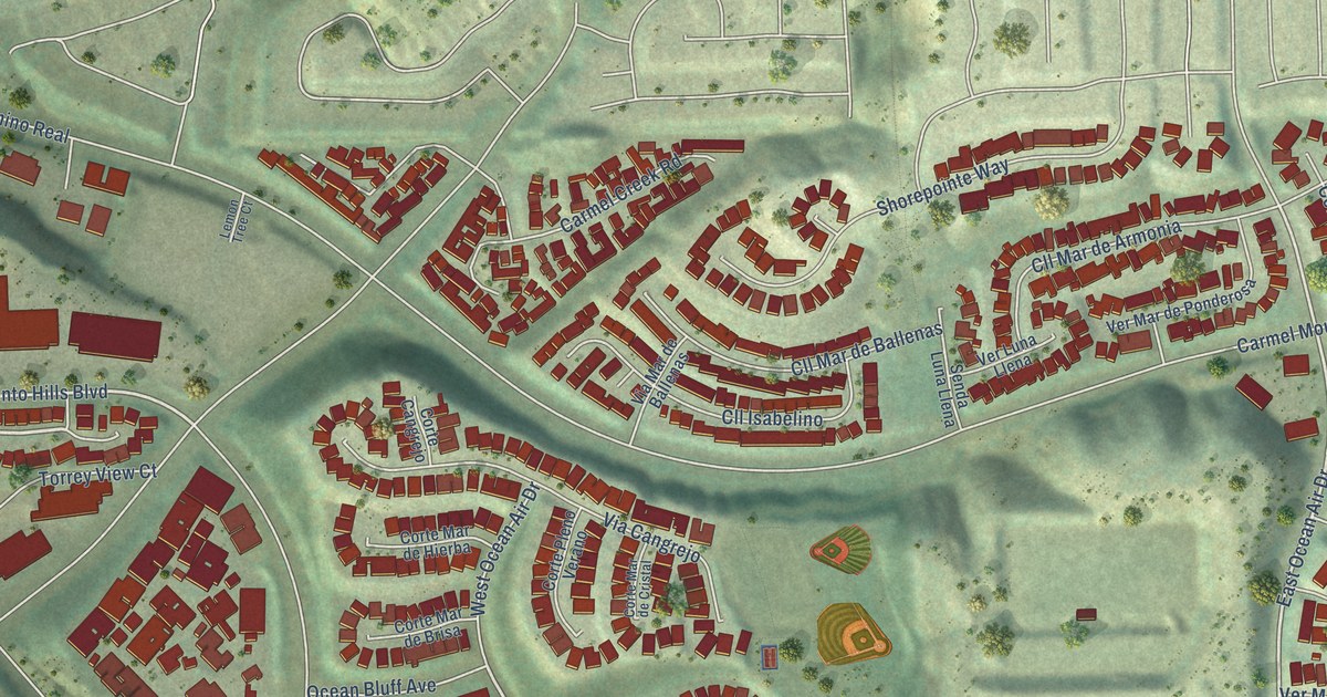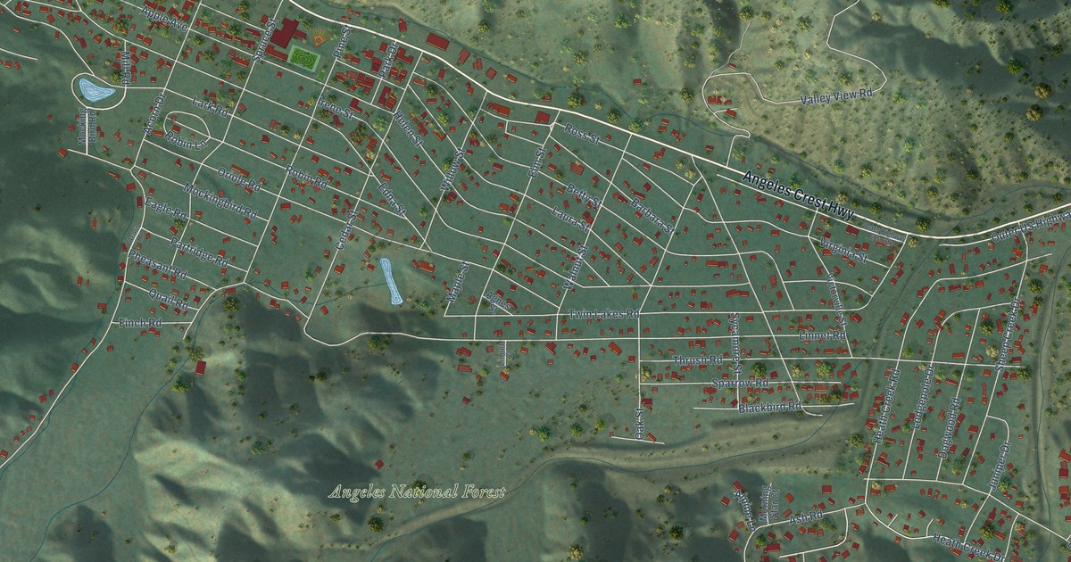
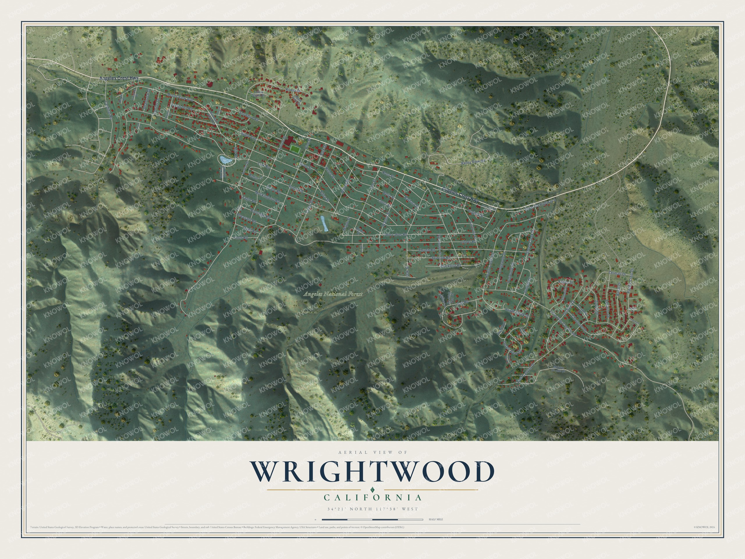
This beautifully detailed map of Wrightwood, California was created in 2026 using aerial imagery combined with modern topographical, census, street and landmark data. It’s a one-of-a-kind view of Wrightwood that combines accurate data with a vintage aesthetic. The map shows every building in its true location, many of the roads carry their names, and the shaded topographic relief shows the shape of the land.
Explore an aerial view of Wrightwood, California
On the map you’ll find Angeles National Forest, along with Angeles Crest Highway, Cardinal Road, Elm Street, Mount View Avenue, Lone Pine Canyon Road, Lark Road, Oriole Road, Twin Lakes Road, Acorn Drive, Irene Street, Linnet Road, and more. If you look closely you can even find your house accurately drawn in its correct location. Zoom in on the preview to look for yours.
Did you know this piece of Wrightwood, California history?
From San Bernardino County: "In the early 1900s, the Wright family eventually obtained two thirds of the land in the valley, and established the 1,000 head Circle Mountain Ranch at the eastern end of the community. The family established an apple orchard and raised cattle. Sumner Wright broke up residential and commercial lots beginning in 1924, and a community took roots as Wrightwood."
Take a closer look at the Wrightwood map
Street and place names on the Wrightwood, California map
These names are printed on the map of Wrightwood, California.
Places: Angeles National Forest.
Streets and roads: Angeles Crest Highway, Cardinal Road, Elm Street, Mount View Avenue, Lone Pine Canyon Road, Lark Road, Oriole Road, Twin Lakes Road, Acorn Drive, Irene Street, Linnet Road, Edna Street.
More street names, A to Z
Acorn Road, Agnes Street, Alpine Lane, Apple Avenue, Apple Vista Drive, Ash Road, Barbara Street, Basel Drive, Berne Place, Betty Street, Blackbird Road, Cedar Street, Chaumont Drive, Chaumont Lane, Conifer Drive, Desert View Court, Desert View Drive, Desert View Lane, Division Street, Dogwood Road, Eagle Road, East Canyon Drive, Easter Drive, Evergreen Road, Finch Road, Geneva Court, Heath Creek Drive, Heath Creek Road, Helen Street, Juniper Drive, Laura Street, Lausanne Drive, Linnet Court, Locarno Drive, Lodgepole Drive, Lucerne Place, Maple Street, Mill Road, Mockingbird Road, Mocking Bird Road, Mojave Scenic Drive, Morning Star Court, Mountain View Avenue, Oak Street, Orchard Drive, Oriole Court, Outer Highway 2 South, Outer US Highway 2, Pacific Crest Drive, Park Drive, Partridge Road, Penguin Lane, Pheasant Road, Pine Street, Quail Road, Rivera Drive, Robin Lane, Robin Road, Ross Street, Shamrock Drive, Sheep Creek Drive, Snowbird Road, Sparrow Road, Spruce Street, Summit Drive, Swarthout Lane, Sycamore Street, Thrush Road, Valley View Road, Victorville Street, Virginia Street, Walnut Street, Willow Street, Yellow Stone Drive, Zermatt Drive, Zurich Drive.
See the Wrightwood, California map on a wall
The Wrightwood map as an 18 x 24 inch print in a black frame.

This beautifully detailed map of Wrightwood makes an attractive addition to your office, library, or den, and it can even be used to teach children the geography and history of the area. It also makes a great gift for someone who left Wrightwood and still calls it home. When you’re done exploring, click here to get your copy of the Wrightwood map.