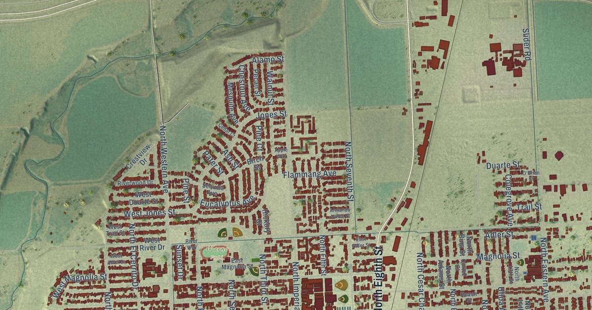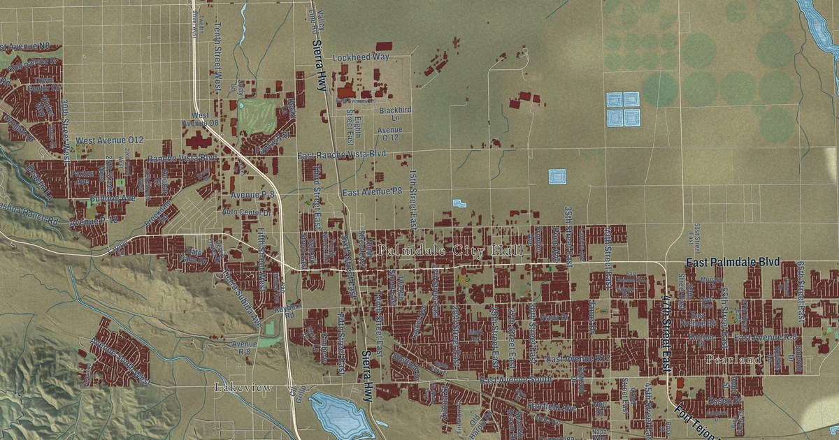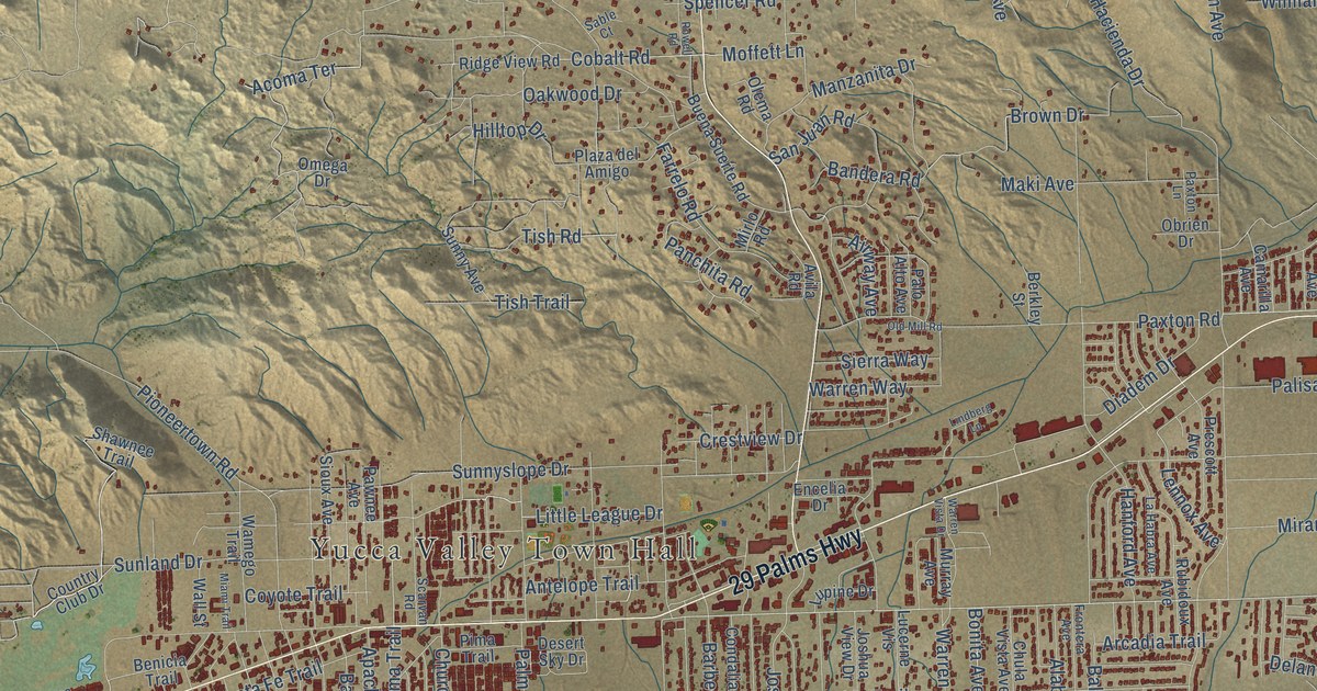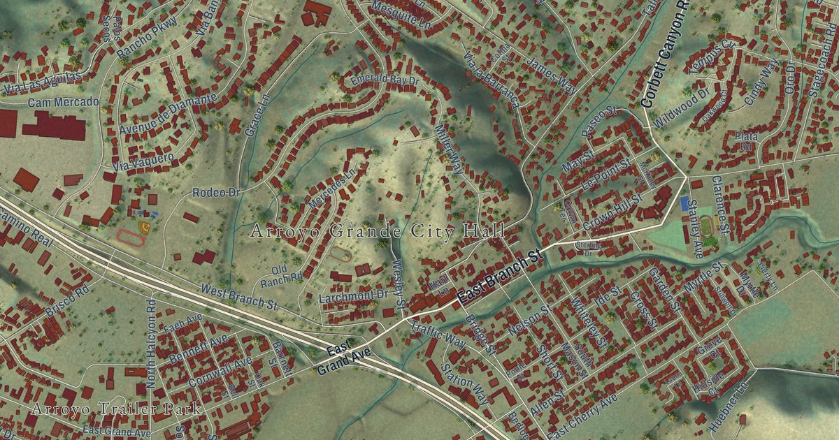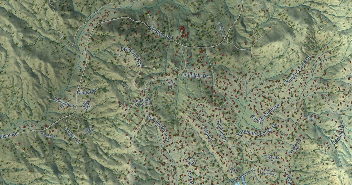
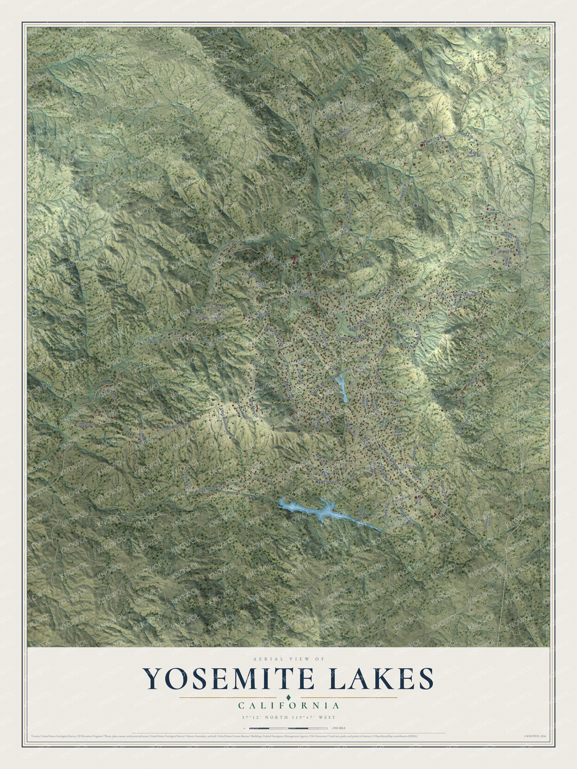
This beautifully detailed map of Yosemite Lakes, California was created in 2026 using aerial imagery combined with modern topographical, census, street and landmark data. It's a modern aerial view of Yosemite Lakes in Madera County, California, that combines modern data with a vintage aesthetic. The roads feature printed names, and if you look closely you can find your exact house accurately shown in its correct location.
Explore an aerial view of Yosemite Lakes, California
On this map you'll find Yosemite Lakes Park, Fresno Crossing, Yosemite Springs Parkway, Road 400, Lilley Mountain Drive, A9 River Road, Revis Road, River Road, North Dome Drive, Long Hollow Drive, Raymond Road, Road 415, and more. Each red shape is a building, so zoom in on the preview and look for yours.
Yosemite Lakes is a community in Madera County. The Census Bureau counted 5,022 people here in 2020. The map prints the town name in its title panel, with the coordinates below it.
Take a closer look at the Yosemite Lakes map
Names on this map
These names are printed on this map.
Places: Yosemite Lakes Park and Fresno Crossing.
Streets and roads: Yosemite Springs Parkway, Road 400, Lilley Mountain Drive, A9 River Road, Revis Road, River Road, North Dome Drive, Long Hollow Drive, Raymond Road, Road 415, Road 416, Spinelli Road.
More street names, A to Z
Acorn Court, Acorn Way, Badger Circle Drive, Beaver Creek Road, Best Way, Big River Court, Big River Way, Big Rock Lane, Blackhawk Drive, Blue Heron Way, Canyon View Court, Cattle Way, Cedar Grove Court, Cindy Road, Club House Drive, Colt Way, Cool Springs Road, Copper Creek Drive, Cornerstone Court, Corral Drive, Creek Road, Crystal Cave Circle, Crystal Springs Court, Deep Forest Court, Deep Forest Drive, Deep Forest Lane, Deer Trail Lane, Dove Court, Fresh Meadows Lane, Garnet Creek Lane, Glacier Court, Glacier Drive, Grapevine Trail, Holiday Drive, Horseshoe Drive, Jim Bowie Court, John Muir Drive, Kit Carson Court, Lilley Mountain Court, Limestone Circle, Limestone Court, Limestone Way, Lucian Drive, Margaret Road, Meadow Lane, North Lilley Way, Oak Springs Lane, Pajaro Lane, Patrick Avenue, Patrick Court, Powder Horn Way, Ranger Circle Drive, Revis Court, Revis Lane East, Roaring River Court, Roaring River Drive, Running Deer Drive, Running Deer Way, Savage Road, Seminole Court, Seminole Drive, Sentinel Drive, Sequoia Court, South Lilley Way, Spring Hill Road, Spring Valley Ranch Road, Starlight Drive, Stetson Court, Stetson Drive, Tenaya Trail, Tioga Drive, Titan Drive, Titan Way, Water Gulch Road, Wild Berry Court, Yosemite Springs Drive, Yosemite Springs Way.
Created by KNOWOL in 2026. The buildings are small red shapes, the roads carry their printed names, and shaded relief shows the shape of the land. The title panel reads "AERIAL VIEW OF YOSEMITE LAKES CALIFORNIA" with 37°12' NORTH 119°47' WEST.
Hang it in the hallway, the office or the cabin, or give it to someone who left Yosemite Lakes and still calls it home. Open the preview and look for a street you know. See sizes and frames for the Yosemite Lakes map.